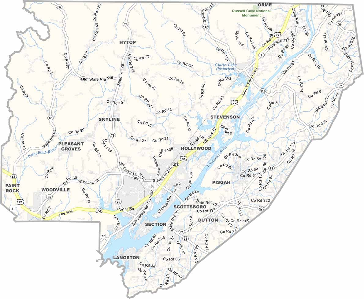
Jackson County Map Download Alabama – Outline Map and Blank Map

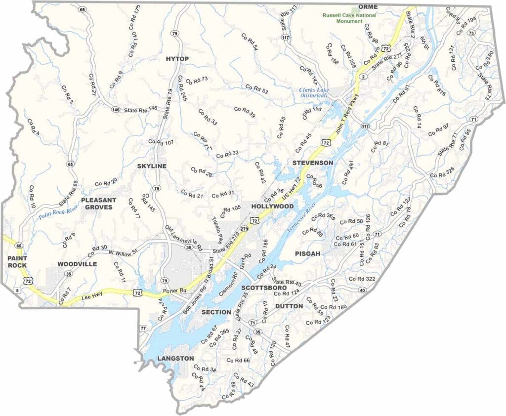
Jackson County Map Download Alabama – Outline Map and Blank Map

Jackson County maps showing boundaries and locations in Alabama.

Jackson County, Alabama

Tucked into the northeastern corner of Alabama, Jackson County features a diverse landscape that ranges from fertile valleys to rugged mountain terrain. It shares borders with Tennessee to the north and Georgia to the east, giving it a unique position at a regional crossroads.

The area is known for its natural beauty. The Tennessee River winds through the county, while the Walls of Jericho—often called the “Grand Canyon of the South”—stand out as a major outdoor attraction.

Scottsboro, the county seat, is best known for the Unclaimed Baggage Center, where lost luggage from travelers is resold and repurposed. Jackson County has a population of roughly 52,000 residents.
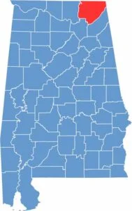

Jackson County location map showing its position in Alabama.
Category Details
County Name Jackson County
County Seat Jackson County
Cities, Towns, and Communities Scottsboro, Bridgeport, Stevenson, Hollywood, Pisgah, Section, Dutton, Skyline, Paint Rock, Woodville, Hytop, Langston, Pleasant Groves
Interstates and Highways U.S. Highway 72, U.S. Highway 72 Alternate, State Route 35, State Route 40, State Route 65, State Route 117
Etymology Named after Andrew Jackson, the seventh President of the United States
FIPS Code 01-071
Total Area (Land and Water) 1,127 square miles (Land: 1,078 sq mi, Water: 49 sq mi)
Time Zone Central Time Zone (CT)
State Alabama
Coordinates 34.7327° N, 85.9693° W
Major Landmarks Russell Cave National Monument, Scottsboro Boys Museum, Walls of Jericho, Cathedral Caverns State Park, Goose Pond Colony Resort
Adjacent Counties (and Direction) Marion County, Tennessee (Northeast), Dade County, Georgia (East), DeKalb County (Southeast), Marshall County (Southwest), Madison County (West), Franklin County, Tennessee (Northwest)
Population Approximately 52,000
Scroll to Top