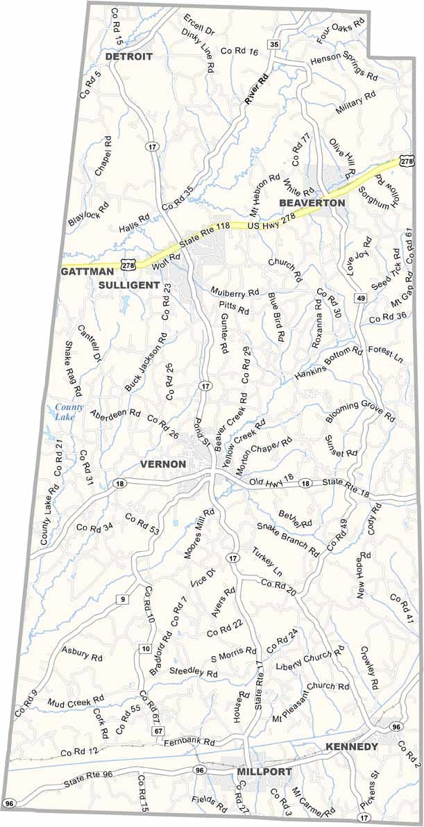
Lamar County Map Download Alabama – Outline Map and Blank Map

Lamar County Map Download Alabama – Outline Map and Blank Map

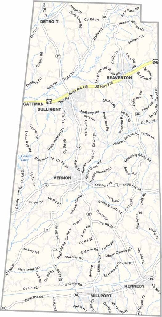
Lamar County maps showing boundaries and locations in Alabama.

Lamar County, Alabama

Along Alabama’s western edge, Lamar County borders Mississippi and offers a glimpse of small-town living at its core. With a population of about 13,500, it ranks among the state’s less populous counties.

Vernon, the county seat, is a quiet community with a rich sense of history. Major routes like U.S. Highway 278 and Alabama Highway 17 pass through the area, connecting it to neighboring regions.

Natural features add to the county’s character, with the Buttahatchee River flowing through the landscape. Outdoor enthusiasts are also drawn to the Sam Murphy Wildlife Management Area, a popular destination for hunting and enjoying nature.
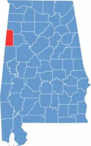

Lamar County location map showing its position in Alabama.
Category Details
County Name Lamar County
County Seat Vernon
Cities, Towns, and Communities Vernon, Sulligent, Millport, Kennedy, Beaverton, Detroit
Interstates and Highways U.S. Highway 278, State Route 17, State Route 18, State Route 96
Etymology Named after Lucius Quintus Cincinnatus Lamar, a U.S. Senator who also served as a Supreme Court Justice
FIPS Code 01-075
Total Area (Land and Water) 511 square miles (Land: 464 sq mi, Water: 47 sq mi)
Time Zone Central Time Zone (CT)
State Alabama
Coordinates 33.7574° N, 88.0979° W
Major Landmarks Lamar County Courthouse, Sam R. Murphy Wildlife Management Area, Twin Oaks Hunting Preserve, Vernon City Park
Adjacent Counties (and Direction) Marion County (North), Fayette County (East), Pickens County (South), Lowndes County, Mississippi (Southwest), Monroe County, Mississippi (West)
Population Approximately 13,500
Scroll to Top