
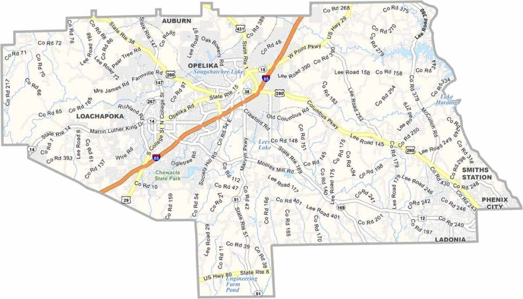
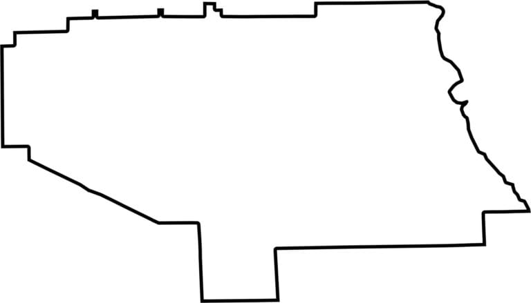
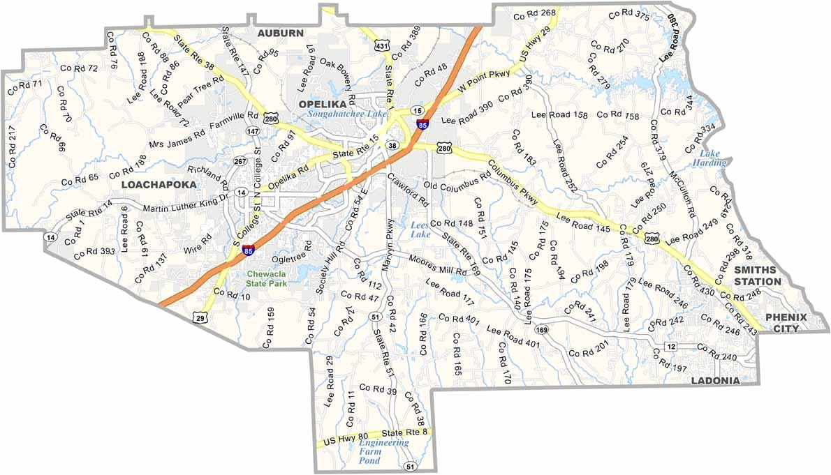
On Alabama’s eastern edge, Lee County is where rolling plains blend with the energy of a classic college town. Its county seat, Auburn, is home to Auburn University, one of the state’s major cultural and economic anchors.
With a population of roughly 180,000, the county brings together students, families, and retirees in a lively mix. Major routes like U.S. Highway 280 and Interstate 85 make travel through the region convenient and well-connected.
Just minutes from campus, Chewacla State Park offers trails, waterfalls, and an easy escape into nature. During football season, the area comes alive—so wearing orange and blue is practically part of the experience.
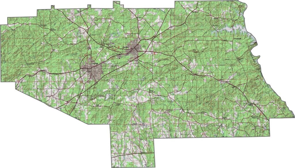
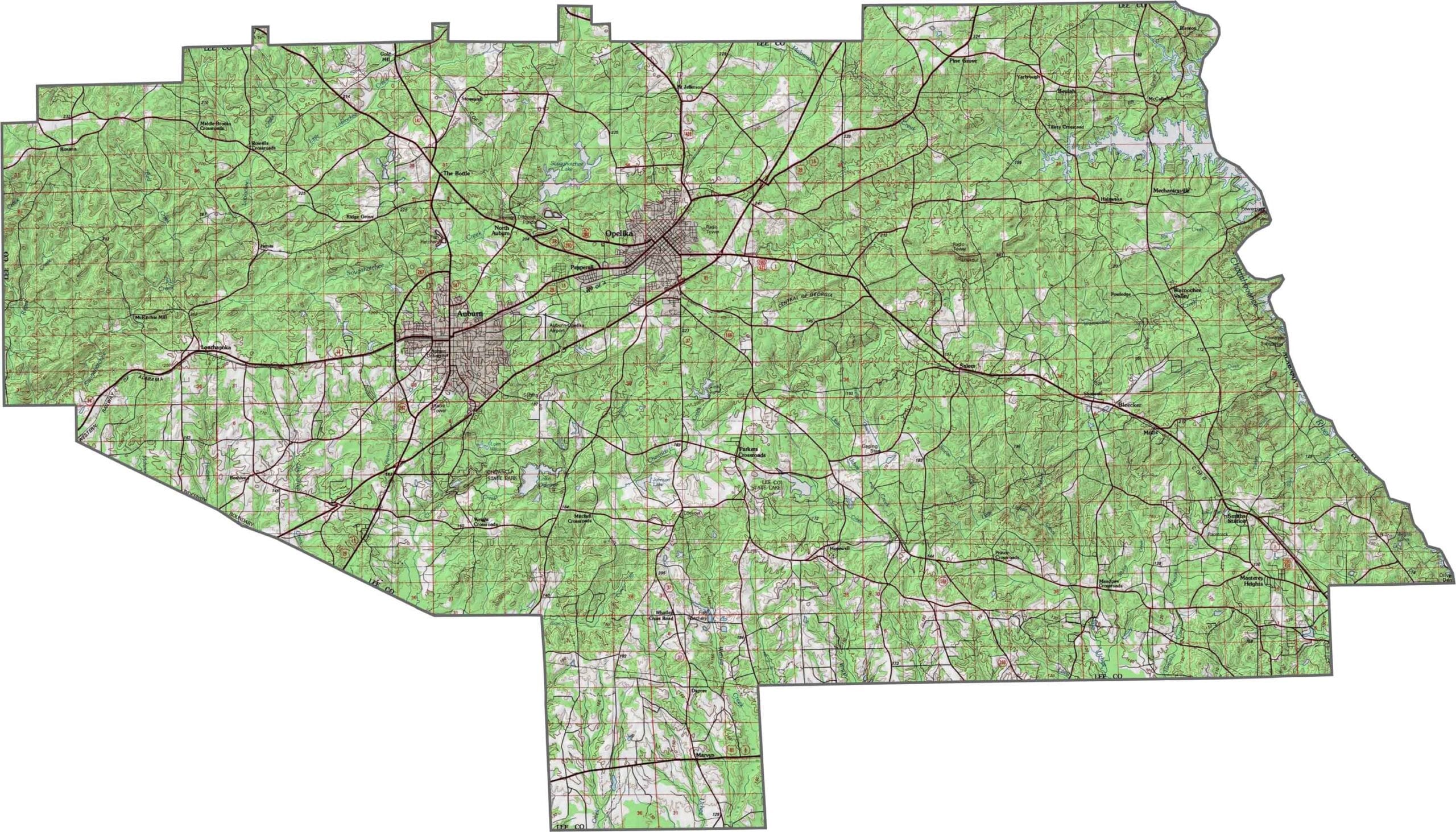
Explore Lee County’s hills, valleys, and waterways with this detailed topographic map. It offers a clear view of the region’s landforms, helping you better understand how the terrain is shaped and where its natural features lie.
This satellite map of Lee County highlights its cities, rivers, and farmland, giving you a clear and straightforward view of the region’s geography and how the landscape is arranged.
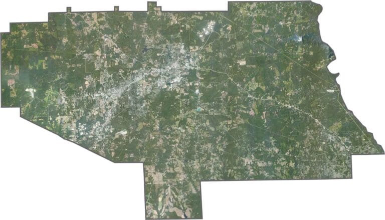
This satellite map of Lee County highlights its cities, rivers, and farmland, giving you a clear and straightforward view of the region’s geography and how the landscape is arranged.








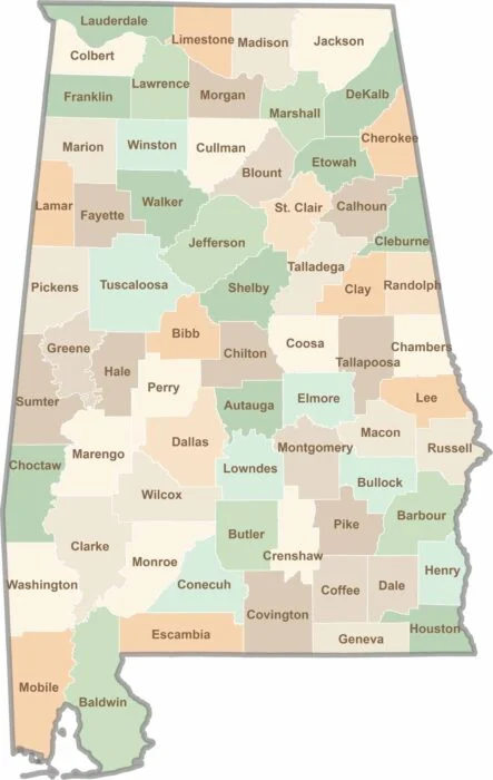
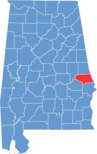
Want to explore Alabama one county at a time? Check out our Alabama county map—a simple and convenient way to see every county’s boundaries. It’s perfect for planning trips, exploring the state, or just satisfying your curiosity.