Limestone County Map Download Alabama – Outline Map and Blank Map

Limestone County Map Download Alabama – Outline Map and Blank Map

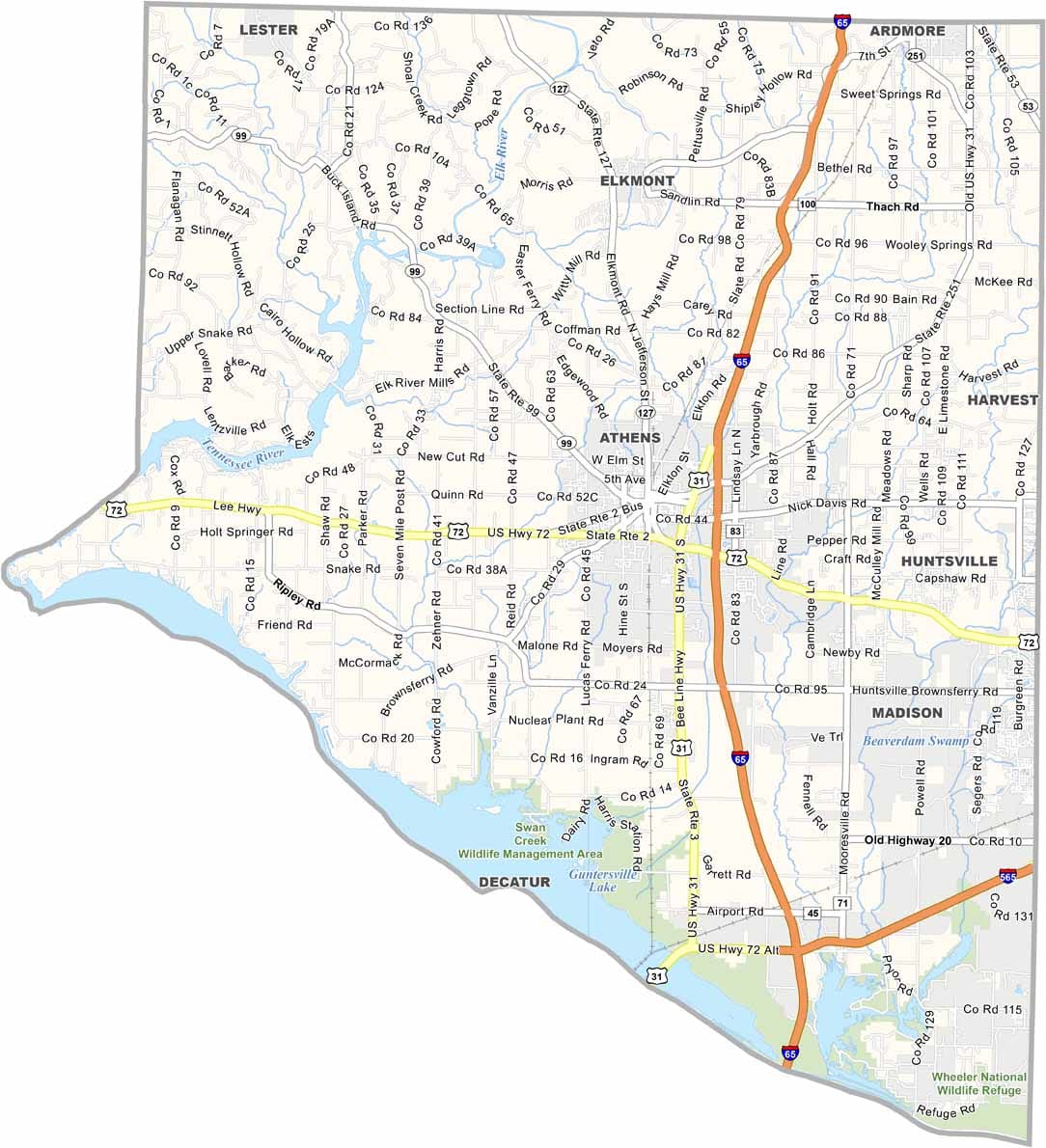
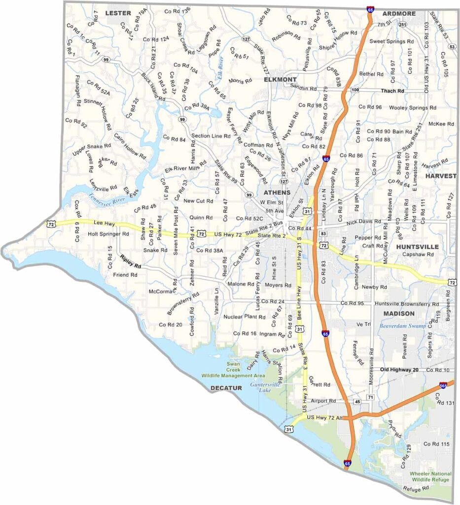
Limestone County maps showing boundaries and locations in Alabama.

Limestone County, Alabama

Limestone County sits in northern Alabama, with major routes like Interstate 65 and U.S. Highway 72 running through its center for easy access.

Its county seat, Athens, anchors a population of around 110,000. The presence of Athens State University—the state’s oldest college—adds a strong academic character to the area.

To the south, the Tennessee River forms a natural boundary, creating Wheeler Lake and a range of popular recreation spots. Nearby, the Elk River offers scenic views—perfect for a relaxing picnic by the water.
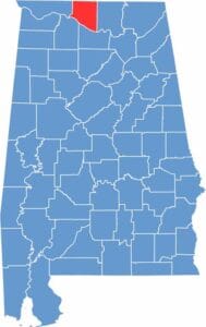

Limestone County location map showing its position in Alabama.
Category Details
County Name Limestone County
County Seat Athens
Cities, Towns, and Communities Athens, Madison (partly), Ardmore, Elkmont, Mooresville, Tanner, Belle Mina, Capshaw, Good Springs, Thach
Interstates and Highways Interstate 65, Interstate 565, U.S. Highway 31, U.S. Highway 72, State Route 99, State Route 127, State Route 251
Etymology Named after the limestone deposits found in the area
FIPS Code 01-083
Total Area (Land and Water) 607 square miles (Land: 560 sq mi, Water: 47 sq mi)
Time Zone Central Time Zone (CT)
State Alabama
Coordinates 34.8040° N, 86.9833° W
Major Landmarks Alabama Veterans Museum, Athens State University, Elk River, Wheeler National Wildlife Refuge (partly in Limestone County), Athens Historic District
Adjacent Counties (and Direction) Giles County, Tennessee (North), Lincoln County, Tennessee (Northeast), Madison County (East), Morgan County (Southeast), Lawrence County (Southwest), Lauderdale County (West)
Population Approximately 110,000
Scroll to Top