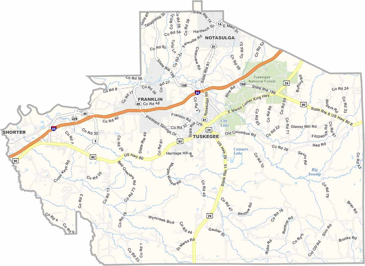
Macon County Map Download Alabama – Outline Map and Blank Map

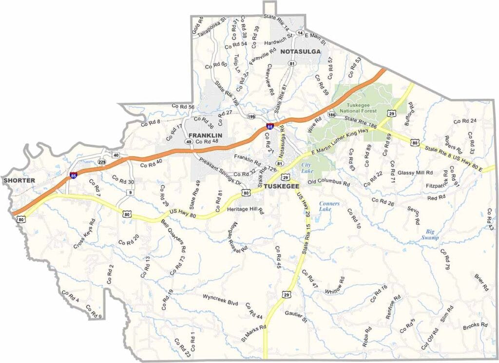
Macon County Map Download Alabama – Outline Map and Blank Map

Printable Macon County Alabama map showing county boundaries and locations

Macon County, Alabama

Macon County, located in east-central Alabama, is deeply rooted in African American history and education. With a population of around 18,000, the county is connected by major routes like U.S. Highway 80 and Interstate 85.

The county seat, Tuskegee, is home to Tuskegee University, a historic institution founded by Booker T. Washington, who also served as its first teacher.

Macon County is rich with historical landmarks, including the Tuskegee Airmen National Historic Site and the Booker T. Washington National Monument. Comfortable walking shoes are a good idea—there’s plenty of history here to explore on foot.
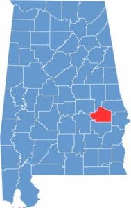

Printable Macon County Alabama location map showing county location and boundaries
Category Details
County Name Macon County
County Seat Tuskegee
Cities, Towns, and Communities Tuskegee, Shorter, Notasulga, Franklin, Fort Davis, Hardaway
Interstates and Highways Interstate 85, U.S. Highway 29, U.S. Highway 80, State Route 14, State Route 49, State Route 81, State Route 199
Etymology Named after Nathaniel Macon, a U.S. Senator from North Carolina
FIPS Code 01-087
Total Area (Land and Water) 613 square miles (Land: 609 sq mi, Water: 4 sq mi)
Time Zone Central Time Zone (CT)
State Alabama
Coordinates 32.3876° N, 85.6923° W
Major Landmarks Tuskegee University, Tuskegee Airmen National Historic Site, Booker T. Washington National Monument, George Washington Carver Museum, Tuskegee National Forest
Adjacent Counties (and Direction) Tallapoosa County (North), Lee County (Northeast), Russell County (Southeast), Bullock County (South), Montgomery County (Southwest), Elmore County (Northwest)
Population Approximately 18,000
Scroll to Top