Lowndes County Map Download Alabama – Outline Map and Blank Map

Lowndes County Map Download Alabama – Outline Map and Blank Map

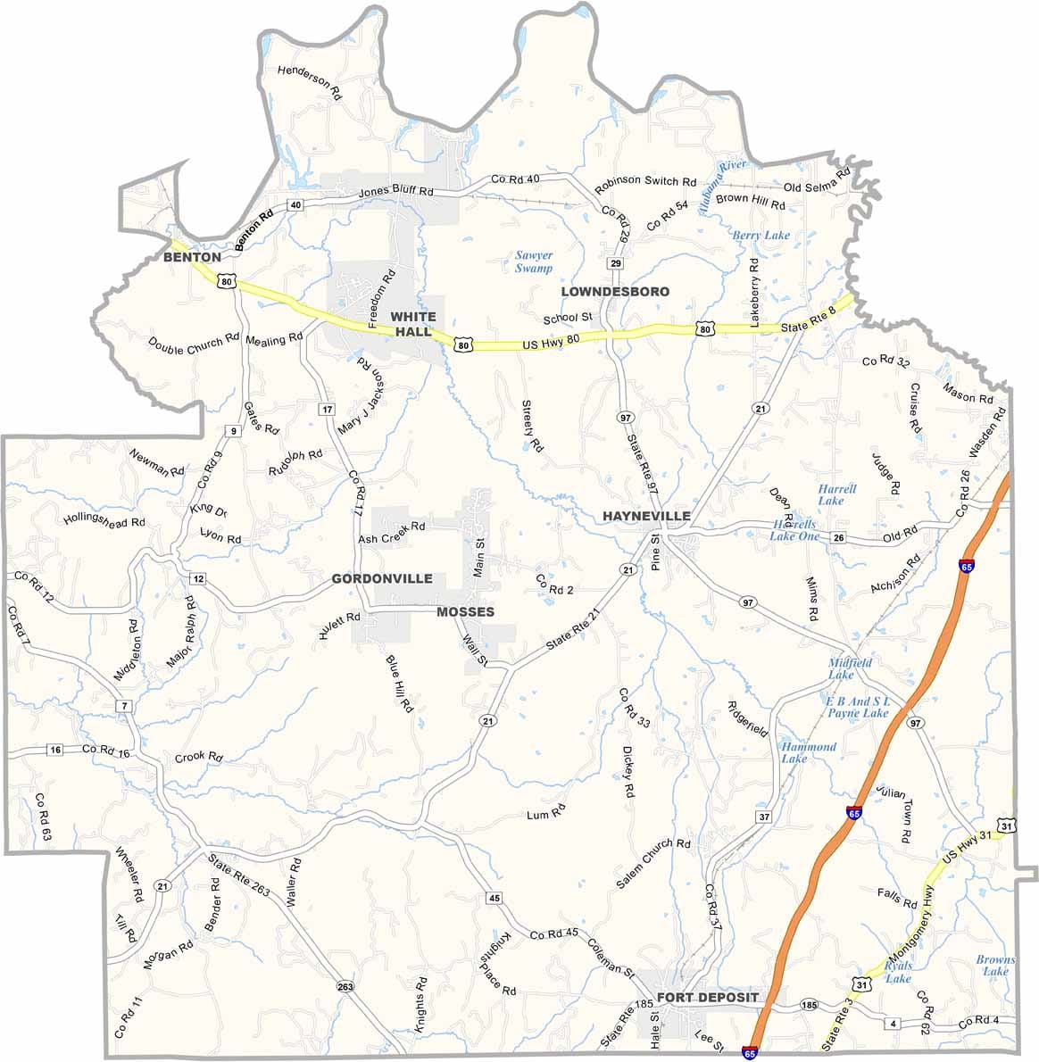
Lowndes County maps showing boundaries and locations in Alabama.

Lowndes County, Alabama

Located in Alabama’s Black Belt, Lowndes County is a place where history carries lasting weight. U.S. Highway 80 runs through the county as part of the Selma to Montgomery National Historic Trail, linking several important civil rights landmarks.

Though its population is just around 10,000, the county has had an outsized impact on American history. Hayneville, the county seat, was the site of significant events during the Civil Rights Movement.

Today, the Lowndes Interpretive Center preserves and shares this powerful legacy, offering visitors a deeper understanding of the county’s role in shaping the nation’s past.
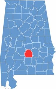

Lowndes County location map showing its position in Alabama.
Category Details
County Name Lowndes County
County Seat Hayneville
Cities, Towns, and Communities Hayneville, Fort Deposit, Mosses, White Hall, Benton, Lowndesboro
Interstates and Highways Interstate 65, U.S. Highway 80, State Route 21, State Route 97
Etymology Named after William Lowndes, a U.S. Congressman from South Carolina
FIPS Code 01-085
Total Area (Land and Water) 725 square miles (Land: 716 sq mi, Water: 9 sq mi)
Time Zone Central Time Zone (CT)
State Alabama
Coordinates 32.1615° N, 86.6506° W
Major Landmarks Lowndes Interpretive Center (part of the Selma to Montgomery National Historic Trail), Holy Ground Battlefield Park, Lowndes County Courthouse, Calhoun School (historic)
Adjacent Counties (and Direction) Autauga County (North), Montgomery County (East), Crenshaw County (Southeast), Butler County (South), Wilcox County (Southwest), Dallas County (West)
Population Approximately 10,000
Scroll to Top