Sumter County Map Download Alabama – Outline Map and Blank Map

Sumter County Map Download Alabama – Outline Map and Blank Map

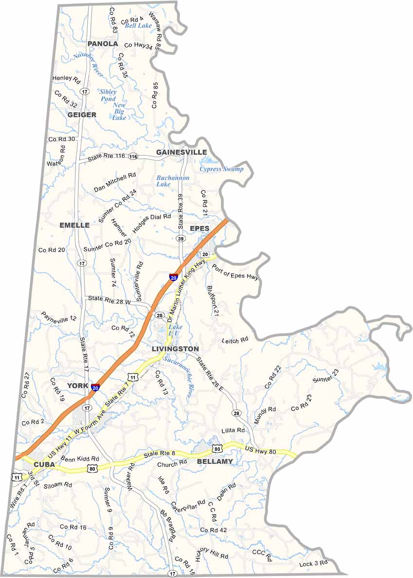
Sumter County maps showing boundaries and locations in Alabama.

Sumter County, Alabama

Sumter County is located in western Alabama along the Mississippi border, with Livingston serving as its county seat and a population of about 13,000 residents. The University of West Alabama in Livingston adds a strong collegiate presence to this otherwise rural area.

The local economy is largely driven by agriculture, especially cattle farming and timber production. Major routes like U.S. Highway 80 and Interstate 20 pass through the county, crossing wide rural landscapes.

The county is named after General Thomas Sumter, a Revolutionary War hero from South Carolina.
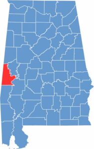
Sumter County location map showing its position in Alabama.
Category Details
County Name Sumter County
County Seat Livingston
Cities, Towns, and Communities Livingston, York, Cuba, Gainesville, Emelle, Bellamy, Epes, Geiger, Panola, Ward
Interstates and Highways Interstate 20/59, U.S. Highway 11, U.S. Highway 80, State Route 17, State Route 28, State Route 39
Etymology Named after General Thomas Sumter, a U.S. Congressman from South Carolina
FIPS Code 01-119
Total Area (Land and Water) 913 square miles (Land: 904 sq mi, Water: 9 sq mi)
Time Zone Central Time Zone (CT)
State Alabama
Coordinates 32.5933° N, 88.1962° W
Major Landmarks University of West Alabama, Sumter County Courthouse, Old Courthouse Museum, Gainesville Historic District
Adjacent Counties (and Direction) Pickens County (North), Greene County (Northeast), Marengo County (Southeast), Choctaw County (South), Lauderdale County, Mississippi (Southwest), Kemper County, Mississippi (West), Noxubee County, Mississippi (Northwest)
Population Approximately 13,000
Scroll to Top