
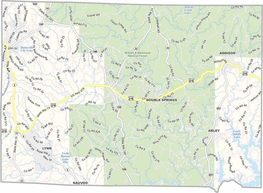
Winston County Map, Alabama

Winston County is located in north-central Alabama, with Double Springs serving as its county seat. The county has a population of approximately 24,000 residents.

It is known as the “Free State of Winston,” a nickname that comes from its historical resistance to secession during the Civil War. The eastern border of the county is shaped by Lewis Smith Lake, which attracts many visitors for fishing and boating.

A large portion of the area is covered by the Bankhead National Forest, making it a popular destination for outdoor exploration. Lewis Smith Lake, with its clear and deep waters, remains one of the county’s major recreational highlights.
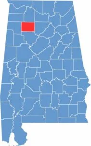

Winston Location Map Alabama
Category Details
County Name Winston County
County Seat Double Springs
Cities, Towns, and Communities Double Springs, Haleyville, Lynn, Addison, Arley, Natural Bridge, Nauvoo (partly)
Interstates and Highways U.S. Highway 278, State Route 5, State Route 13, State Route 195, State Route 33, State Route 41
Etymology Named after John A. Winston, the 15th Governor of Alabama
FIPS Code 01-133
Total Area (Land and Water) 632 square miles (Land: 613 sq mi, Water: 19 sq mi)
Time Zone Central Time Zone (CT)
State Alabama
Coordinates 34.1466° N, 87.3733° W
Major Landmarks Bankhead National Forest, Lewis Smith Lake, Kinlock Shelter Archaeological Site, William B. Bankhead House, Natural Bridge Park
Adjacent Counties (and Direction) Lawrence County (North), Cullman County (East), Walker County (South), Marion County (West), Franklin County (Northwest)
Population Approximately 24,000
Scroll to Top





