Aleutians East Borough, Alaska

Aleutians East Borough lies along Alaska’s southern coast, stretching across the eastern Aleutian Islands. It is a remote and rugged region, home to only about 3,000 residents spread across six small communities.

The area is well known for its active volcanoes, including Mount Pavlof, which frequently erupts. Wildlife is abundant, with brown bears roaming the land and large colonies of seabirds nesting along the cliffs. Fishing is a major part of the local economy, as the surrounding waters are rich in crab and other seafood.

Unalaska serves as the main community and has a history that dates back to the early Aleut inhabitants. Visitors can enjoy activities like fishing, hiking, and exploring historic World War II sites. Though life here can be challenging due to its isolation, the region offers unmatched natural beauty and a truly untamed landscape, making it an ideal destination for those seeking a quieter side of Alaska.
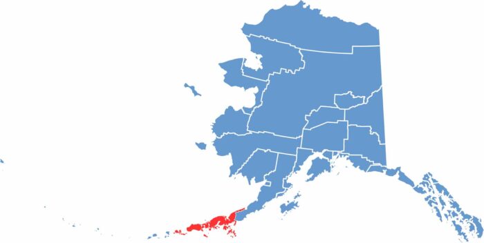
Aleutians East location map showing the geographic position of Aleutians East Borough in Alaska.
Category Details
County Name Aleutians East Borough
County Seat Sand Point
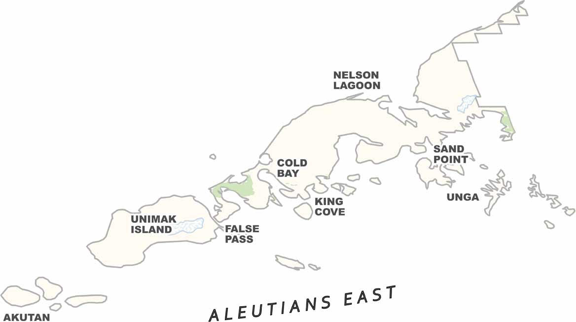
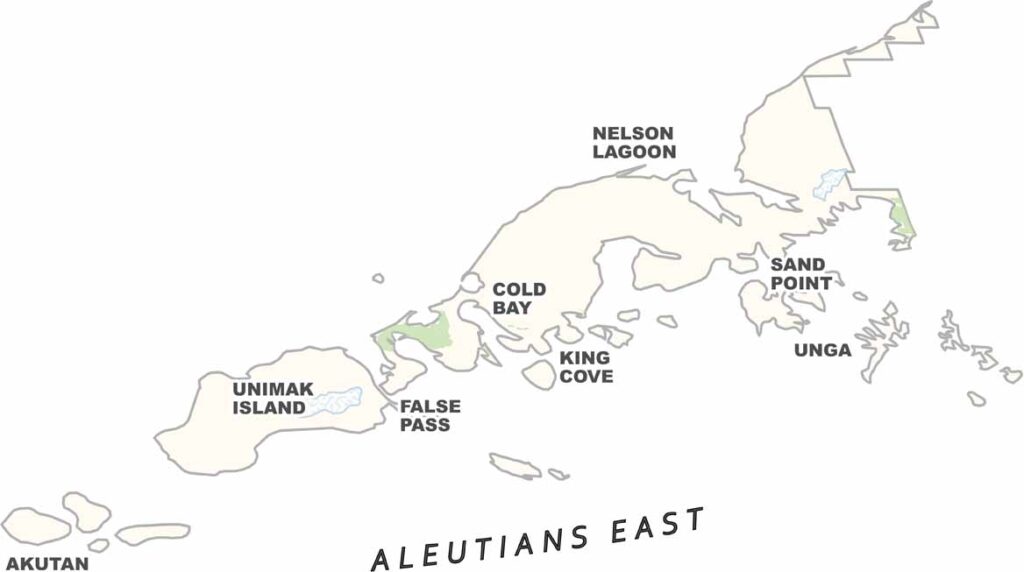
Cities, Towns, and Communities Sand Point, King Cove, Cold Bay, False Pass, Akutan, Nelson Lagoon, Belkofski
Interstates and Highways None (No interstates or major highways in the borough)
Etymology Named after the Aleutian Islands, which are derived from the Aleut word “allithuh” meaning “island”
FIPS Code 02-013
Total Area (Land and Water) 15,010 square miles (Land: 6,999 sq mi, Water: 8,011 sq mi)
Time Zone Alaska Time Zone (AKT)
State Alaska
Coordinates 55.1872° N, 160.2000° W
Major Landmarks Izembek National Wildlife Refuge, Shumagin Islands, Pavlof Volcano, Aniakchak National Monument and Preserve (partially in borough)
Adjacent Counties (and Direction) Lake and Peninsula Borough (East), Aleutians West Census Area (West)
Population Approximately 3,200
Scroll to Top