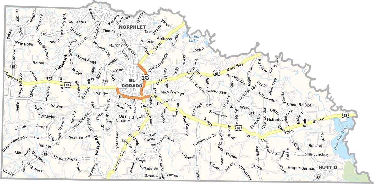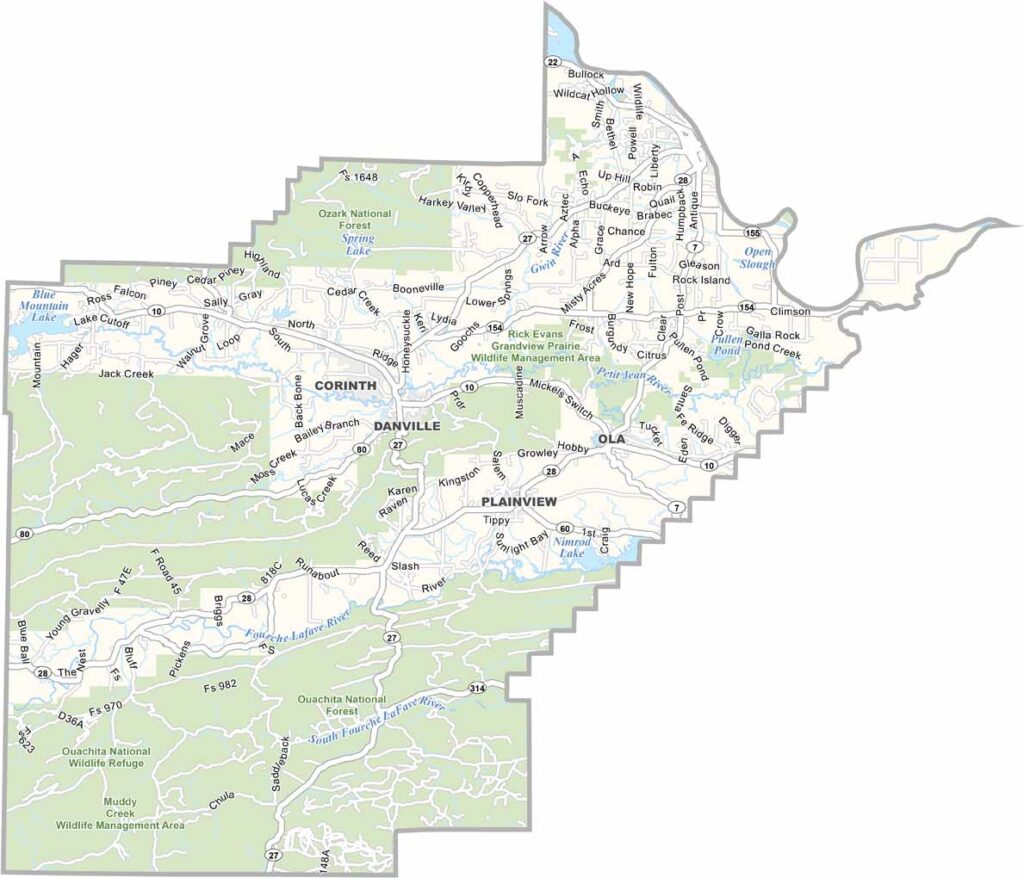
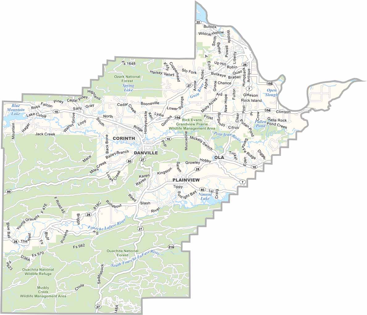
Yell County Map, Arkansas

Yell County, Arkansas

Yell County is located in west-central Arkansas. Highways 10 and 7 run through the area, connecting it to the Ozarks. Dardanelle serves as the county seat.

The county is known for the scenic views at Mount Nebo State Park and outdoor activities along the Arkansas River. Both offer beautiful places to enjoy nature.

With around 22,000 residents, agriculture plays an important role in the local economy, particularly poultry and cattle farming. Yell County offers a blend of scenic landscapes and rural living.
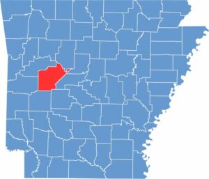
Location map of Yell County, Arkansas
CategoryDetails
County NameYell County
County SeatDardanelle
EtymologyNamed after Archibald Yell, a former governor of Arkansas
Cities, Towns, and CommunitiesDardanelle, Danville, Ola, Belleville, Plainview, Havana
Interstates and HighwaysU.S. Highway 7, U.S. Highway 27, Arkansas Highway 10
FIPS Code05-149
Total Area (Land and Water)1,099 square miles (Land: 1,089 sq mi, Water: 10 sq mi)
Adjacent Counties (and Direction)Pope County (North), Conway County (Northeast), Perry County (East), Garland County (Southeast), Montgomery County (South), Scott County (West), Logan County (Northwest)
Time ZoneCentral Standard Time (CST)
StateArkansas
Coordinates34.9051° N, 93.2934° W
Major LandmarksOzark National Forest, Mount Nebo State Park, Mount Magazine State Park (partly)
PopulationApproximately 22,000
Scroll to Top