

Arapahoe County stretches from the Denver metropolitan area into the eastern plains. The county is long and narrow, covering a mix of urban communities, farmland, and open spaces. It was established when Colorado was still a territory and was named after the Arapaho people who historically lived in the region.
The western part of the county is highly urbanized, with communities such as Aurora and Littleton, while the eastern areas become more rural, with farms and wide-open spaces. Cherry Creek flows through the county and provides opportunities for hiking, biking, and outdoor recreation, including at Cherry Creek State Park.
Centennial Airport is an important transportation hub for private aircraft and business jets. Arapahoe County continues to grow, particularly along the expanding edges of the Denver metro area. Its economy and lifestyle range from high-tech industries and suburban communities to agriculture, ranching, and local events, offering a blend of city and country living.
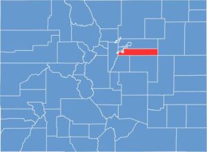
Arapahoe County stretches from the urban plains in the west to the rural high plains in the east. The county gradually slopes upward from east to west, and our zoom tool lets you explore these subtle elevation changes across the landscape.

This satellite imagery highlights the contrast between urban development in the west and rural landscapes in the east. Several reservoirs appear as scattered blue features across the county.

Our blank map of Arapahoe County stretches eastward from Denver into the plains, with mostly straight-line boundaries. Located just south of Denver County, its elongated shape extends horizontally across the region.











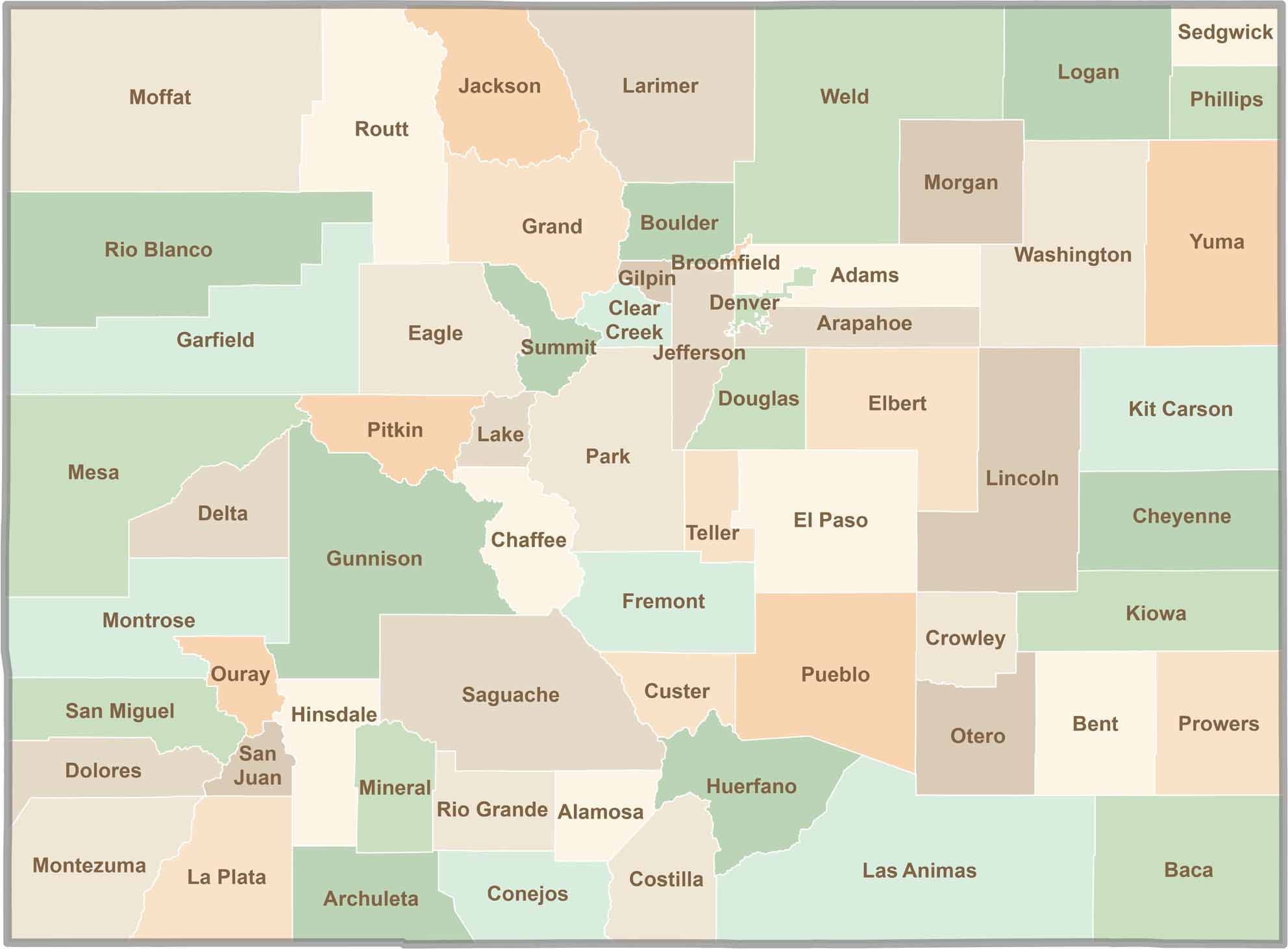
Think you know all 64 counties in Colorado? Our Colorado County Map brings them all together in one place, from the towering Rocky Mountains to the expansive eastern plains. Explore the Centennial State county by county and discover the diverse regions that make Colorado unique.