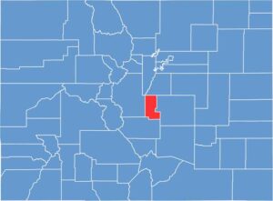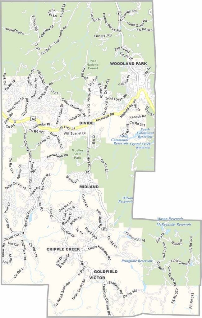
Teller County is located just west of Colorado Springs in the southern Rocky Mountains. Much of the county sits at high elevations and is covered by forests, including extensive areas of Pike National Forest, which offers excellent opportunities for hiking, camping, and outdoor recreation.
Woodland Park is the largest community and is known as the “City Above the Clouds” because of its high elevation. Cripple Creek is famous for its historic mining district and casinos, while nearby Victor retains the character of an old mining town with a quieter atmosphere.
Tourism and outdoor recreation are important parts of the local economy, although winters can bring challenging weather and road conditions. With its mountain scenery, forested landscapes, and convenient access to Colorado Springs, Teller County offers a peaceful mountain lifestyle within reach of a larger city.