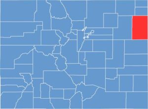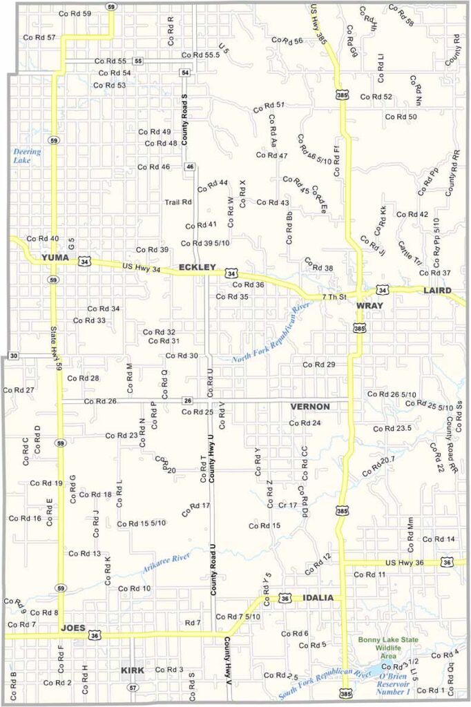
Yuma County is located in the northeastern corner of Colorado, along the state’s borders with Nebraska and Kansas. The communities of Yuma and Wray serve as the county’s main population centers, with agriculture shaping much of the local economy.
Farming is a major industry, with corn, wheat, and other crops covering the plains. The county also has wind energy development and offers opportunities for hunting and fishing. The wide-open landscape gives Yuma County a distinctly rural character.
Yuma County was heavily affected by the Dust Bowl during the 1930s, but the region gradually recovered. Today, fewer than 10,000 people live in the county, and its population remains relatively stable. With its expansive farmland, small communities, and open plains, Yuma County reflects the agricultural character of eastern Colorado.