
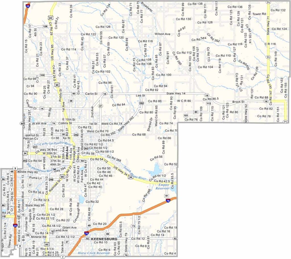
Weld County is located in northeastern Colorado, with Greeley serving as its largest city. The county is well known for its rodeo culture, cattle feedlots, and a landscape that combines extensive farmland with active oil and gas fields.
The county has a large Hispanic community, which contributes to its diverse culture and excellent food scene. The University of Northern Colorado (UNC) is also located in Greeley, giving the city a lively college-town atmosphere.
The Pawnee National Grassland covers part of eastern Weld County and is a popular destination for birdwatching and stargazing. Parts of the county are also experiencing suburban growth connected to the expanding Denver metropolitan area. Despite this development, Weld County continues to maintain its strong agricultural, industrial, and rural character.
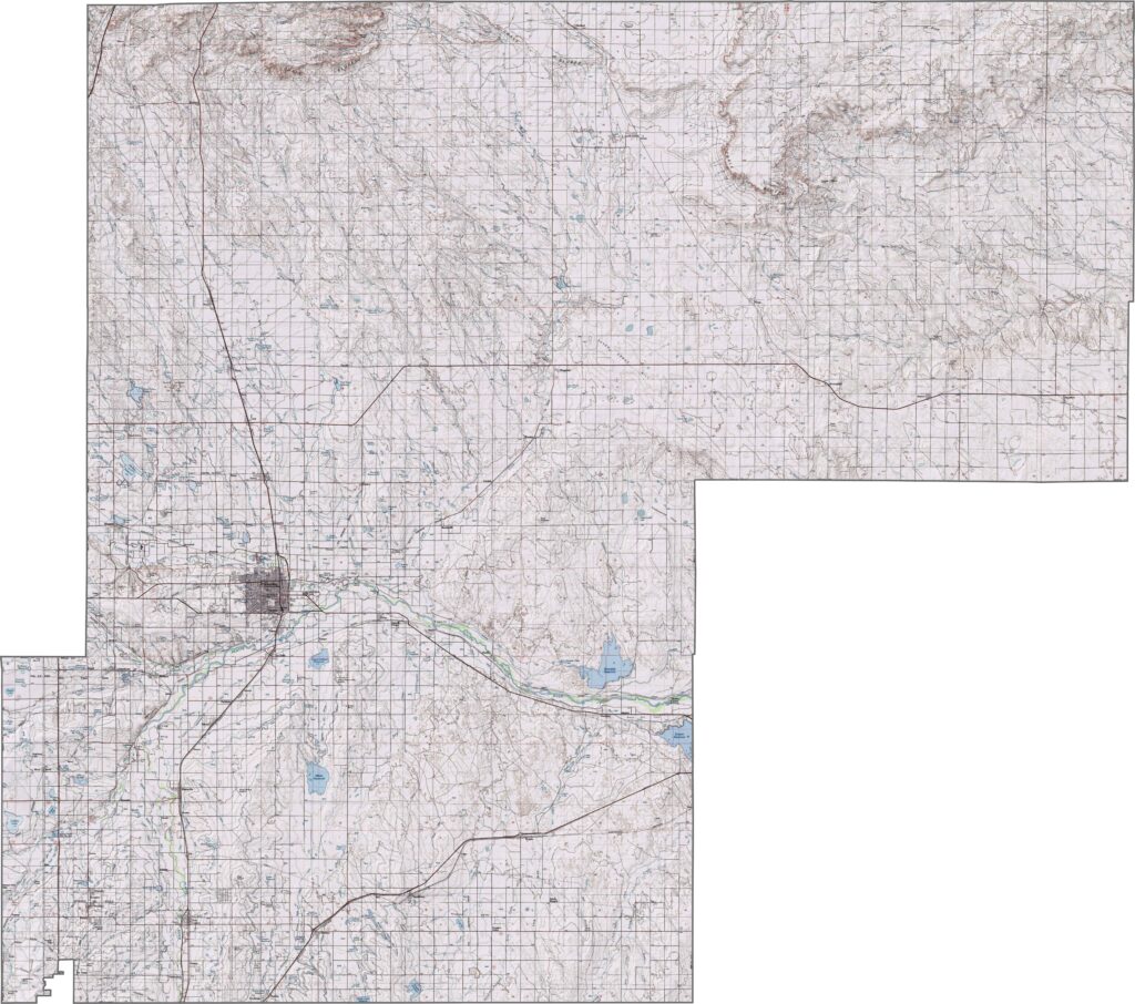
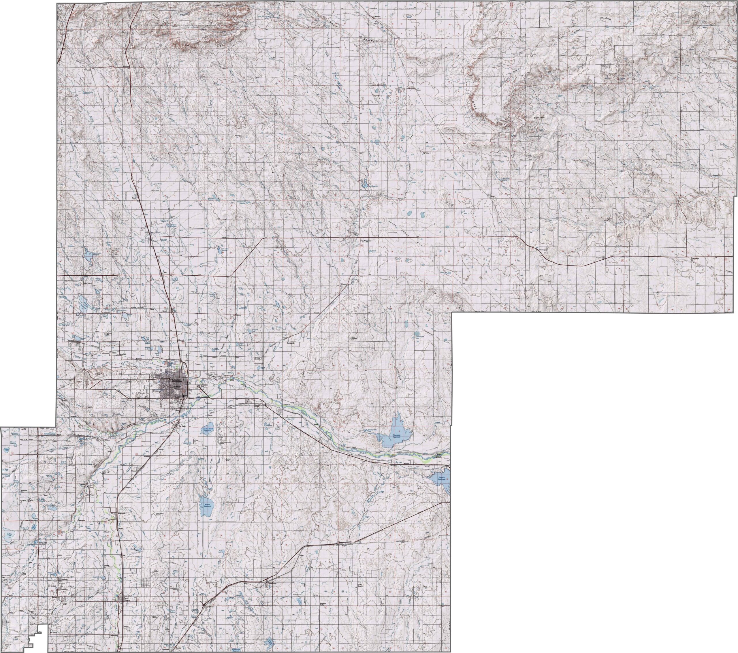
This topographic map highlights Benton County’s Ozark hills and plateaus, with varying elevations across the landscape. The contour lines reveal detailed terrain features around the county’s cities, lakes, and surrounding areas
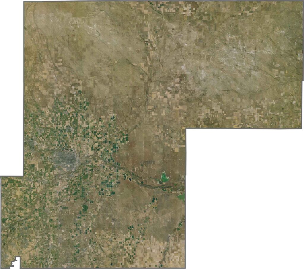
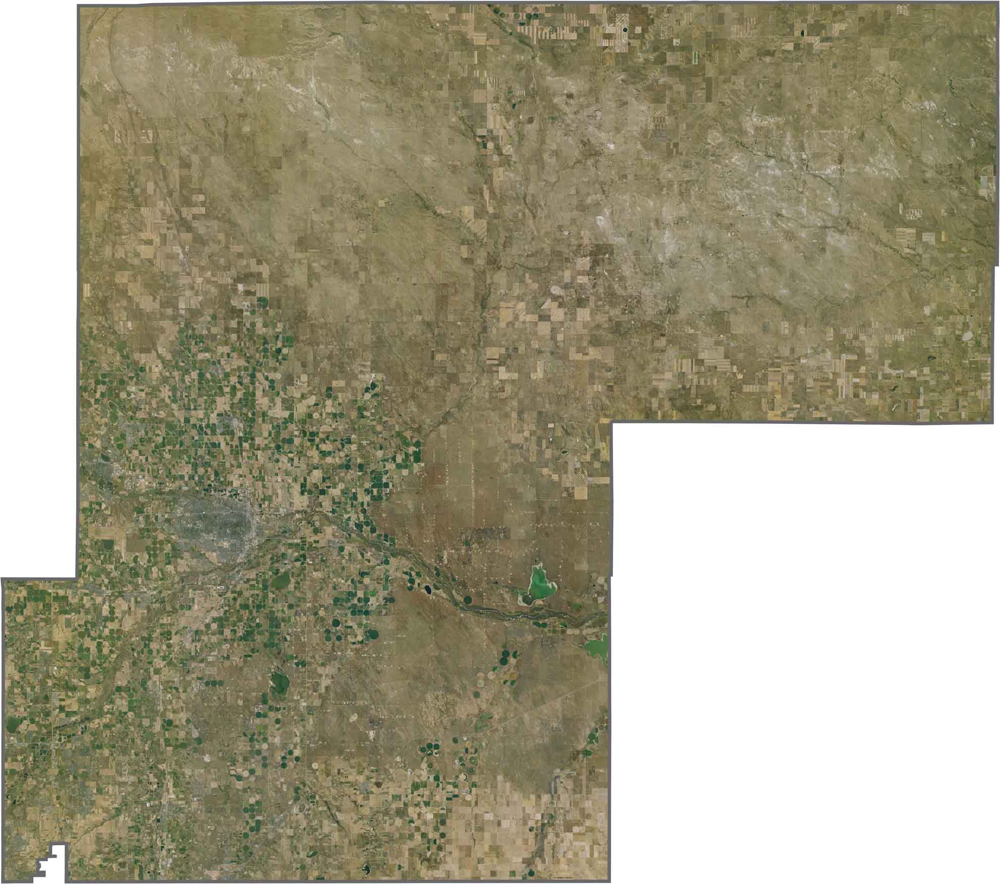
From above, you’ll see the distinctive geometric patterns of irrigated farm circles spread across Weld County. The South Platte River also creates a green corridor that stands out against the surrounding prairie landscape.
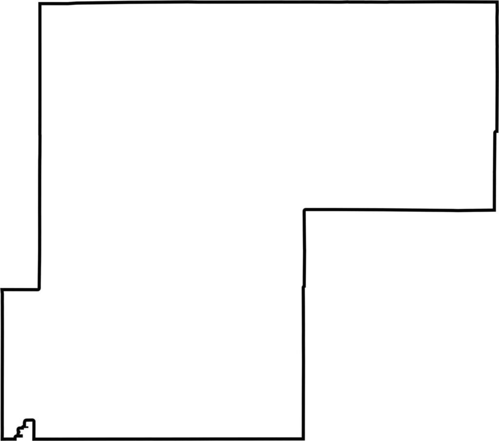
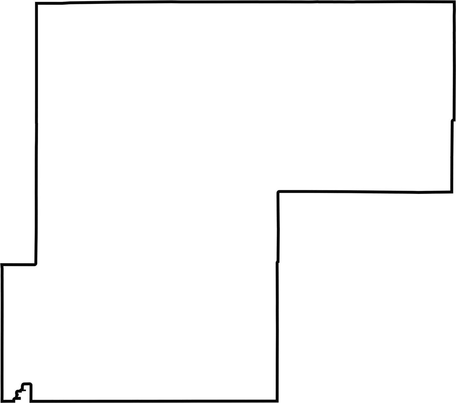
Our outline map of Weld County shows a shape made up of two large rectangular sections, with Wyoming along the northern border. The county’s large, almost square shape makes it one of the biggest counties in Colorado.







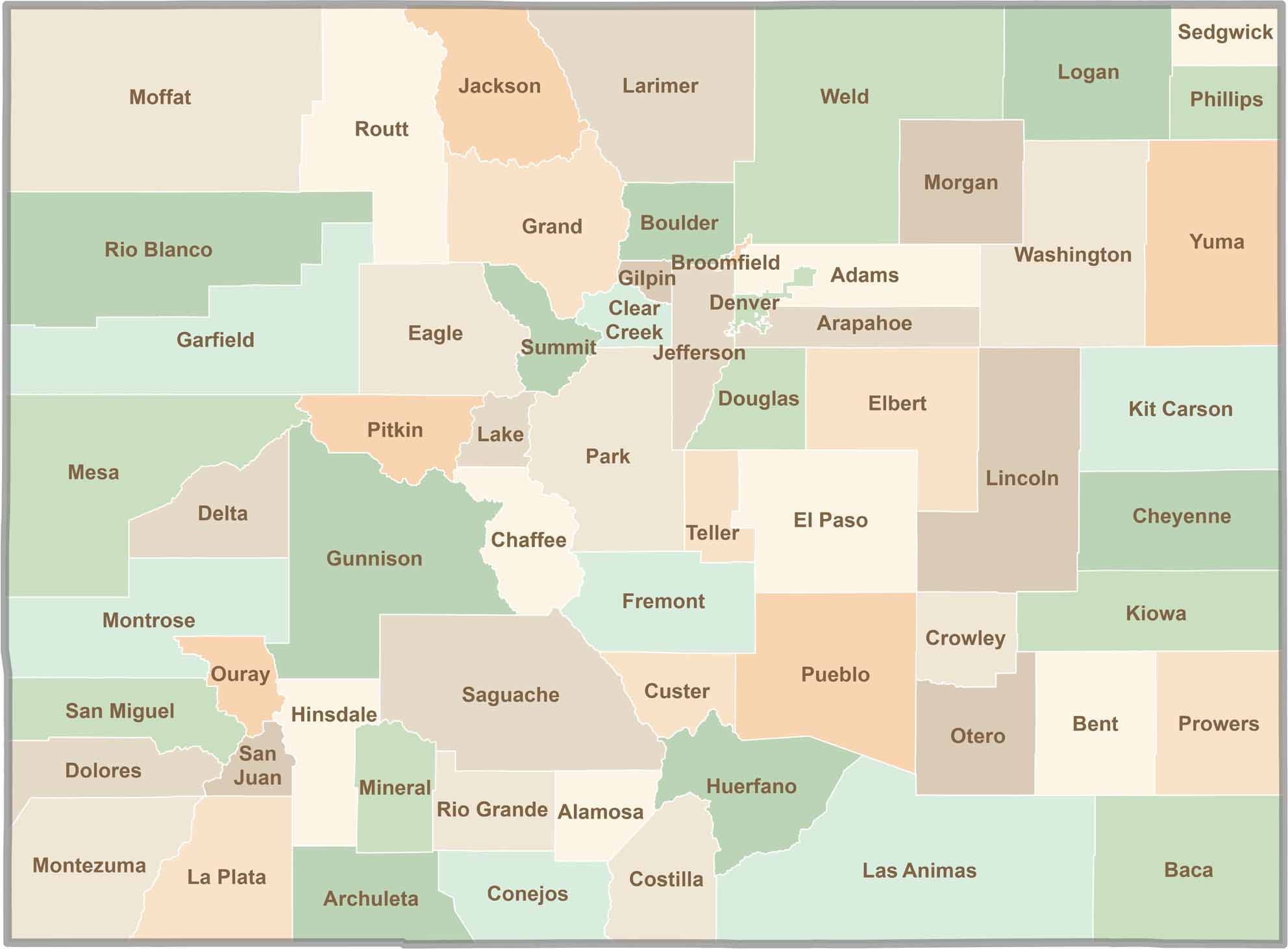
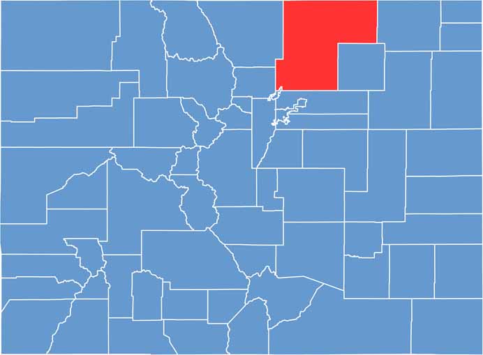
Think you know all 64 counties in Colorado? Our Colorado County Map brings them all together in one place, from the towering Rocky Mountains to the expansive eastern plains. Explore the Centennial State county by county and discover the diverse regions that make Colorado unique.