
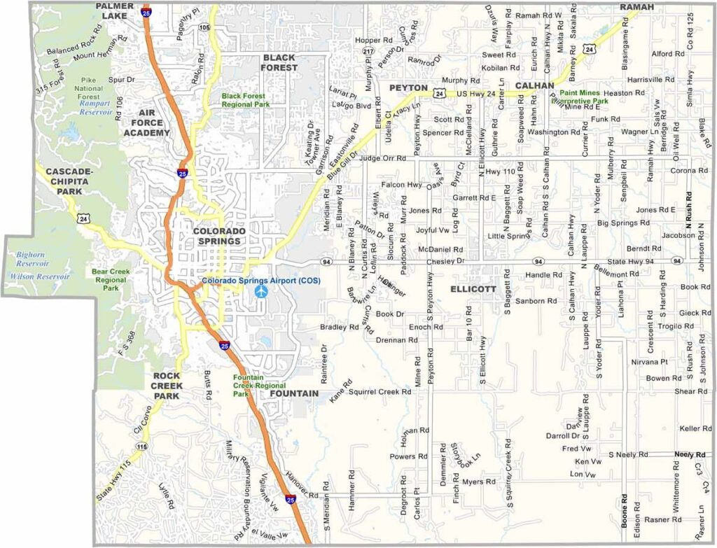
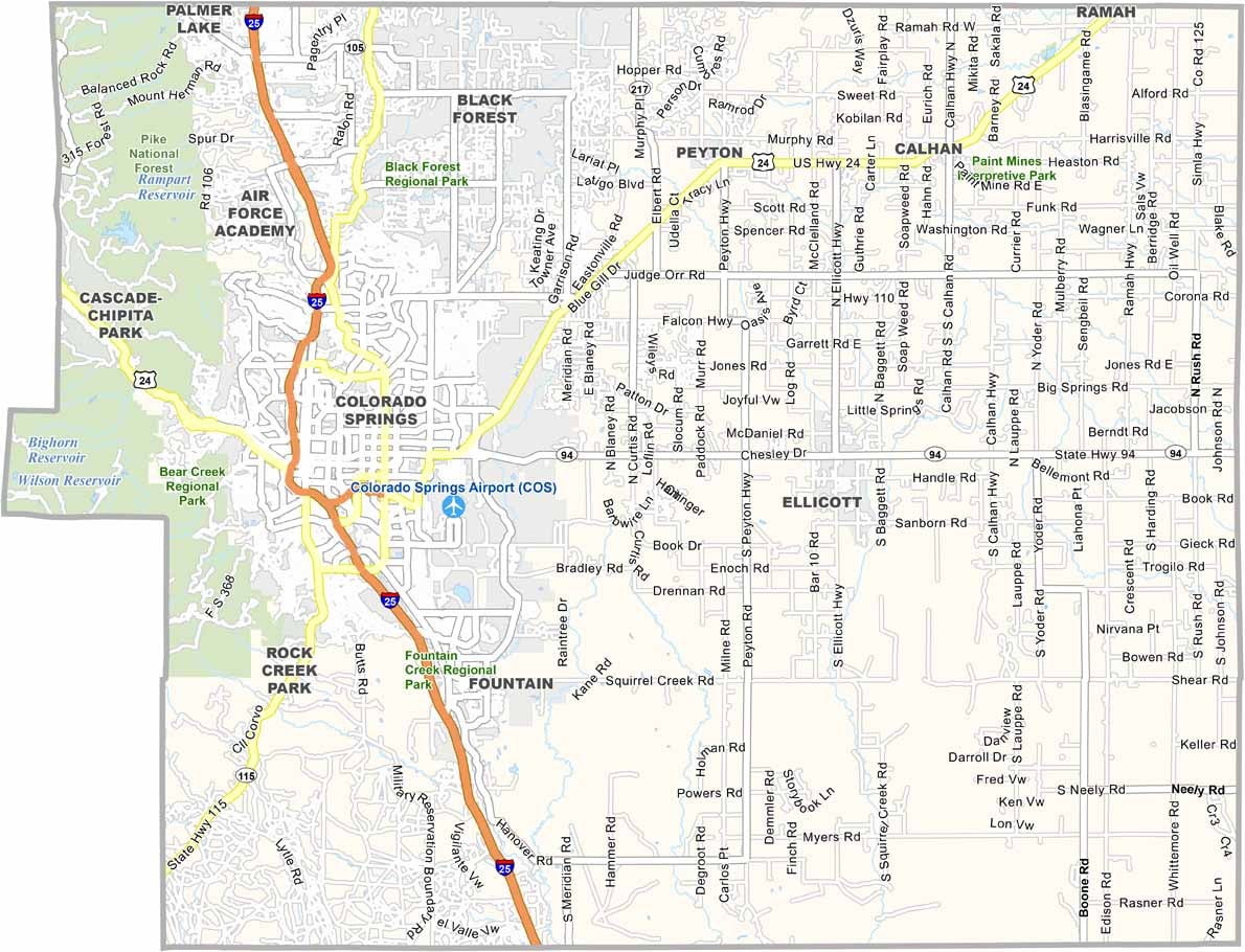
El Paso County is located in central Colorado and is anchored by Colorado Springs, the county’s largest city. It is the most populous county in the state and stretches from the Rocky Mountains in the west to the open plains in the east.
The county is home to several major attractions. Pikes Peak dominates the western skyline, while Garden of the Gods is famous for its dramatic red rock formations and scenic trails.
Colorado Springs continues to grow, with new developments expanding across the eastern part of the city. Nearby Manitou Springs offers a more eclectic atmosphere with its historic mineral springs. El Paso County is also home to the U.S. Air Force Academy and several important military installations.
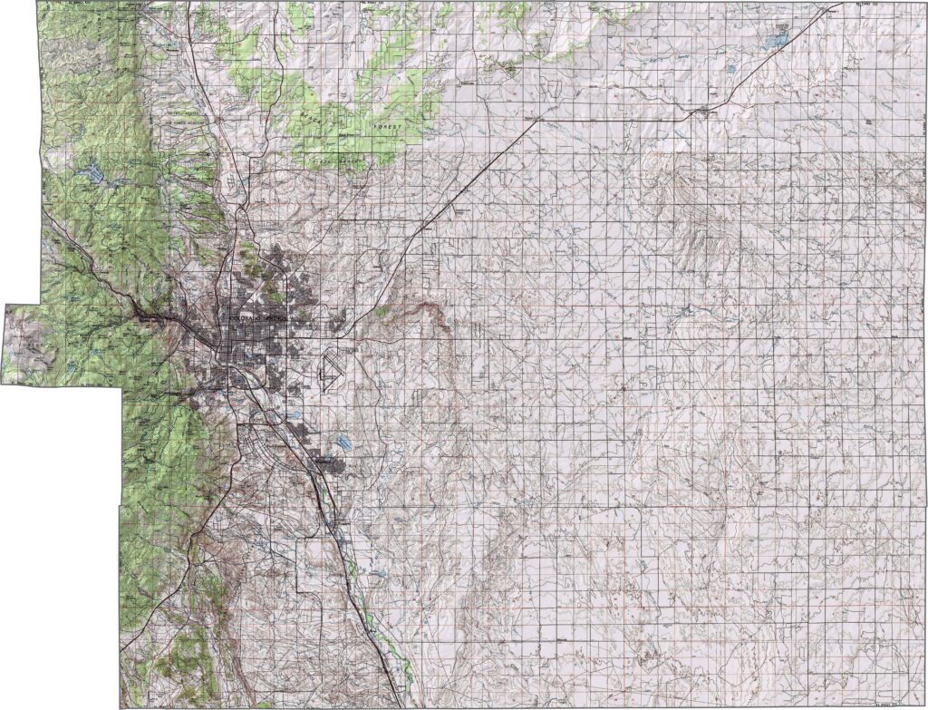
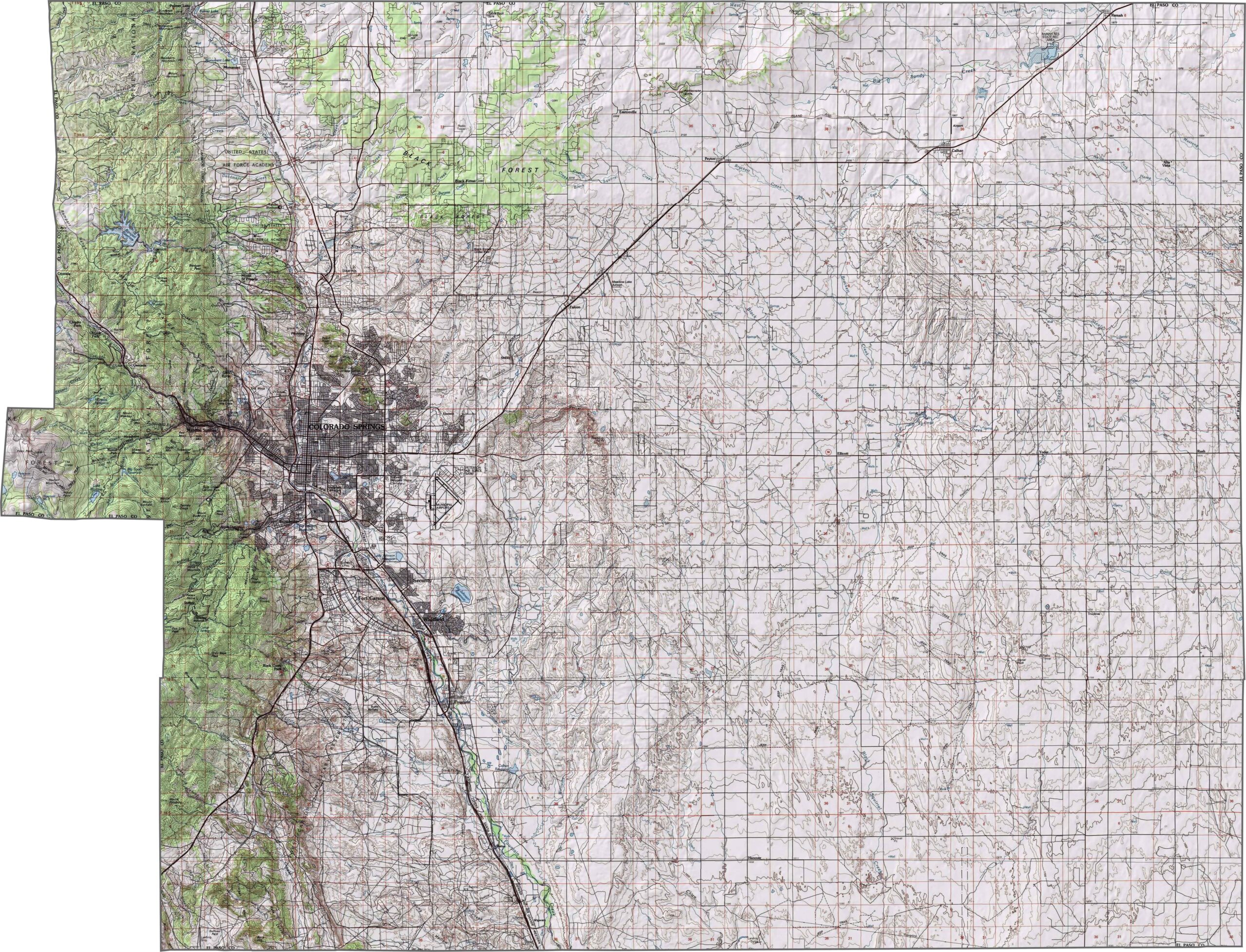
Our topographic map of El Paso County highlights the dramatic rise of Pikes Peak from the eastern plains. Elevations range from about 5,000 feet in the east to more than 14,000 feet in the west. Use our new zoom tool to explore these impressive mountain formations in greater detail.
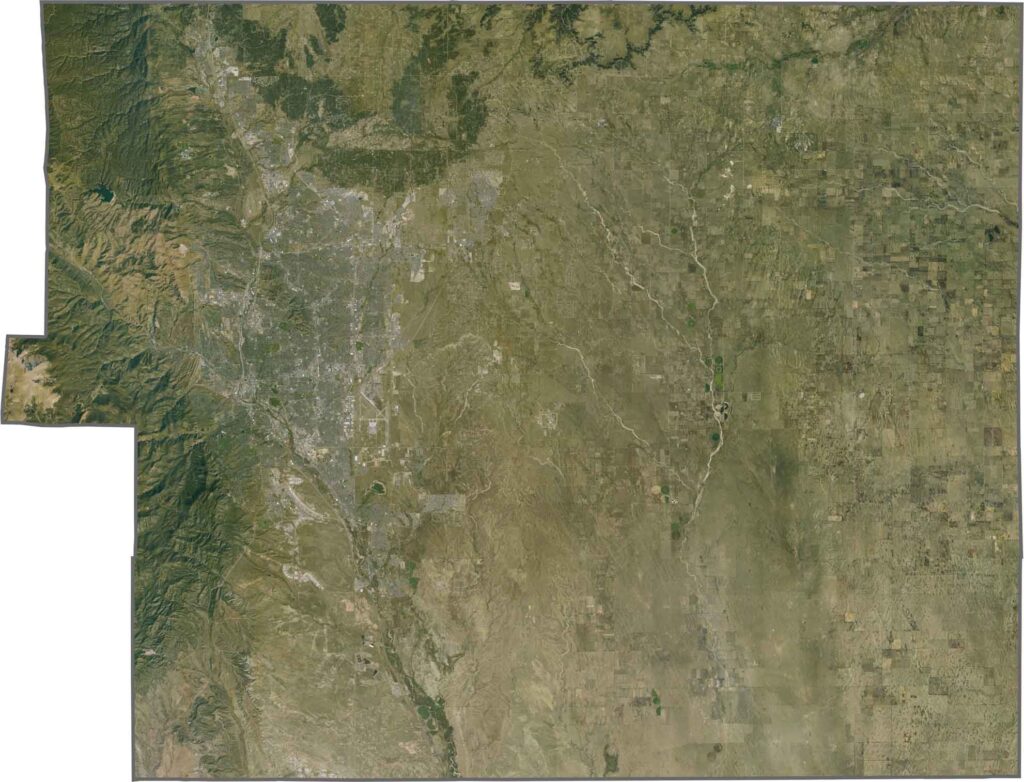
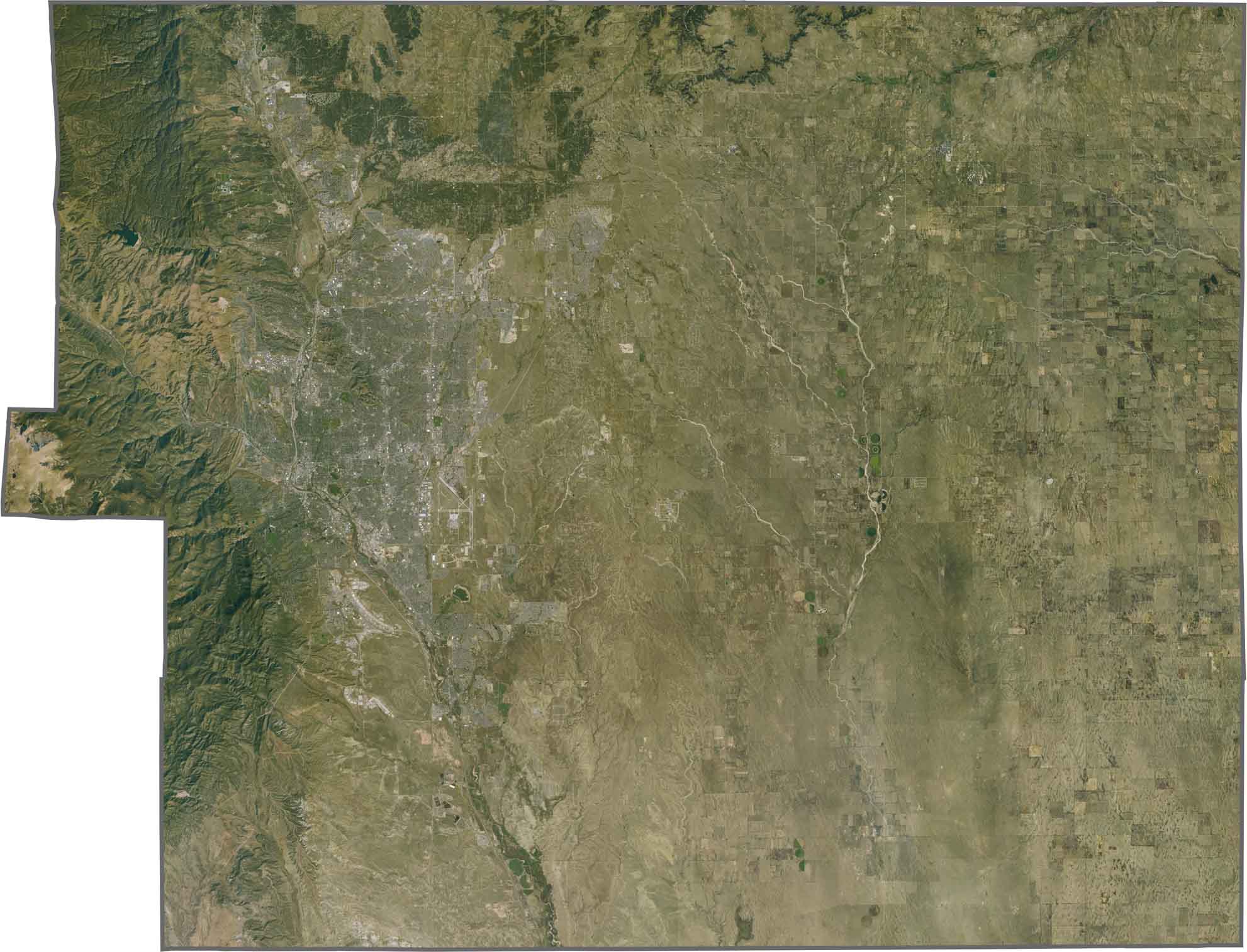
This satellite map shows Pikes Peak rising dramatically from the surrounding plains. Geometric patterns across the eastern farmlands contrast with the rugged, forested terrain of the western mountains.
This blank map outlines El Paso County, with relatively straight boundaries across the eastern plains and the Rocky Mountain foothills along the western side. Located north of Pueblo County, the county includes Colorado Springs and extends from the plains into the mountains.








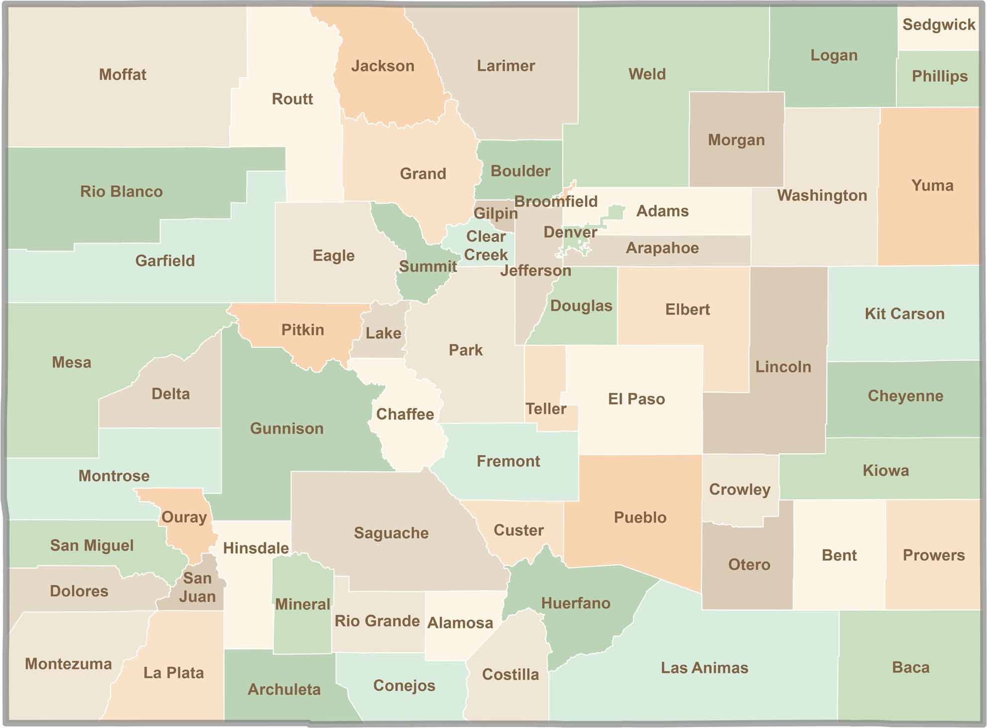
Think you know all 64 counties in Colorado? Our Colorado County Map brings them all together in one place, from the towering Rocky Mountains to the expansive eastern plains. Explore the Centennial State county by county and discover the diverse regions that make Colorado unique.