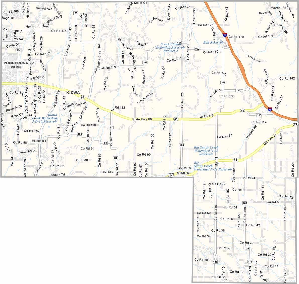
Elbert County Map Download Colorado – Outline Map and Blank Map

Elbert County Map Download Colorado – Outline Map and Blank Map

Elbert County, Colorado

Elbert County is located on Colorado’s eastern plains, just southeast of Denver. The county is largely rural, with rolling grasslands, open spaces, and scattered ranches. Kiowa serves as the county seat and remains a small community.

The county has experienced growth as the Denver metropolitan area expands, with new residential developments appearing across the region. Ranching remains an important part of local life, with horses and cattle common throughout the countryside.

Elbert County has a strong Western and cowboy culture, giving the area a distinct rural character despite its proximity to Denver. With a population of around 28,000 and continued growth, the county offers wide-open landscapes and views of the Rocky Mountains to the west on clear days.


Printable Stone County Missouri location map showing county location and boundaries
CategoryDetails
County NameElbert County
County SeatKiowa
EtymologyNamed after Samuel Elbert, a governor of the Colorado Territory
Cities, Towns, and CommunitiesKiowa, Elizabeth, Elbert, Simla, Agate
Interstates and HighwaysState Highway 86, State Highway 83, State Highway 40
FIPS Code08-039
Total Area4,678 sq mi (land), 0.2 sq mi (water)
Adjacent CountiesArapahoe County (North), Lincoln County (East), El Paso County (South), Douglas County (West)
Time ZoneMountain Time Zone (MT)
StateColorado
Population28,000
Coordinates39.28° N, 104.17° W
Major LandmarksCherry Creek Regional Park, Elbert County Fairgrounds
Scroll to Top