
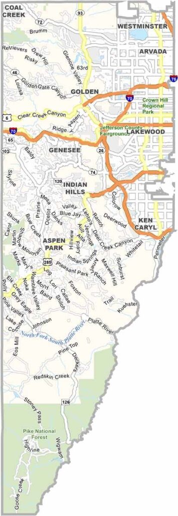
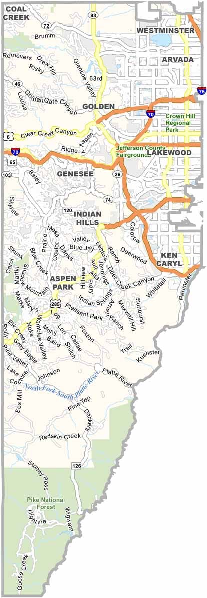
Jefferson County sits just west of Denver, where the plains meet the foothills. With a population of more than 580,000 people, it is one of the larger counties in Colorado and continues to grow.
Golden serves as the county seat and is home to the Coors brewery. Red Rocks Park is another major attraction, famous for its dramatic amphitheater, hiking trails, and scenic surroundings.
The county stretches from the edges of the Denver metro area into the mountain peaks. Government jobs are an important part of the local economy, along with a strong outdoor recreation industry. Jefferson County also faces an ongoing balance between new development and preserving its remaining open spaces.
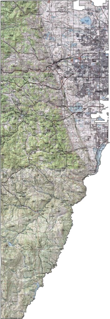
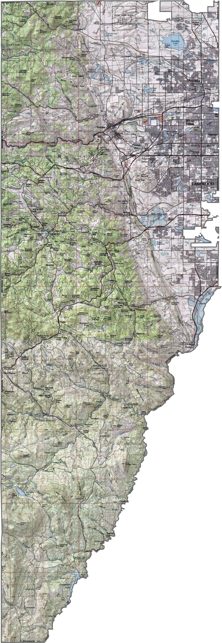
This topographic map highlights the contrast between the eastern foothills and western mountains. Red Rocks and other distinctive formations stand out clearly, while the zoom tool lets you examine the county’s steep elevation changes in greater detail.
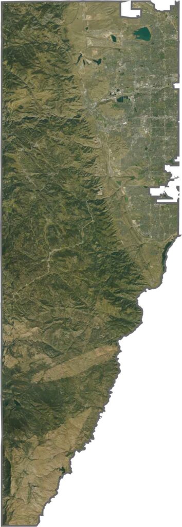
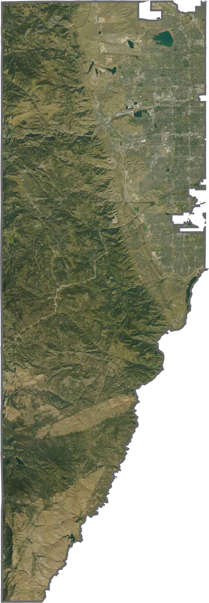
From above, you can see forests covering much of the mountainous western half, while development follows the valleys. The distinctive red formations of Red Rocks stand out against the surrounding greenery.
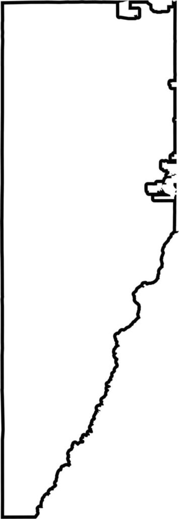
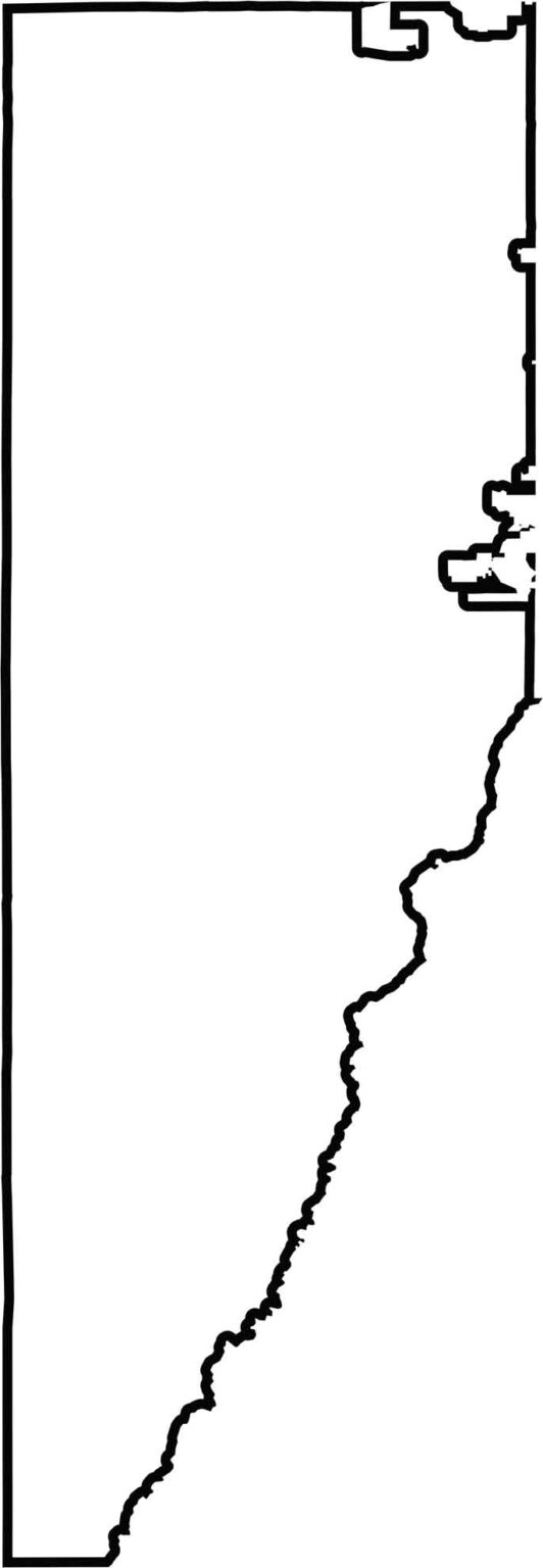
Jefferson County’s outline map follows the Front Range, with mountains along the western side. The county lies directly west of Denver and has a north-south orientation.






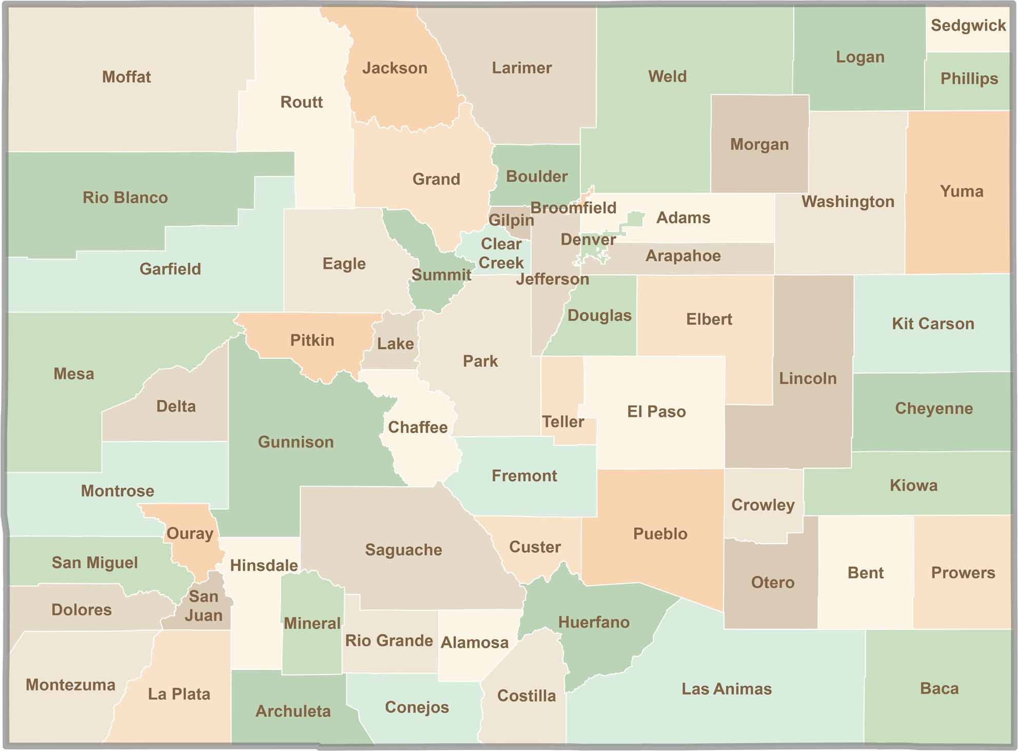
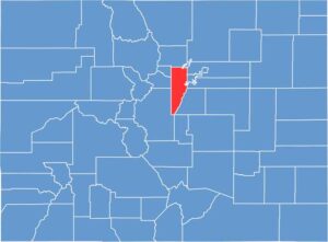
Think you know all 64 counties in Colorado? Our Colorado County Map brings them all together in one place, from the towering Rocky Mountains to the expansive eastern plains. Explore the Centennial State county by county and discover the diverse regions that make Colorado unique.