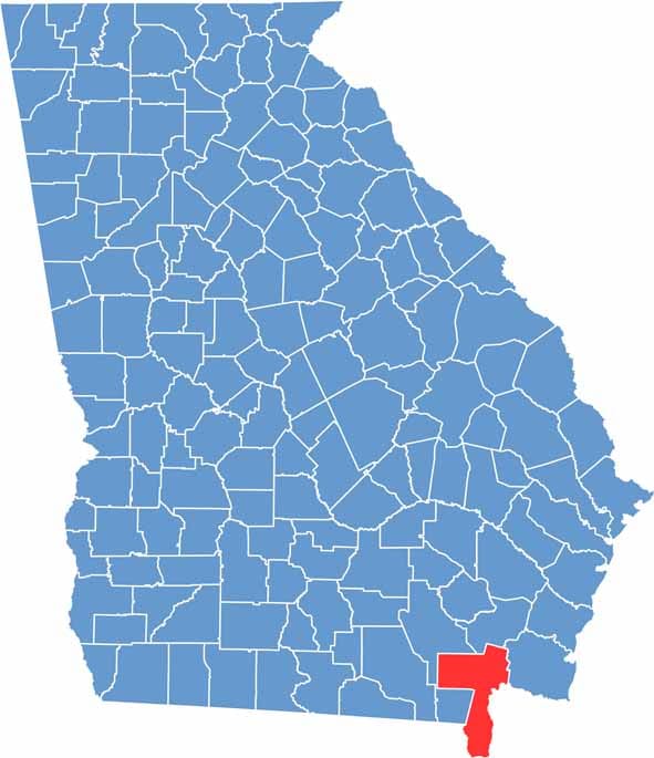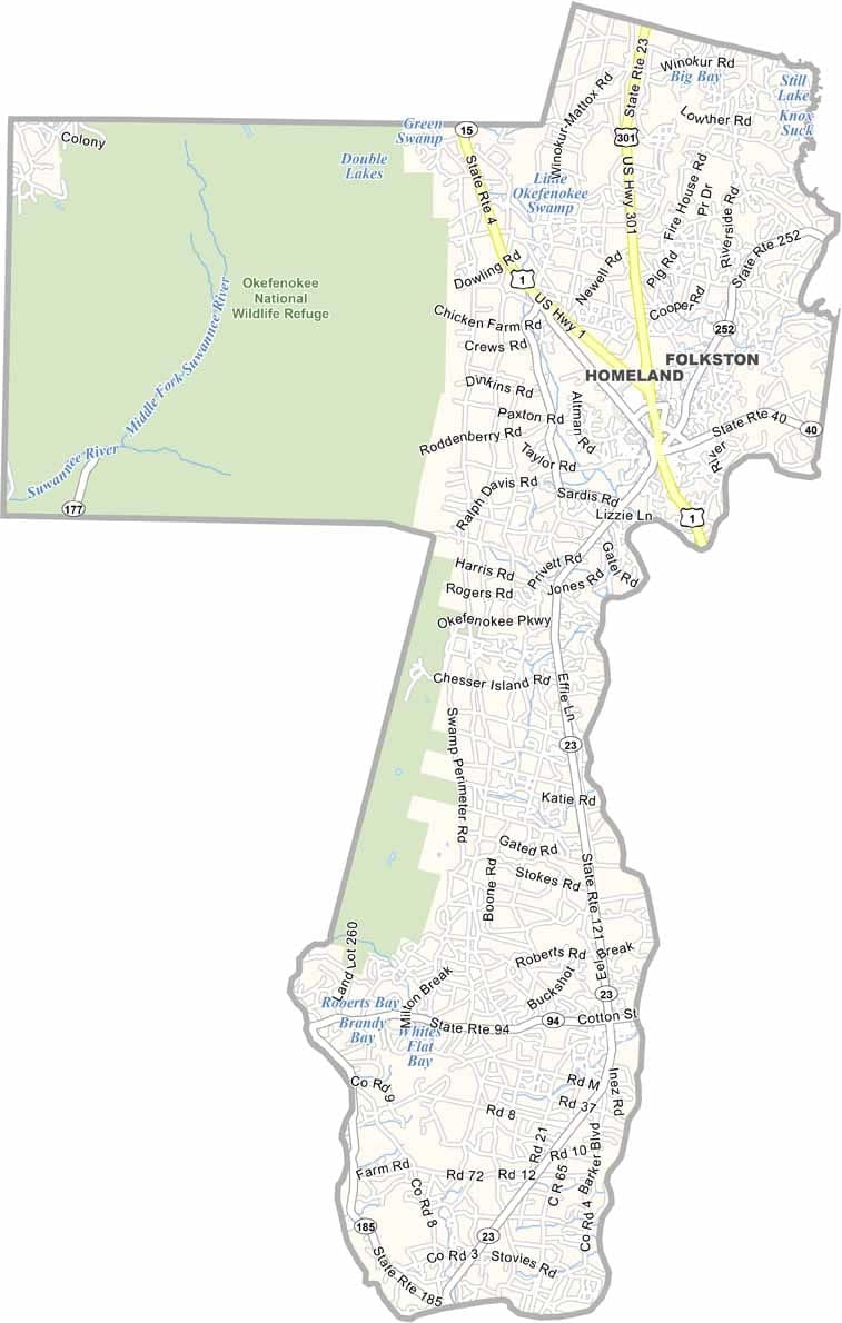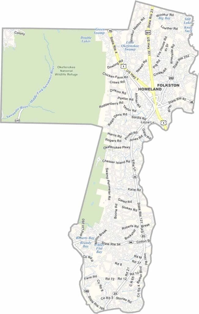
Charlton County is one of Georgia’s southernmost counties, stretching along the Florida border. Much of the county is occupied by the Okefenokee National Wildlife Refuge, a vast wilderness that attracts visitors interested in wildlife, birdwatching, and outdoor recreation.
Folkston serves as the county seat and is widely known as the “Train-Watching Capital of the World” because of the frequent rail traffic that passes through the area. The county was named after Robert Charlton, a former U.S. Senator from Georgia.
Rural and heavily forested, Charlton County relies on timber, agriculture, and nature-based tourism as key parts of its economy. The St. Marys River forms part of the southern boundary, offering opportunities for fishing and boating. With its remote landscapes, abundant wildlife, and peaceful atmosphere, Charlton County remains one of Georgia’s most distinctive natural regions.