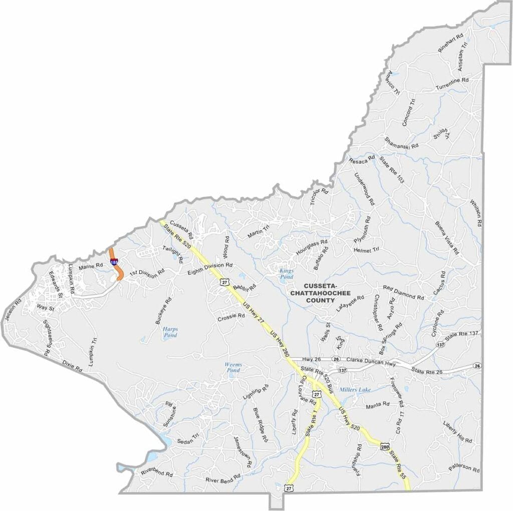
Chattahoochee County, Georgia

Chattahoochee County is one of Georgia’s smallest counties, located along the Alabama border. Cusseta serves as the county seat, while much of the county is occupied by Fort Benning, one of the largest military installations in the United States.

The presence of Fort Benning shapes nearly every aspect of life in the county. Military personnel, civilian employees, and their families make up a significant portion of the population, creating a community unlike most other rural counties in Georgia.

Chattahoochee County blends the traditions of rural Georgia with a strong military identity. Training exercises, military vehicles, and service members are a common part of daily life.
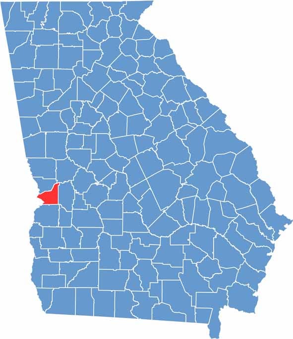

Chattahoochee County Location Map Georgia
Category Details
County Name Chattahoochee County
County Seat Cusseta
Cities, Towns, and Communities Cusseta, Fort Benning, Luthersville, and the unincorporated areas
Interstates and Highways US 27, US 280, State Route 26
Etymology Named for the Chattahoochee River, which forms the county’s eastern border
FIPS Code 13-053
Total Area (Land and Water) 249 square miles (land: 240 sq mi, water: 9 sq mi)
Time Zone Eastern Time Zone (ET)
State Georgia
Coordinates 32.3130° N, 84.8111° W
Major Landmarks Table Rock Lake, Talking Rocks Cavern, Silver Dollar City, Shepherd of the Hills Fish Hatchery
Adjacent Counties (and Direction) Muscogee County (North), Talbot County (Northeast), Marion County (East), Stewart County (South), Russell County, Alabama (West)
Population Approximately 13,000
Scroll to Top