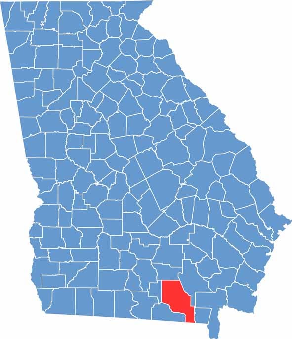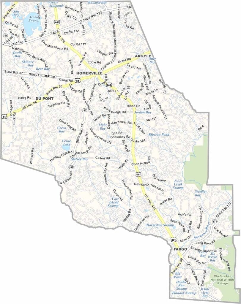
Clinch County is located in Georgia’s southeastern corner along the Florida border. Homerville serves as the county seat and sits near the junction of U.S. Highways 84 and 441. The county was named after General Duncan Lamont Clinch, a military leader known for his role in the Seminole Wars.
One of Georgia’s largest counties by land area, Clinch County is dominated by vast pine forests, wetlands, and natural landscapes. Much of the eastern portion is occupied by the Okefenokee Swamp, one of the most significant wilderness areas in the southeastern United States.
Known for its remote and peaceful character, Clinch County offers a glimpse into a more traditional side of rural Georgia. Its abundant natural resources, low population density, and strong connection to the outdoors make it a distinctive place where nature continues to shape everyday life.