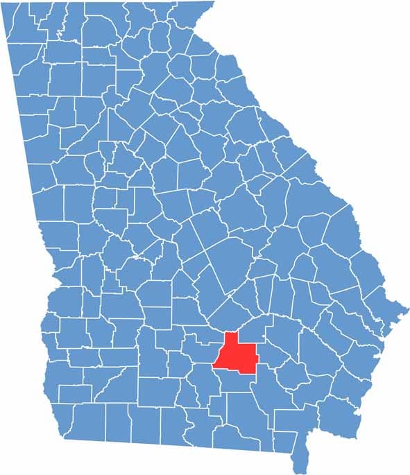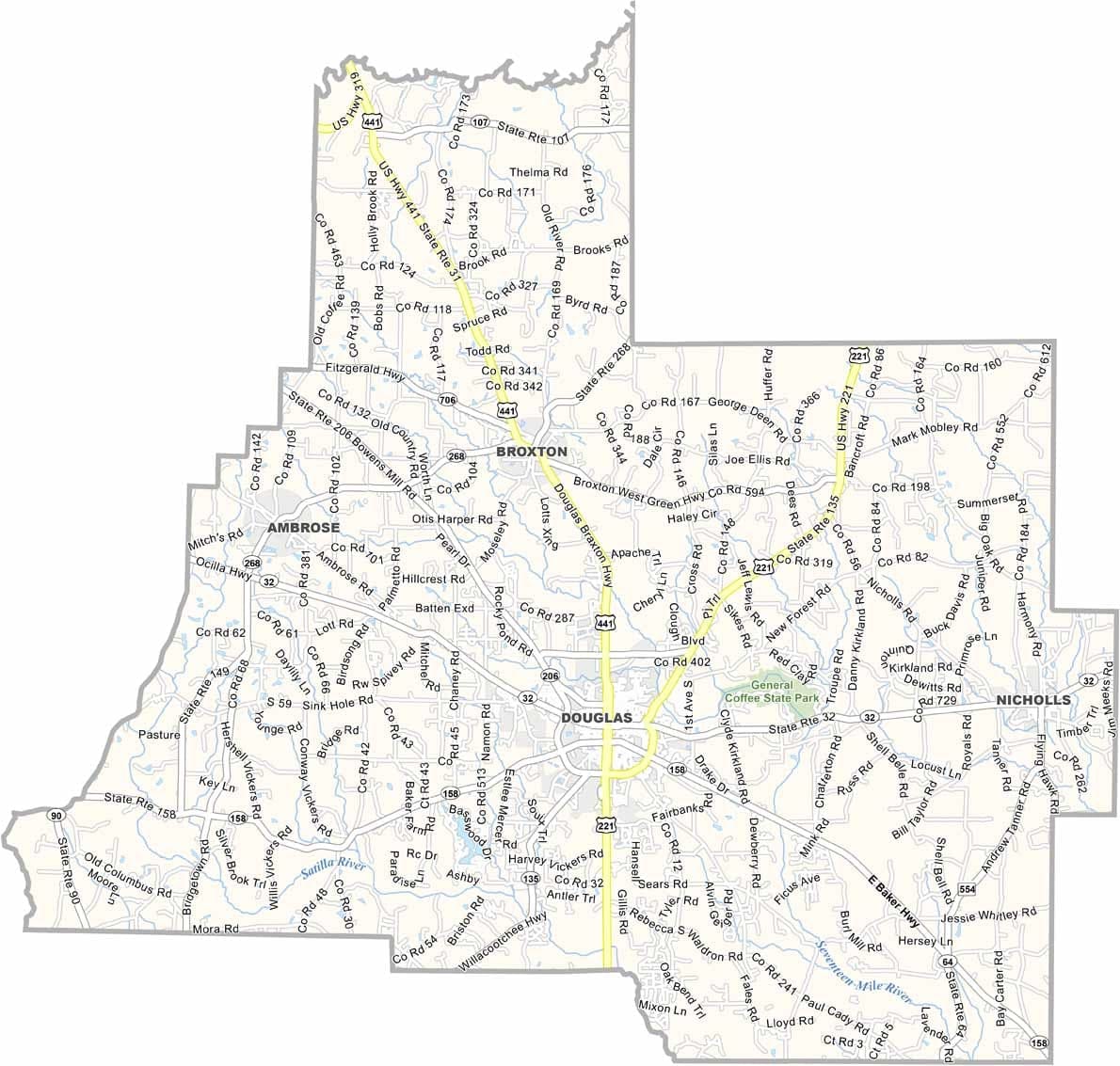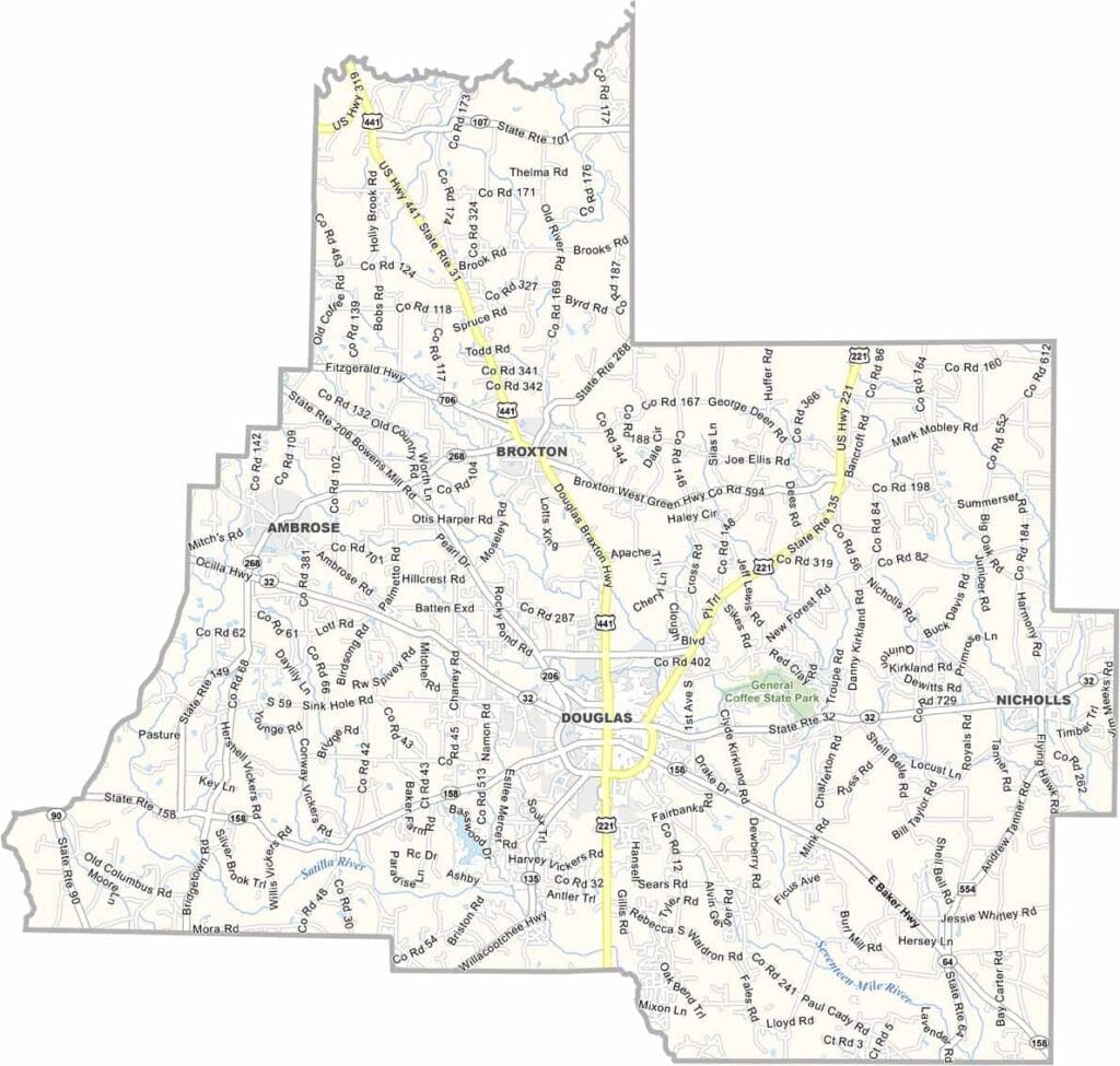
Coffee County is situated in south-central Georgia, with Douglas serving as the county seat and economic hub. The county was named after General John Coffee, a military officer who served during the War of 1812 and played an important role in the early history of the region.
Agriculture remains a driving force in the local economy, with tobacco, cotton, and peanuts among the county’s leading crops. South Georgia State College contributes to the community by bringing students and educational opportunities to Douglas. The Seventeen Mile River also flows through the county, adding to its natural scenery.
Coffee County is known for its strong rural traditions, close-knit communities, and warm Southern character. Long, hot summers are typical, while local pride is often centered around small-town values, community events, and high school sports. Together, these qualities make Coffee County a classic example of life in south Georgia.