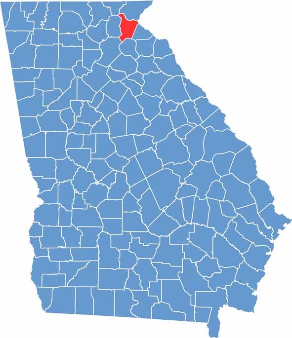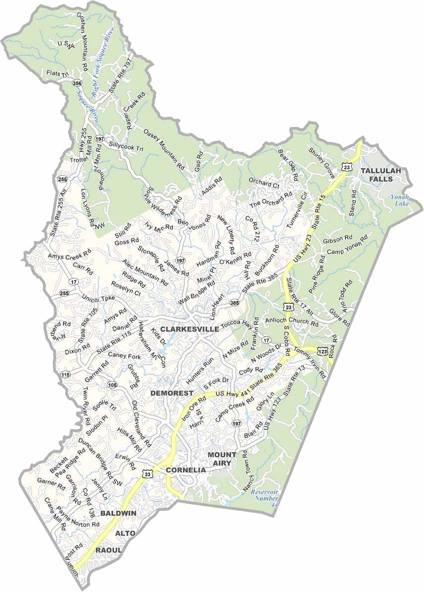
Habersham County is located in northeast Georgia at the foothills of the Blue Ridge Mountains. Clarkesville serves as the county seat, while Cornelia is widely recognized for its giant red apple monument, a symbol of the region’s long-standing apple-growing tradition.
The county features a blend of small towns, rolling farmland, and mountain scenery that creates a relaxed and welcoming atmosphere. Tallulah Gorge State Park, located along the county’s eastern edge, attracts visitors with its dramatic landscapes, hiking trails, and outdoor recreation opportunities.
Habersham County has a rich history, with numerous sites listed on the National Register of Historic Places. Its economy is supported by manufacturing, agriculture, tourism, and a growing wine industry. Local wineries, scenic mountain views, and historic communities continue to make Habersham County a popular destination in Northeast Georgia.