
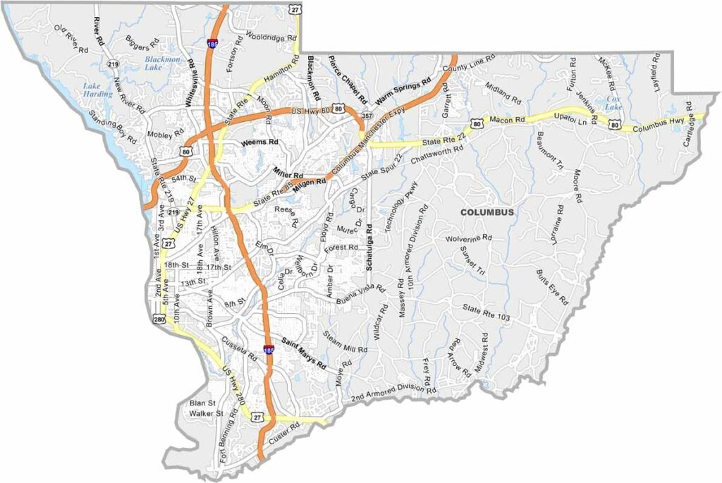
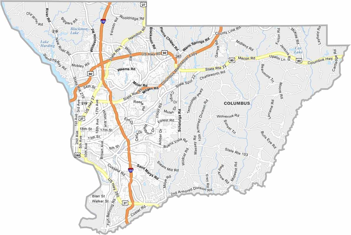
Muscogee County sits at the crossroads of Georgia’s Old South and New South, blending historic character with modern city life. Columbus, the county seat and Georgia’s third-largest city, stretches along the Alabama border and offers a lively downtown filled with shops, restaurants, and entertainment.
The area has deep historical roots, including Native American mounds and Civil War sites. The National Infantry Museum is another major attraction, offering visitors a detailed and reflective look at American military history.
For outdoor adventure, Columbus’s urban whitewater course attracts thrill-seekers and is recognized as the longest urban whitewater course in the world. The annual Fountain City Classic also brings thousands of visitors to the area, adding to the county’s energetic atmosphere. With a mix of military uniforms, historic landmarks, and modern city culture, Muscogee County offers a distinctive blend of tradition and contemporary Georgia life.
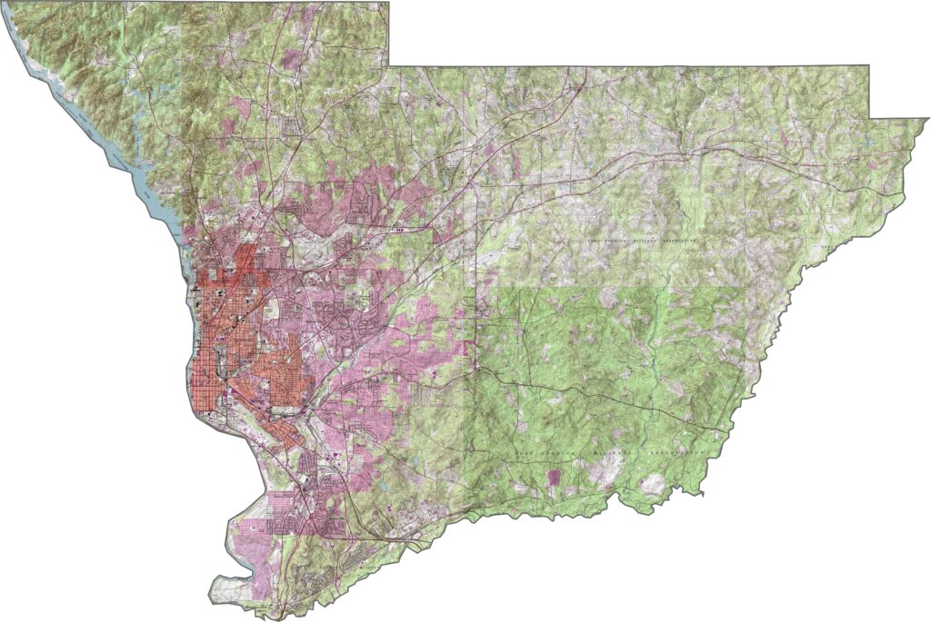
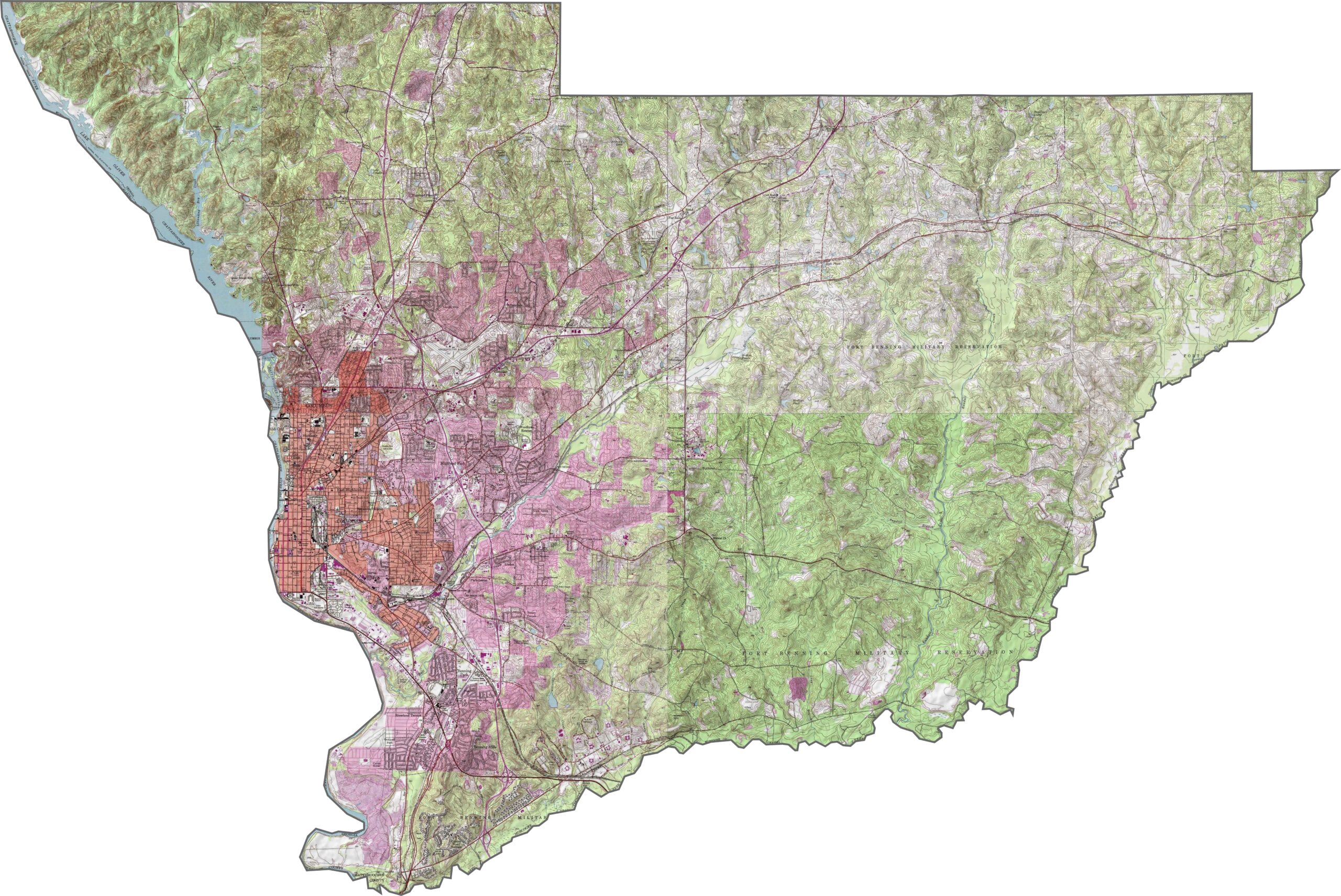
This Muscogee County topographic map highlights the county’s terrain, with the Chattahoochee River forming its western edge. Use our zoom tool to explore Columbus, Fort Moore, and major transportation routes such as I-185 across the county.
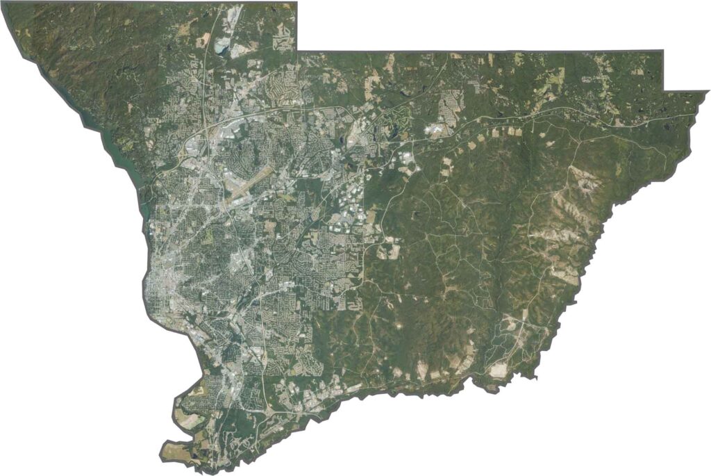
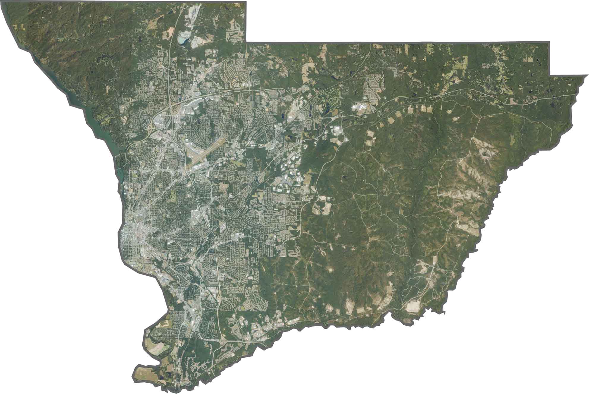
Our Muscogee County satellite map provides a detailed aerial view of the region. The western side features urban areas, dense neighborhoods, and parks, while the eastern portion remains more natural, with fewer residential developments and more open space.
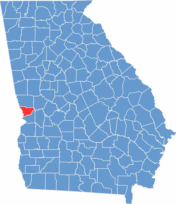
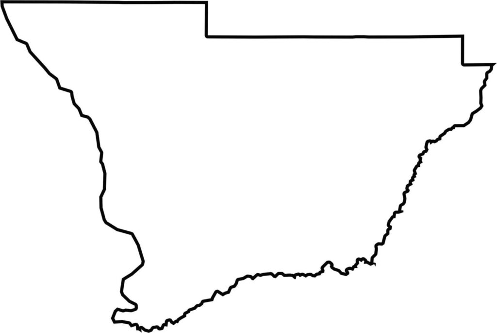
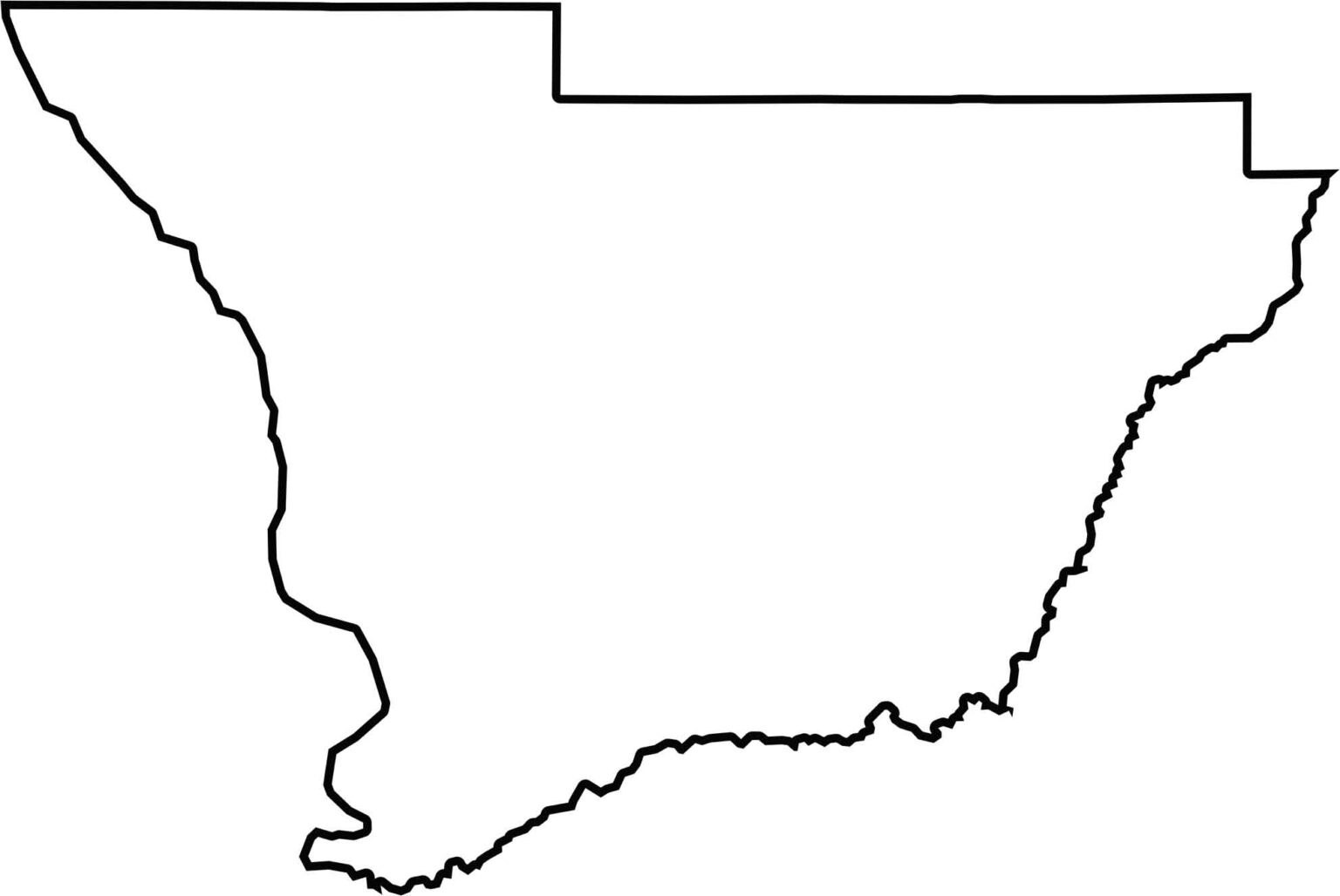
The Muscogee County outline map shows a distinctive triangular shape. Its northern boundary is relatively straight and borders Harris County, while the Chattahoochee River forms the western boundary with Alabama. Upatoi Creek helps define the eastern boundary with Chattahoochee County, Georgia.







Now available! Our Georgia county map highlights all 159 counties with exceptional detail and clarity. Whether you're exploring geography, planning a trip, or learning more about the Peach State, this comprehensive map is the resource you've been looking for. Discover Georgia like never before and explore every corner of the state.