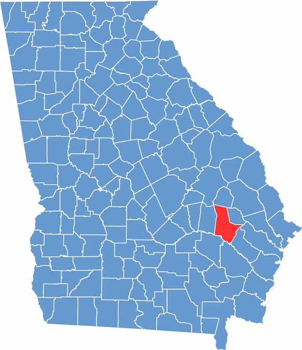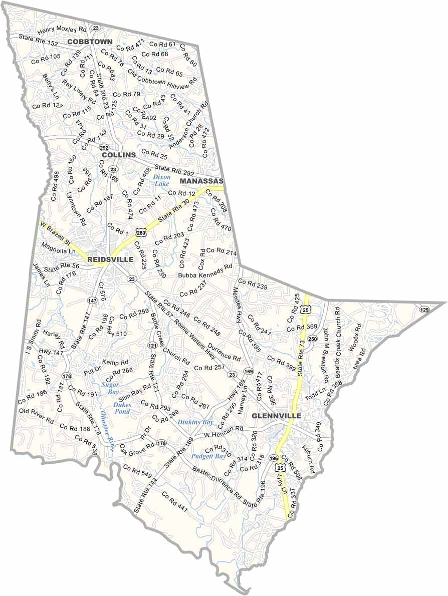
Tattnall County is located in southeastern Georgia and was established in 1801. Reidsville serves as the county seat, and the county is home to about 24,000 residents. Known for its rural character, Tattnall County has a long history rooted in agriculture and forestry.
The county is especially recognized for producing Vidalia onions, one of Georgia’s most famous agricultural products. The Ohoopee River offers opportunities for fishing, paddling, and other outdoor recreation, while Big Hammock Wildlife Management Area is a popular destination for hunting and wildlife enthusiasts.
Agriculture remains the backbone of the local economy, with farming continuing to shape the county’s landscape and traditions. Each year, the Glennville Sweet Onion Festival celebrates this heritage with parades, live entertainment, local food, and family-friendly events, highlighting one of Tattnall County’s most iconic crops.