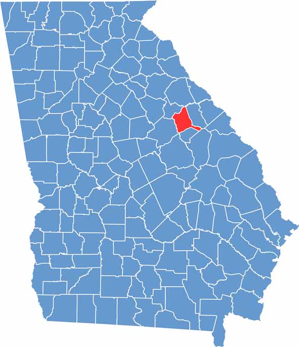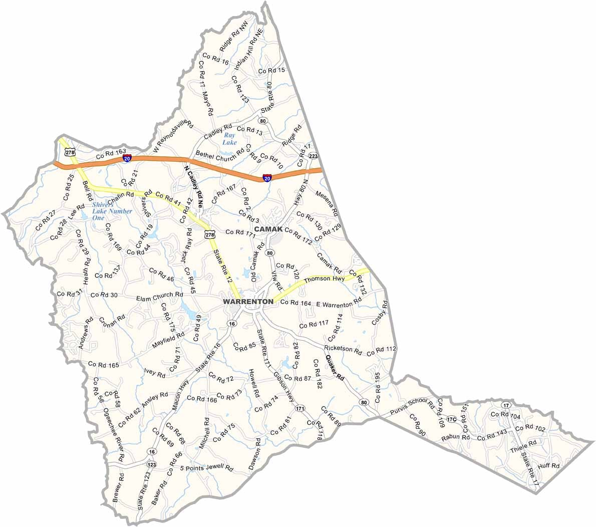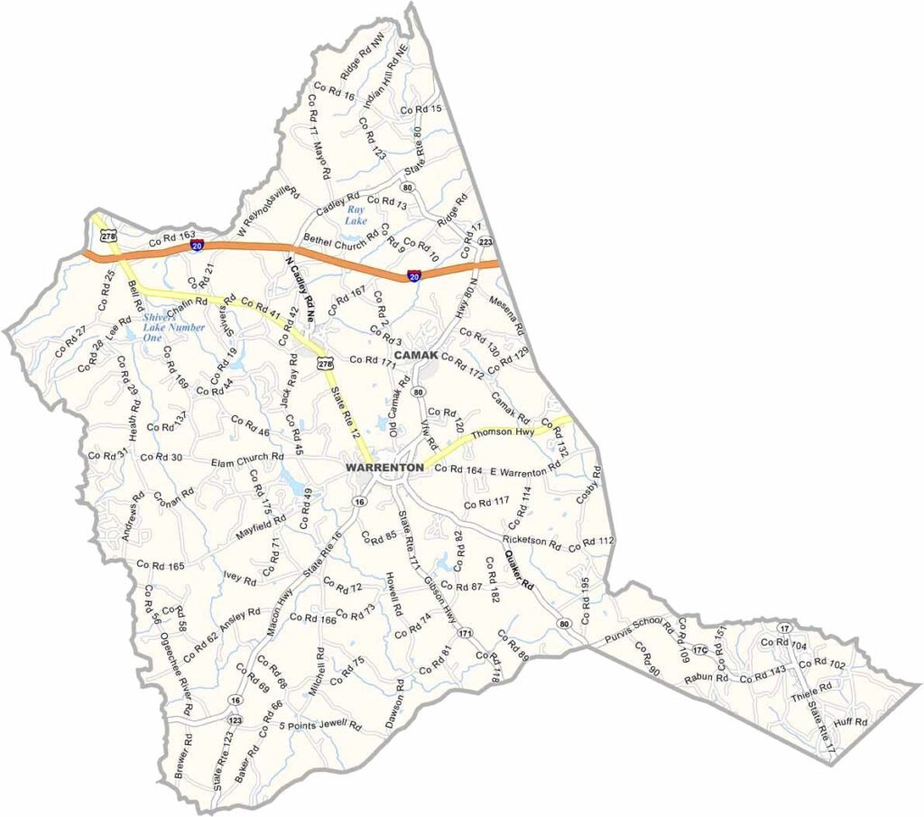
Warren County is located in eastern Georgia, roughly halfway between Augusta and Atlanta. Known for its peaceful rural setting, the county is centered around Warrenton, the county seat, which was named in honor of Revolutionary War hero Joseph Warren.
The Ogeechee River forms the county’s western border, providing opportunities for kayaking, fishing, and enjoying the area’s natural beauty. Warrenton’s historic Main Street serves as the heart of the community, while the annual Sportsman’s Festival brings residents and visitors together each fall for outdoor-themed events and local entertainment.
History is an important part of Warren County’s identity. The restored Old Jail Museum and the historic downtown district preserve the county’s heritage and offer a glimpse into its past. Though its population has declined over the years, Warren County continues to be known for its rich history, close-knit community, and quiet rural charm.