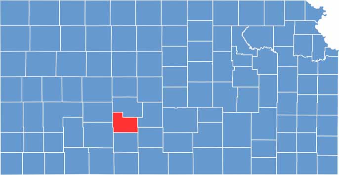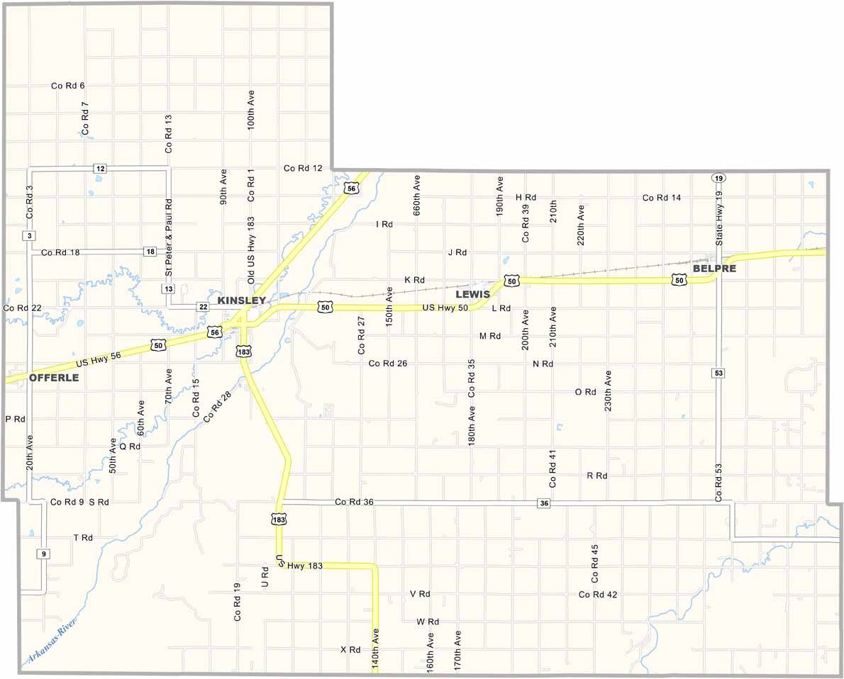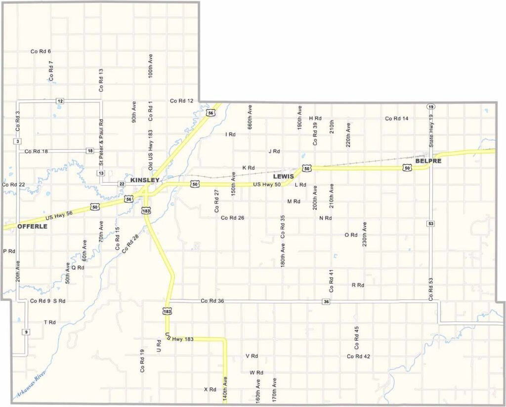
Edwards County stretches across south-central Kansas and is home to about 2,900 residents. Kinsley, the county seat, is known for its location roughly halfway between New York City and San Francisco, marked by a local sign celebrating the distinction.
The county has a strong agricultural heritage, with wheat and milo farming playing an important role in the local economy. During harvest season, combines can be seen working across the surrounding fields. Birding enthusiasts can also visit the nearby Quivira National Wildlife Refuge, located a short drive to the east.
Just outside the county, the Fort Larned National Historic Site offers an important glimpse into the region’s frontier history and is well worth visiting while exploring the area. U.S. Highway 50 and U.S. Highway 283 intersect in Kinsley, providing convenient access through this rural part of Kansas.