
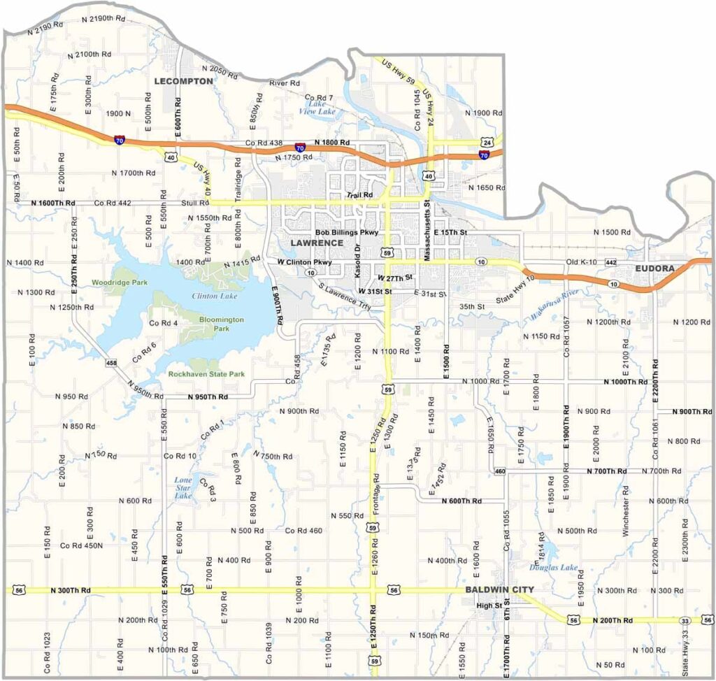
Douglas County is located in eastern Kansas and is home to about 120,000 residents. The county includes Lawrence, a vibrant community known for University of Kansas, which plays a major role in the area’s cultural and educational identity.
Massachusetts Street in Lawrence is a popular destination lined with local shops, restaurants, and entertainment. The Haskell Cultural Center also offers visitors an opportunity to learn more about Native American history and culture.
Each October, Baldwin City hosts the Maple Leaf Festival, bringing seasonal celebrations and small-town activities to the community. Visitors interested in film history can also see the farmhouse featured in the Superman movies just outside Lawrence, adding a touch of movie magic to the county’s attractions.
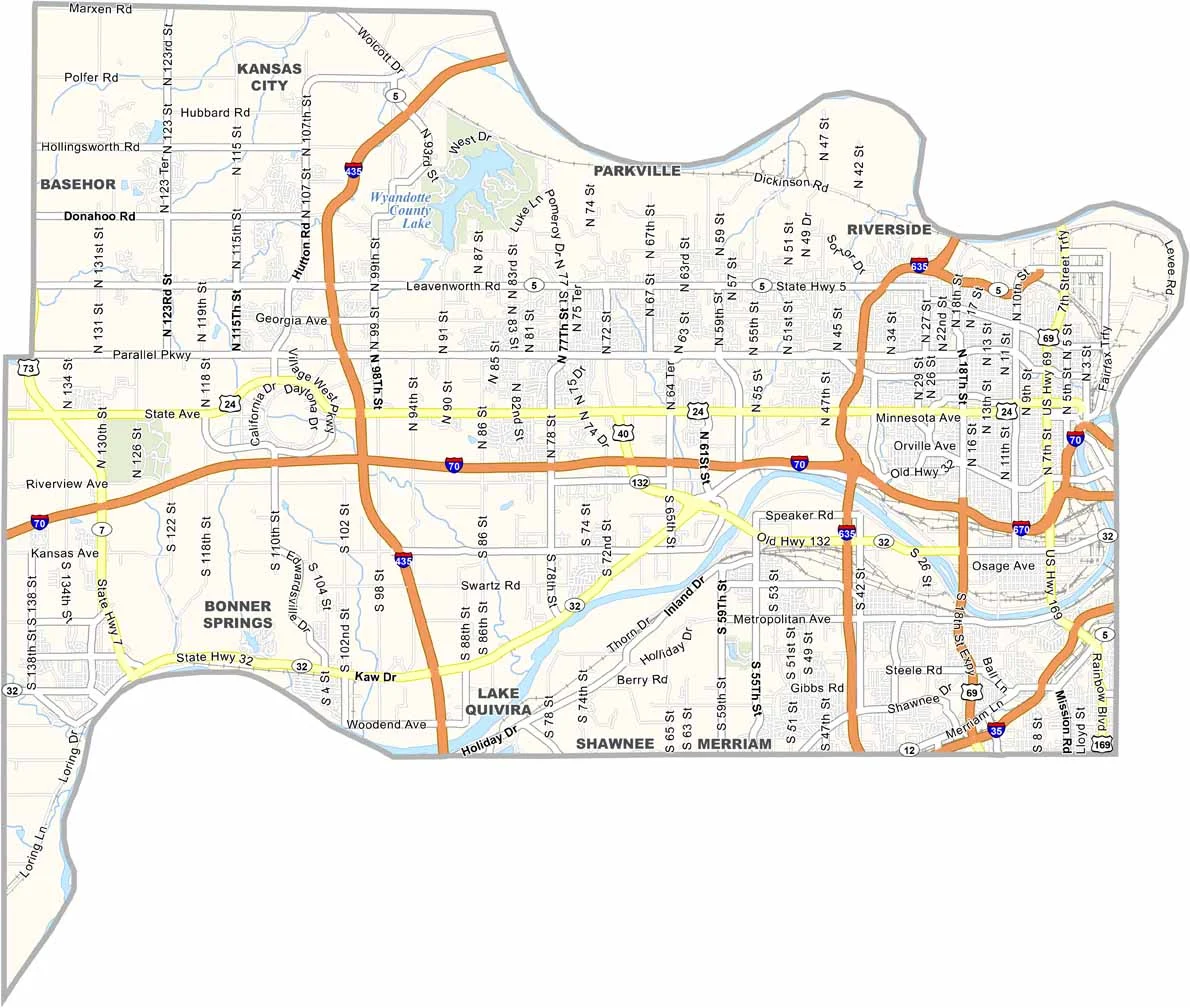
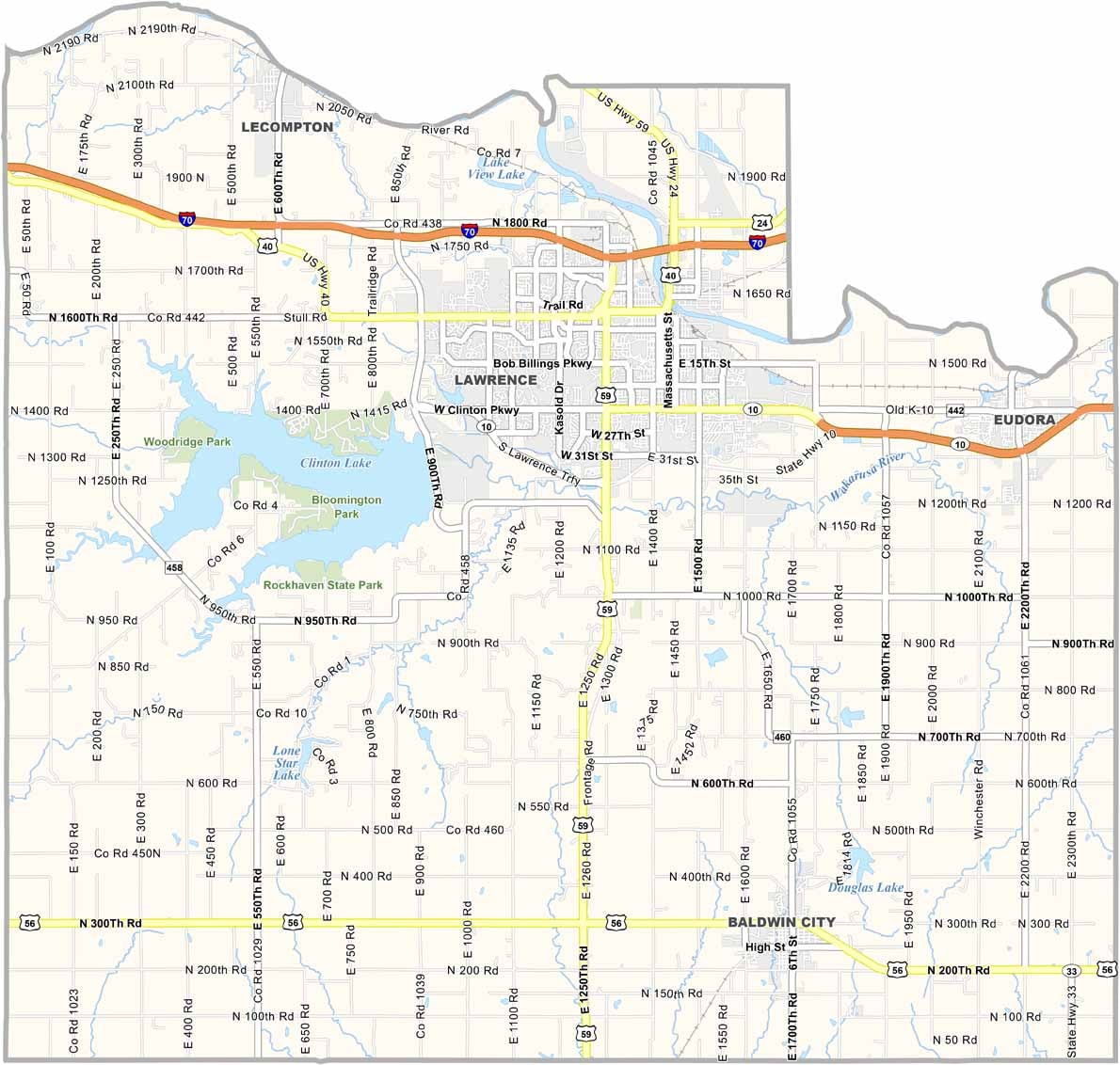
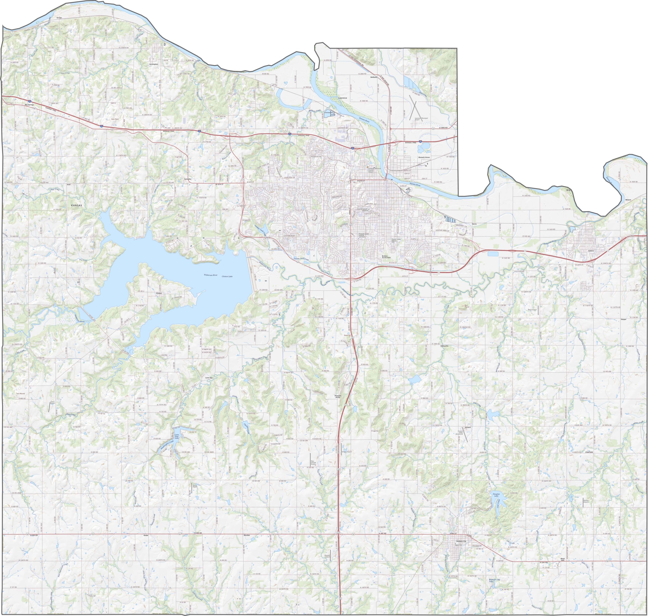
Douglas County features a mix of urban streets and rural roads, with U.S. Highway 59 and Interstate 70 serving as major transportation routes. Smaller county roads wind through the area’s rolling hills, while the roads around Lawrence can experience heavier traffic compared with the quieter routes in the surrounding countryside. Use our zoom tool to explore the county’s road network in greater detail.
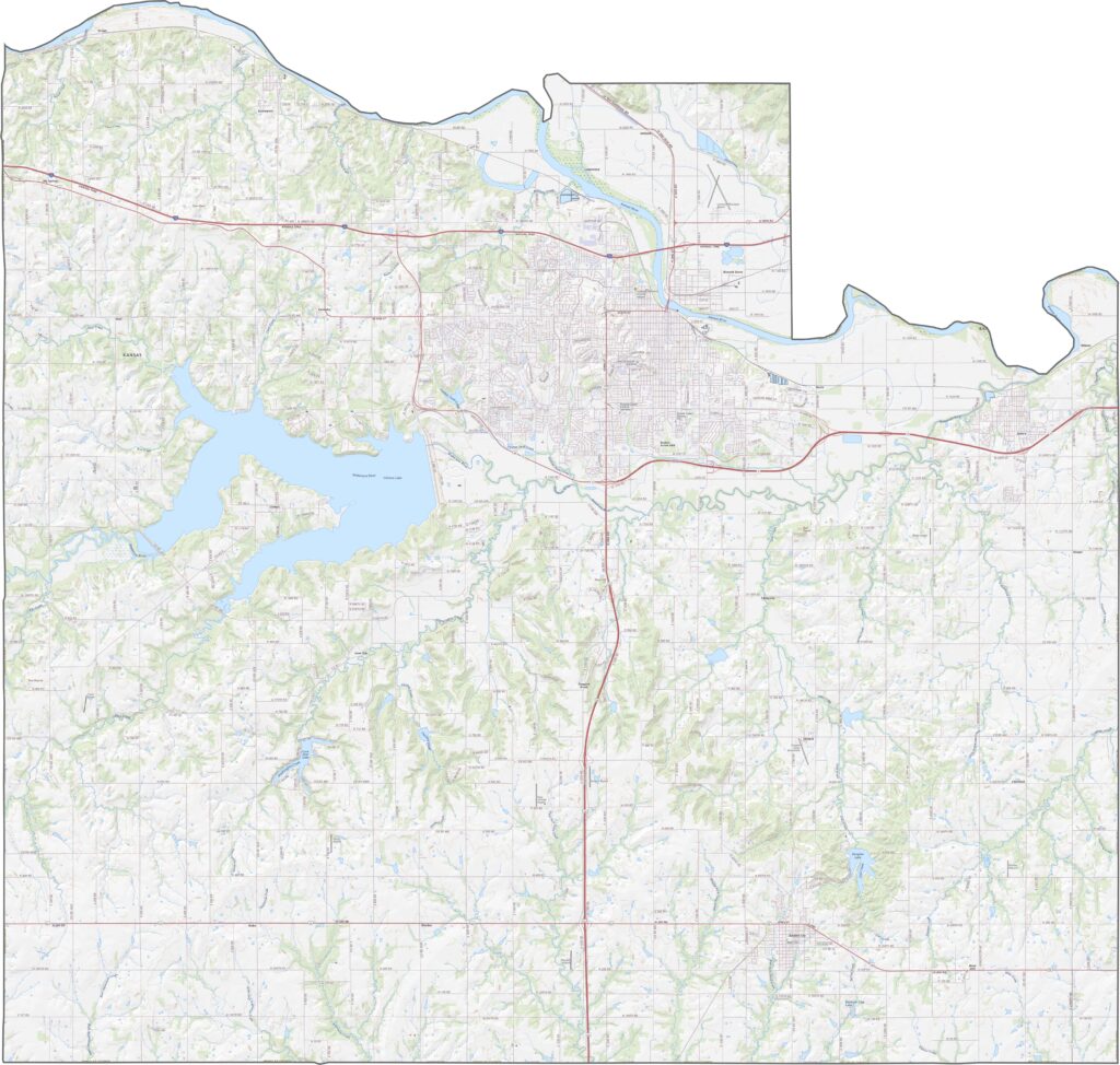
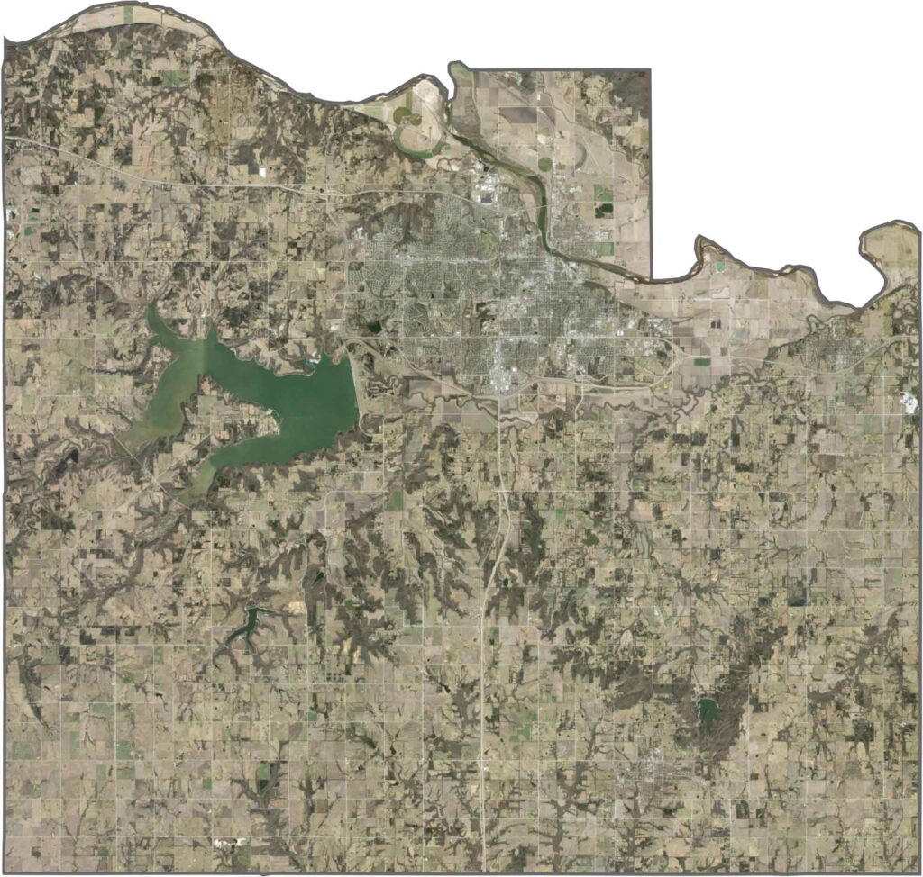
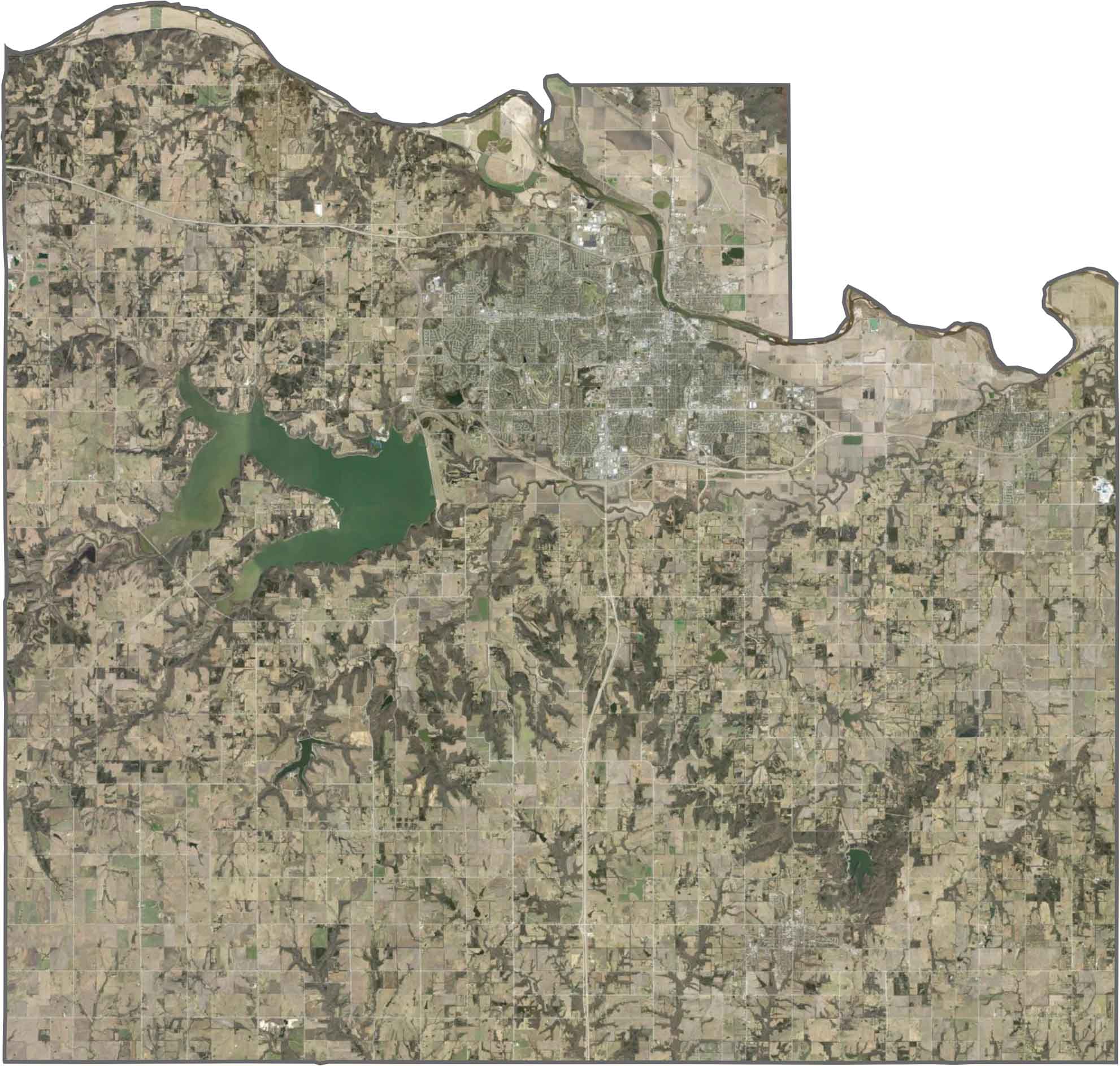
Lawrence stands out for its dense downtown area and the University of Kansas campus, while the Kansas River curves along the county’s northern side. Beyond the city, farmland spreads across the landscape in a patchwork of fields, interspersed with wooded hills and small lakes.
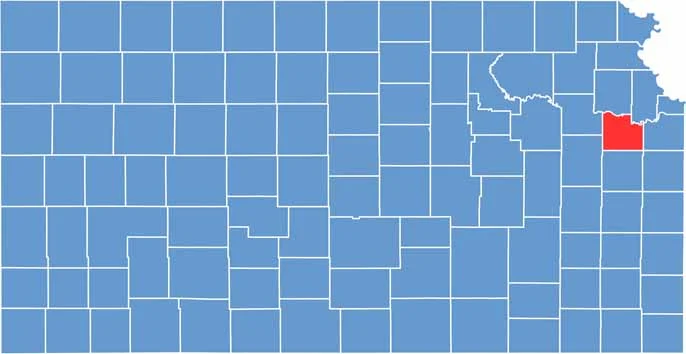
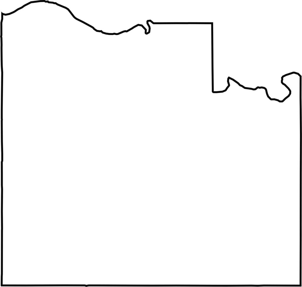
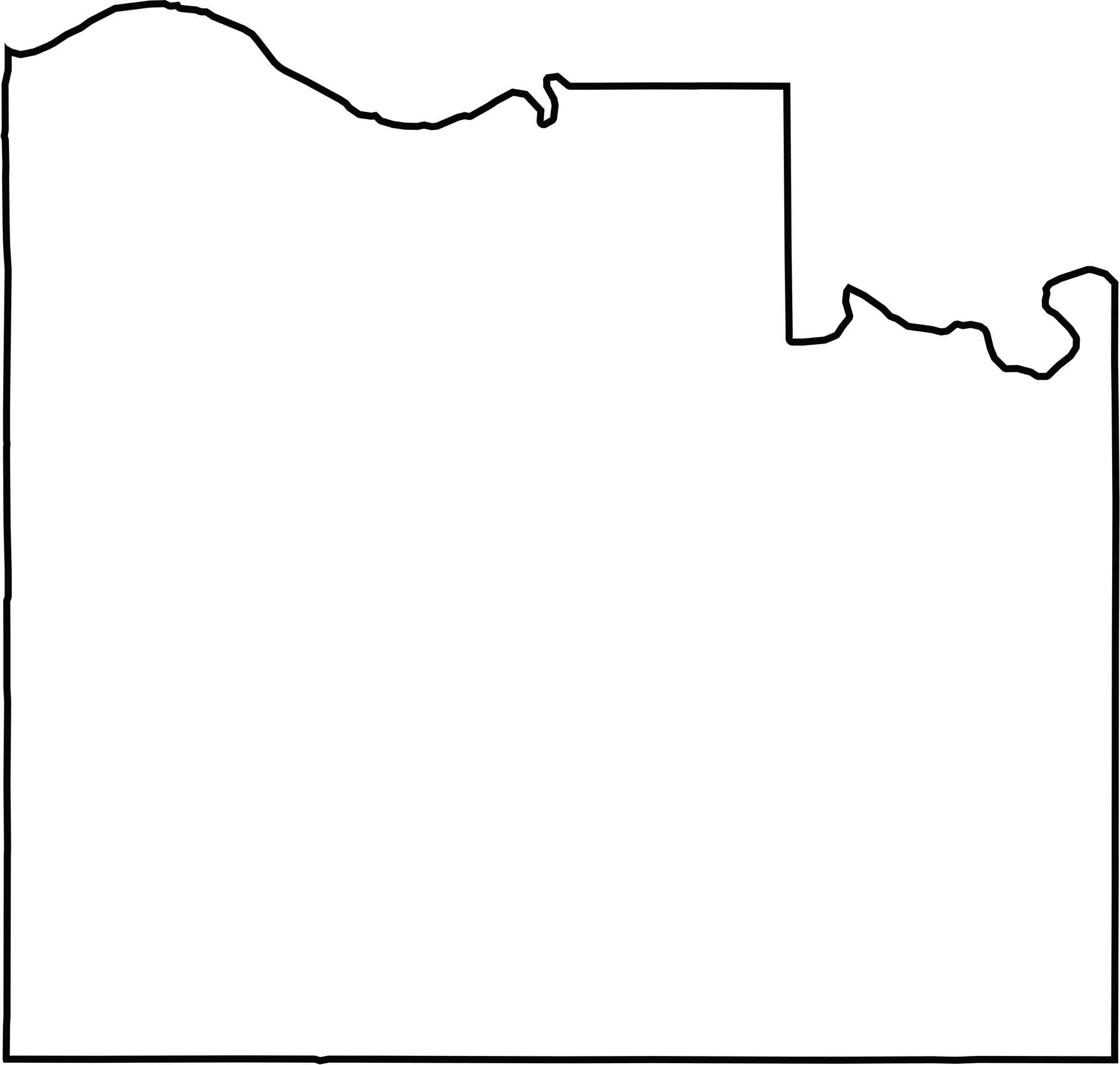
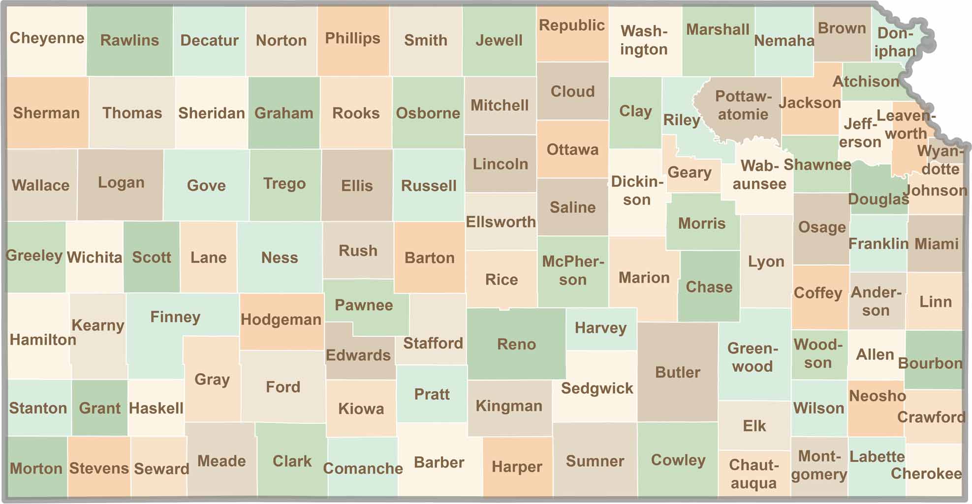
Douglas County has a generally rectangular shape, with the Kansas River forming part of its northern boundary. Located in northeastern Kansas, the county is surrounded by other Kansas counties and does not border another state.
Flat? Only to the distracted. In Kansas, the horizon isn’t the end—it’s the beginning. Slow down, listen closely, and discover the wide-open landscapes, hidden stories, and quiet charm that make the Sunflower State worth exploring. The middle of everything has plenty of stories to tell.