
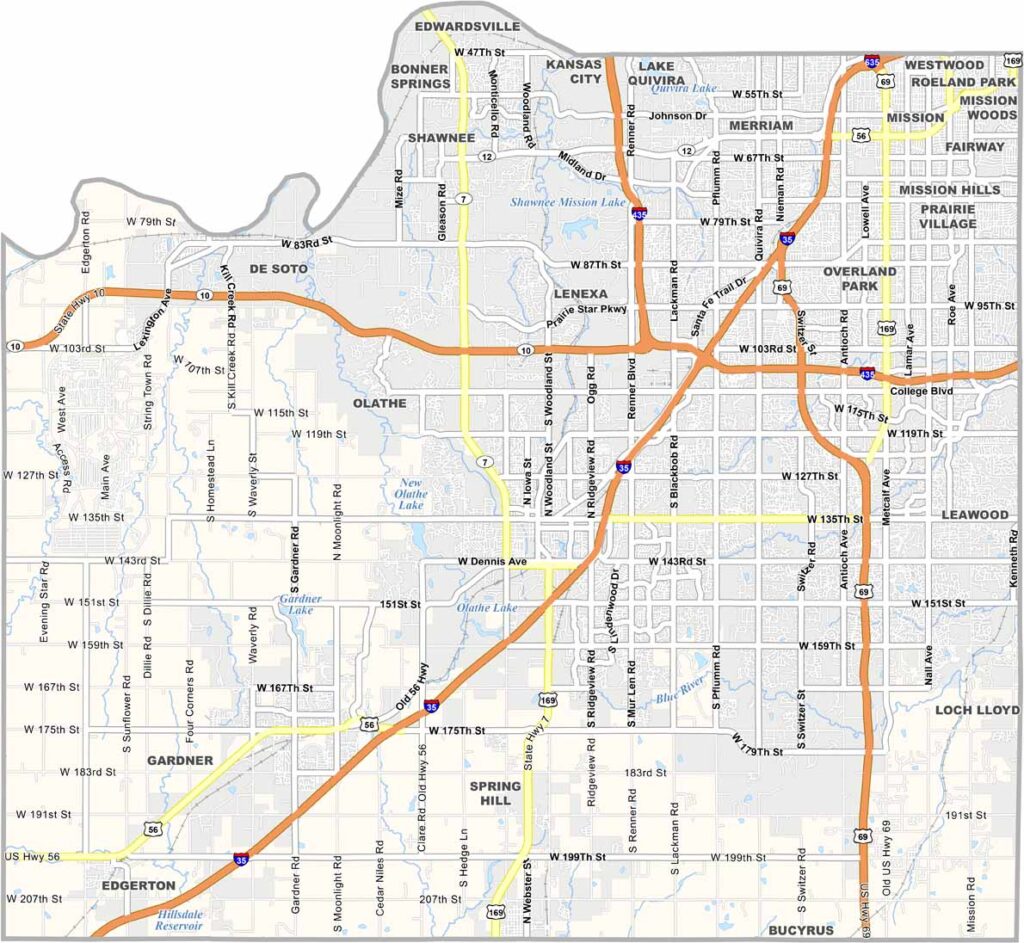
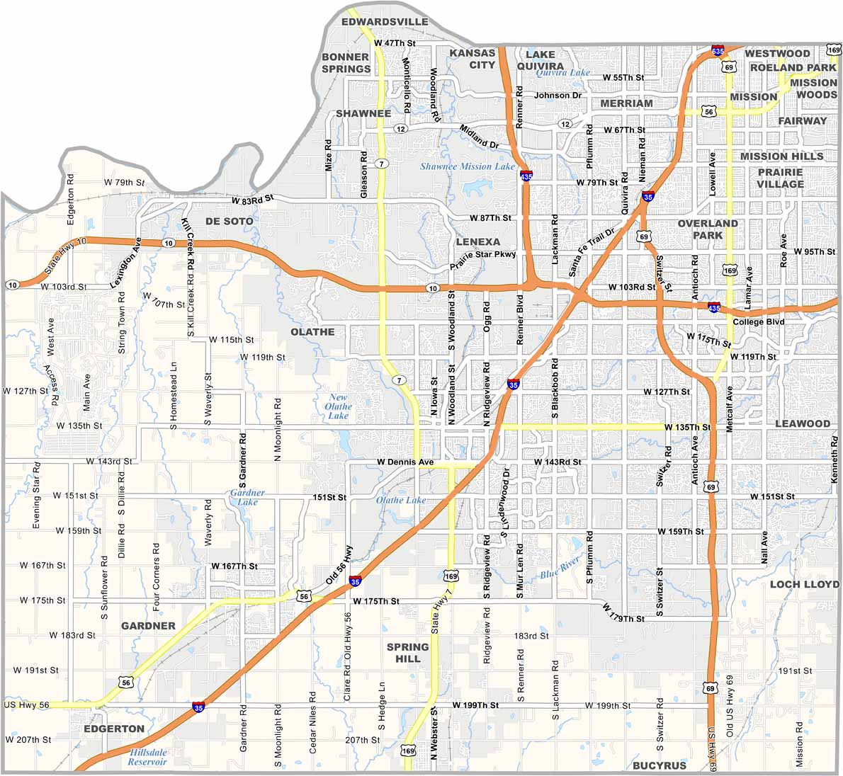
Johnson County is Kansas’ major suburban hub, sitting right next to the Kansas City metro area. Overland Park is the county’s largest city, and the area is known for its high household incomes and thriving communities.
The county is filled with well-kept neighborhoods, good schools, shopping centers, and modern amenities. But it’s not all upscale development—there are also older neighborhoods and more affordable areas that add variety to the community.
There’s always something happening here, from parks and trails to nearby cultural attractions like the Nelson-Atkins Museum of Art. As the most populous county in Kansas, with nearly 630,000 residents, Johnson County also deals with its share of busy traffic and congestion.
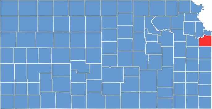
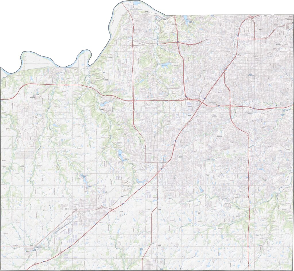
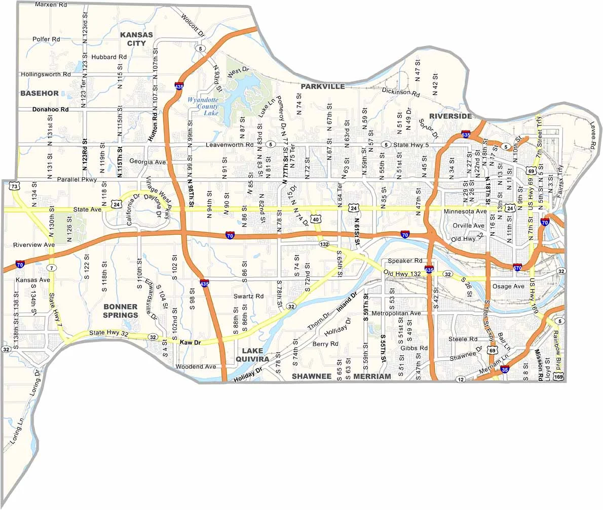
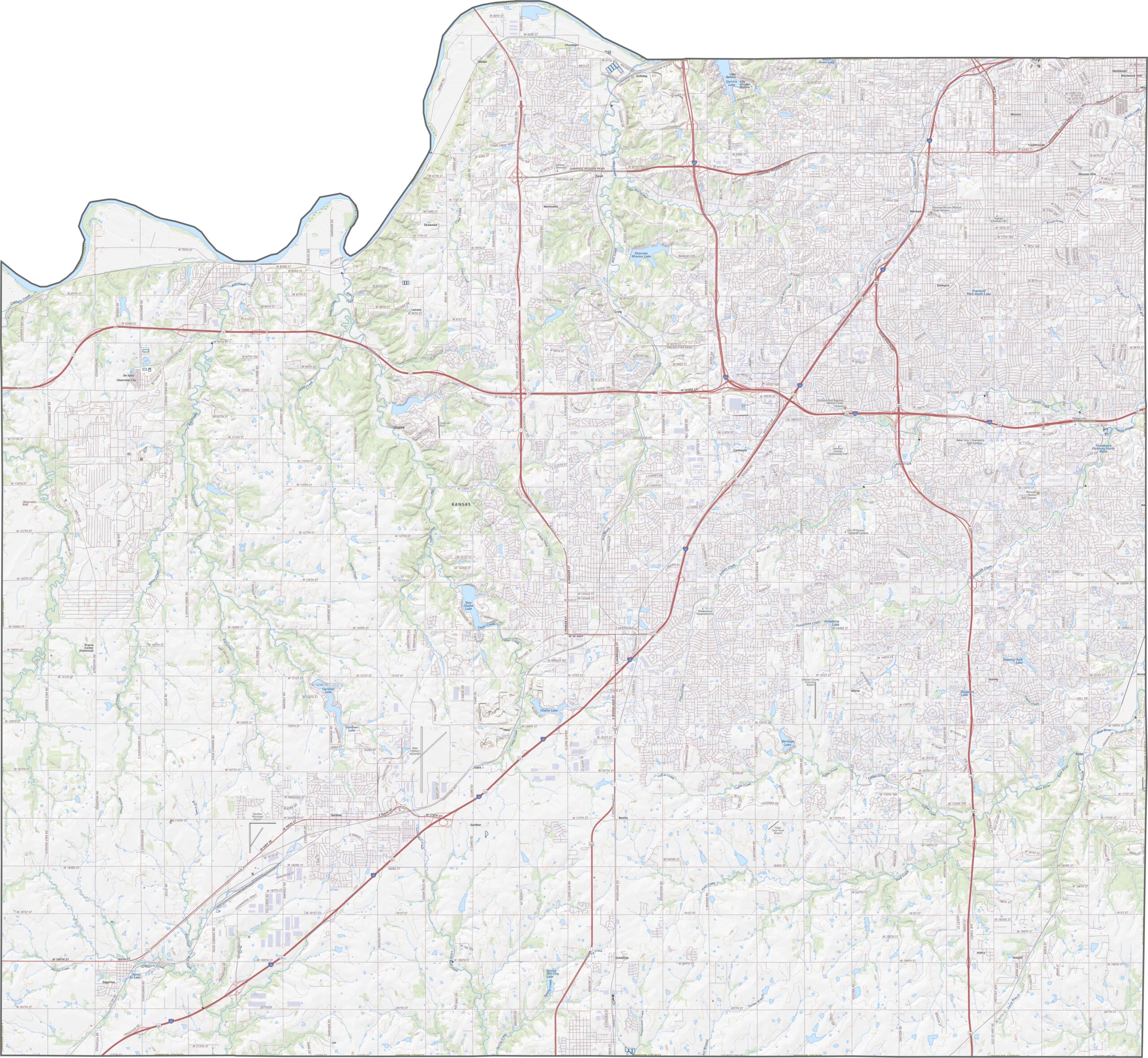
Johnson County has a dense network of well-maintained county roads. Most follow a straight, grid-like pattern, while some wind through the area’s natural terrain. U.S. 69 and I-35 are major routes, offering quick connections across the metro area. Use our zoom tool to explore the road network in greater detail.
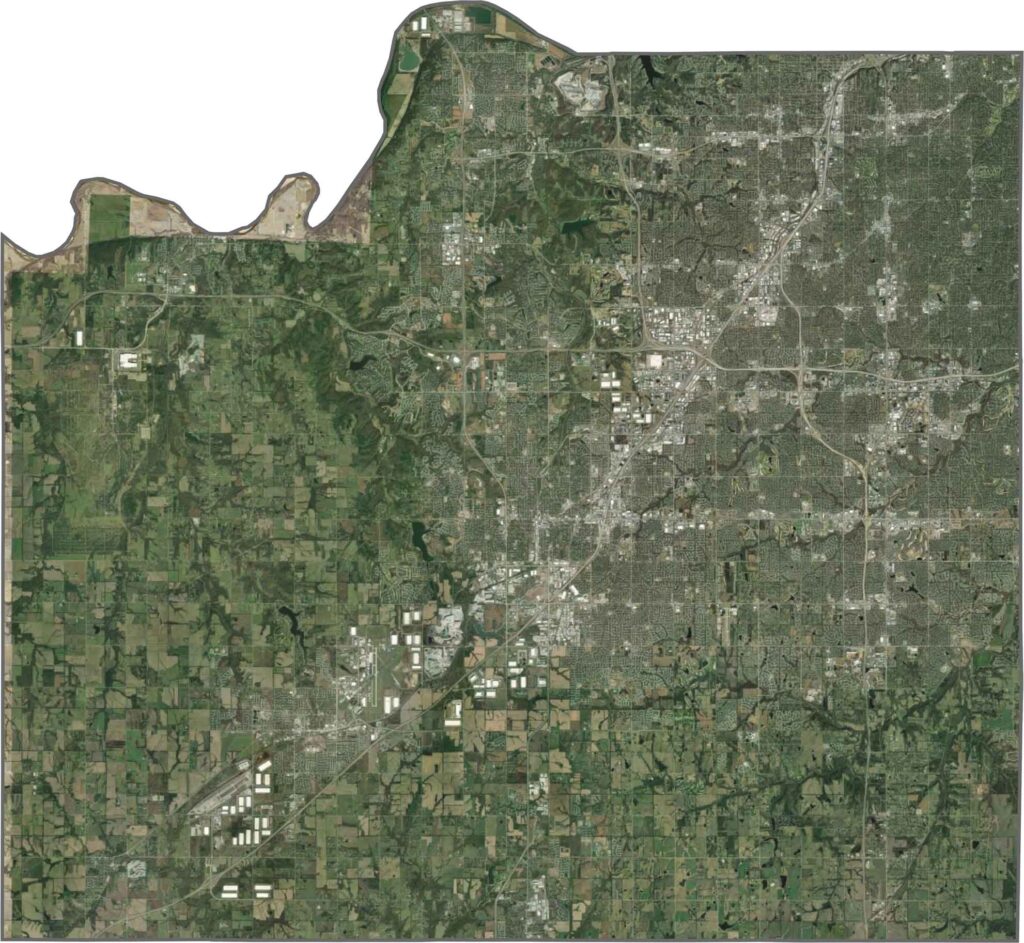
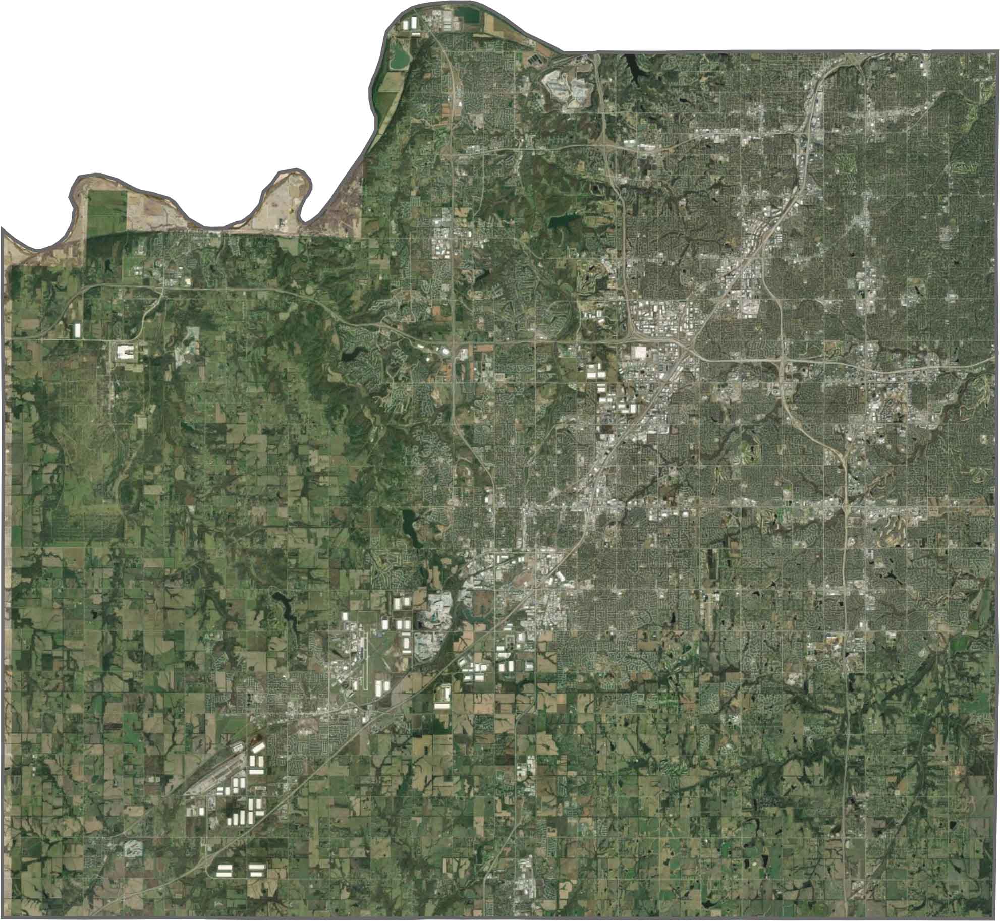
From above, Johnson County appears as a blend of suburban development and green spaces. Neighborhoods are arranged in orderly grids, while patches of woodland, parks, and open areas break up the surrounding development.
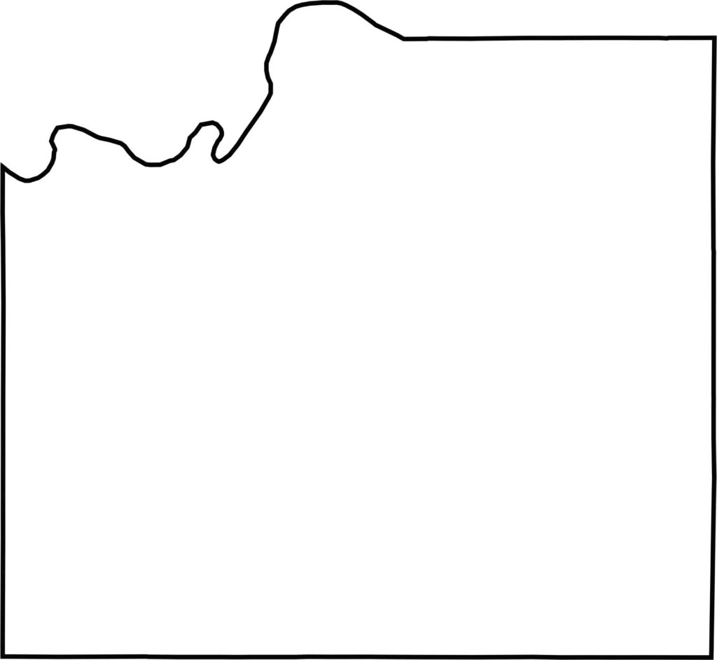
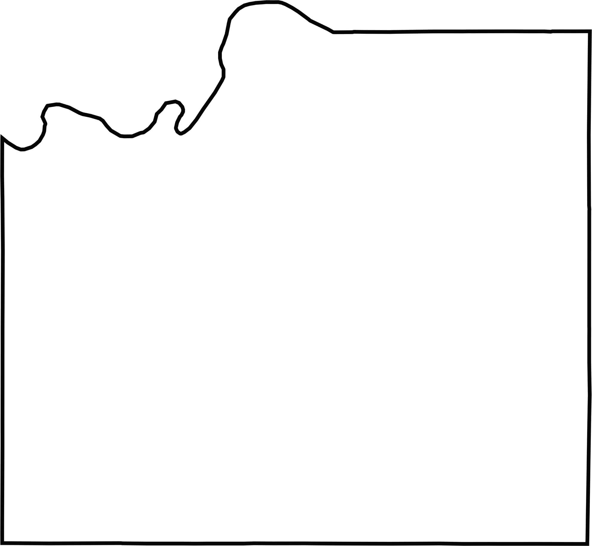
The county has a roughly rectangular shape, although its northern boundary dips in an uneven pattern. The Kansas River forms part of its northwest boundary, while the county reaches the Missouri state line along its eastern edge.
Flat? Only to the distracted. In Kansas, the horizon isn’t the end—it’s the beginning. Slow down, listen closely, and discover the wide-open landscapes, hidden stories, and quiet charm that make the Sunflower State worth exploring. The middle of everything has plenty of stories to tell.