
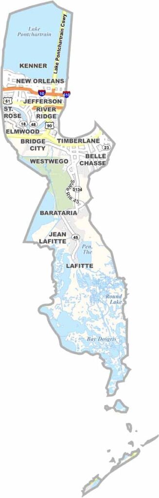
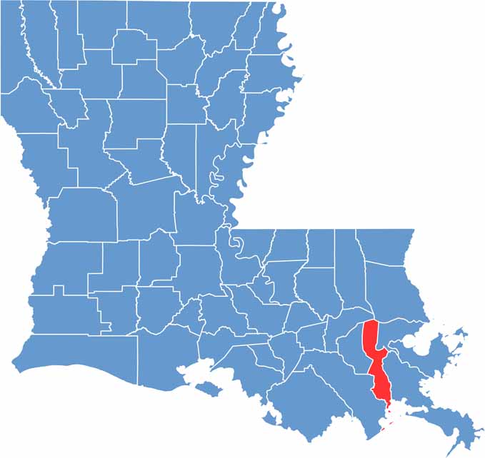
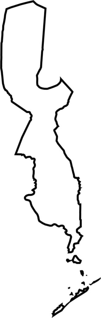
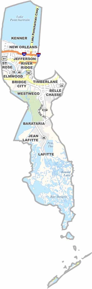
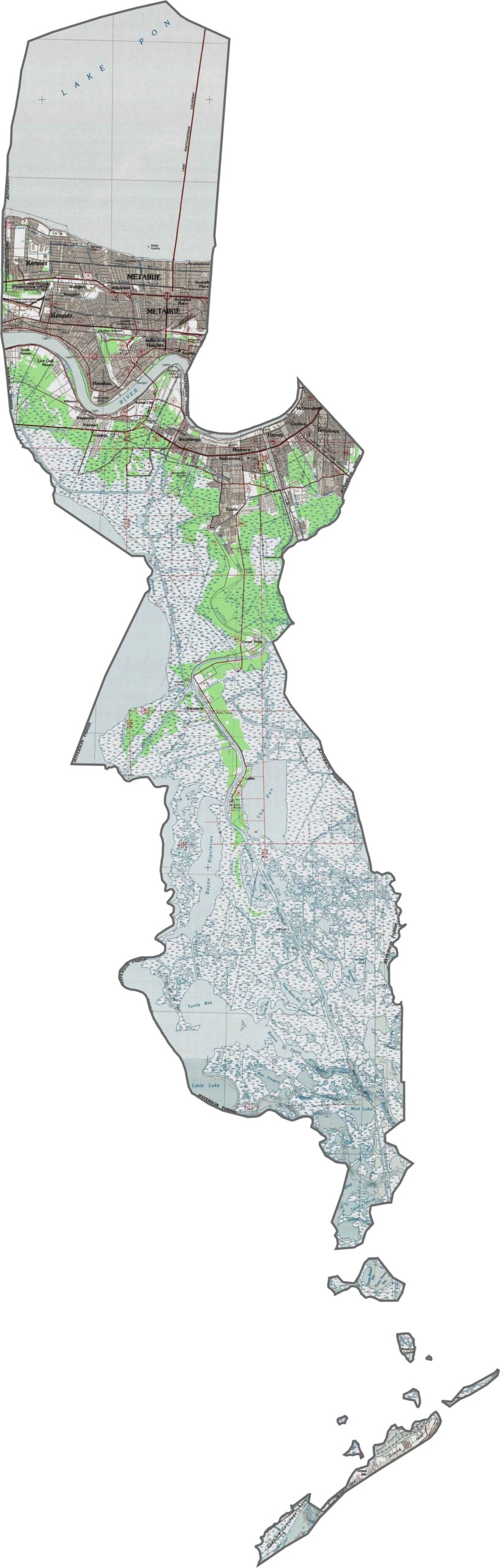
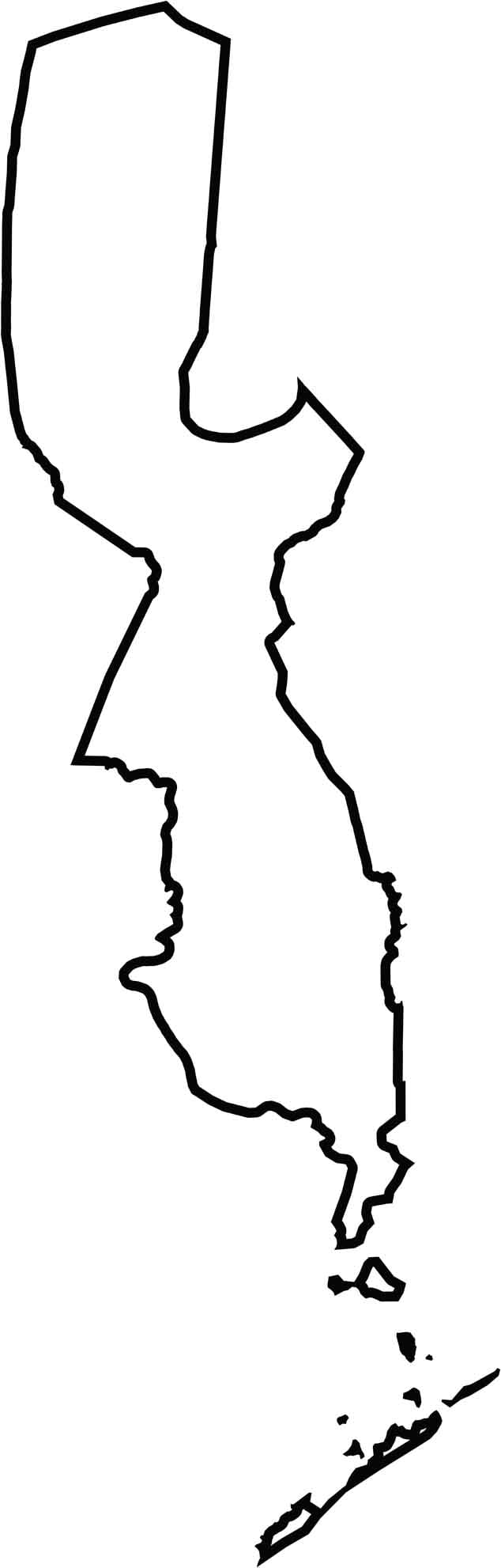
Jefferson Parish hugs the Mississippi River just west of New Orleans, stretching from Lake Pontchartrain southward to the Gulf of Mexico. Its location places it at the crossroads of urban development, wetlands, and Louisiana’s coastal landscape.
The parish blends extensive suburban development with classic bayou country. Metairie is the largest community and one of the parish’s main population and commercial centers. Visitors can enjoy a wide range of Creole and Cajun cuisine, including favorites such as gumbo, jambalaya, and crawfish étouffée.
Jefferson Parish has experienced its share of hurricanes and coastal storms, shaping the resilience of its communities. On weekends, locals often head to the Lakefront for fishing, relaxing by the water, or enjoying the breeze along Lake Pontchartrain.
Jefferson Parish thrives on its extensive highway connections. I-10 cuts across the northern part of the parish, while elevated I-610 provides an important bypass around New Orleans. Causeway Boulevard (LA 3046) leads toward Lake Pontchartrain and connects major communities along the way. Use our zoom tool to explore all the routes crossing this busy parish.
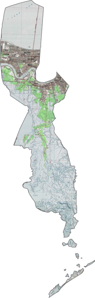
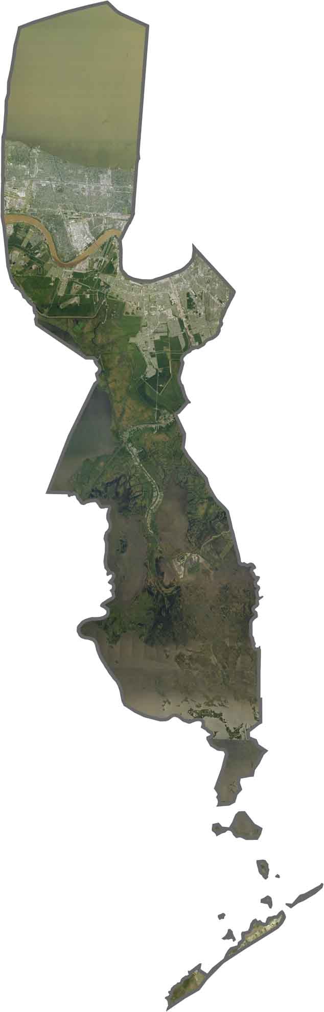
A mix of dense suburbia and sprawling wetlands defines Jefferson Parish. Residential neighborhoods form a broad urban grid in the north near New Orleans, while expansive marshes and wetlands dominate the southern portion of the parish.
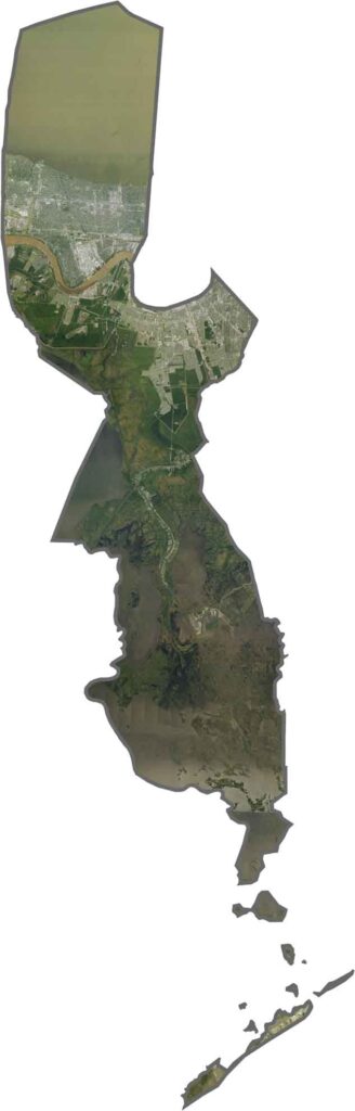
Jefferson Parish stretches a long distance from north to south, wrapping around the western and southern sides of the New Orleans area. Lake Pontchartrain forms much of its northern boundary, while the parish’s southern reaches extend deep into Louisiana’s coastal wetlands.






In Louisiana, you’ll taste the spirit of the state in its hot sauce and hear it in the midnight blues. Laissez les bon temps rouler! Explore our Louisiana parish maps to discover the state’s unique communities, winding bayous, and rich landscapes. Come for the beignets. Stay for the bayou.