
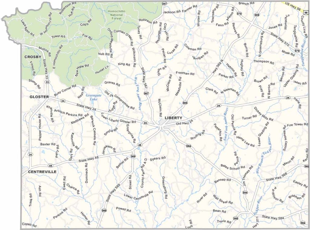
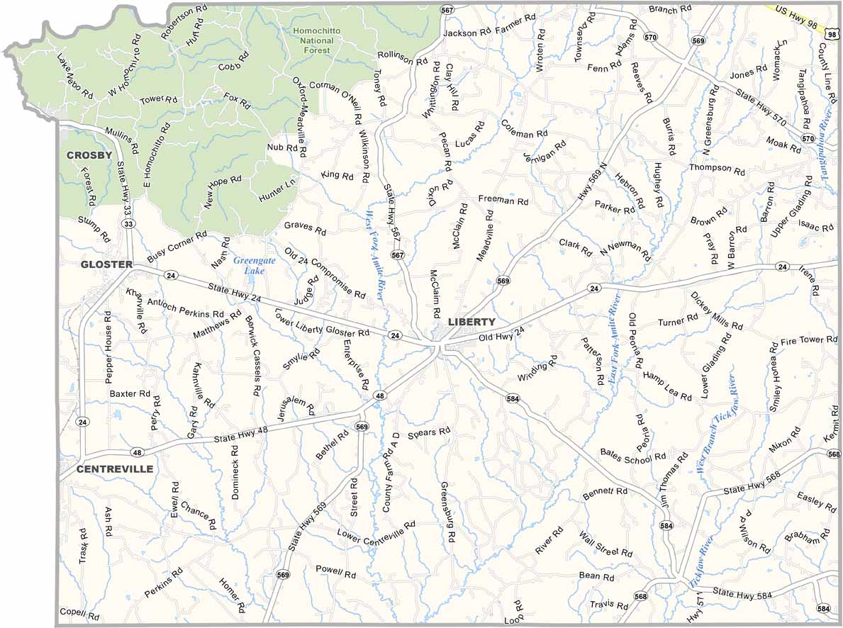
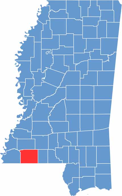
Amite County lies in the southwest corner of Mississippi. Founded in 1809, it is one of the oldest counties in the state. Liberty serves as the county seat, but don't expect any big-city vibes here.
It's all about small-town living and wide-open spaces. The Homochitto National Forest covers a good part of the northwest region, and fishing, hunting, and hiking are popular pastimes.
Amite County has deep agricultural roots, with timber and cattle farming playing big roles in the local economy. Visitors may also appreciate that this was the birthplace of Will D. Campbell, a notable civil rights activist and author.

Mississippi Counties
Rankin County Map Download Mississippi – Outline Map and Blank Map

Mississippi Counties
Madison County Map Download Mississippi – Outline Map and Blank Map

Mississippi Counties
Jackson County Map Download Mississippi – Outline Map and Blank Map

Mississippi Counties
Hinds County Map Download Mississippi – Outline Map and Blank Map

Mississippi Counties
Harrison County Map Download Mississippi – Outline Map and Blank Map

Mississippi Counties