
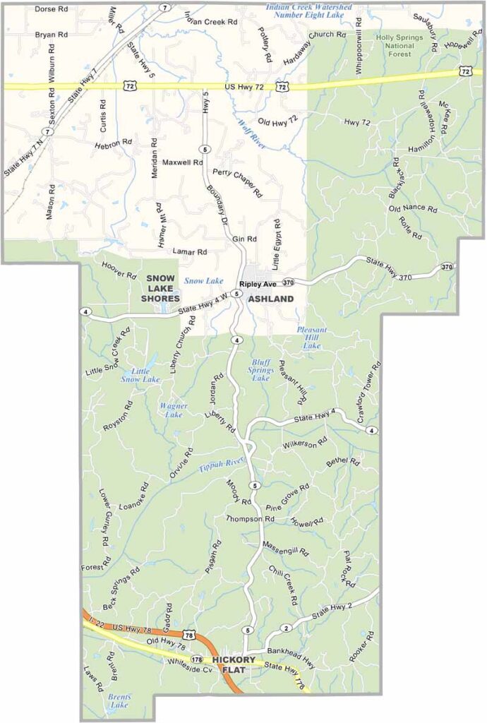
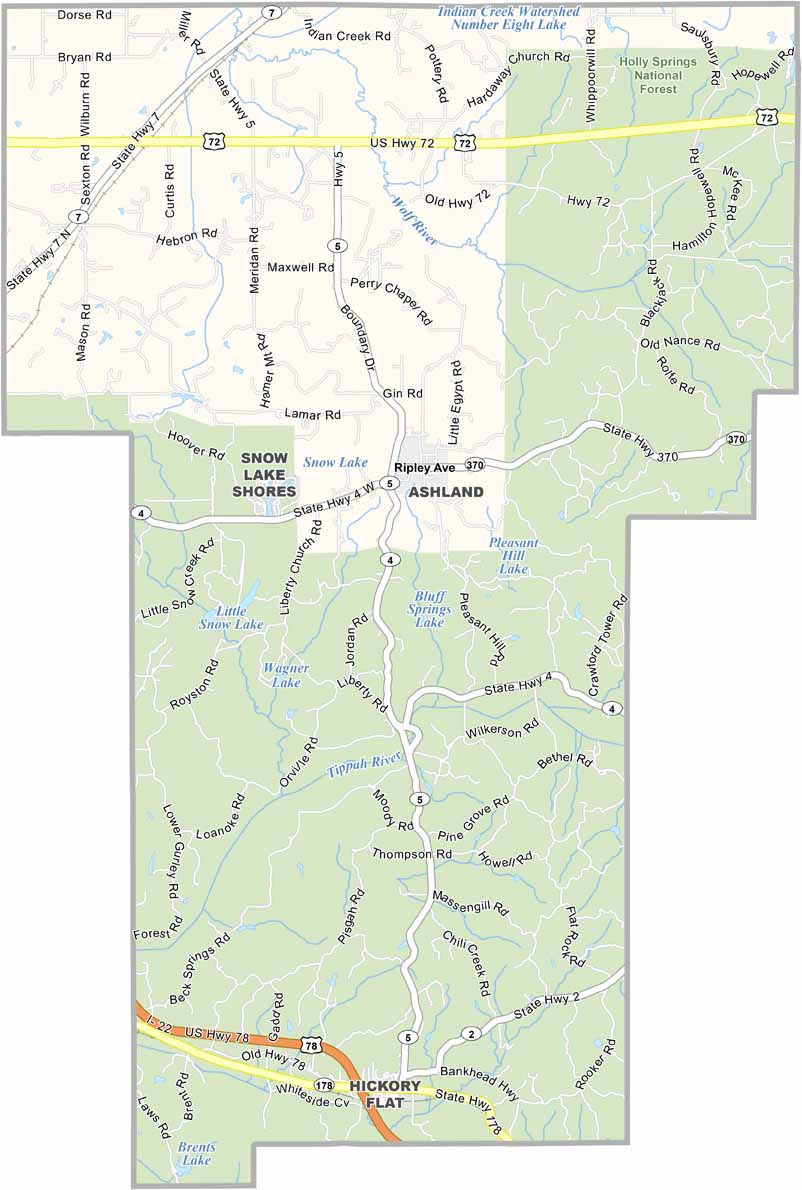
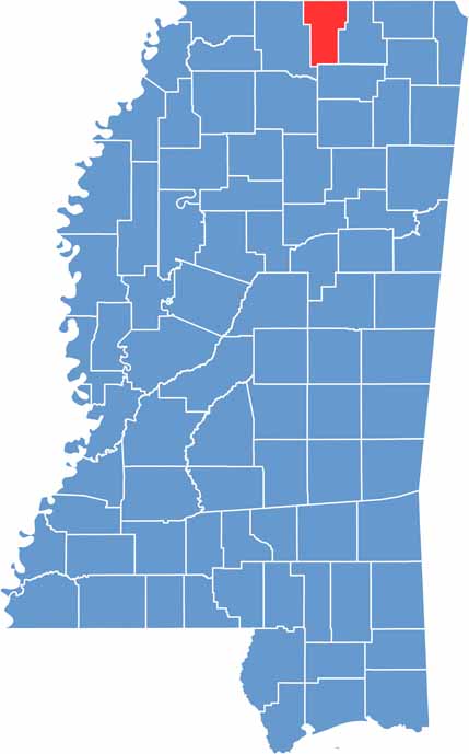
Benton County sits in the north of Mississippi, right up against the Tennessee border. It's a place that flies under the radar, but that's part of its charm.
The landscape is a mix of rolling hills and dense forests, perfect for those who love the outdoors. Holly Springs National Forest covers the southern section of the county, with trails for hiking and spots for camping.
Ashland, the county seat, is about as small-town as it gets. You won't find any traffic lights here. Benton County has some history to it, dating back to 1870, when it was carved out of parts of Marshall County and Tippah County.

Mississippi Counties
Rankin County Map Download Mississippi – Outline Map and Blank Map

Mississippi Counties
Madison County Map Download Mississippi – Outline Map and Blank Map

Mississippi Counties
Jackson County Map Download Mississippi – Outline Map and Blank Map

Mississippi Counties
Hinds County Map Download Mississippi – Outline Map and Blank Map

Mississippi Counties
Harrison County Map Download Mississippi – Outline Map and Blank Map

Mississippi Counties