
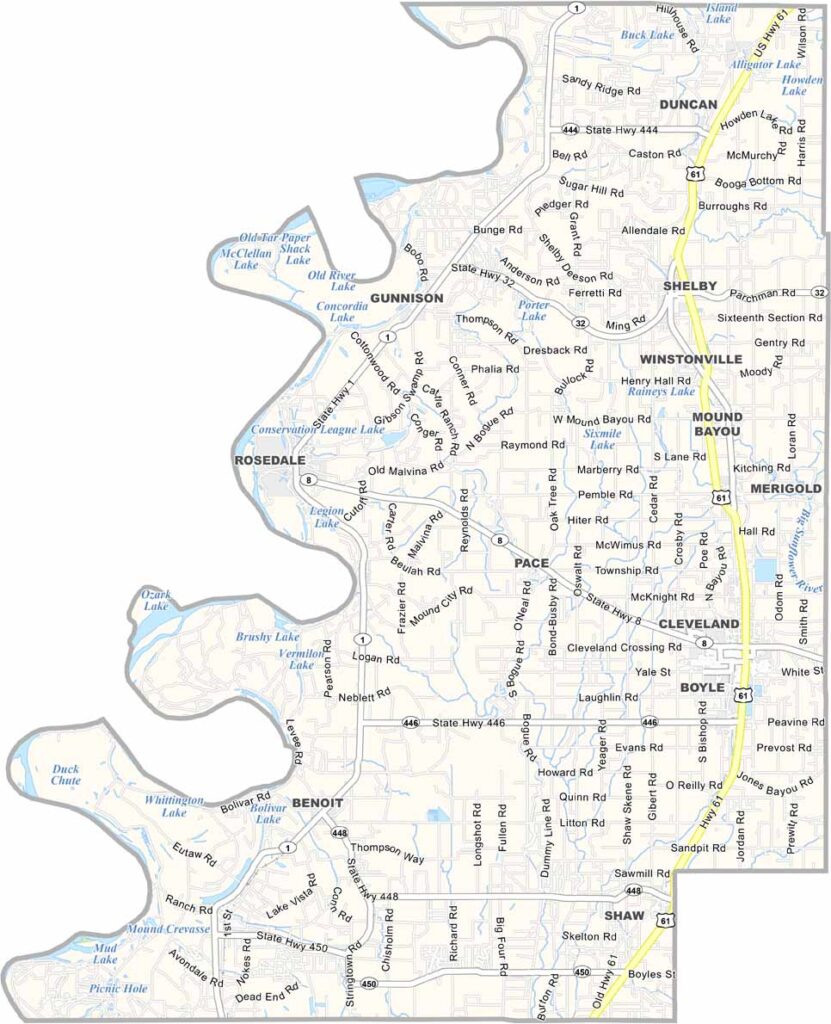
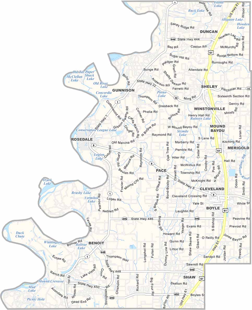
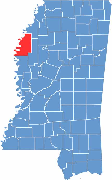
The Mississippi Delta has a heart, and it's called Bolivar County. Smack in the northwest part of the state, this place is pure Delta through and through. It's flat as a pancake, with cotton fields stretching to the horizon.
The Mississippi River forms the western border. Cleveland is the biggest town, home to Delta State University and some killer blues joints. Speaking of the blues, this county has produced its fair share of legends.
Bolivar County has two county seats: Cleveland and Rosedale. Don't ask why, it's just how they roll. Bolivar also has a progressive streak, and it was one of the first counties in Mississippi to elect an African American sheriff.

Mississippi Counties
Rankin County Map Download Mississippi – Outline Map and Blank Map

Mississippi Counties
Madison County Map Download Mississippi – Outline Map and Blank Map

Mississippi Counties
Jackson County Map Download Mississippi – Outline Map and Blank Map

Mississippi Counties
Hinds County Map Download Mississippi – Outline Map and Blank Map

Mississippi Counties
Harrison County Map Download Mississippi – Outline Map and Blank Map

Mississippi Counties