
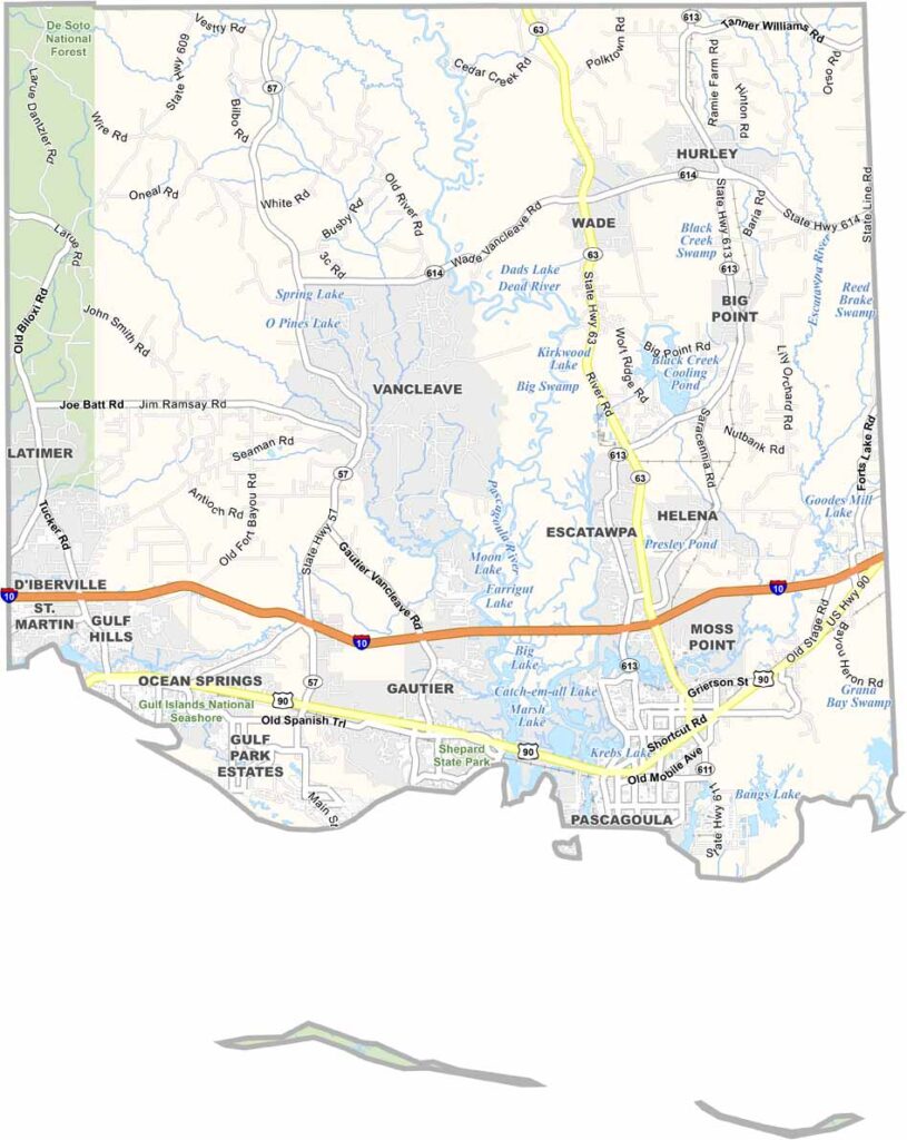

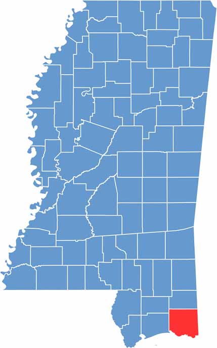
Jackson County is located along Mississippi’s Gulf Coast, bordering Alabama. It’s where the Pascagoula River reaches the sea, with Moss Point, Pascagoula, Ocean Springs, and Gautier serving as its main cities.
The county offers a mix of beaches, bayous, and industry. Seafood is a major part of local life, with fresh shrimp and oysters being popular favorites. Pascagoula is also well known for its shipyards.
The Walter Anderson Museum of Art in Ocean Springs highlights the work of the renowned Gulf Coast artist. Hurricanes have hit the area over the years, but residents have repeatedly rebuilt and recovered.
Jackson County has a well-developed network of highways. Interstate 10 runs east to west through the center of the county, while U.S. Route 90 follows a path closer to the coast. Use our zoom tool below to explore these routes in greater detail.
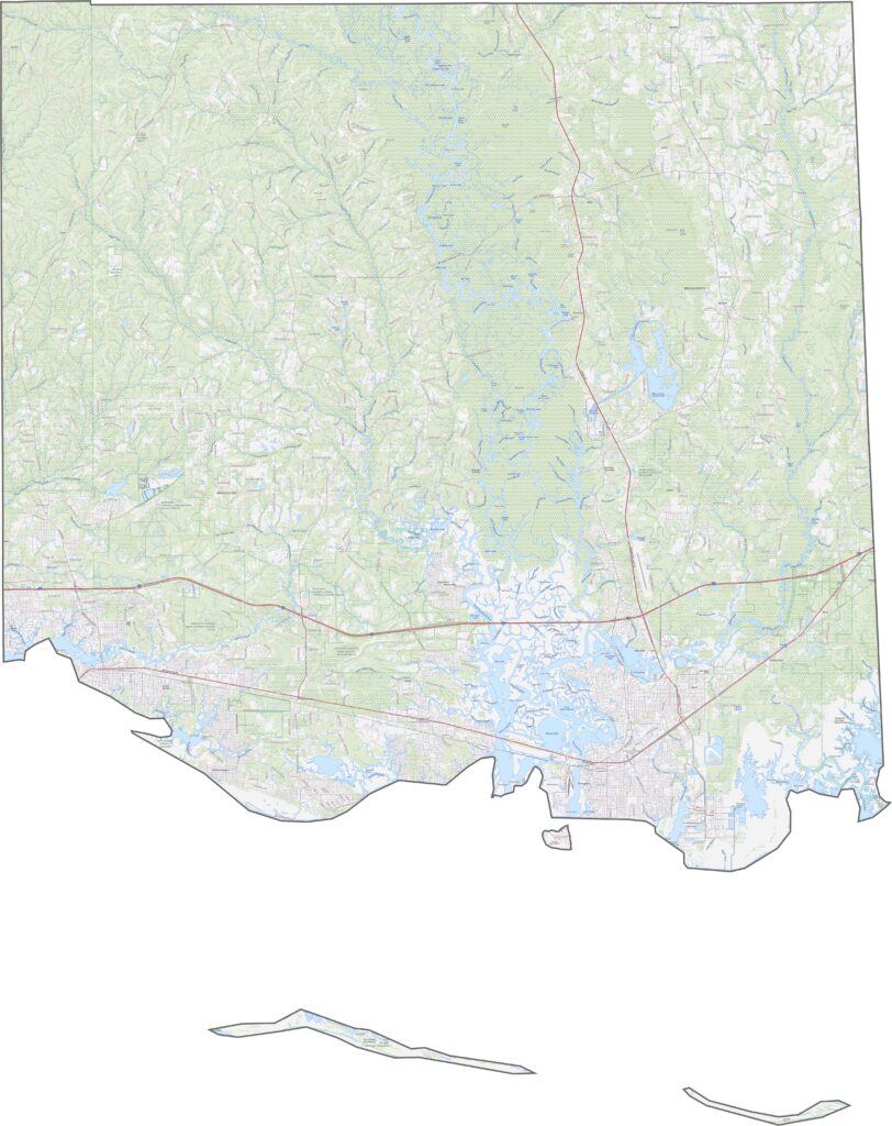
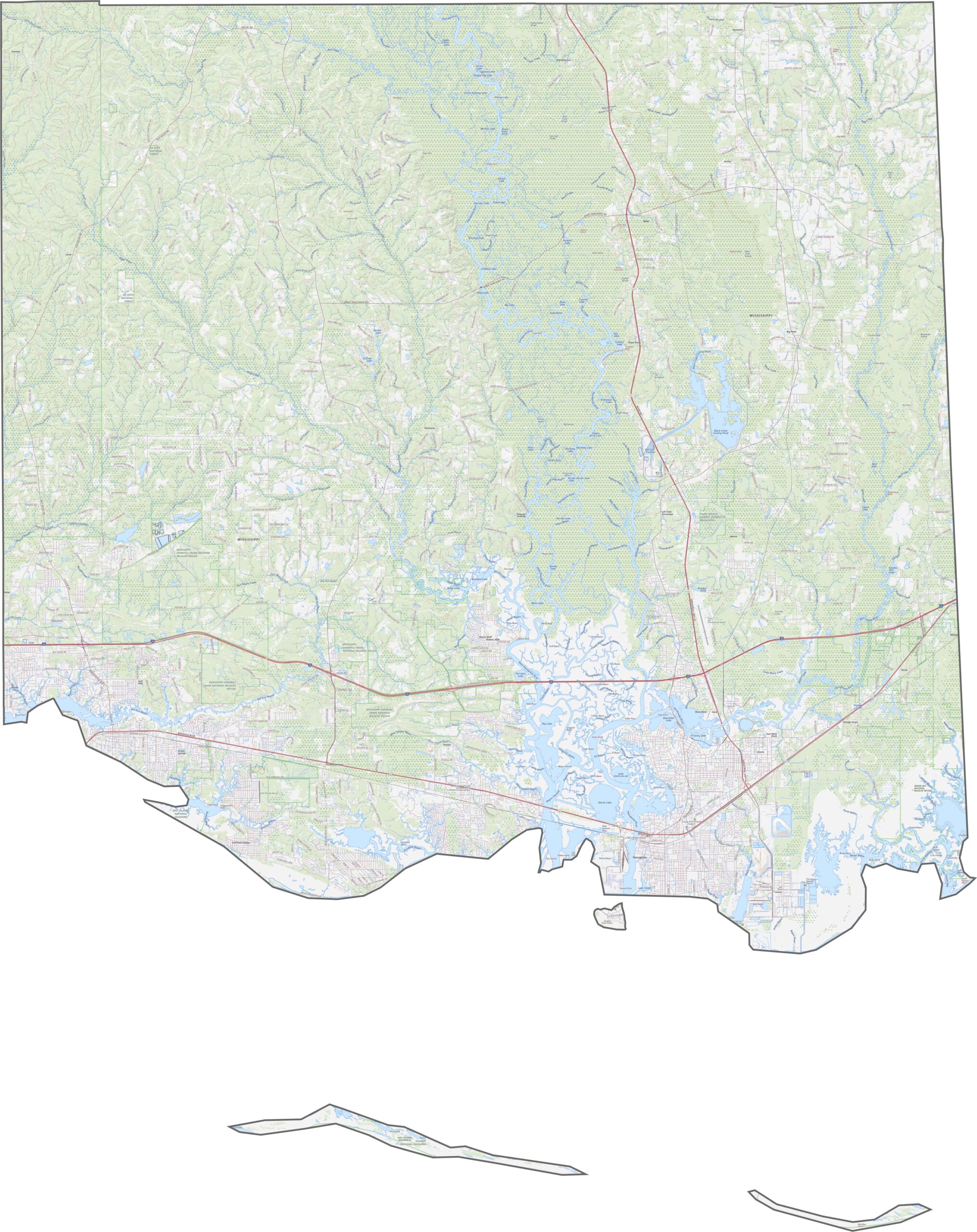
From above, Jackson County’s marshlands and coastal bays stand out clearly. Cities such as Pascagoula are easy to identify, while extensive wetlands cover much of the area. Forested patches appear farther inland, but water remains the dominant feature across the view.
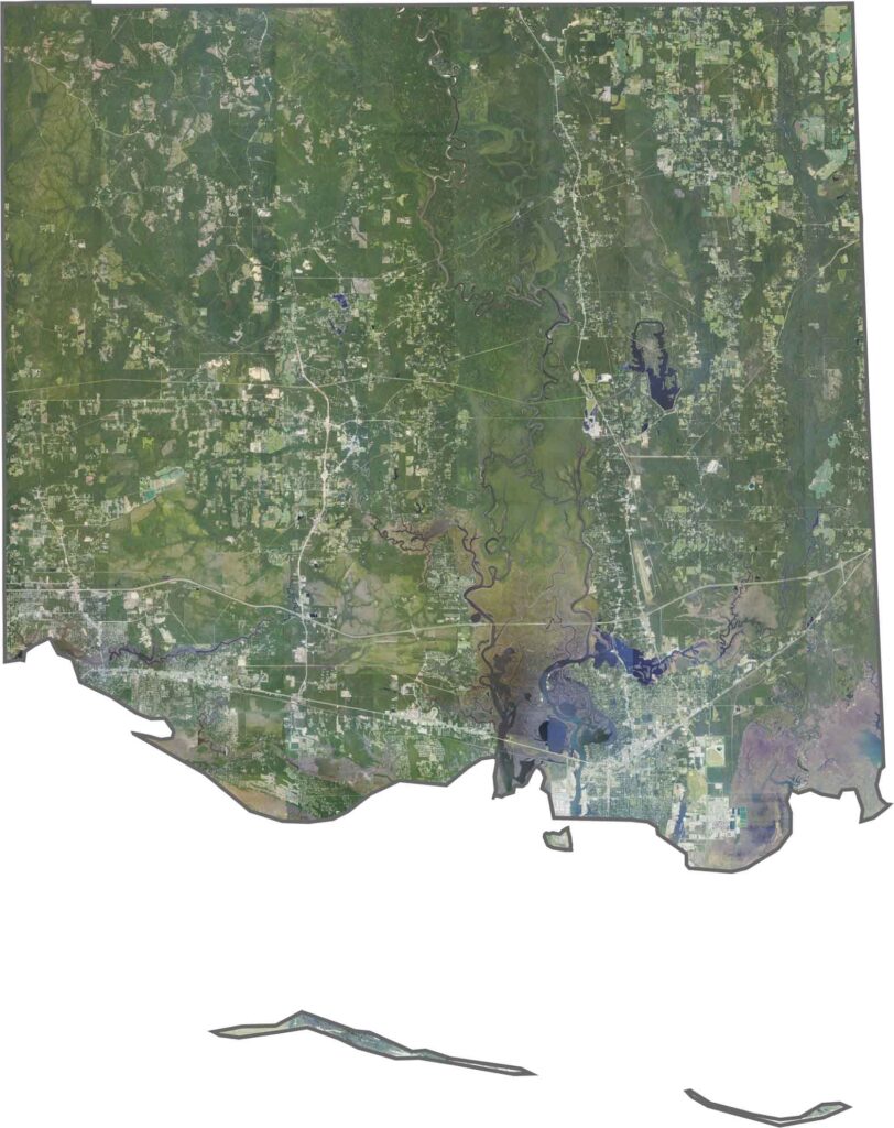
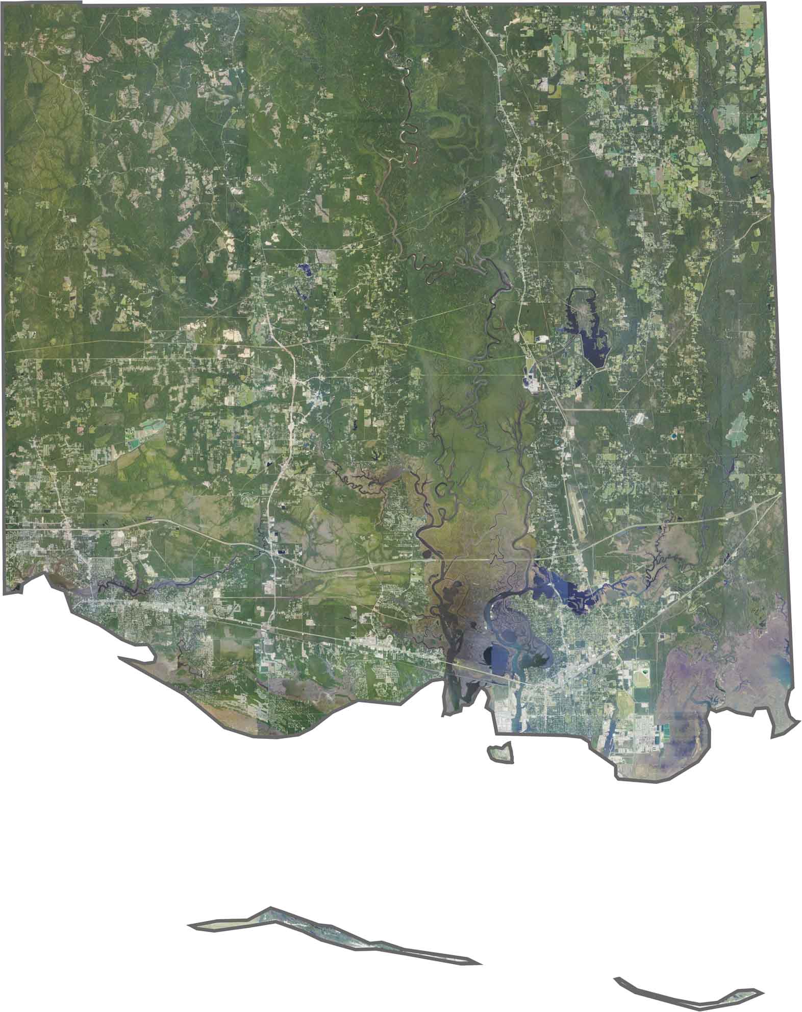
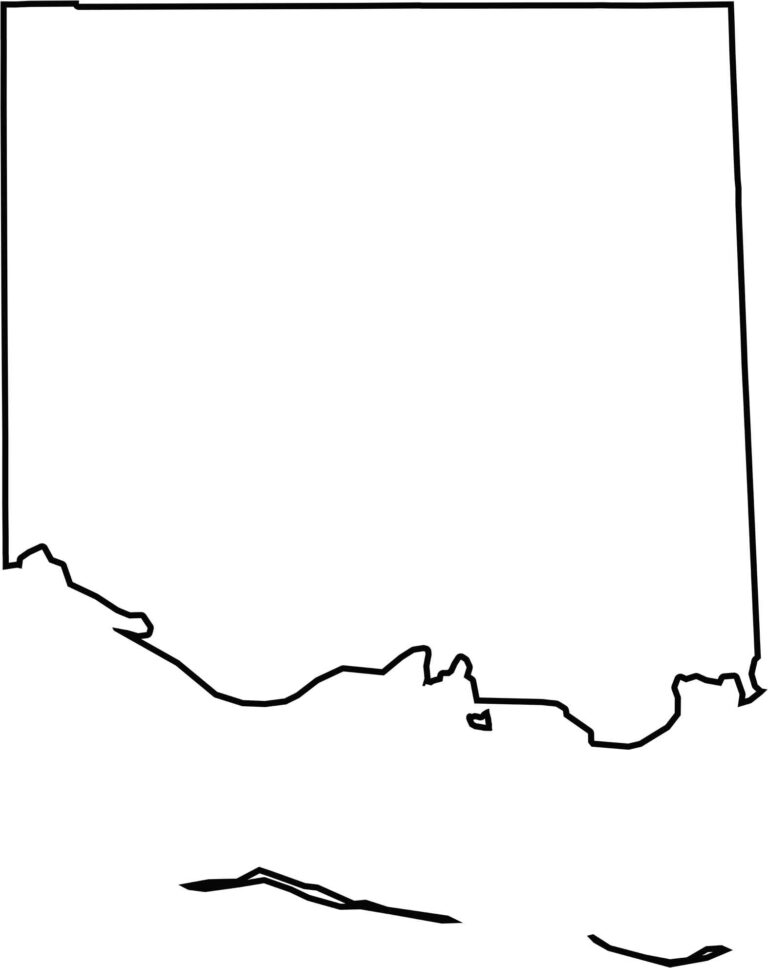
Jackson County follows the Gulf Coast, creating a long and narrow southern edge. The northern boundary is more straightforward, while the coastline curves around numerous bays and inlets. Alabama borders the county along its eastern side.


Rankin County Map Download Mississippi – Outline Map and Blank Map

Madison County Map Download Mississippi – Outline Map and Blank Map

Jackson County Map Download Mississippi – Outline Map and Blank Map

Hinds County Map Download Mississippi – Outline Map and Blank Map

Harrison County Map Download Mississippi – Outline Map and Blank Map
