
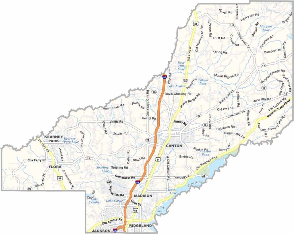

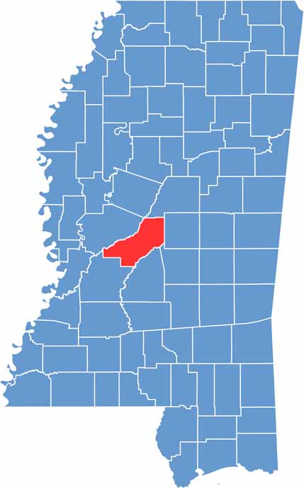
Madison County sits just north of Jackson, Mississippi, near the center of the state. The county is named after James Madison, the fourth U.S. president and often called the Father of the Constitution.
The landscape offers a little of everything, from rolling hills and flat farmland to growing suburban areas. Ridgeland is known for its shopping, while Madison attracts families with its schools and quiet neighborhoods.
Flora may be small, but it has plenty of character. Canton serves as the county seat and is known for its popular Christmas festival. Outdoor enthusiasts can also enjoy the nearby Ross Barnett Reservoir for fishing, boating, or relaxing by the water.
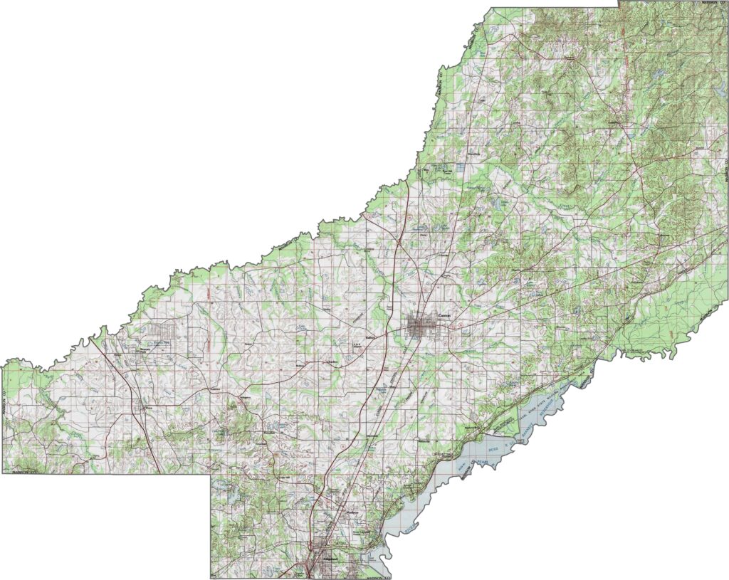
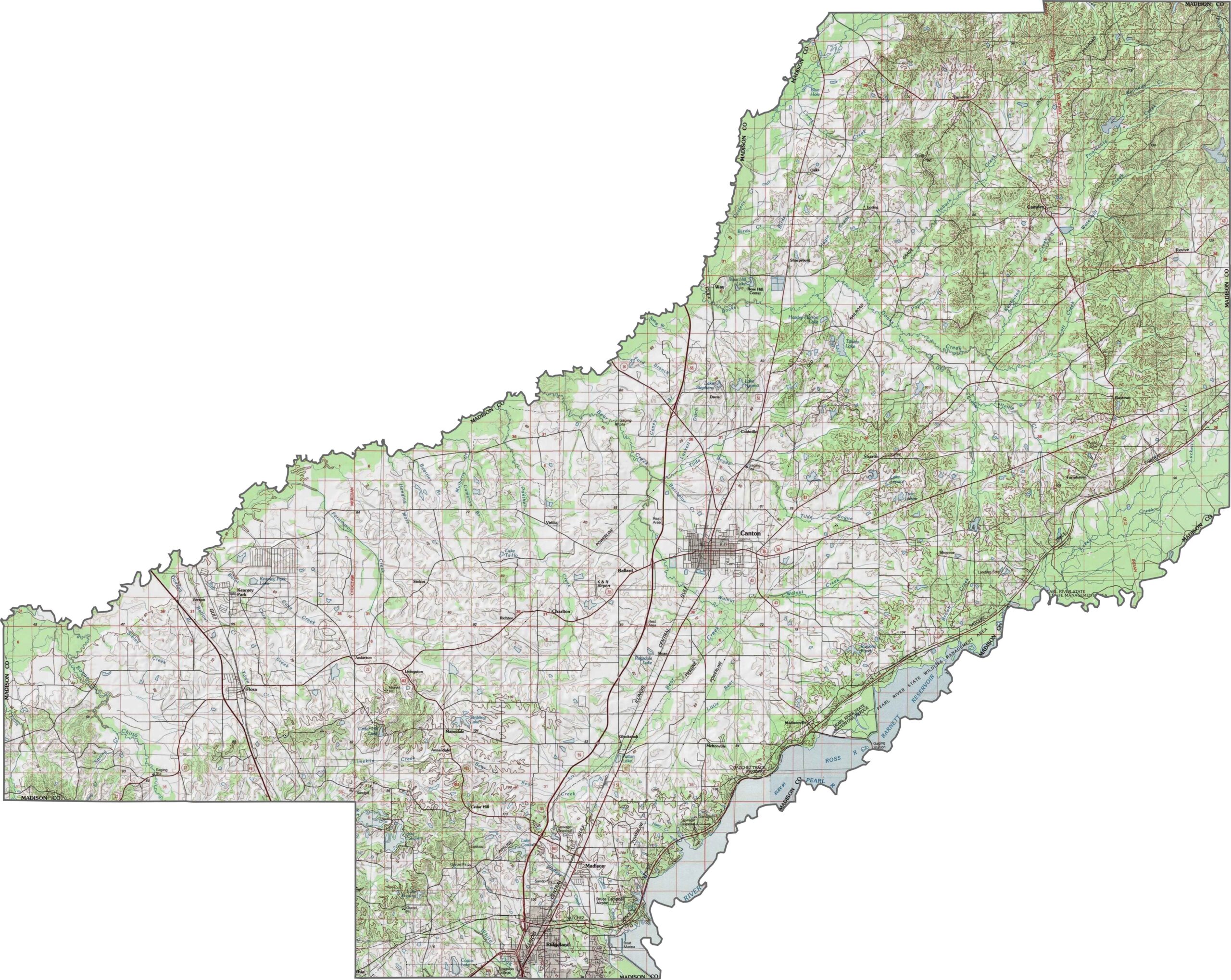
Madison County is shaped by rolling hills and broad ridges. The terrain is not mountainous, but it rises and falls throughout the area. Rich soils fill the valleys, making them well suited for farming. Higher areas offer scenic overlooks, particularly near the Pearl River basin.
Madison County is crossed by several major highways. Interstate 55 runs north to south through the county, while U.S. Route 51 follows a parallel path and provides a more local connection. Interstate 220 also briefly crosses the southwest corner, connecting the area with Jackson.
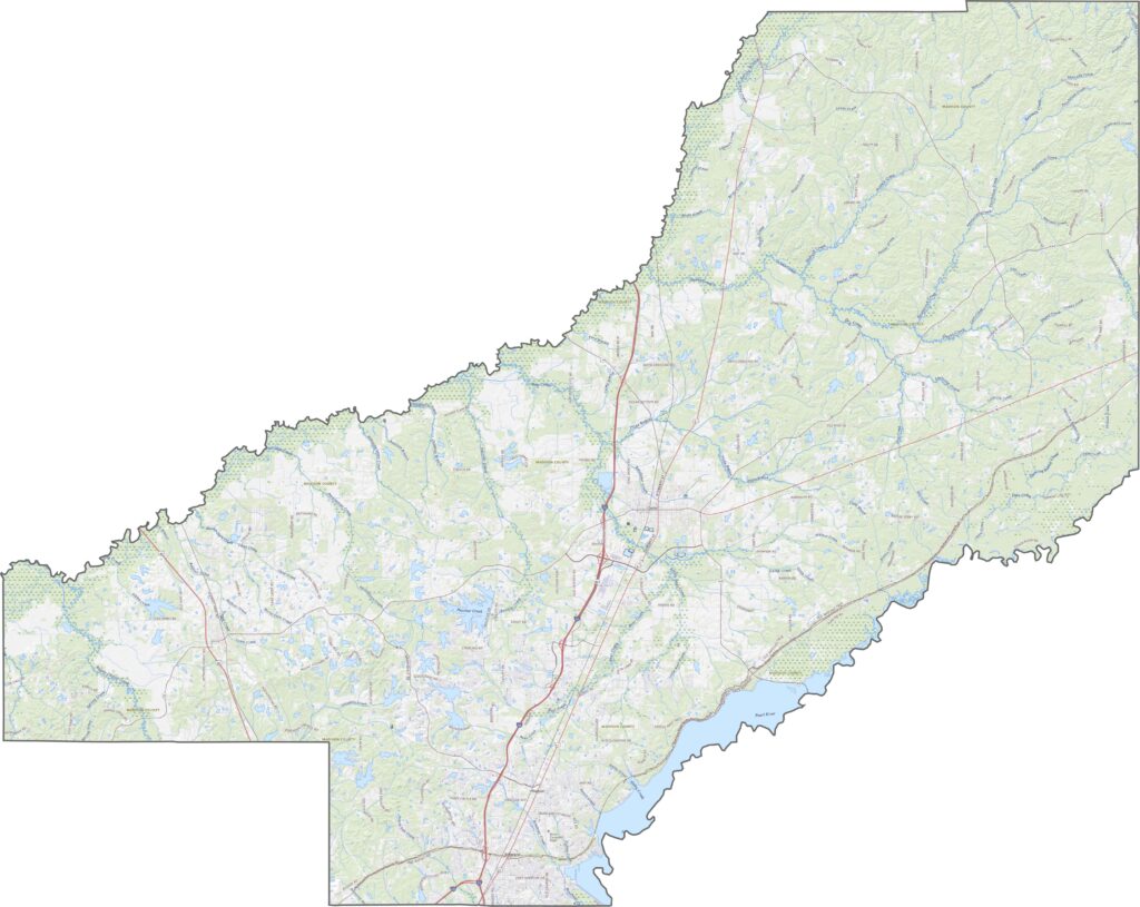
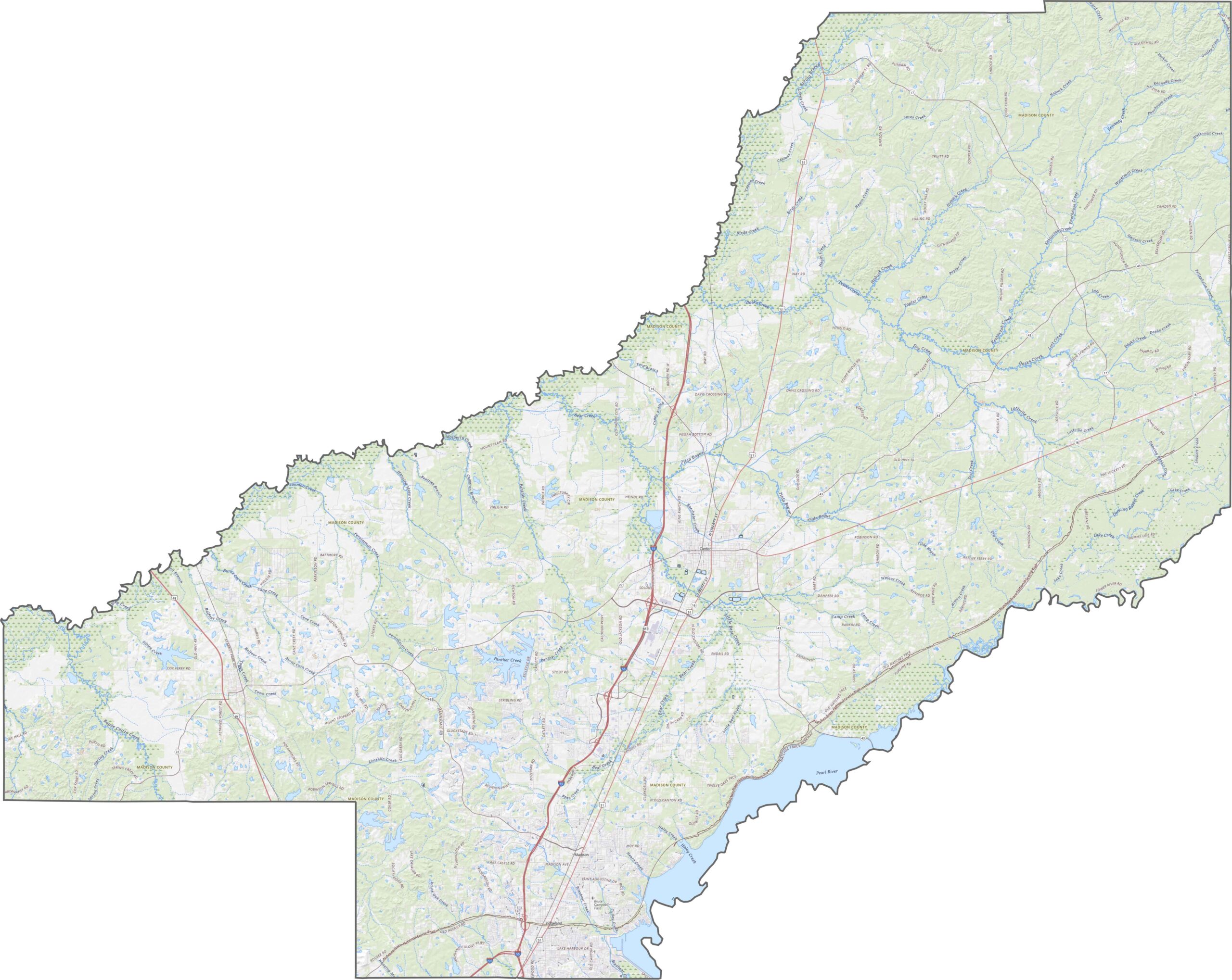
Our satellite map shows a mix of farmland, forests, and expanding suburban areas across Madison County. Canton and Ridgeland stand out as more densely developed areas. Although new neighborhoods continue to spread, large sections of forest and open fields remain.
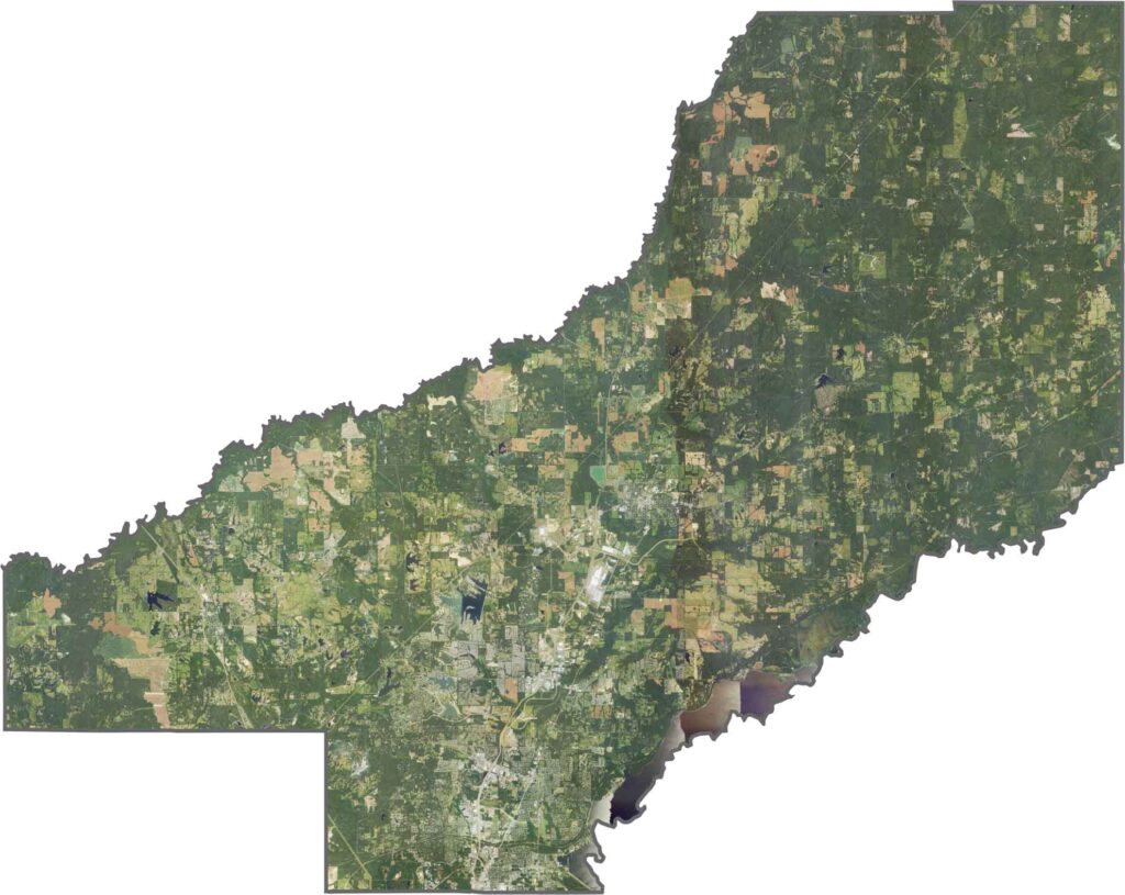
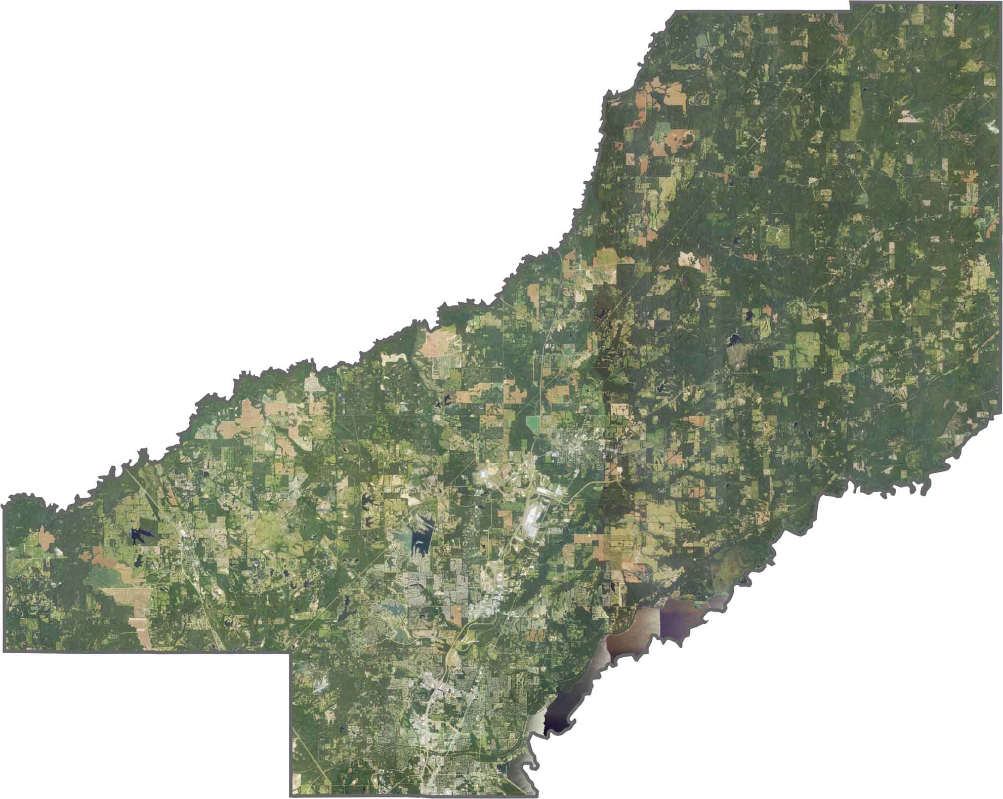
Madison County has a mostly rectangular shape, although its boundaries are not perfectly straight. The Pearl River reaches the eastern side but does not form the entire boundary. The county is surrounded entirely by other Mississippi counties.
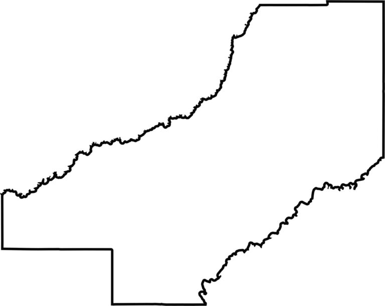


Rankin County Map Download Mississippi – Outline Map and Blank Map

Madison County Map Download Mississippi – Outline Map and Blank Map

Jackson County Map Download Mississippi – Outline Map and Blank Map

Hinds County Map Download Mississippi – Outline Map and Blank Map

Harrison County Map Download Mississippi – Outline Map and Blank Map
