
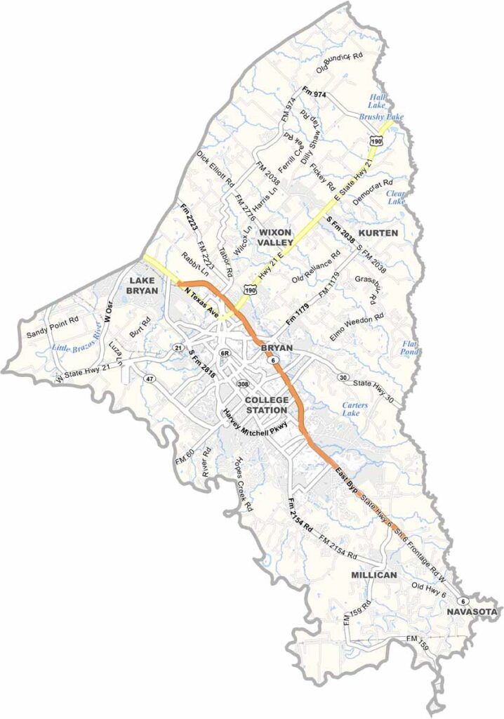
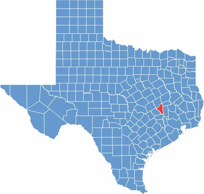
Brazos County sits right in the heart of Texas, about halfway between Houston and Austin. It’s home to Texas A&M University, which pretty much runs the show around here.
College Station and Bryan are the main towns, always buzzing with students and football fans. The Brazos River runs through the county, giving it its name and providing some nice spots for fishing or kayaking.
Summers are hot as blazes, but winters are mild. Agriculture is still big business, with plenty of cotton and cattle. There’s a nice mix of city life and country living. And don’t forget the bluebonnets in spring. Yep, they’re a sight to see!
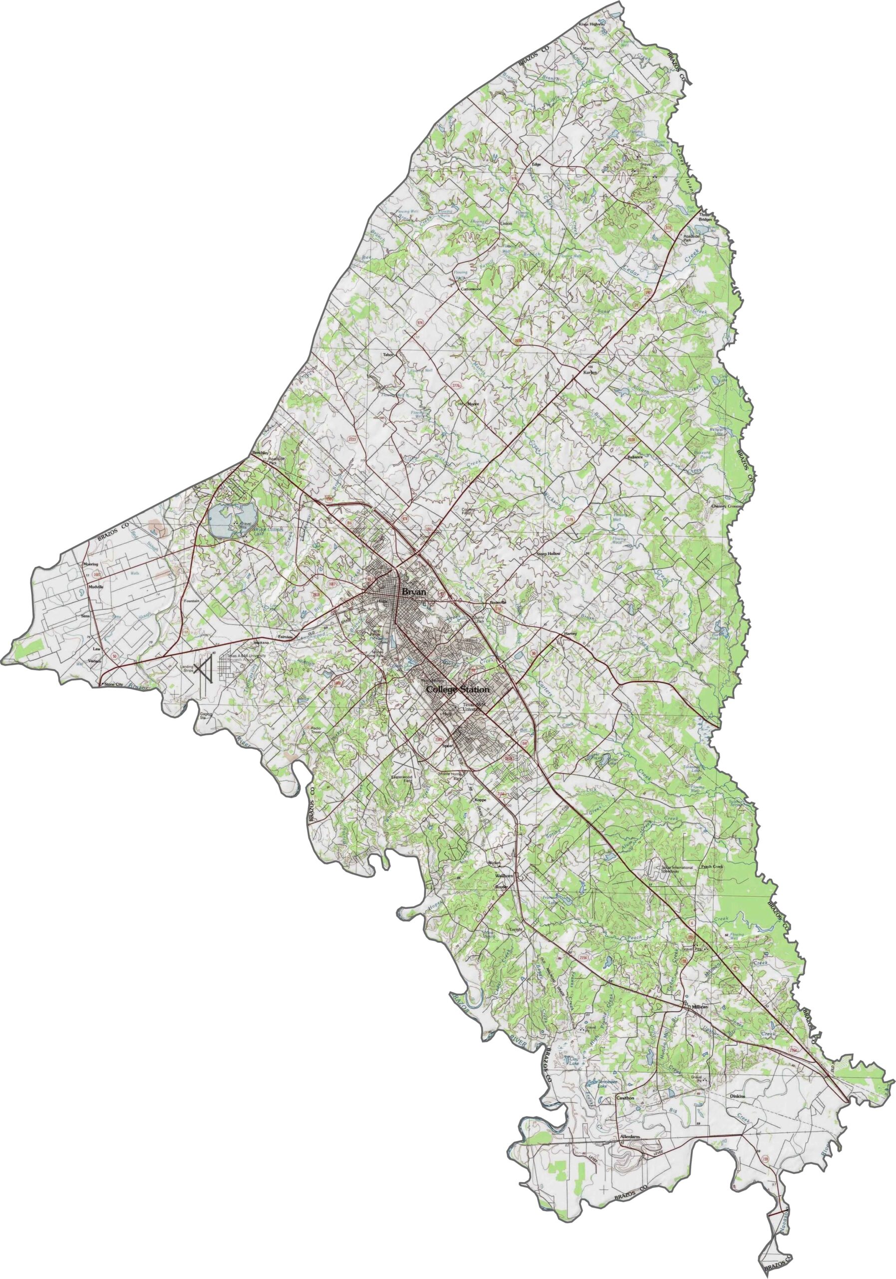
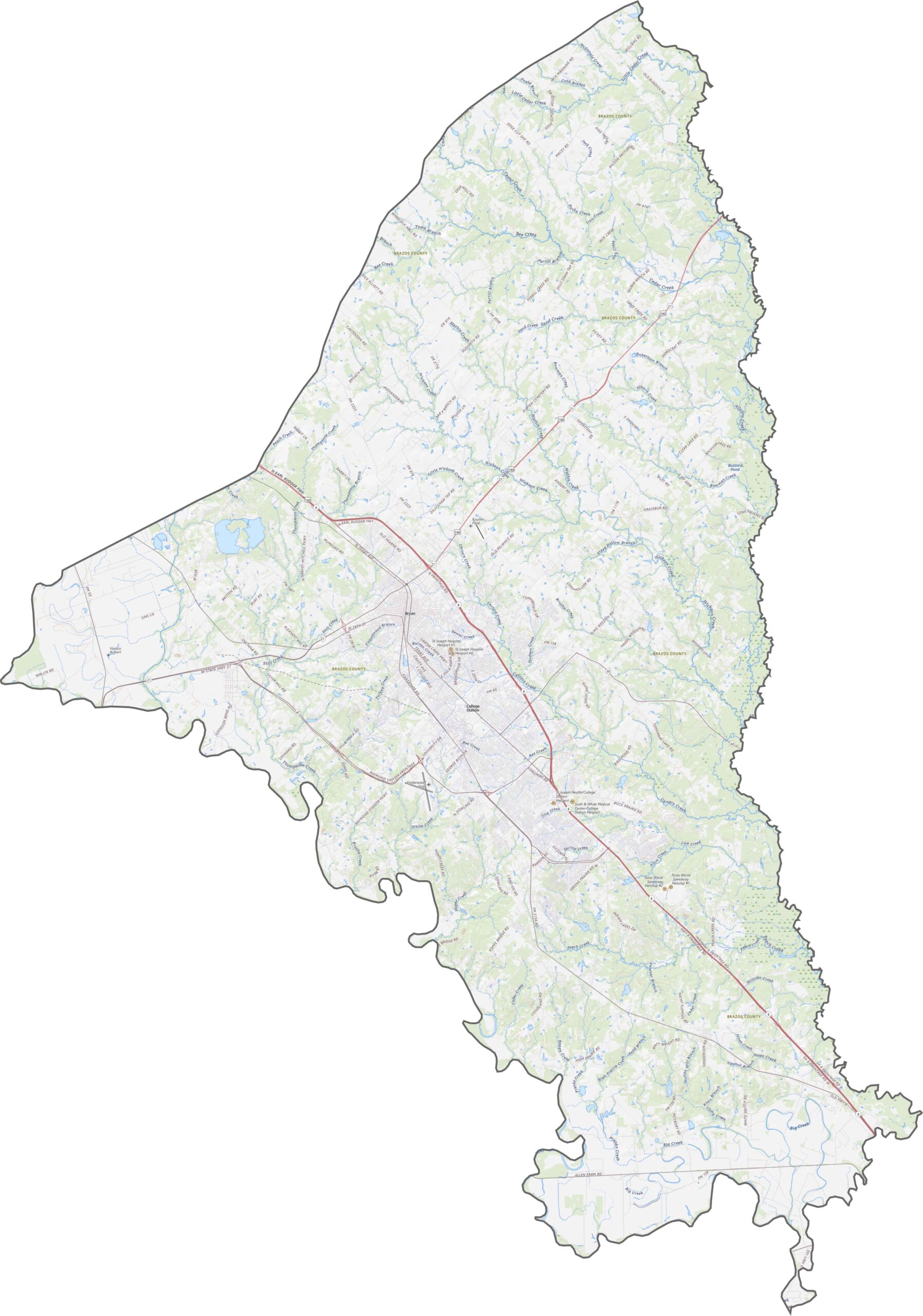
Rolling prairie defines Brazos County’s landscape. It’s not flat, but there’s no mountain range either. The county is shaped by creeks, gentle hills, and the Brazos River, which runs along the western edge.
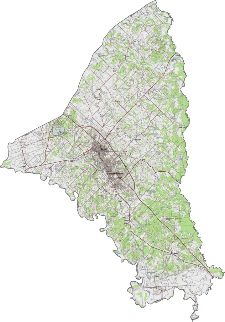
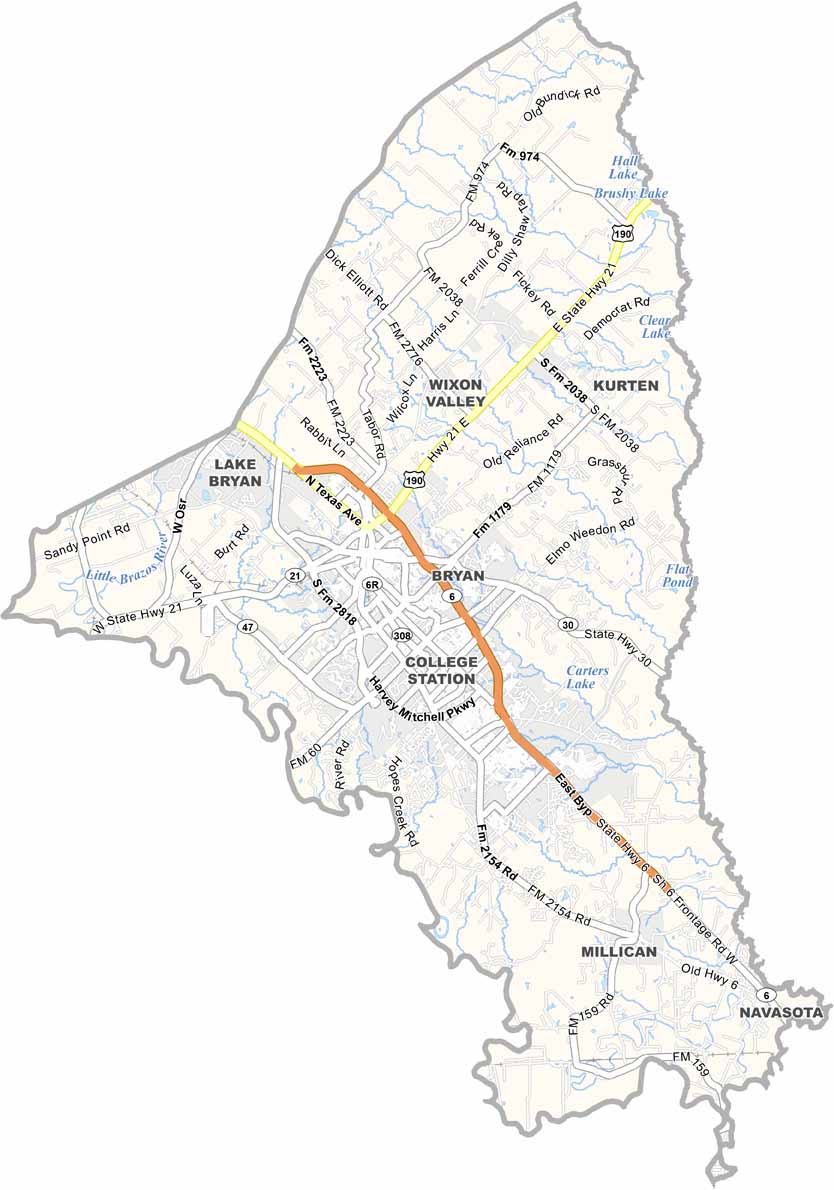
Brazos County’s routes are mostly direct, with loops and spurs connected to the area’s city growth. State Highway 6 is the main route, traveling diagonally through the county. Use our zoom tool to get a clear view of each corridor.
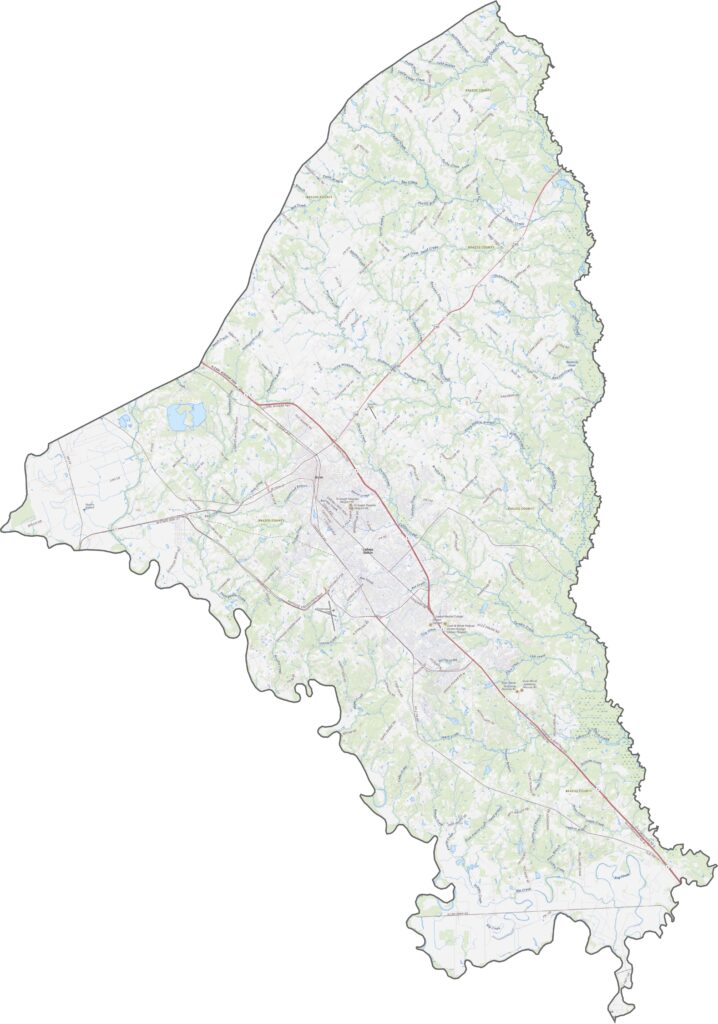
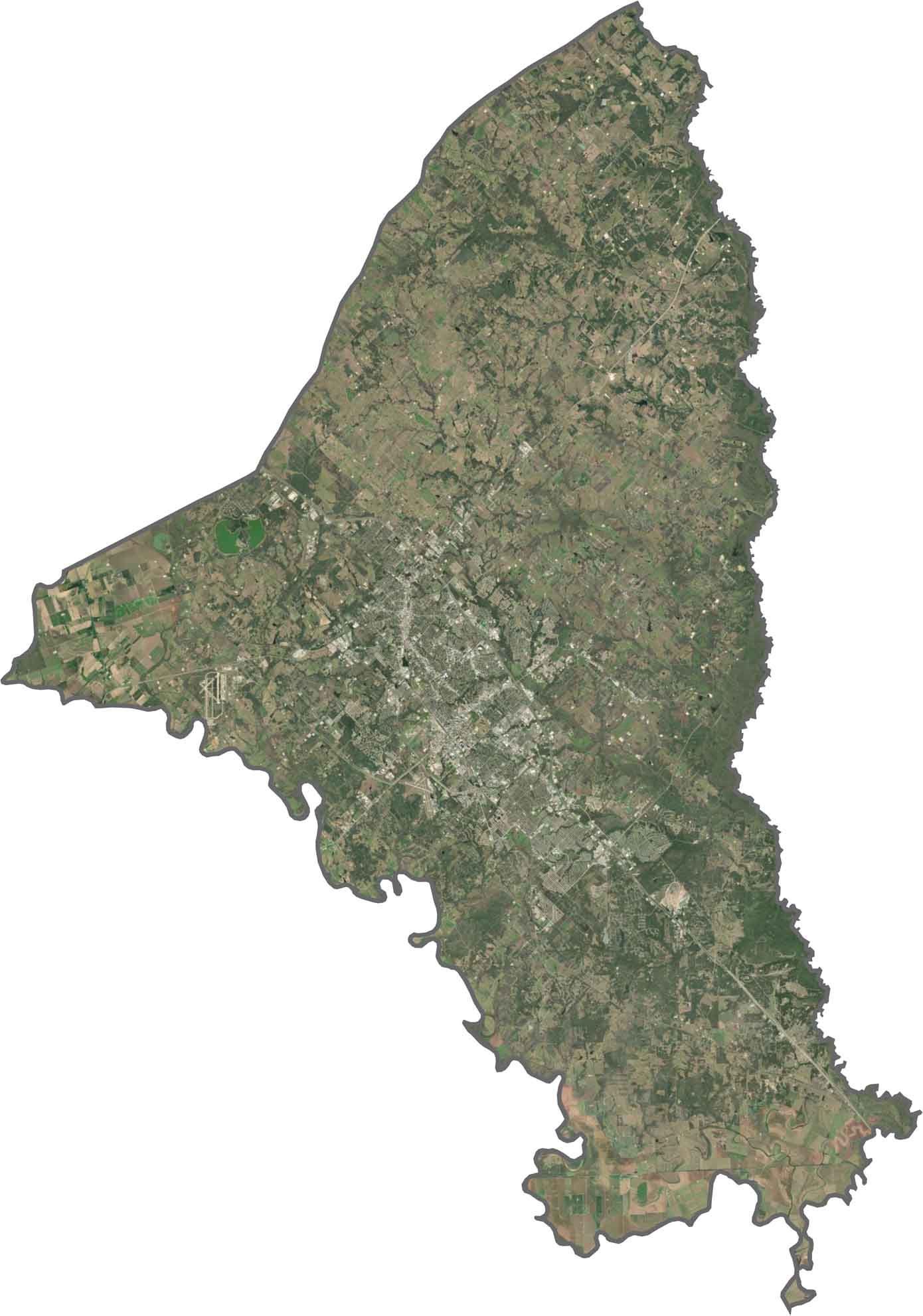
Urban areas are easy to spot. College Station’s dense grid sits alongside Bryan’s slightly older layout. Just beyond the city limits, fields and forest patches return. Some areas show clear signs of agricultural use, while others are more wooded or grassy.
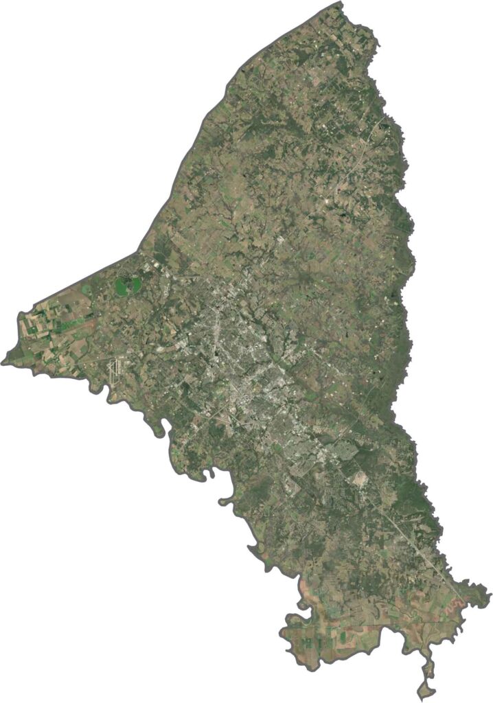
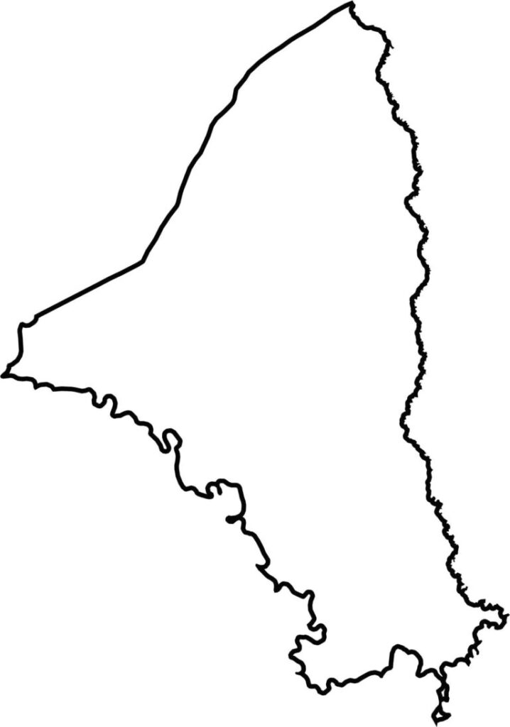
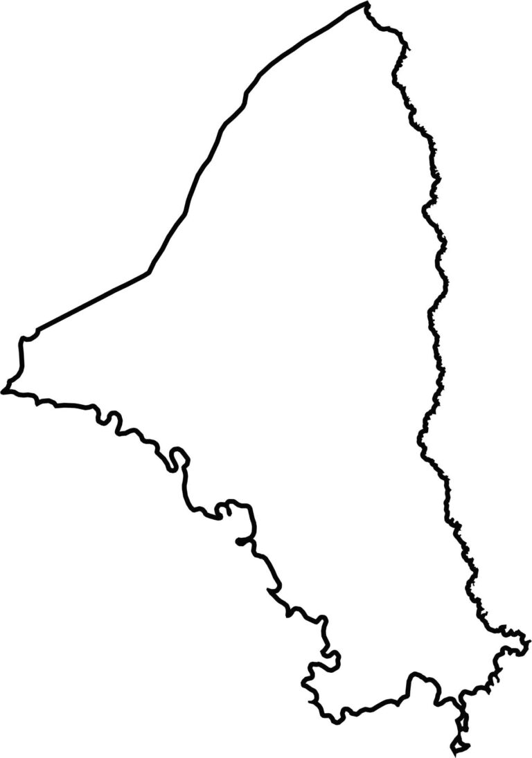
Brazos County has a long shape with a few notches and curves. The western boundary follows the Brazos River for part of its path, while the Navasota River runs along the eastern edge.







Discover all 254 legendary Texas county maps, covering the Lone Star State from the Panhandle to the Rio Grande. That means more rodeos, honky-tonk, and Texas BBQ.