
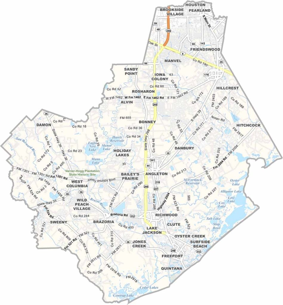
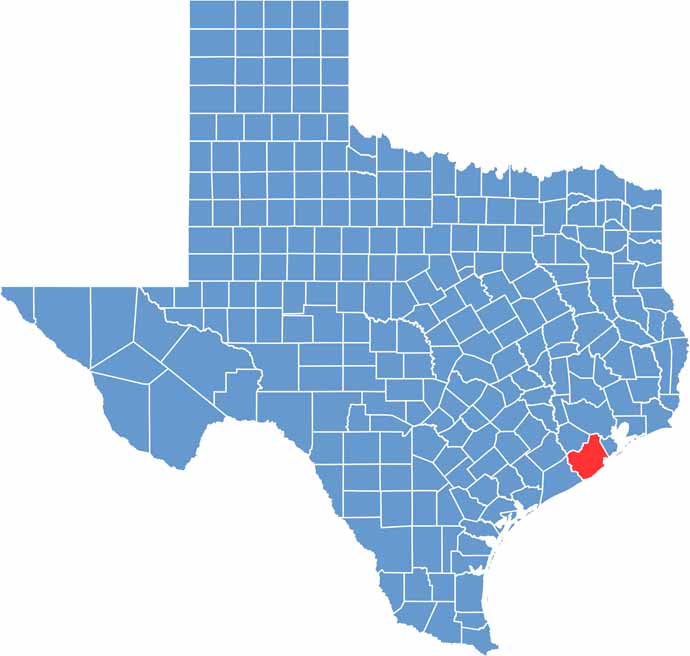
The Texas Gulf Coast wouldn’t be the same without Brazoria County. It sits just south of Houston and stretches all the way to the Gulf of Mexico. Angleton is the county seat, while Pearland is the largest city. Both places are growing quickly, too.
The beaches are a major draw. Surfside and Quintana are both here. Brazos Bend State Park is famous for its alligators. Yep, real ones. The economy is diverse, with petrochemicals, agriculture, and tourism all playing a role.
The San Bernard and Brazoria National Wildlife Refuge areas are both bird-watcher’s paradises. This county is a place of contrasts, blending old and new, rural and urban. Pure Texas, with a coastal twist.
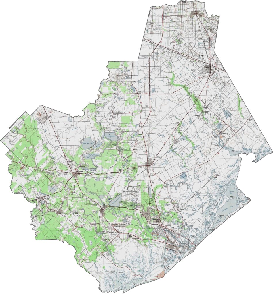
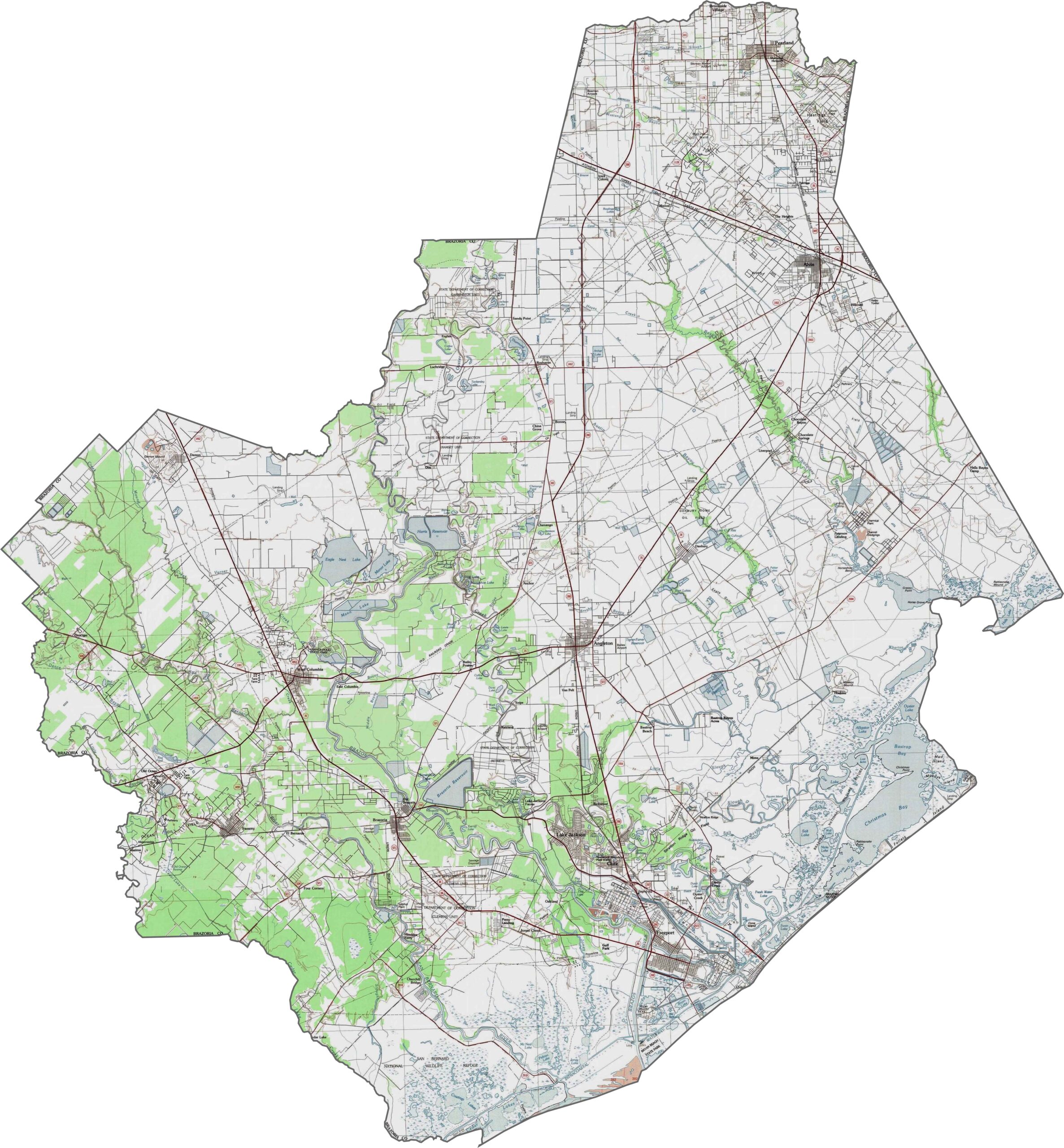
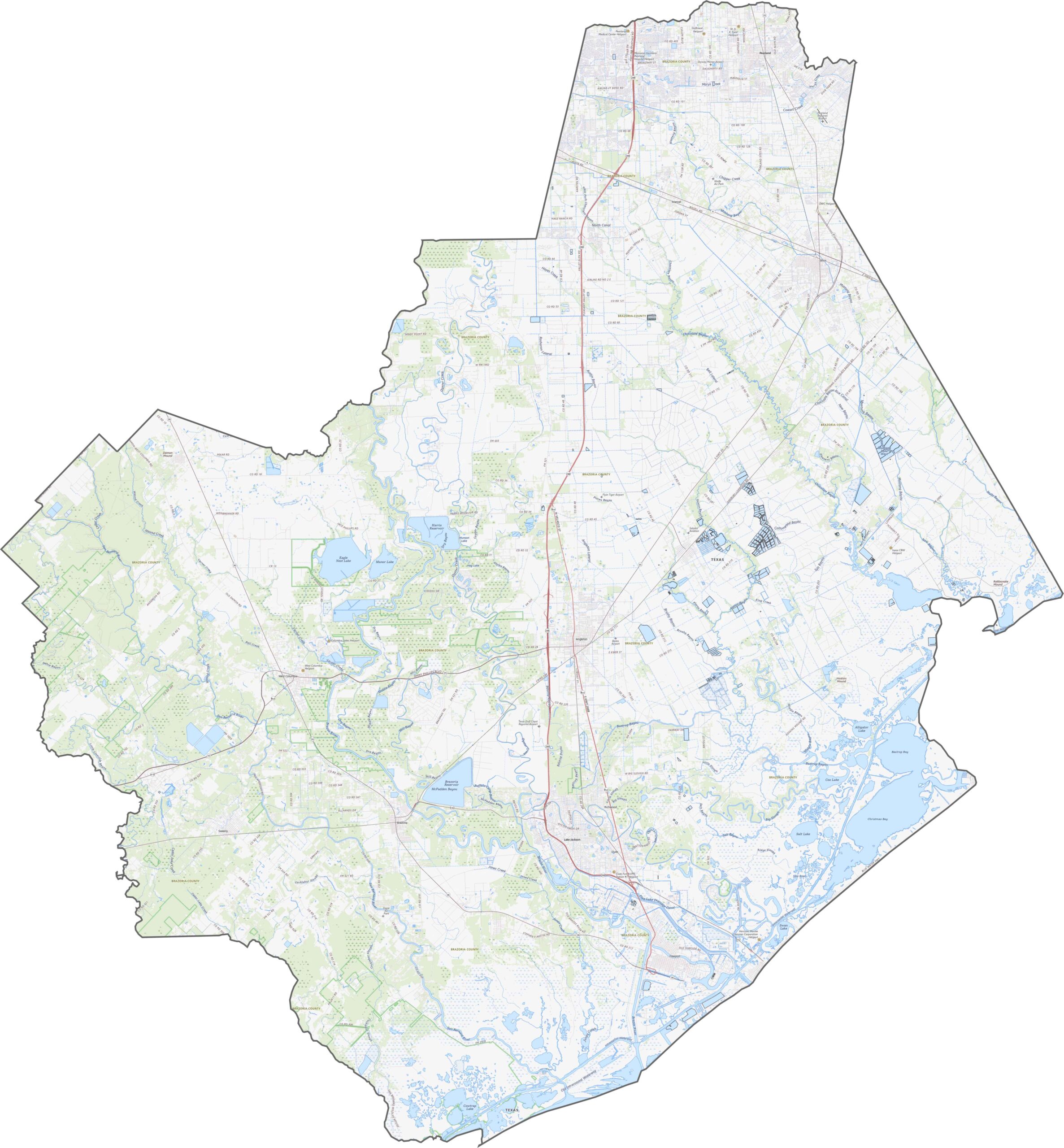
Brazoria County is a low-lying coastal area shaped by water. Its defining feature is the broad, flat delta formed by the Brazos River. Elevation is minimal, with much of the land barely above sea level. Marshes, barrier islands, and floodplains cover the southeast, while slight rises inland lead to more stable terrain.
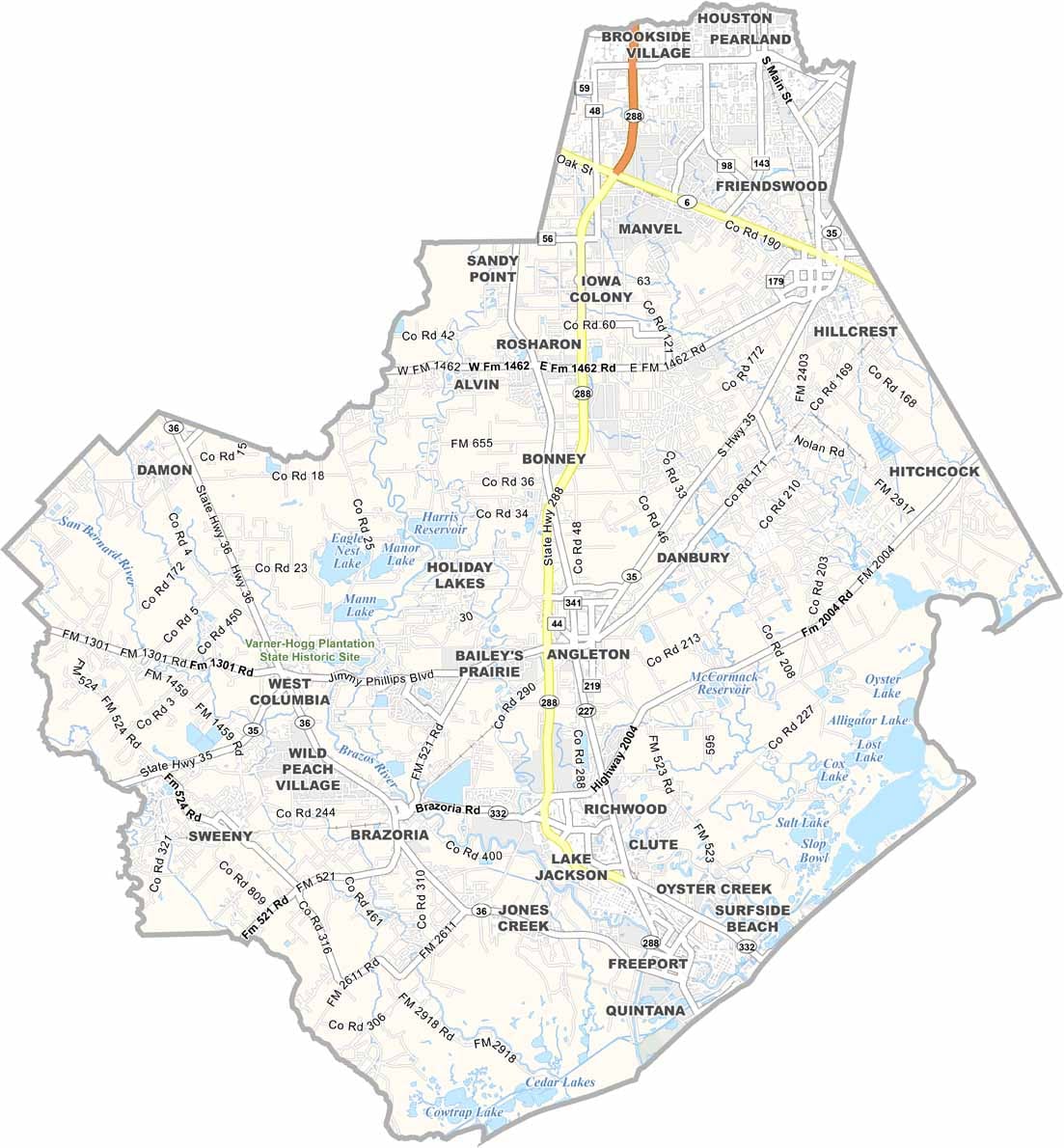
The road system in Brazoria County balances beach traffic with inland commutes. Some highways follow the coastline, while others head straight toward Houston. State Route 88 is the most important highway here. Zoom in on our road map to explore the county further.
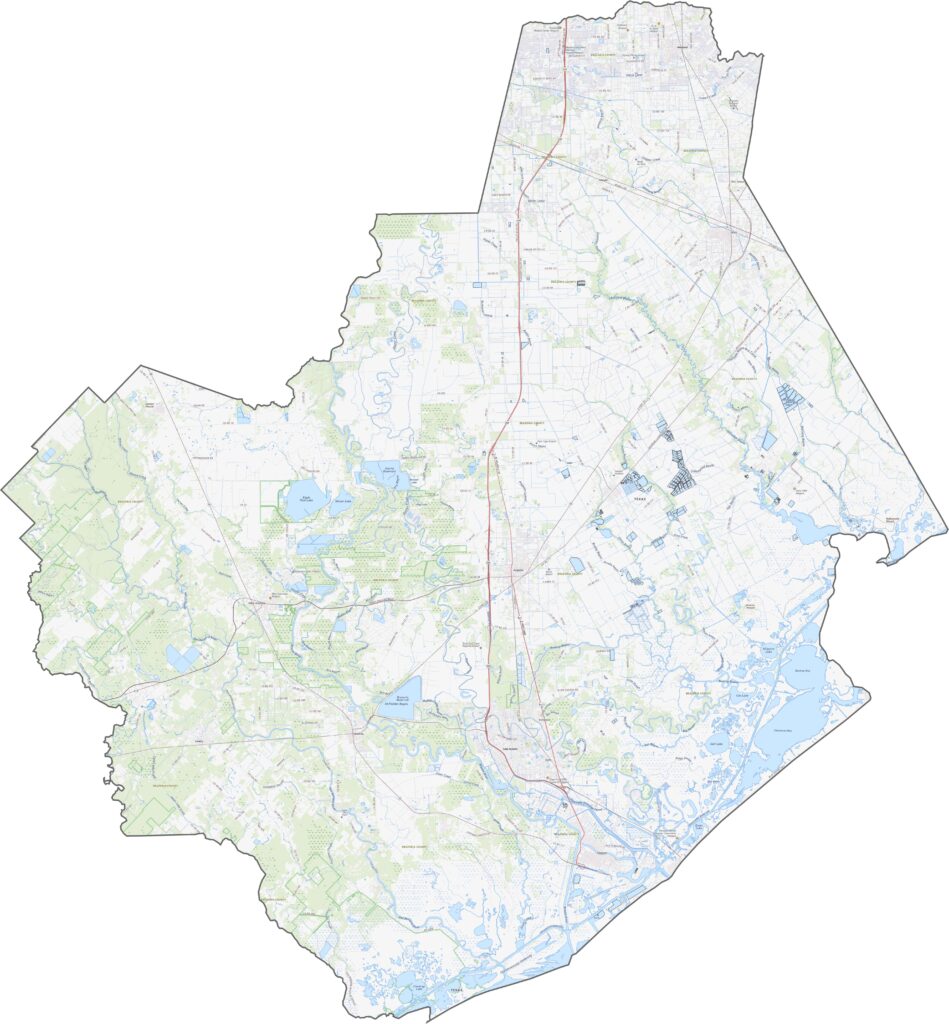
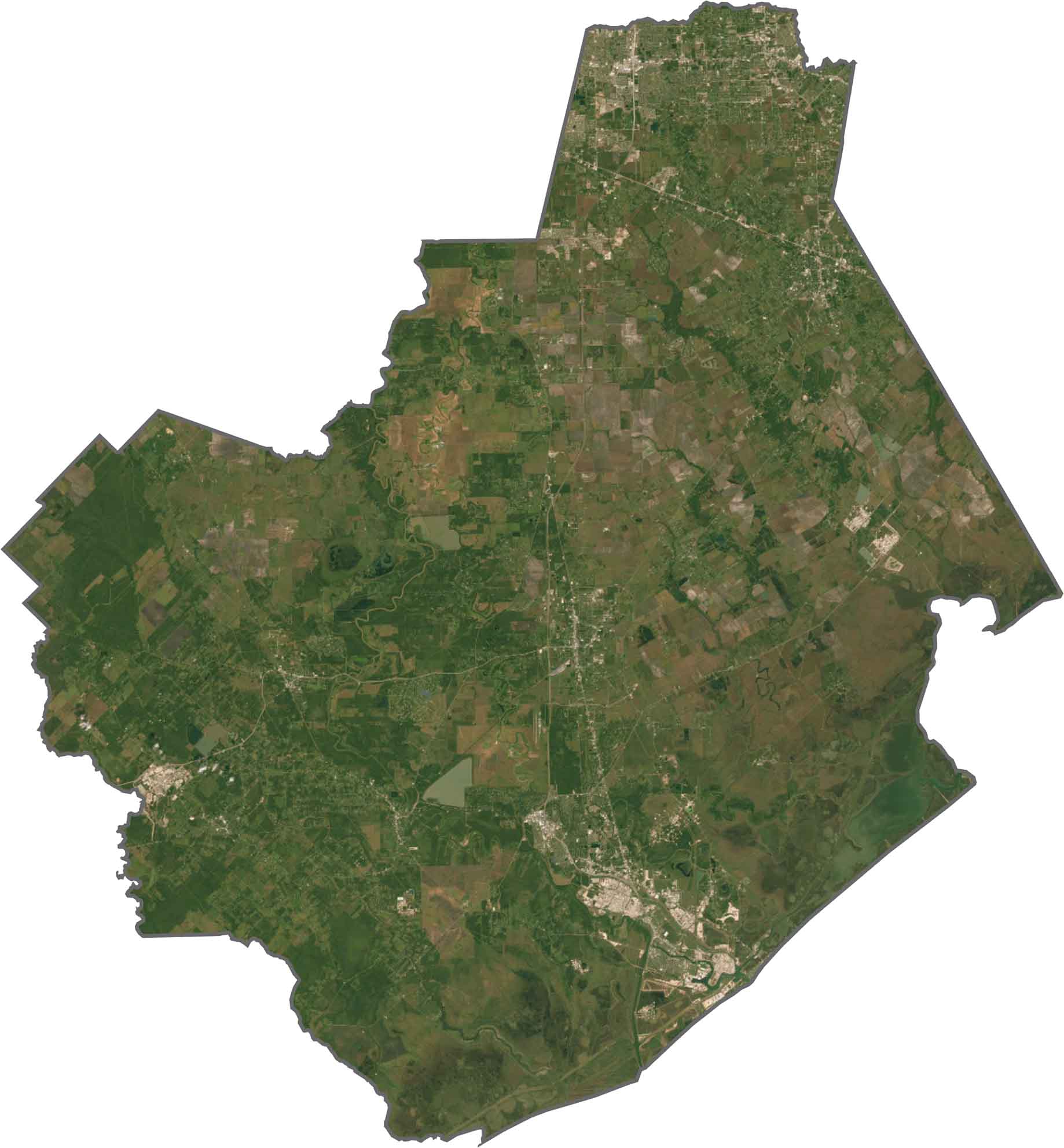
The coastline in the northeast stands out immediately. Farther inland, you’ll see a checkerboard of farmland. The Brazos River cuts a wide path through the county. Although development increases toward the north, the southern part still shows large stretches of green space and water.
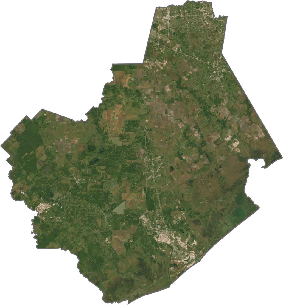
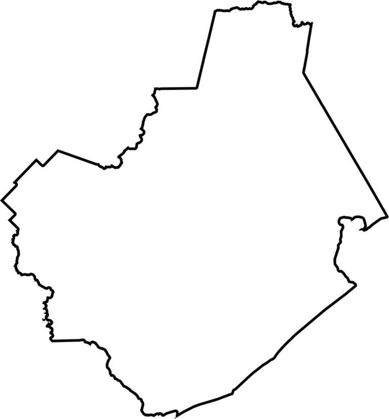
Brazoria County has a broad, uneven shape. The southern edge runs along the coastline. It doesn’t border another state, but it does border the Gulf and several key Texas counties.








Discover all 254 legendary Texas county maps, covering the Lone Star State from the Panhandle to the Rio Grande. That means more rodeos, honky-tonk, and Texas BBQ.