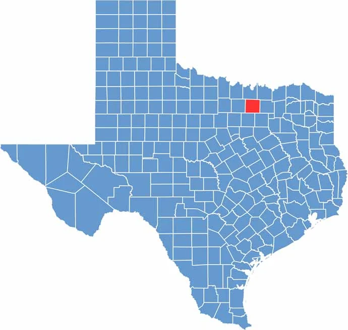
Denton County sits just north of the Dallas-Fort Worth area. The county seat, Denton, is home to two universities: University of North Texas and Texas Woman’s University.
Drive a few miles outside the city, and you’re in horse country. Ranches still dot the landscape, even as the county has grown rapidly in recent years. New subdivisions keep popping up.
Still, there’s plenty of charm in the old town squares. Music is a big deal here, with live shows happening throughout the week. Lake Lewisville becomes a hot spot in summer, bringing boats, beaches, and barbecues. It’s Texas living at its finest.
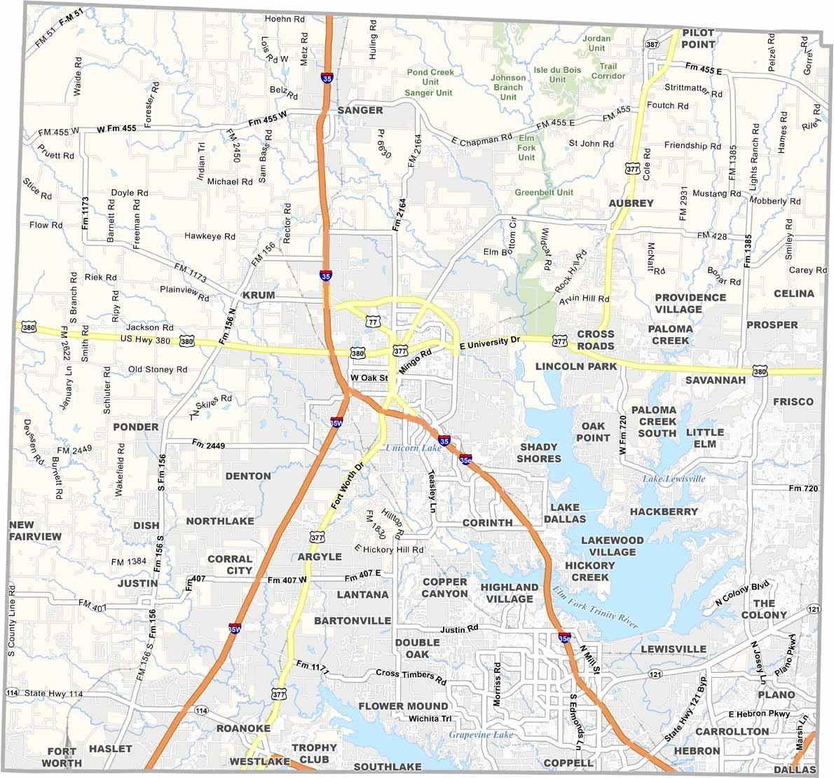
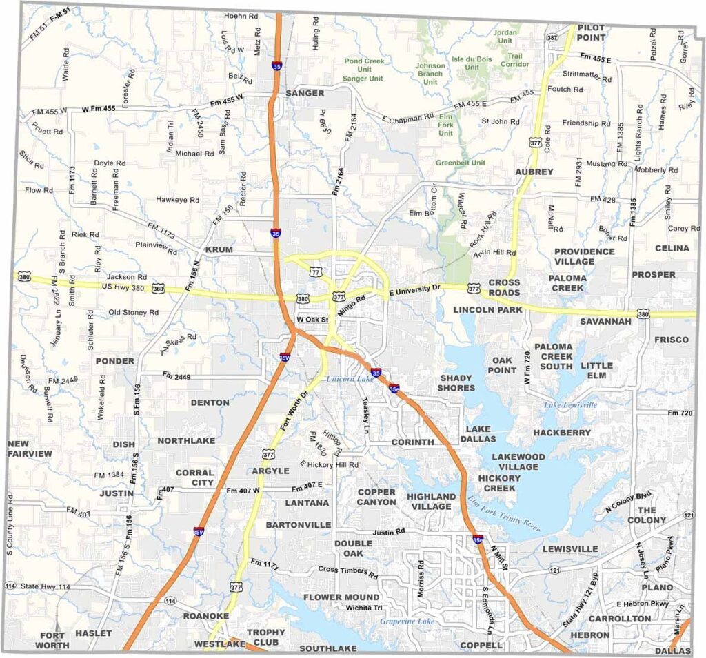
Multiple highways run through Denton County, providing routes to Dallas, Fort Worth, and everything in between. I-35 and U.S. Highway 380 are the main highways here. Find your way around using our road map below.
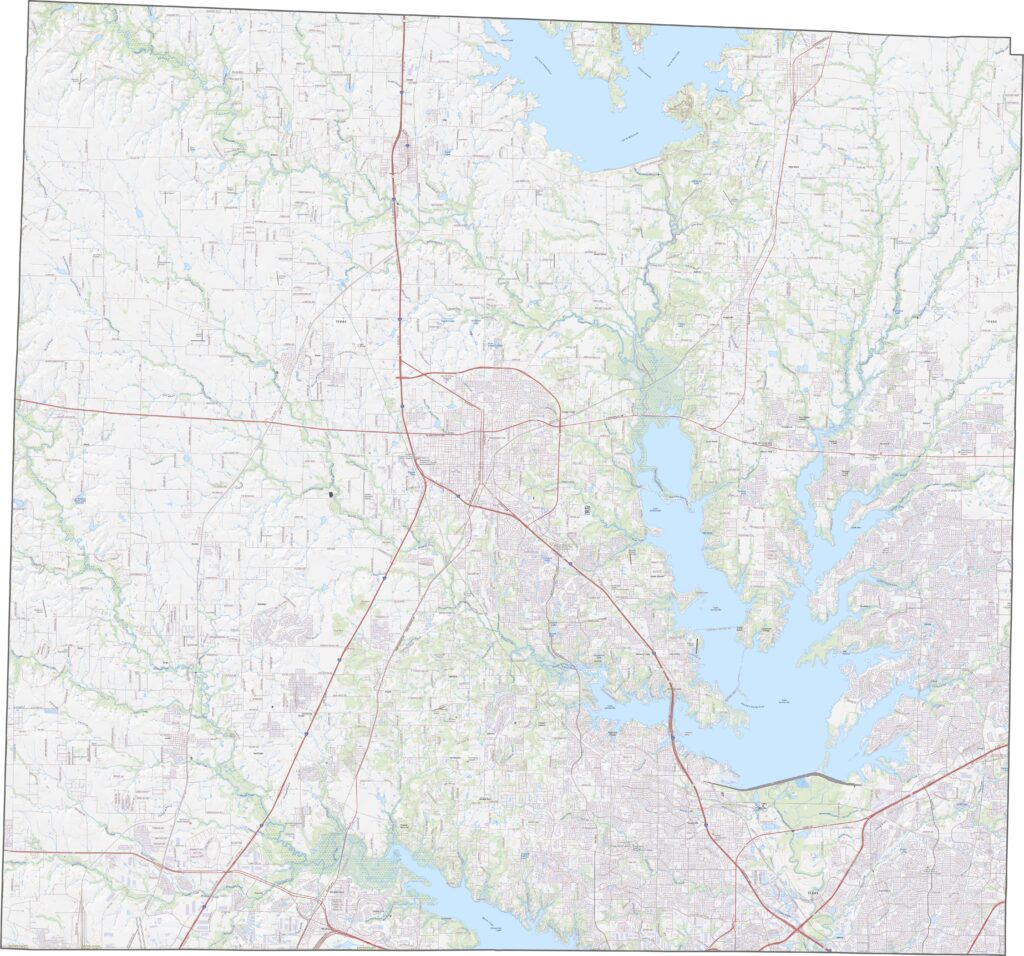
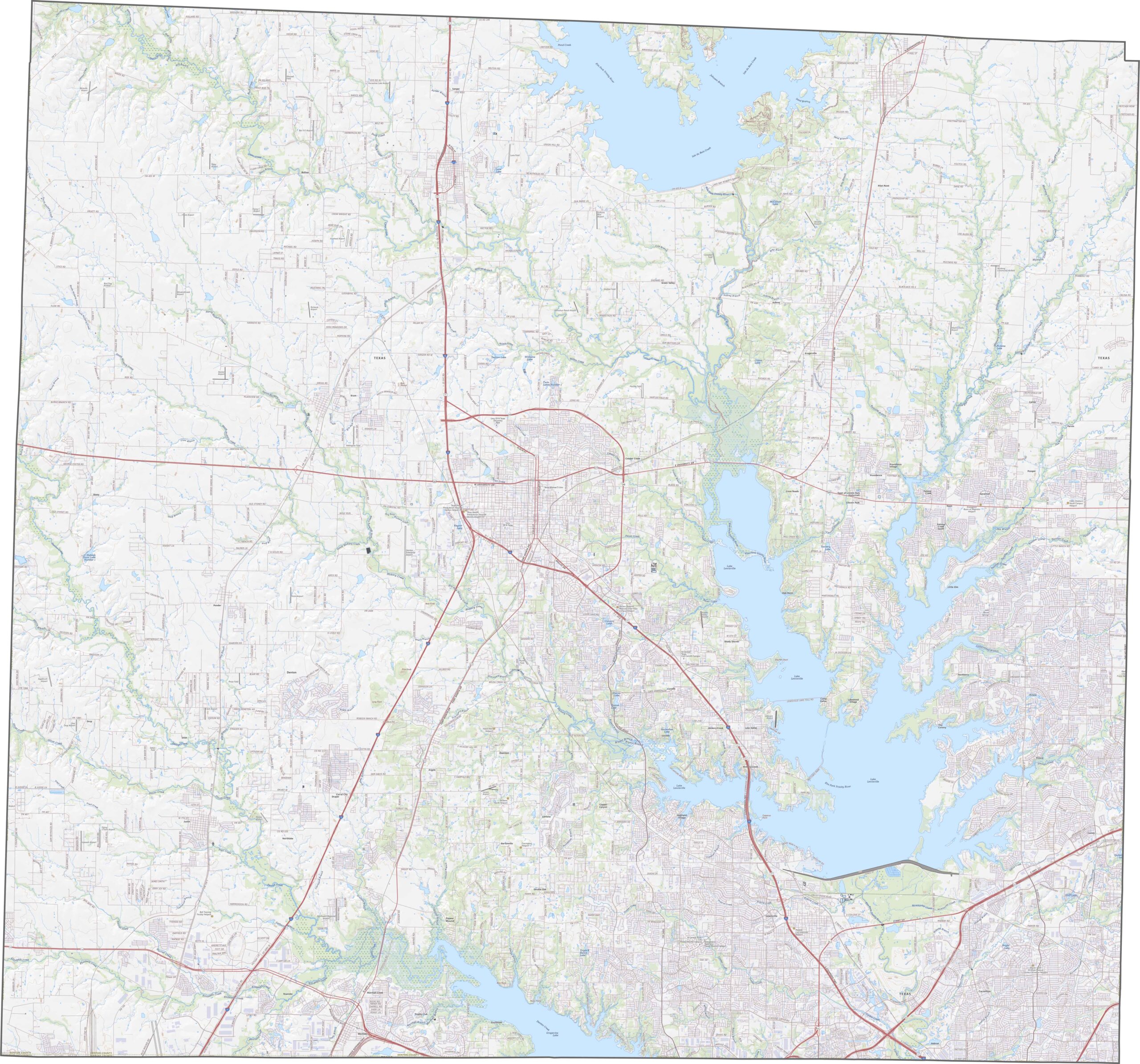
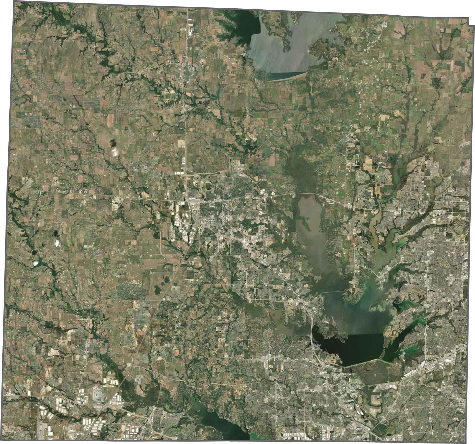
Subdivisions dominate the southern half of the county. But head north, and the scene changes. There are fewer houses and more open land. Lewisville Lake is the most prominent feature in the east.
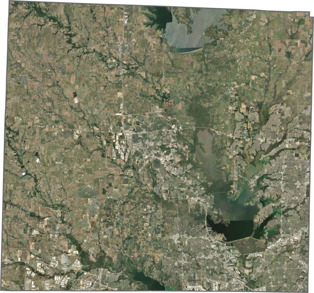
Denton County has a shape that is nearly a perfect square. The boundaries are mostly straight, with very few curves along the edges.