
El Paso County sits at the westernmost tip of Texas, right along the New Mexico and Mexico borders. It’s a place of contrasts. With more than 800,000 residents, it’s one of the most populous counties in the state.
Despite its size, El Paso County still has a close-knit community feel. El Paso serves as the county seat and has a rich cultural heritage. The Franklin Mountains run through the county, creating a stunning backdrop against the urban landscape. It’s hot here. Really hot. But the views are worth it.
The Rio Grande forms the county’s southern border, separating it from Ciudad Juárez, Mexico. Fort Bliss, one of the largest military complexes in the U.S., is located here. The food scene is incredible. You haven’t lived until you’ve tried the local Tex-Mex.
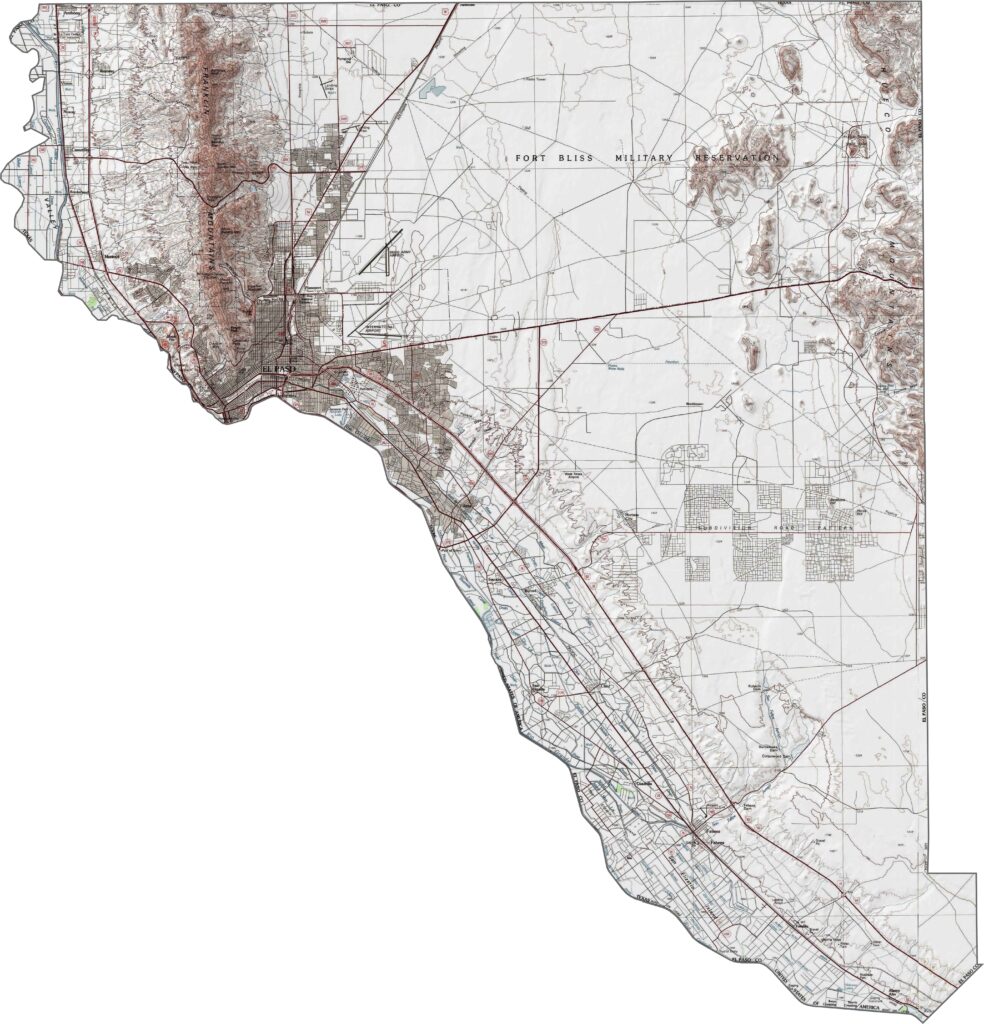
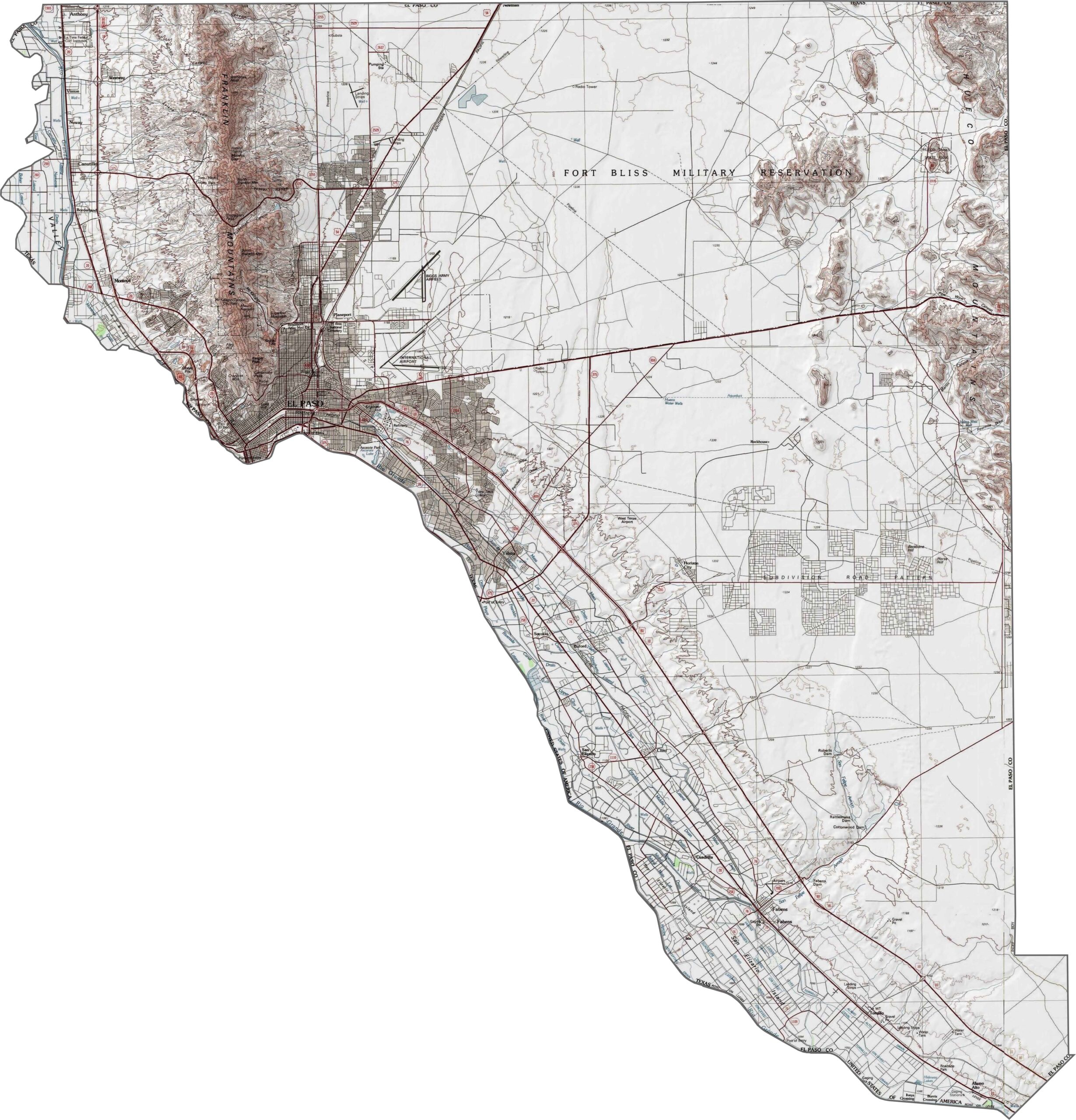
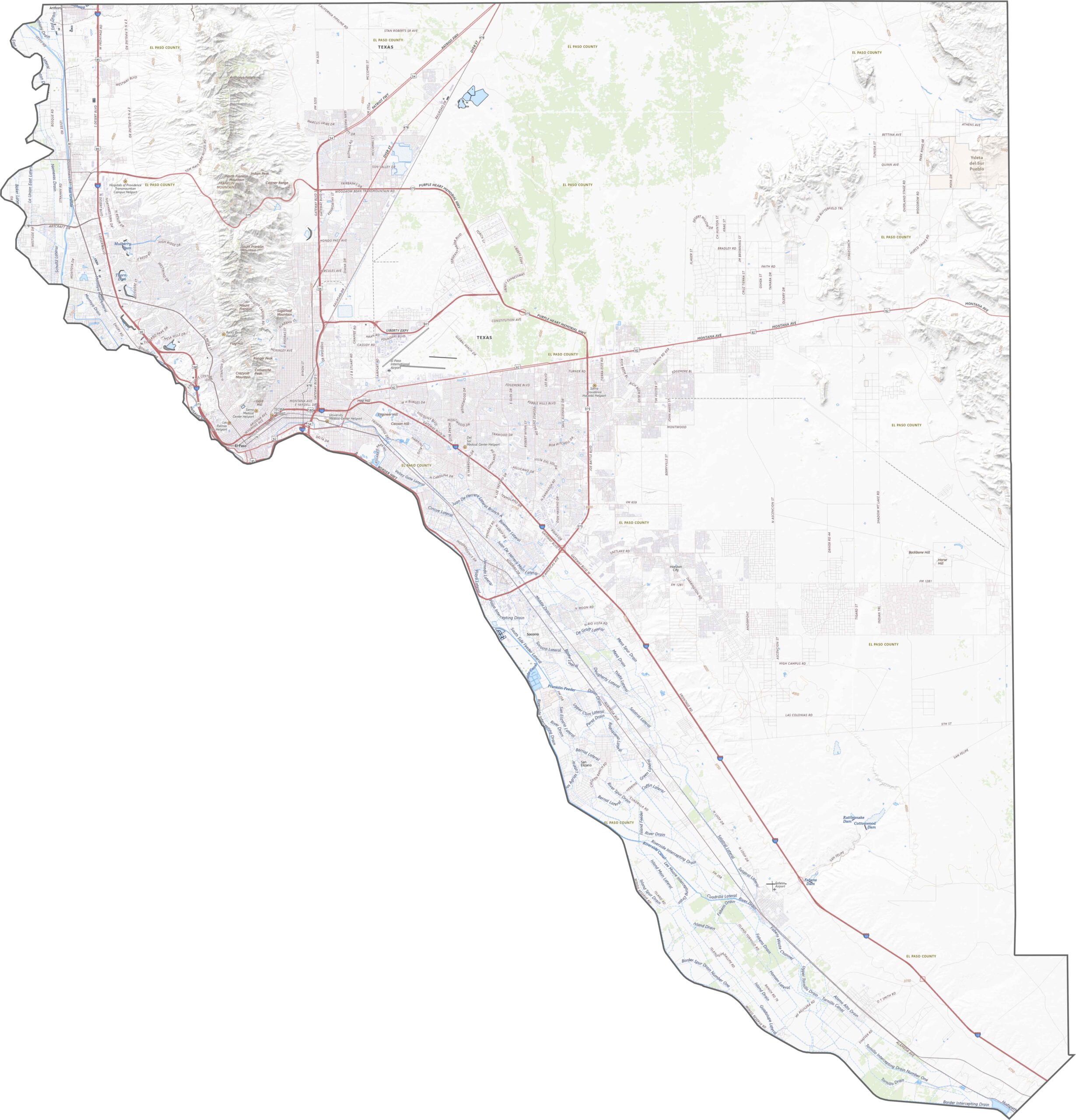
El Paso County stands out for its Franklin Mountains, which cut through the northwest. It’s one of the few counties in Texas with true mountain peaks. Elevation changes are steep, and the terrain is rugged. Flat desert plains stretch across the east and south, but the mountains dominate the northwest.
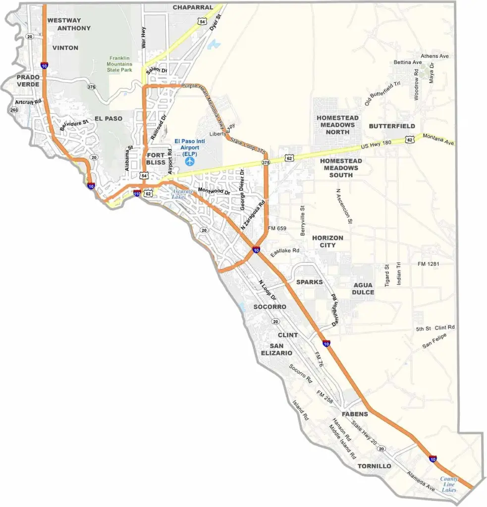
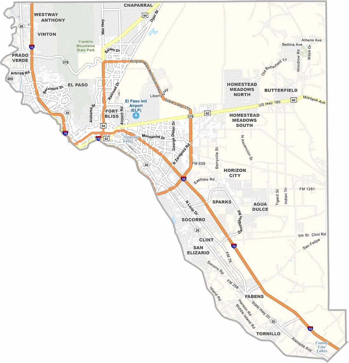
El Paso County’s highways pass through mountain gaps, desert flats, and border crossings. I-10 is the main route, traveling diagonally across the county. Roads play a major role in navigating this challenging landscape. For a full view of the layout, try our zoom tool.
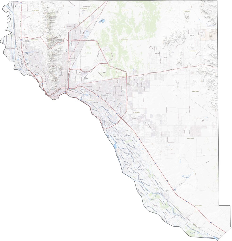
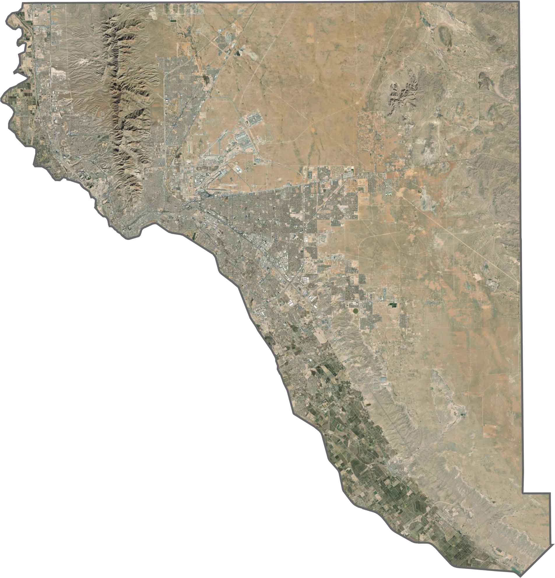
The City of El Paso wraps around the base of the Franklin Mountains. From above, there’s a sharp contrast between dark rock and pale desert. To the east, the landscape opens into light brown, dry, and mostly empty terrain.
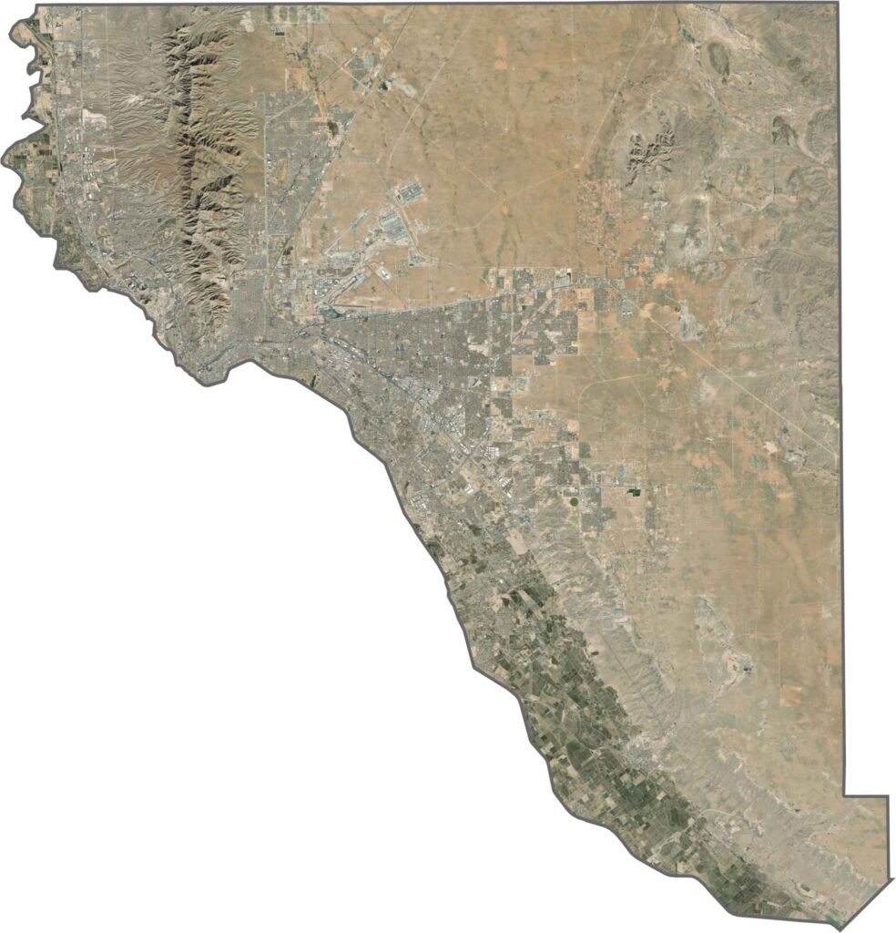
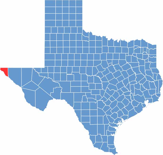
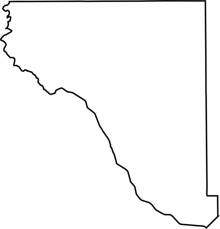
El Paso County has a long, triangular shape pressed against the western edge of Texas. It borders both New Mexico and Mexico. The Rio Grande forms part of the southern border, while the rest follows straight lines. It’s the farthest west corner of Texas.








Discover all 254 legendary Texas county maps, covering the Lone Star State from the Panhandle to the Rio Grande. That means more rodeos, honky-tonk, and Texas BBQ.