
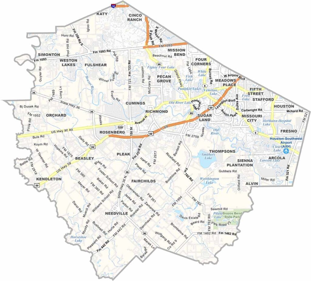
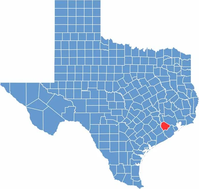
Fort Bend County is located just southwest of Houston. It’s one of the fastest-growing counties in the state. Sugar Land, its largest city, was once a company town for Imperial Sugar. Today, it’s a booming suburb.
The county is incredibly diverse. It’s often described as the most ethnically diverse county in Texas. The Brazos River winds through the area, shaping the landscape. George Ranch Historical Park offers a glimpse into the county’s ranching past. It’s pretty cool.
Fort Bend was one of the original Texas counties, created when Texas was still an independent country. These days, it’s a mix of suburban sprawl and rural charm. You can find world-class restaurants and working farms within a few miles of each other. It’s a place of contrasts.
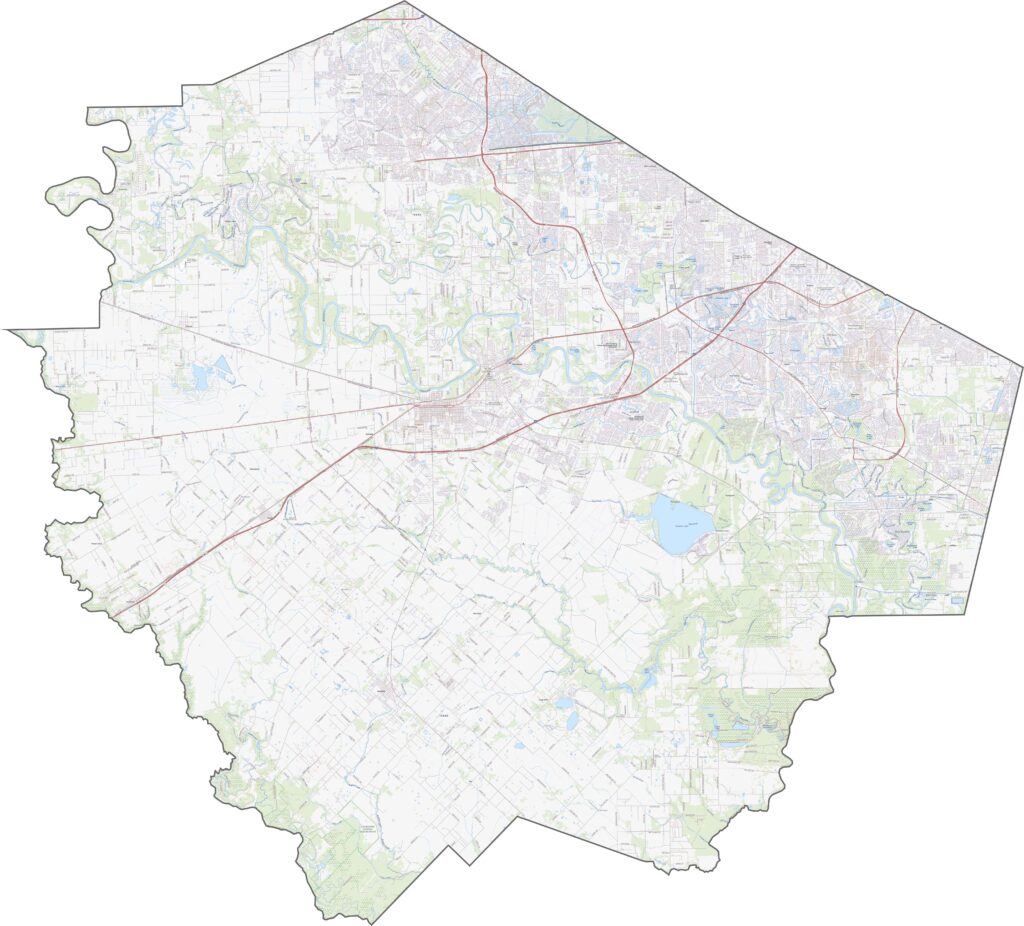
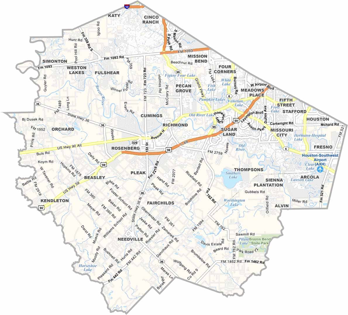
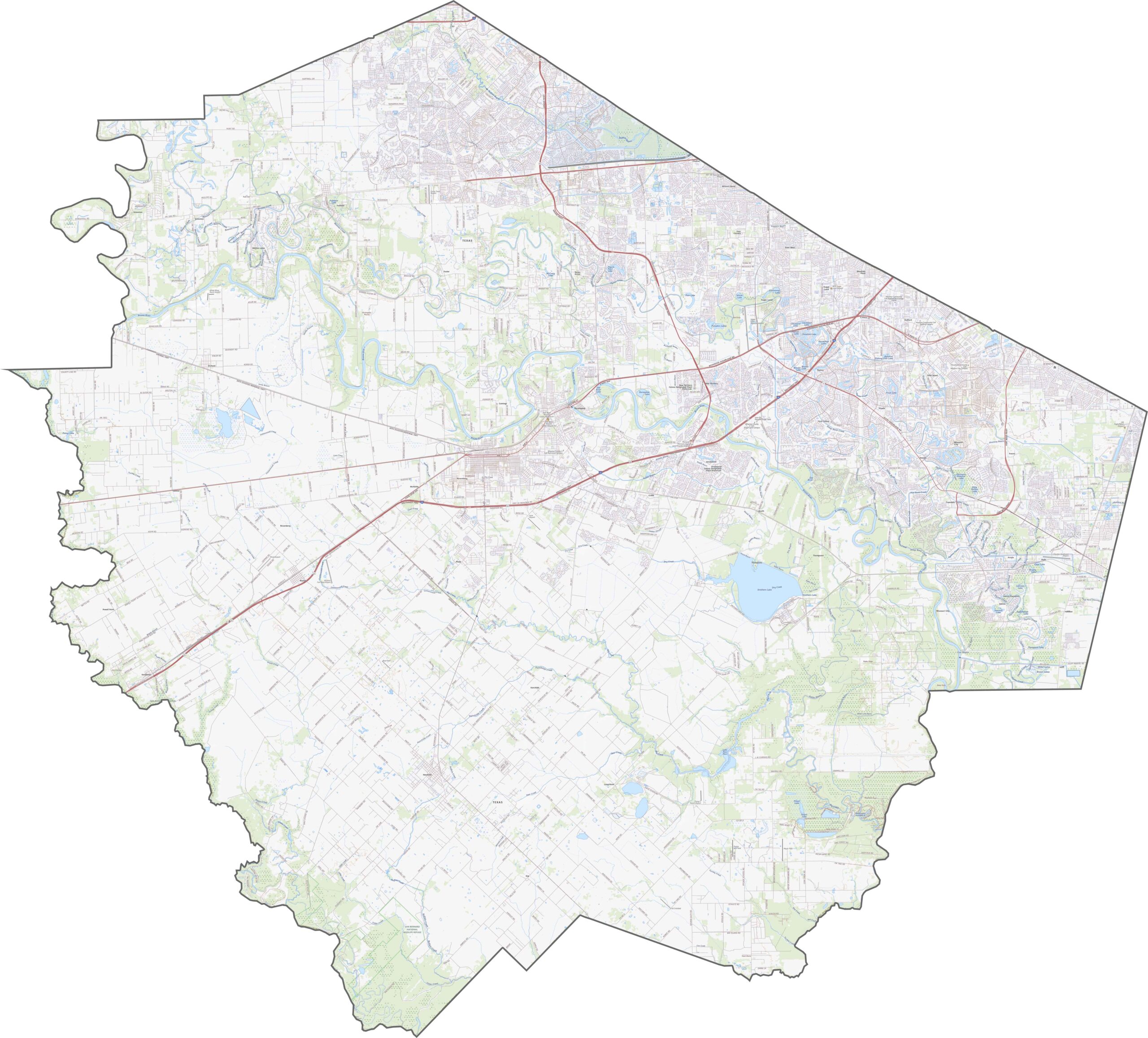
Fort Bend County’s highways are built for movement, and there’s plenty of it. Although traffic can be thick, there’s still room to spread out westward. The farther you go, the less crowded it feels. Explore our road map with the zoom tool.
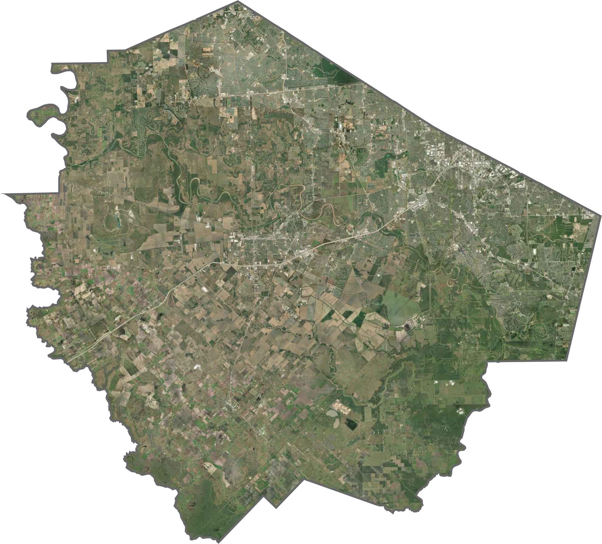
From above, the difference is clear. Subdivisions dominate the east, with tight road networks. But west of the Brazos, the density fades. Farmland reappears, along with ranches and open space. The Brazos River itself cuts through the county.
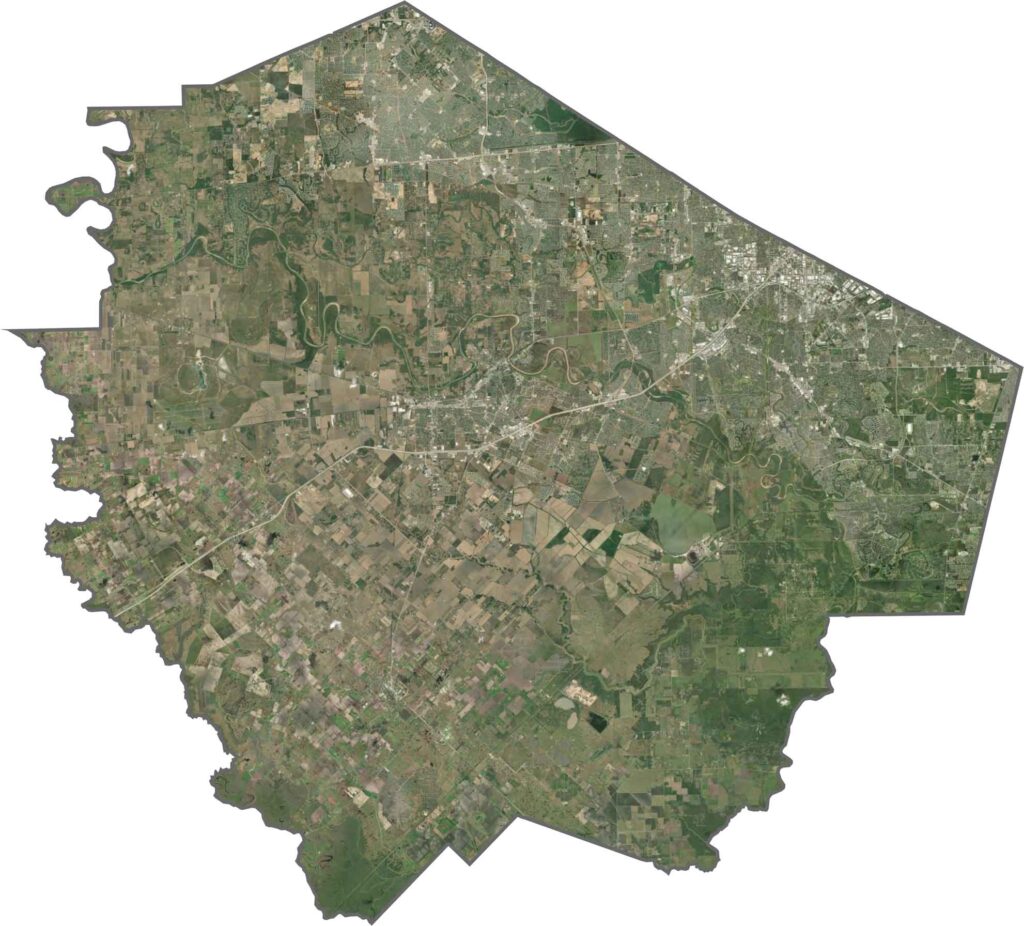
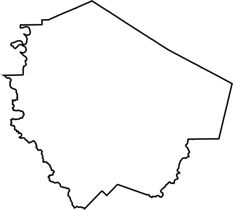
Fort Bend County has a stretched, irregular shape. The Brazos and San Bernard Rivers form the western part of the outline. It borders no other states, but it wraps around the southwest side of the Houston area.








Discover all 254 legendary Texas county maps, covering the Lone Star State from the Panhandle to the Rio Grande. That means more rodeos, honky-tonk, and Texas BBQ.