
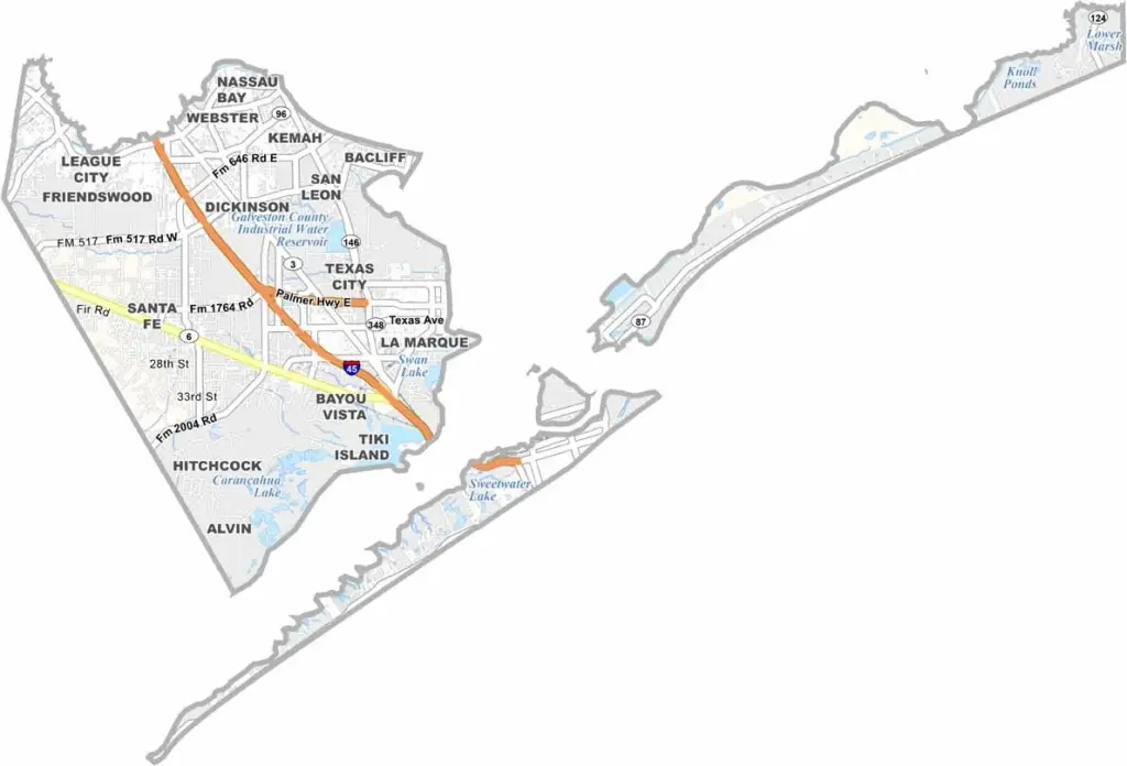
Sun, sand, and sea breezes. That’s Galveston County for you. Located on the Gulf Coast just southeast of Houston, the county is best known for the island city of Galveston, with its historic Strand district and miles of beaches.
But there’s more to the county than vacation vibes. Texas City has one of the biggest ports in the state, while NASA’s Johnson Space Center also sits partly within the county. Fishing is both big business and big fun, whether you’re casting from piers, boats, or right off the beach.
Hurricanes are a fact of life here. The 1900 storm nearly wiped Galveston off the map. These days, a massive seawall helps keep the Gulf at bay. The county blends old and new, with everything from Victorian mansions to modern beach houses.
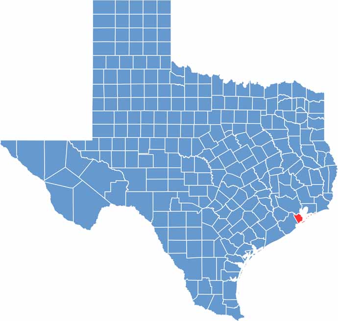
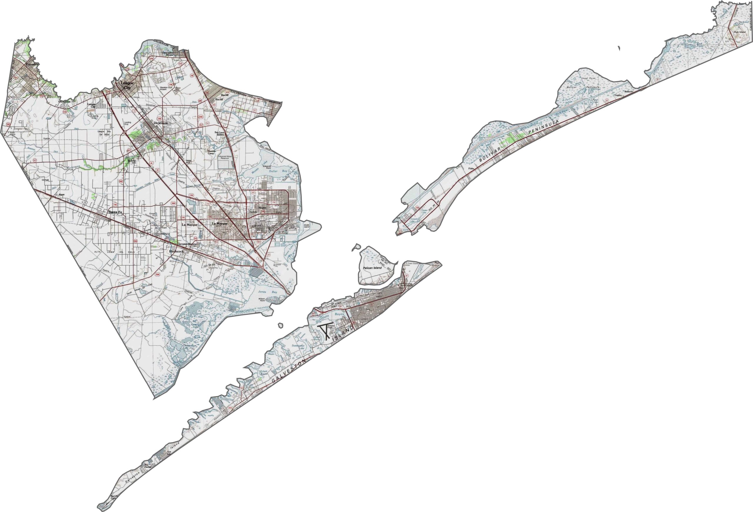
Galveston County is about as flat as Texas gets. Its defining feature is its low coastal elevation, with much of the county sitting at or just above sea level. Sandbars, estuaries, and salt marshes shape the landscape.
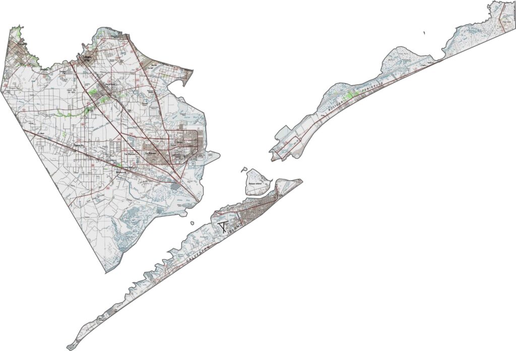
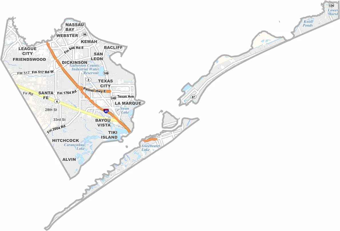
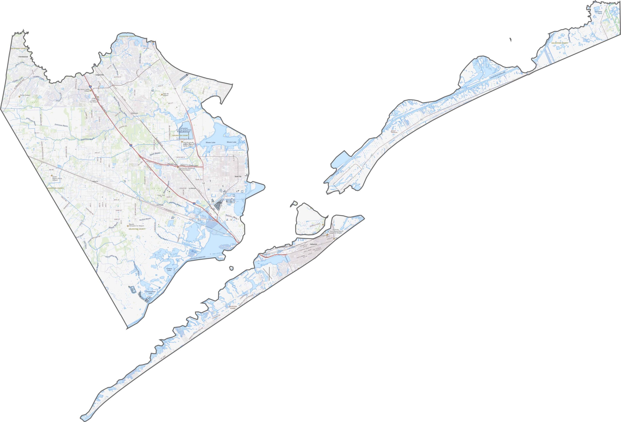
Galveston County’s roads are built around water. Highways run the length of barrier islands, while I-45 cuts diagonally through the county. Zoom in on our road map and take a closer look.
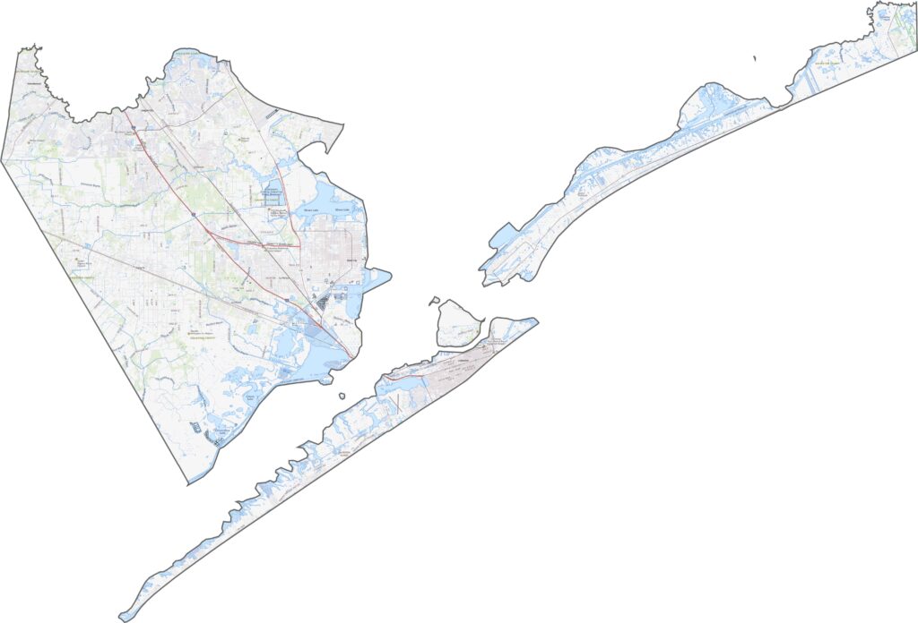
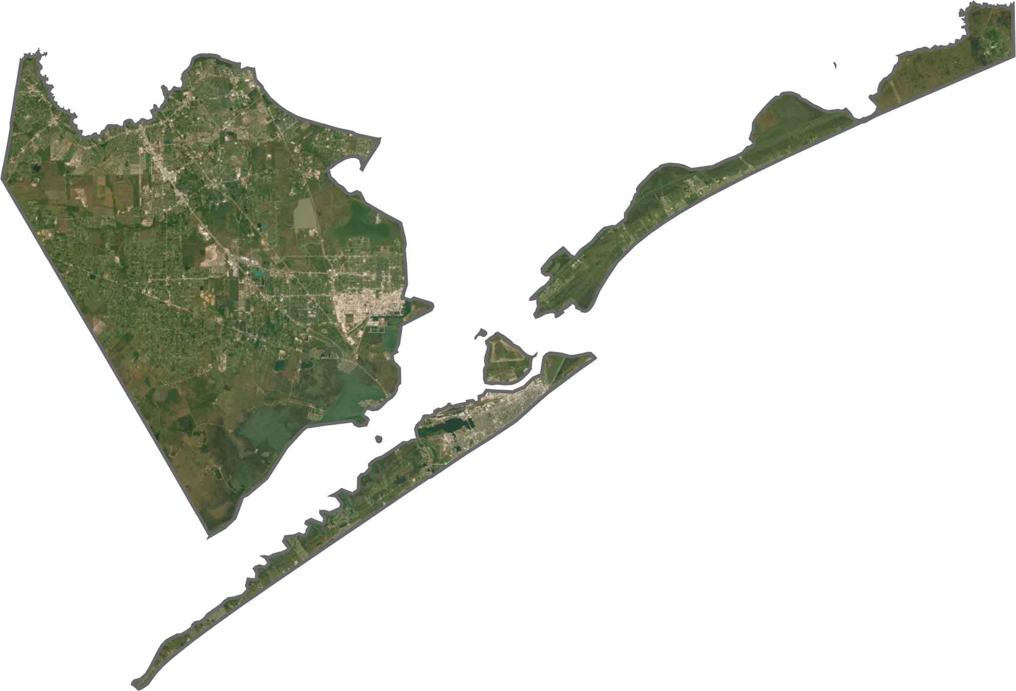
You can’t miss the beaches and long barrier islands lining the Gulf coastline. Inland, suburban development is heavy near the bay, but farmland returns as you move north.
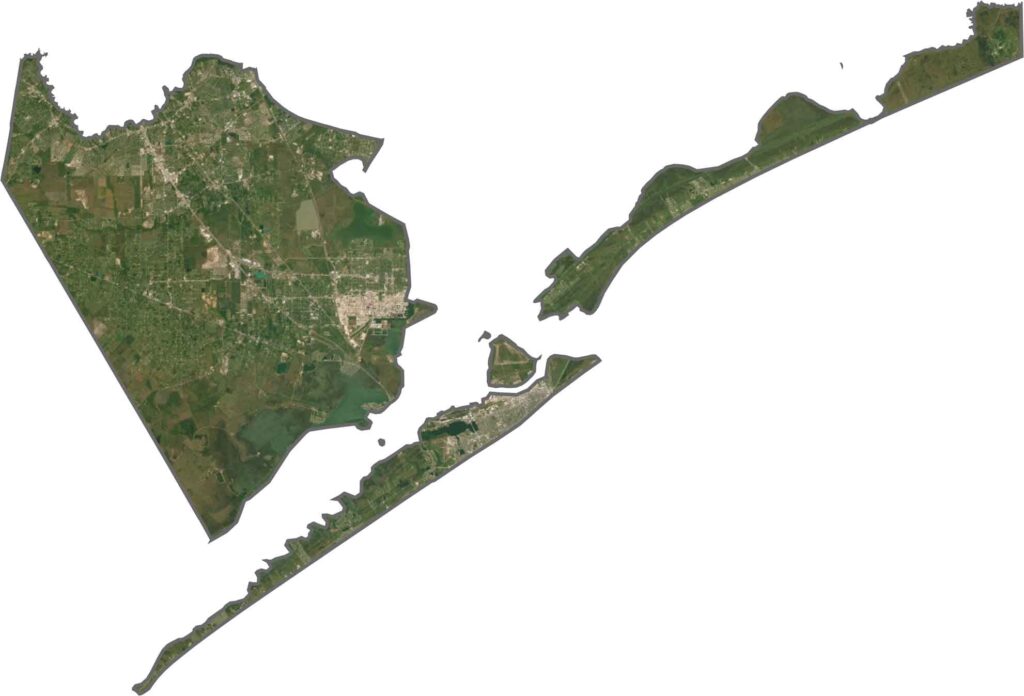
Galveston County looks like two counties in one. It’s part island and part mainland. It borders the Gulf coastline to the south and hugs Galveston Bay to the east. The shape is long and stretched, with plenty of coastline.








Discover all 254 legendary Texas county maps, covering the Lone Star State from the Panhandle to the Rio Grande. That means more rodeos, honky-tonk, and Texas BBQ.