
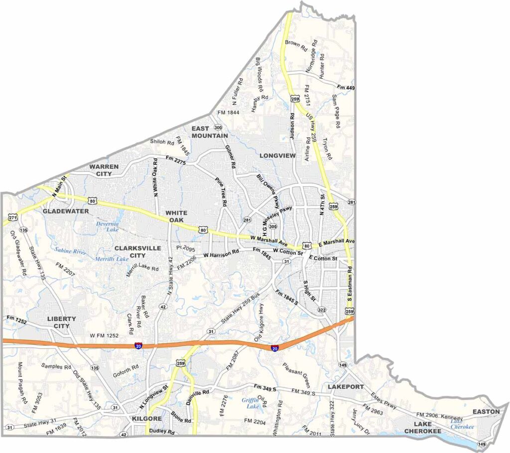
Gregg County sits in the Piney Woods of East Texas. Longview is the county seat and is known for its Great Texas Balloon Race, a colorful spectacle that lights up the sky every year.
The county has deep roots in the oil industry, dating back to the East Texas Oil Boom of the 1930s. Lake Cherokee is a popular spot for fishing and boating. The county is also home to LeTourneau University, a private Christian institution.
Kilgore, another city in the county, is famous for its oil history and the Kilgore College Rangerettes. The local economy is diverse, with healthcare and education playing major roles. Gregg County is where tradition meets progress.
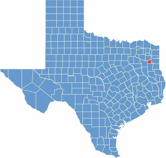
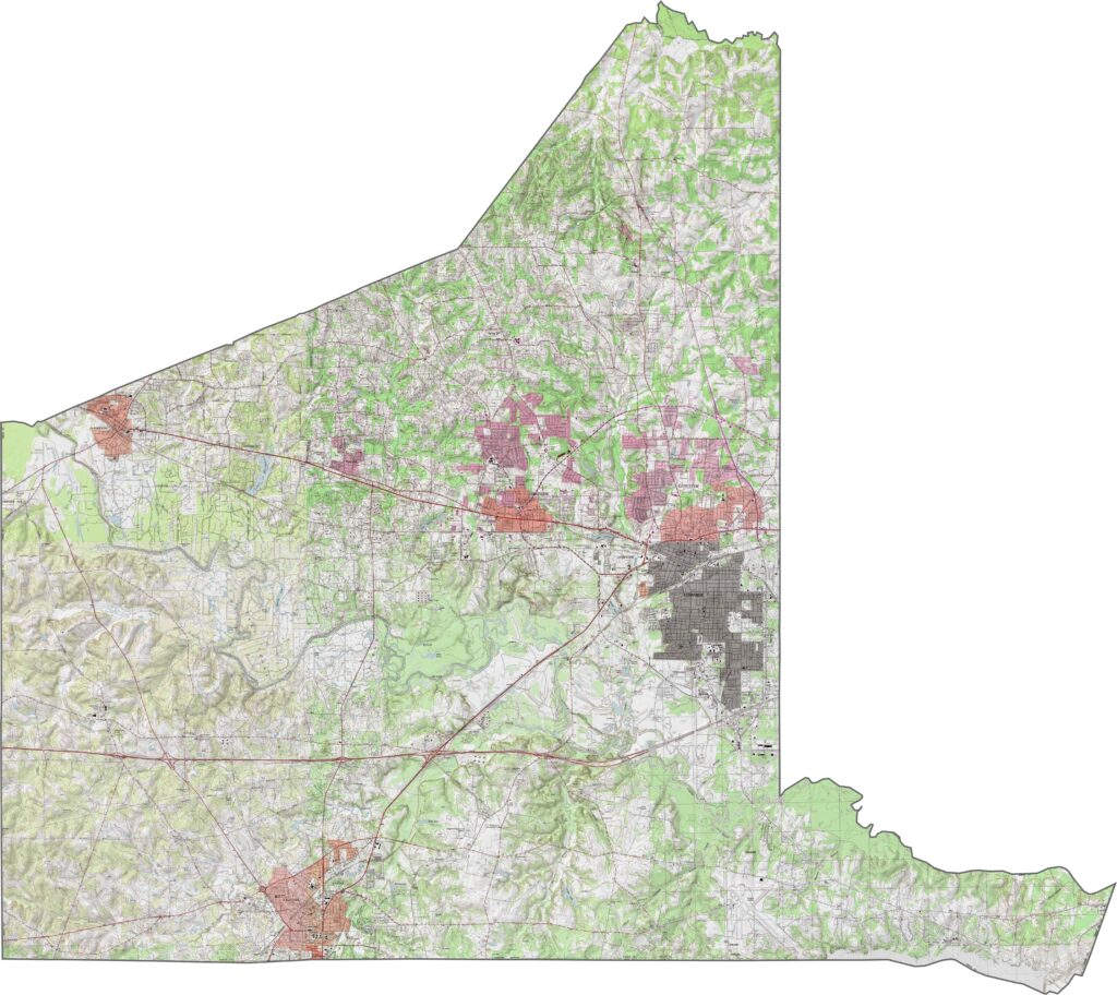
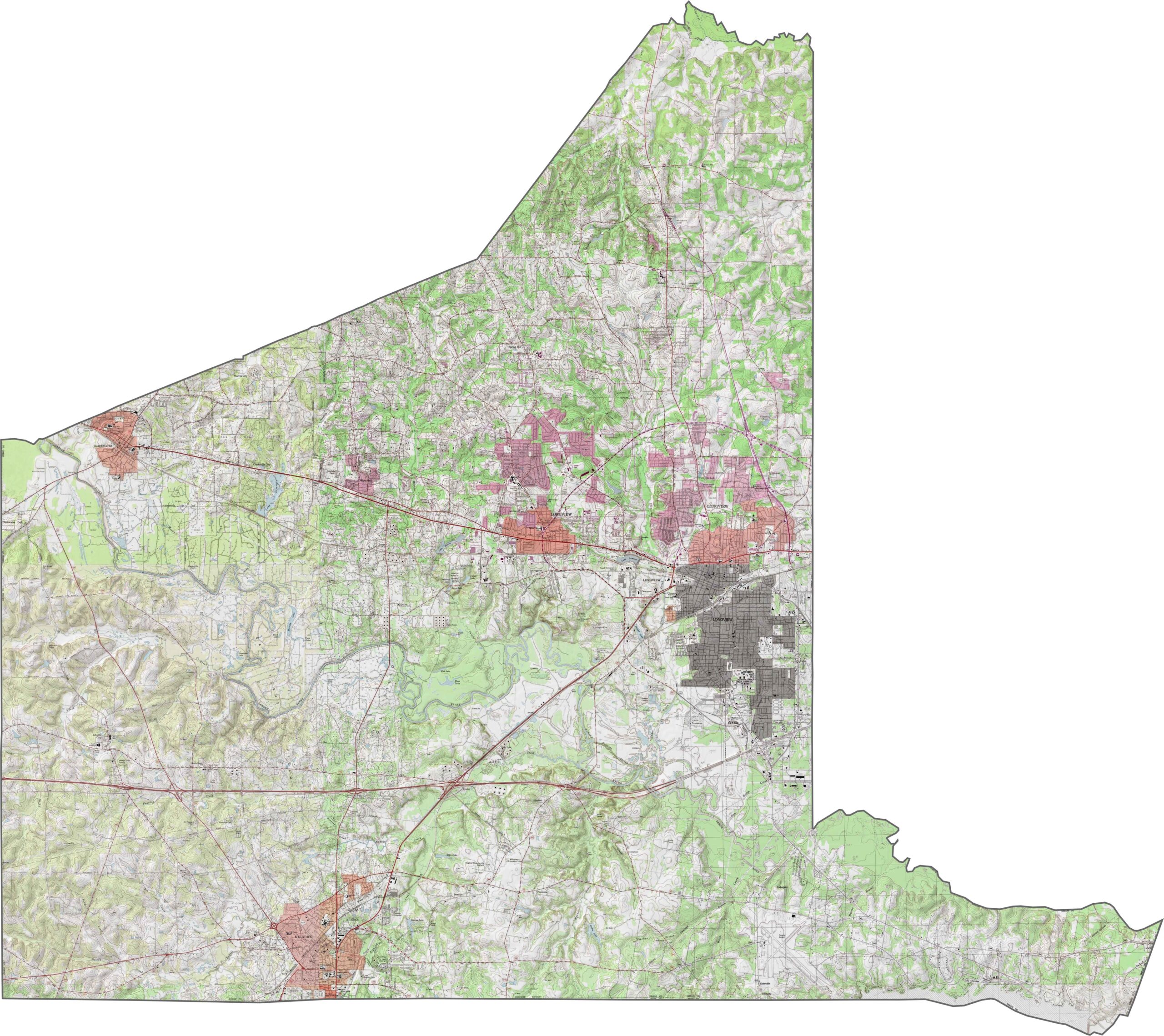
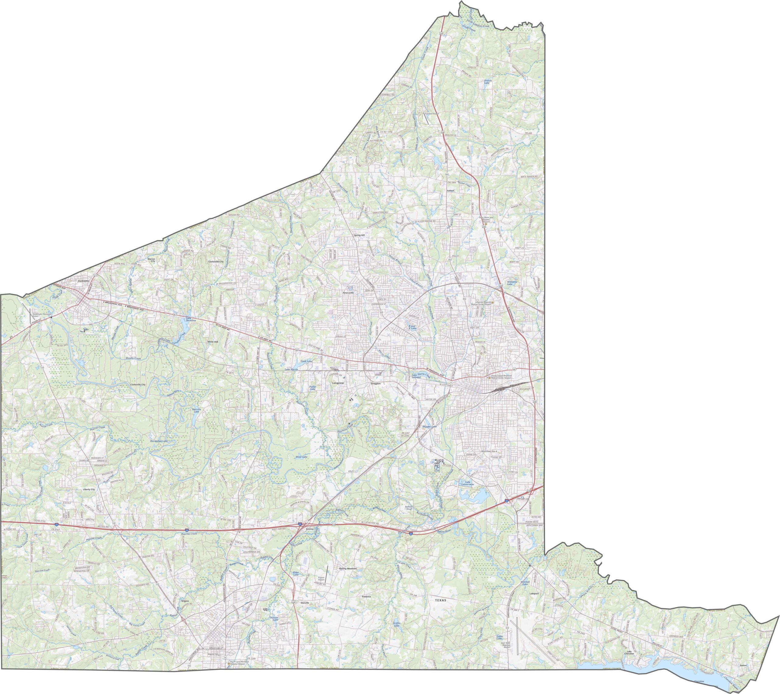
This is East Texas pine country, and the landscape reflects it. Gregg County is gently rolling, with forested ridges and creek valleys shaping the terrain. Elevation changes are modest but frequent. Try our new zoom tool below to explore Gregg County in more detail.
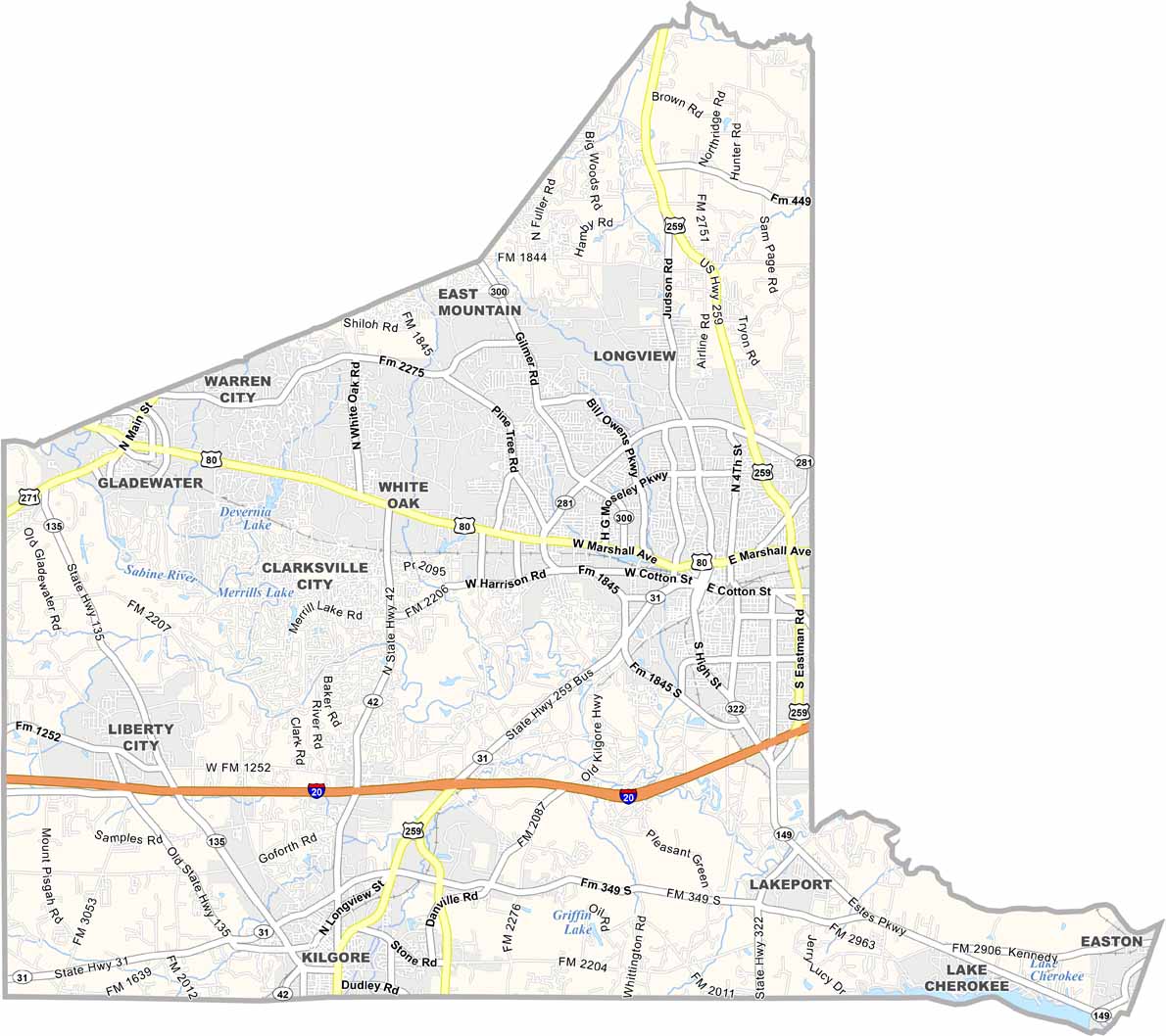
Gregg County’s highways form a functional network. Most roads center around Longview, including I-20, U.S. 80, and U.S. 59. Although it’s not a massive county, the density of roads makes it easy to get around.
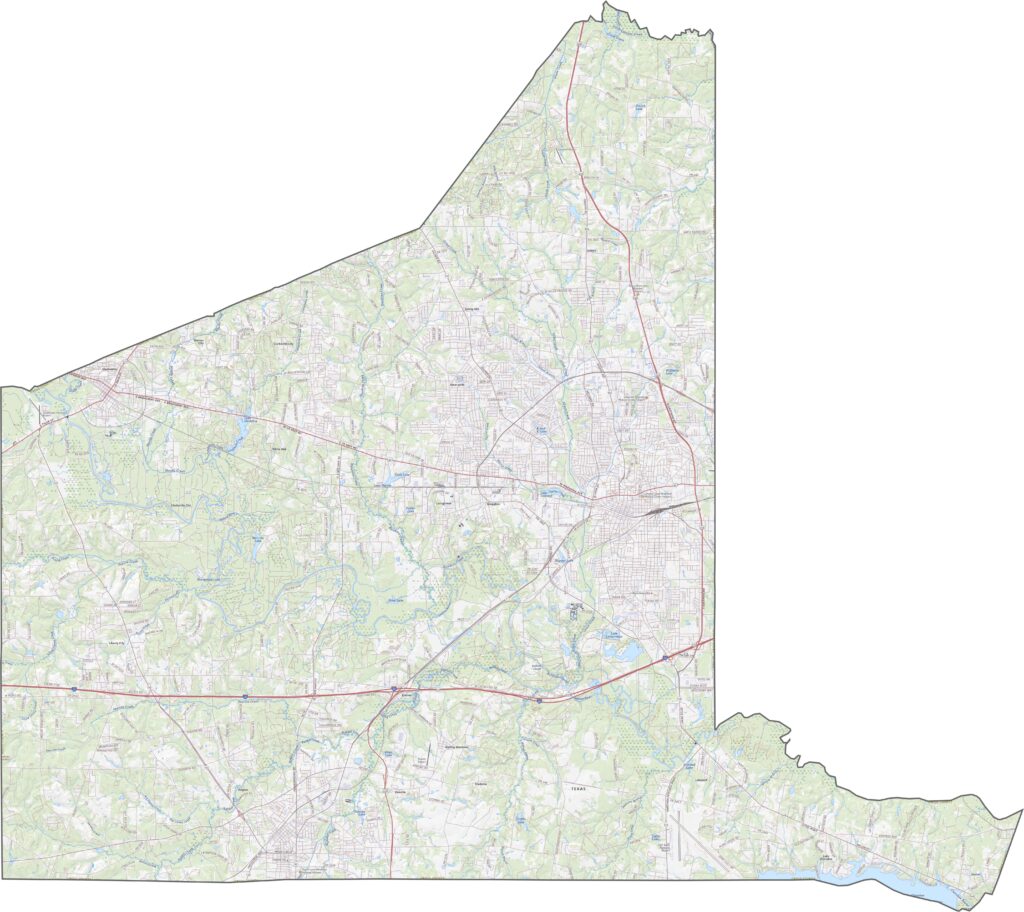
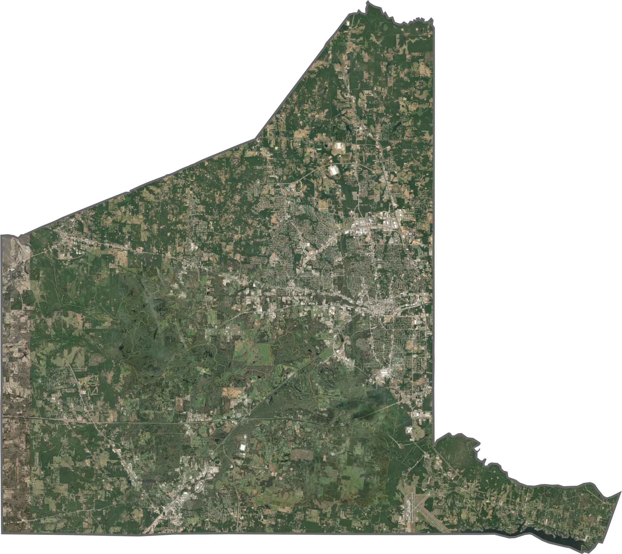
Longview stands out as a dense, developed center surrounded by green. But really, forests dominate the satellite map. The coverage is patchy in some areas and continuous in others.
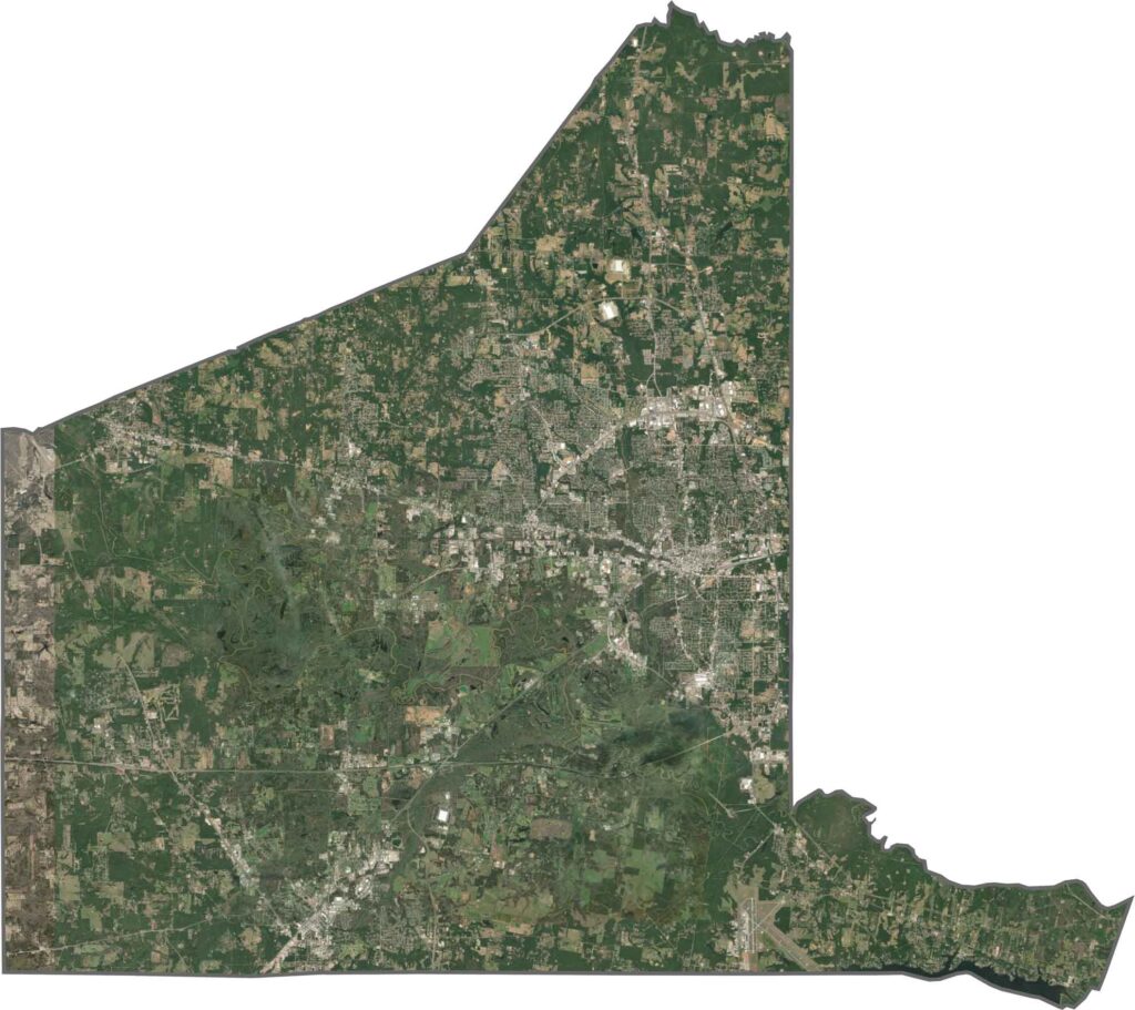
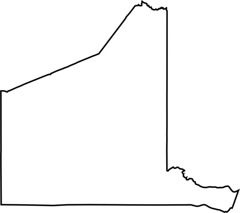
Gregg County is compact and boxy, with a tail sticking out from the southeastern corner. It doesn’t touch another state, just neighboring counties in East Texas. The outline is mostly made up of survey lines. The Sabine River and Lake Cherokee form its southeastern edge.








Discover all 254 legendary Texas county maps, covering the Lone Star State from the Panhandle to the Rio Grande. That means more rodeos, honky-tonk, and Texas BBQ.