
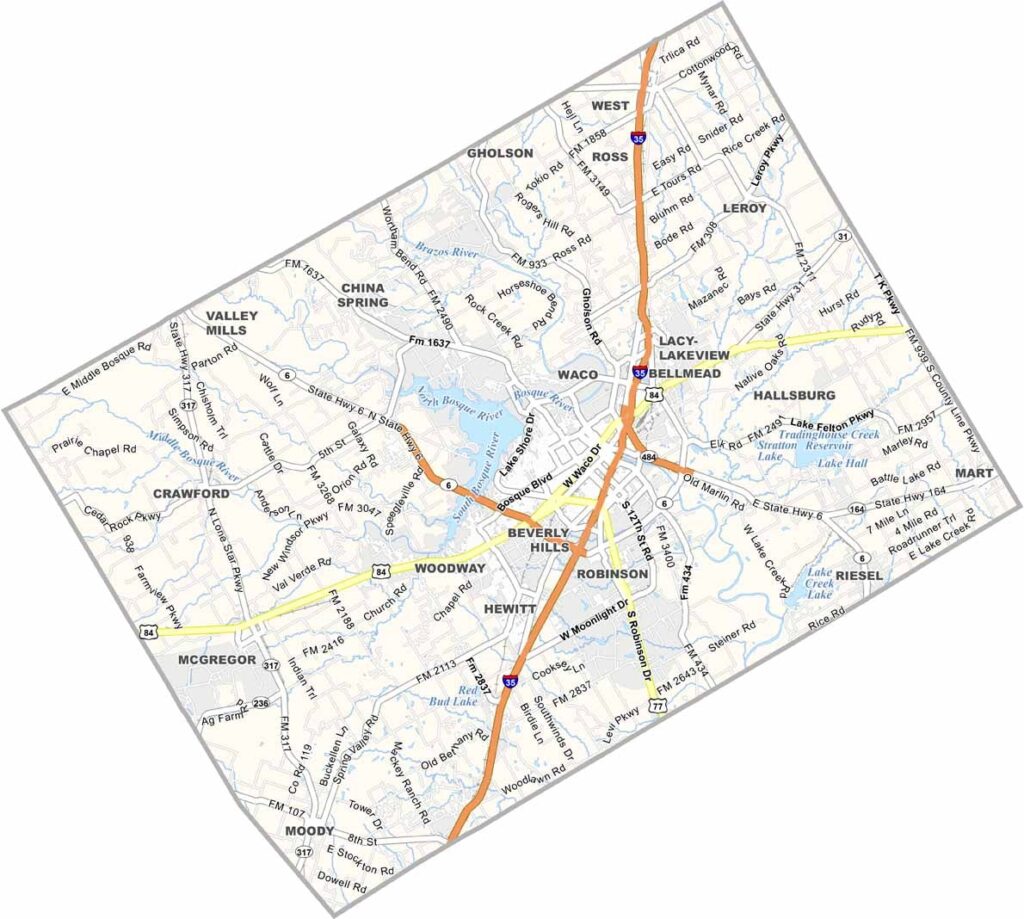
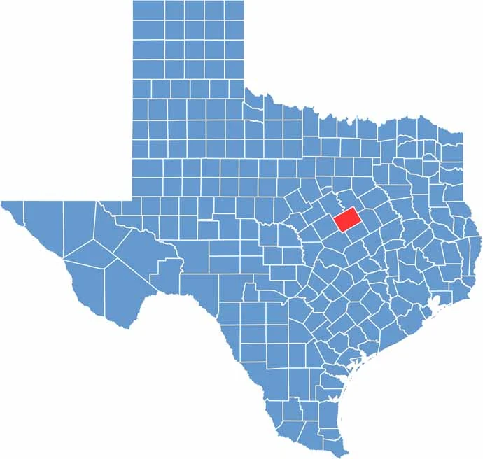
McLennan County sits right in the heart of Texas. It’s home to Waco, a city you’ve probably heard of. The Waco Mammoth National Monument features mammoth fossils, offering a fascinating look at the huge creatures that once roamed the area.
The county combines city life with wide-open country. Summers are hot, y’all. Locals beat the heat with sweet tea and swimming holes. The Brazos River runs through the county, providing plenty of places to fish or simply relax by the water.
Baylor University brings a young energy to the area and keeps things lively. Chip and Joanna Gaines also helped put Waco on the map with their home renovation show. Visitors can explore the Texas Ranger Hall of Fame and Museum. All in all, McLennan County is a piece of Texas worth exploring.
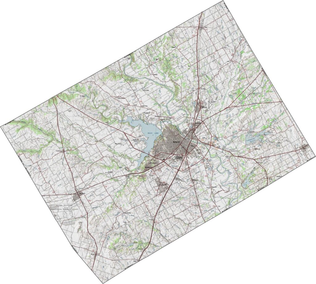
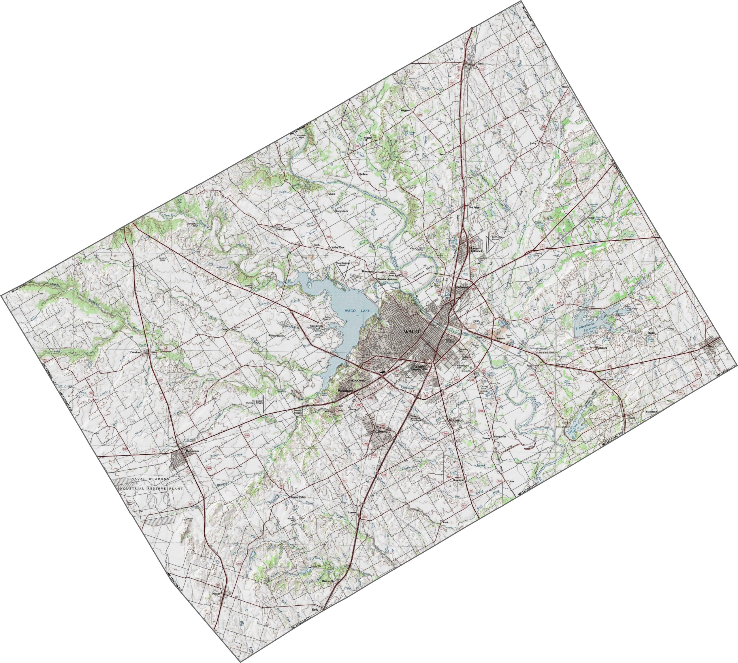
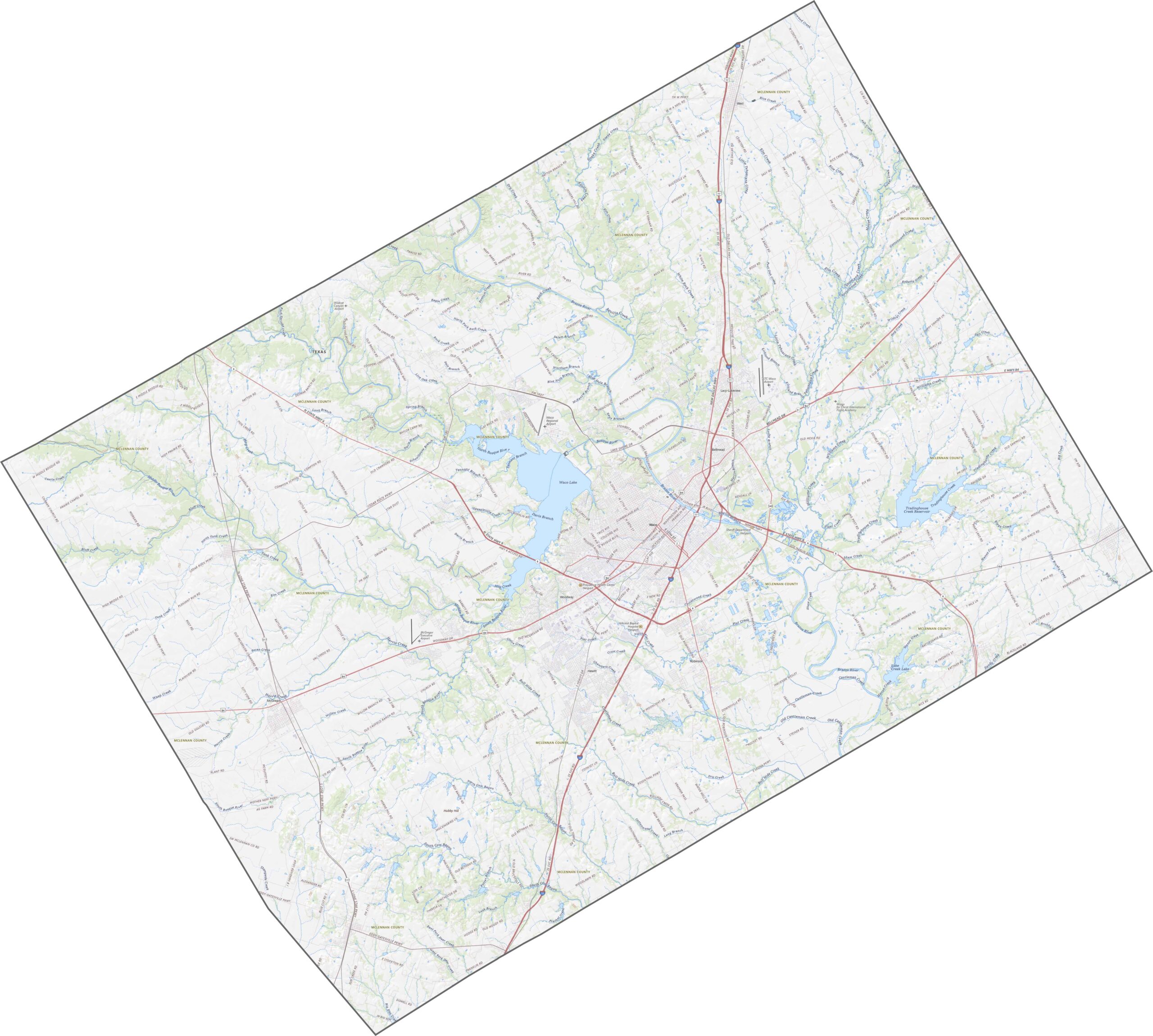
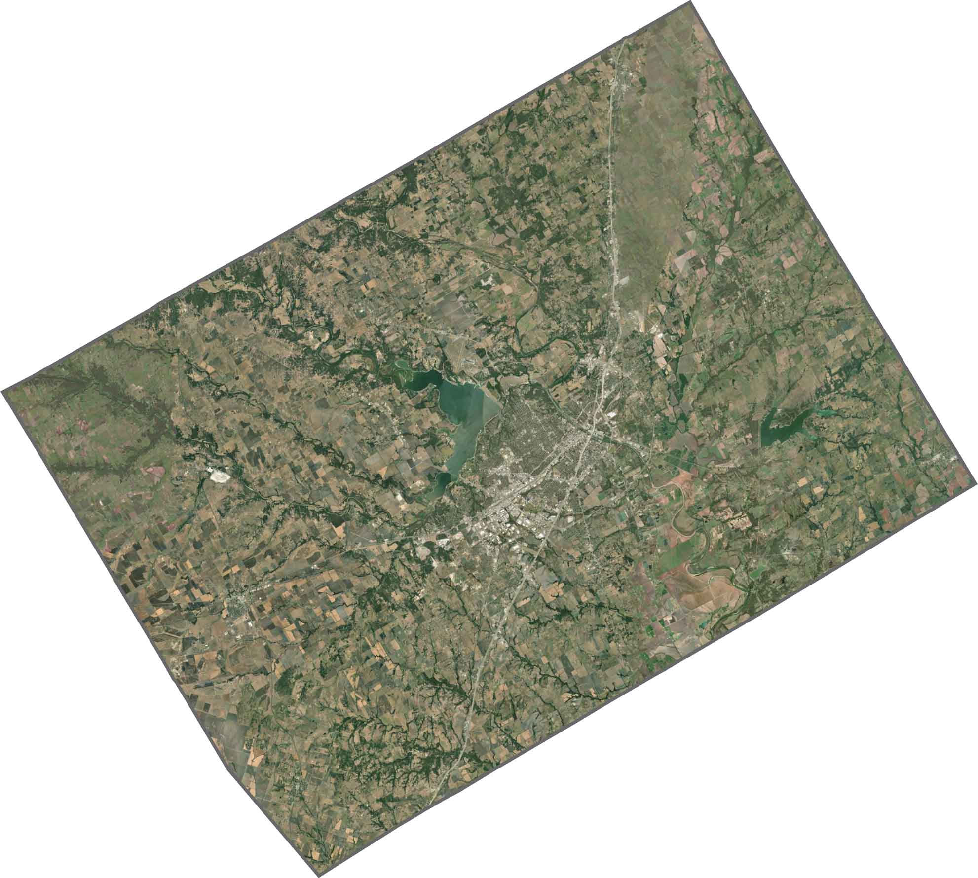
The terrain in McLennan County combines river lowlands with open prairie. The Brazos and Bosque Rivers run through the middle, carving a broad valley with gentle slopes. It’s a landscape of wide-open views. Use our zoom tool below to explore the highways and roads in greater detail.
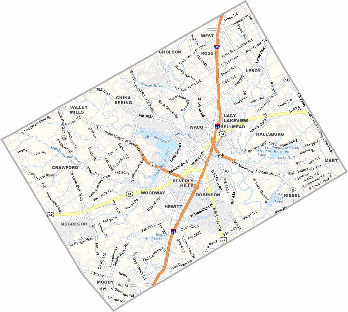
McLennan County’s roads are built to keep things connected. I-35 runs north and south through Waco, while U.S. Highway 84 branches toward Baylor and beyond. Some routes still have the feel of country roads, even when they’re close to town.
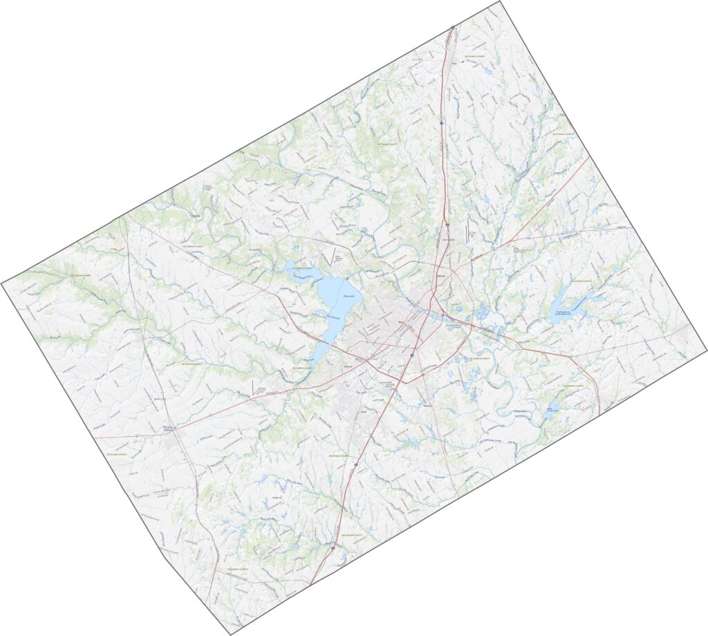
Waco dominates the center with its grid of streets and winding river. Beyond the city, the landscape quickly shifts to farmland and pasture. The Brazos River stands out as it winds through a green corridor, while Lake Waco sits nearby.
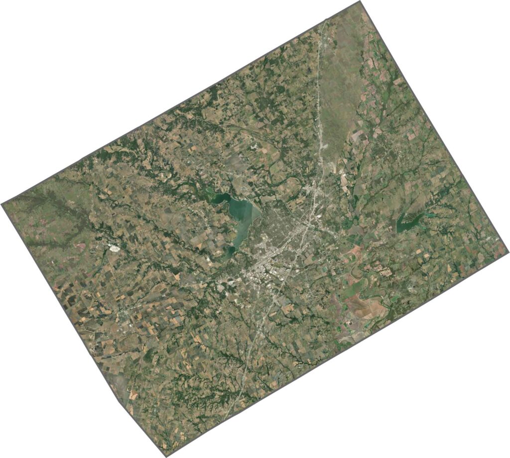
McLennan County has a mostly rectangular shape. There are no state borders here, only neighboring counties in Central Texas. The boundaries are largely defined by straight lines and old survey marks.









Discover all 254 legendary Texas county maps, covering the Lone Star State from the Panhandle to the Rio Grande. That means more rodeos, honky-tonk, and Texas BBQ.