
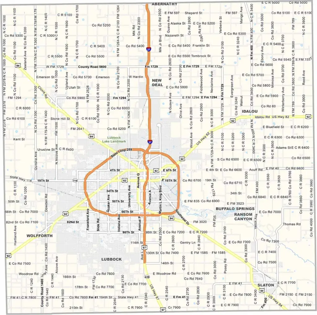
Lubbock County sits in the heart of the Texas High Plains. It’s flat as a pancake out here. The county seat, Lubbock, is a full-fledged city and home to Texas Tech University and a lively music scene.
Cotton is big business in the area. When harvest season arrives, fields of white stretch all the way to the horizon. The weather can be unpredictable. One day it’s scorching hot, and the next, a dust storm may roll in.
Buddy Holly was born here, and his musical legacy still lives on throughout the area. The sunsets are spectacular, filling the wide-open sky with shades of orange and pink.
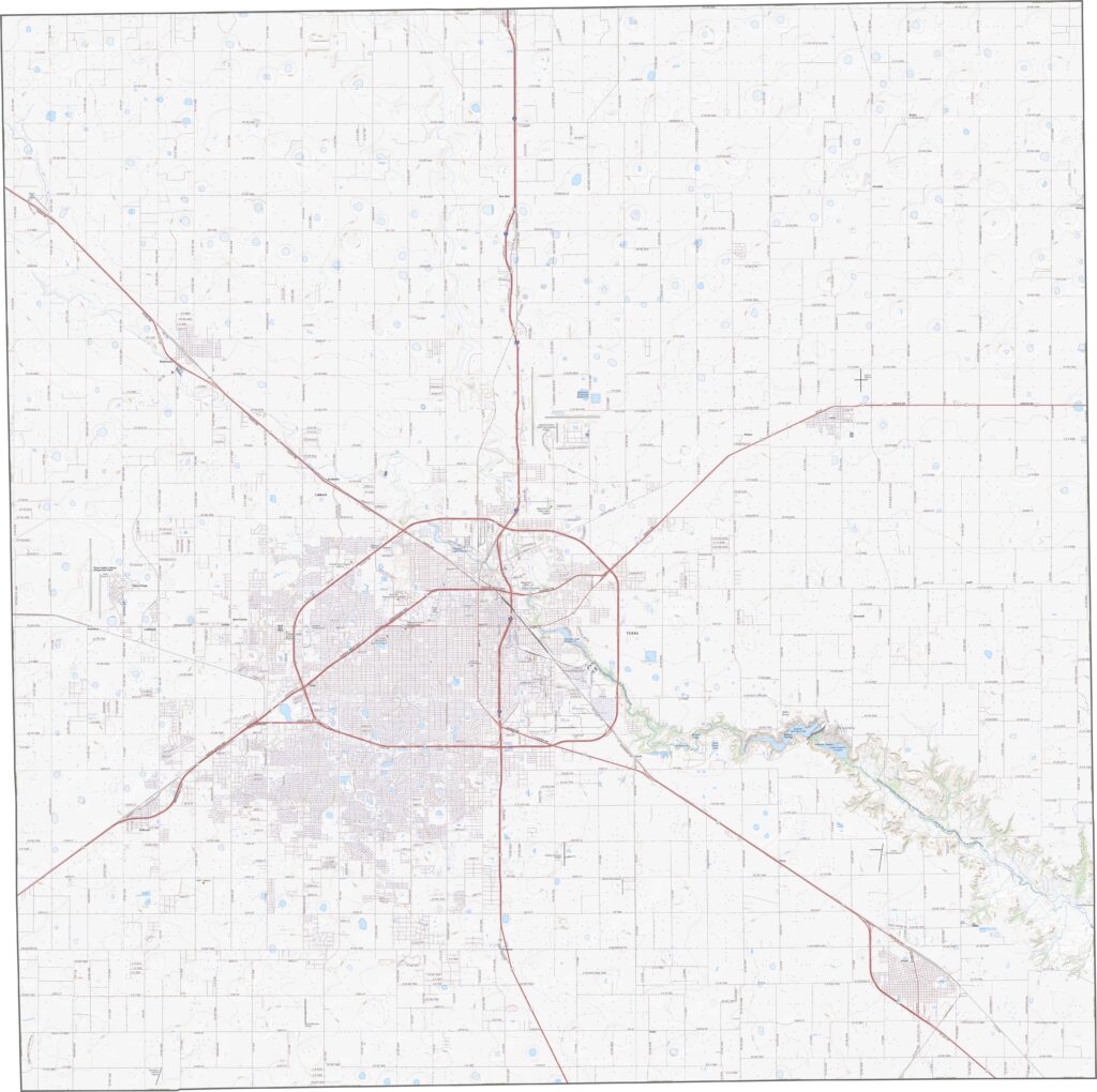
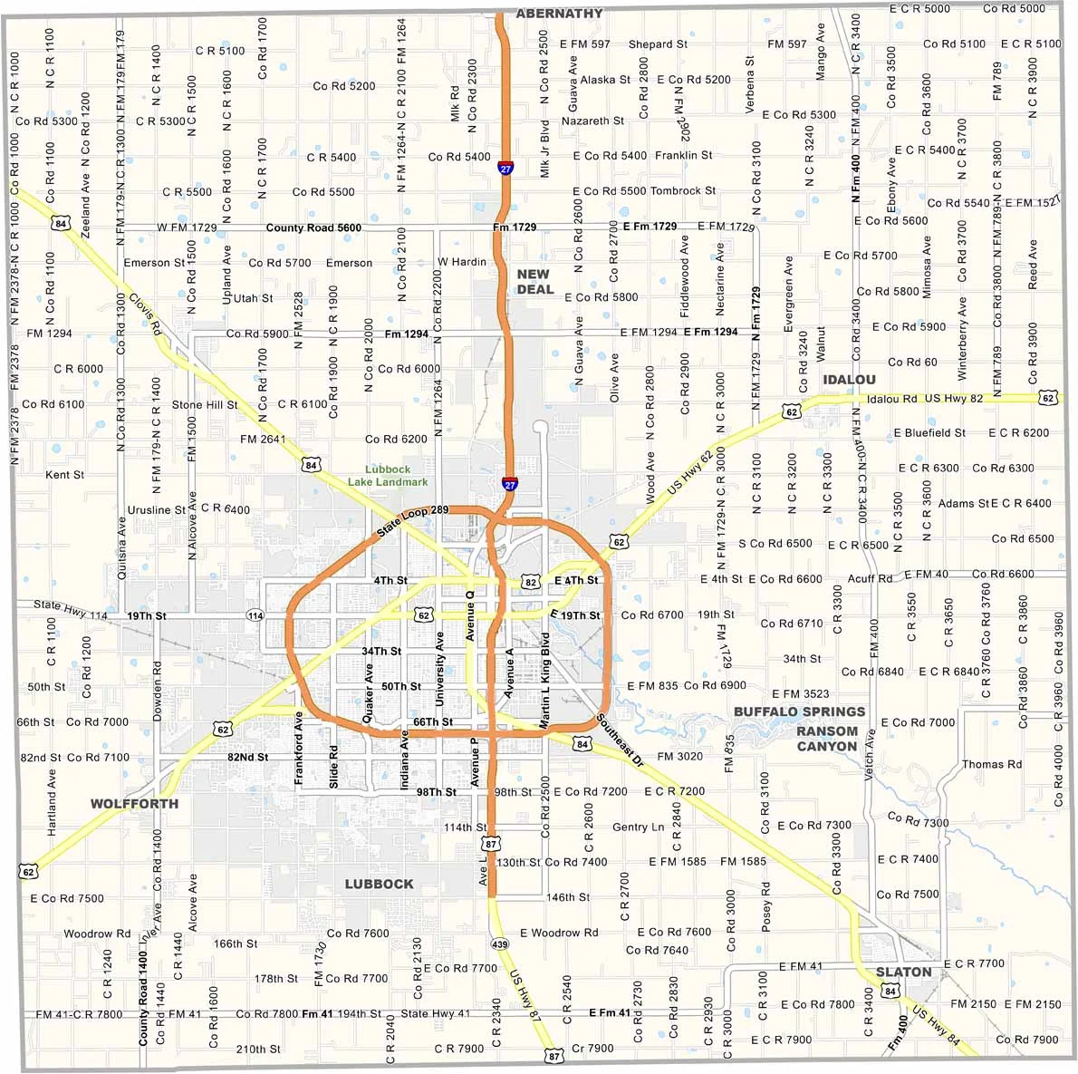
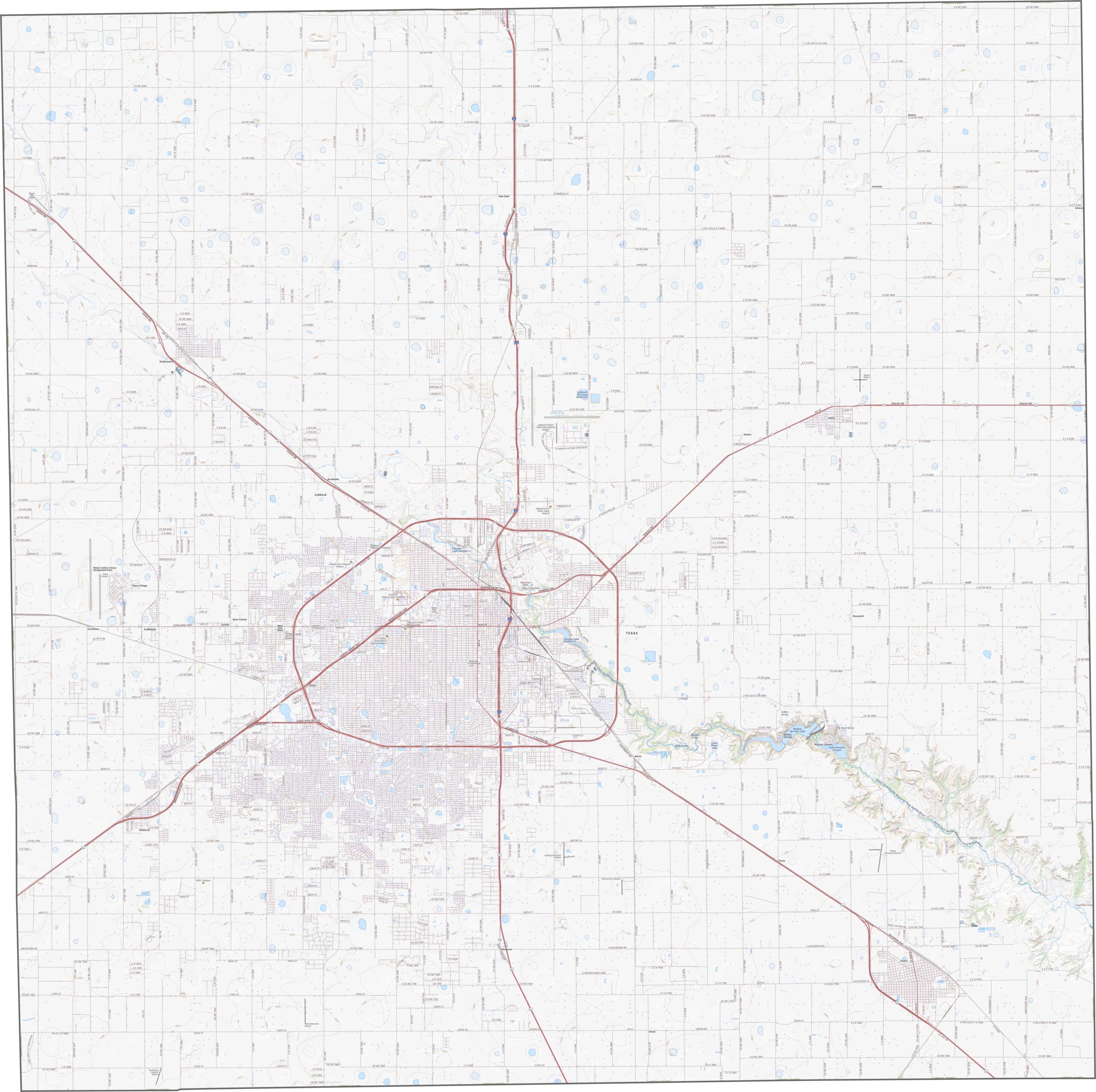
Lubbock is the hub, and the highways make that obvious. Roads come in from every direction, while State Loop 289 wraps around the city. U.S. Highways 84 and 62, along with I-84, stretch outward across cotton fields and wind farms. Our zoom tool lets you follow the roads as far as your curiosity takes you.
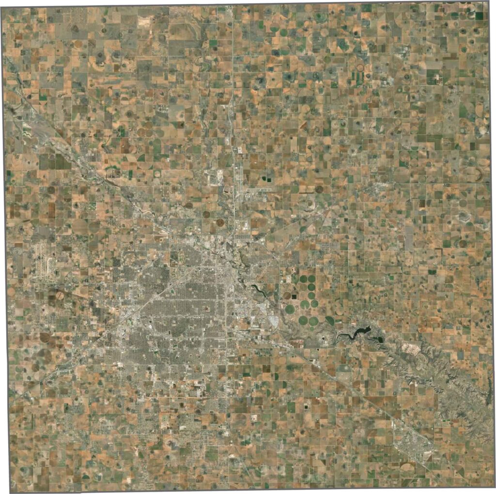
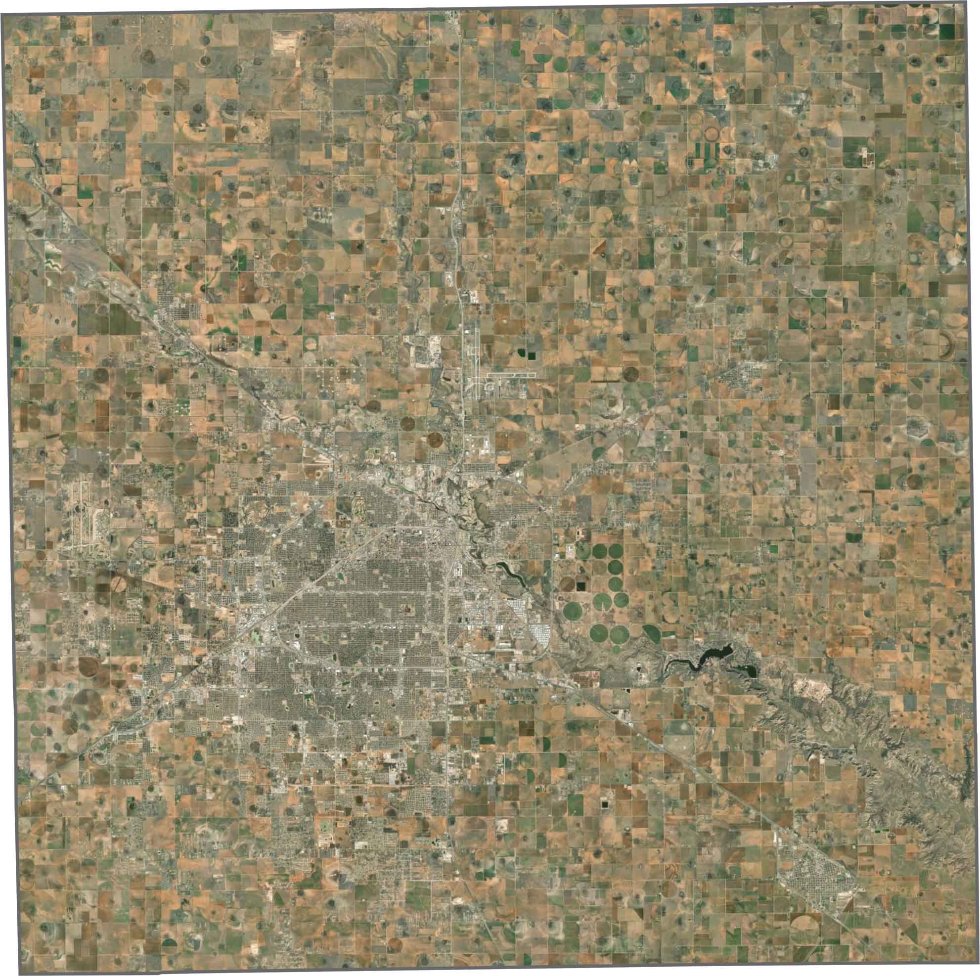
Lubbock stands out as a gray-and-white grid surrounded by dusty red-brown land. Beyond the city, vast fields form perfect squares, with irrigation pivots creating crop circles across the landscape. Trees are rare, and the scale is enormous. Once you leave the city, the scenery barely changes.
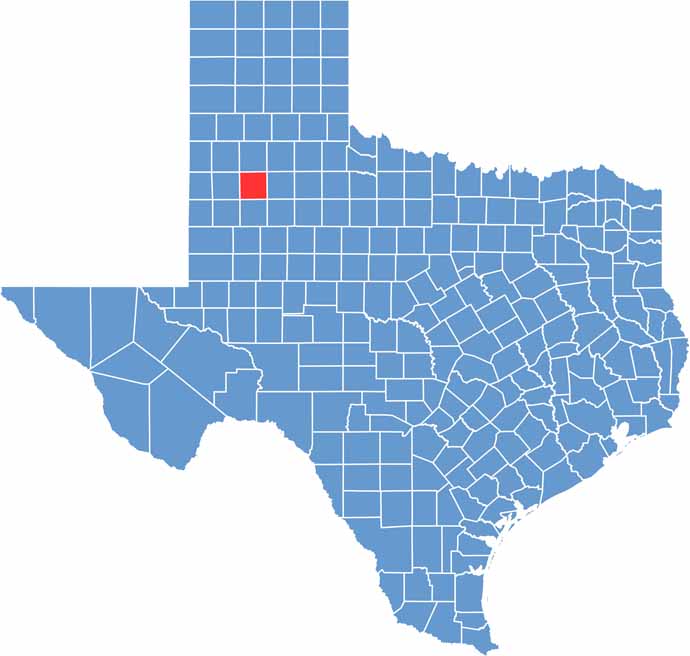
Lubbock County is almost a perfect square, just slightly tilted. It borders only other West Texas counties, giving it a tidy and clean outline. The simple shape makes it easy to spot on a map. Then again, plenty of counties in West Texas look like squares.









Discover all 254 legendary Texas county maps, covering the Lone Star State from the Panhandle to the Rio Grande. That means more rodeos, honky-tonk, and Texas BBQ.