
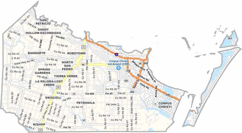
The Gulf Coast of Texas is home to Nueces County. Corpus Christi, the county seat, is a major port city known for its beautiful beaches. It’s where industry and tourism come together. The county takes its name from the Nueces River, which flows into Corpus Christi Bay.
Fishing is big business here, both commercially and recreationally. Hurricanes are always a concern, but locals are resilient. Strong Hispanic culture influences everything from food to festivals.
Winters are mild, making Nueces County a popular snowbird destination. There’s always something happening, from beach parties to cultural events. If you’re looking for a taste of coastal Texas life, Nueces County has you covered.
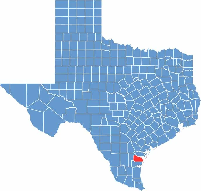
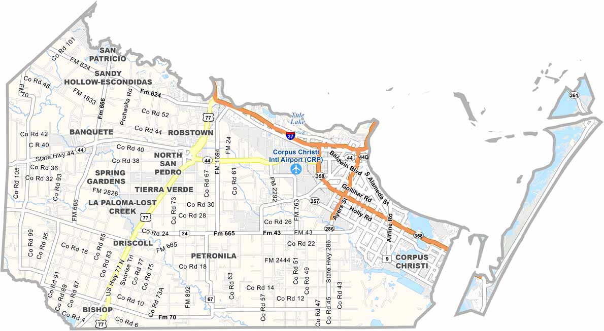
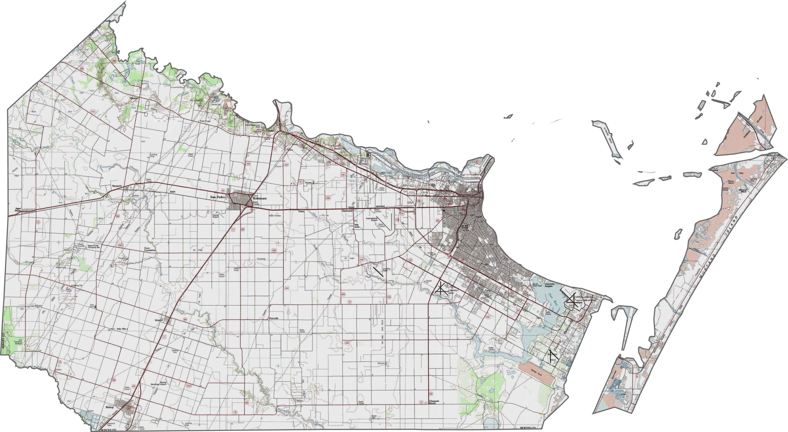
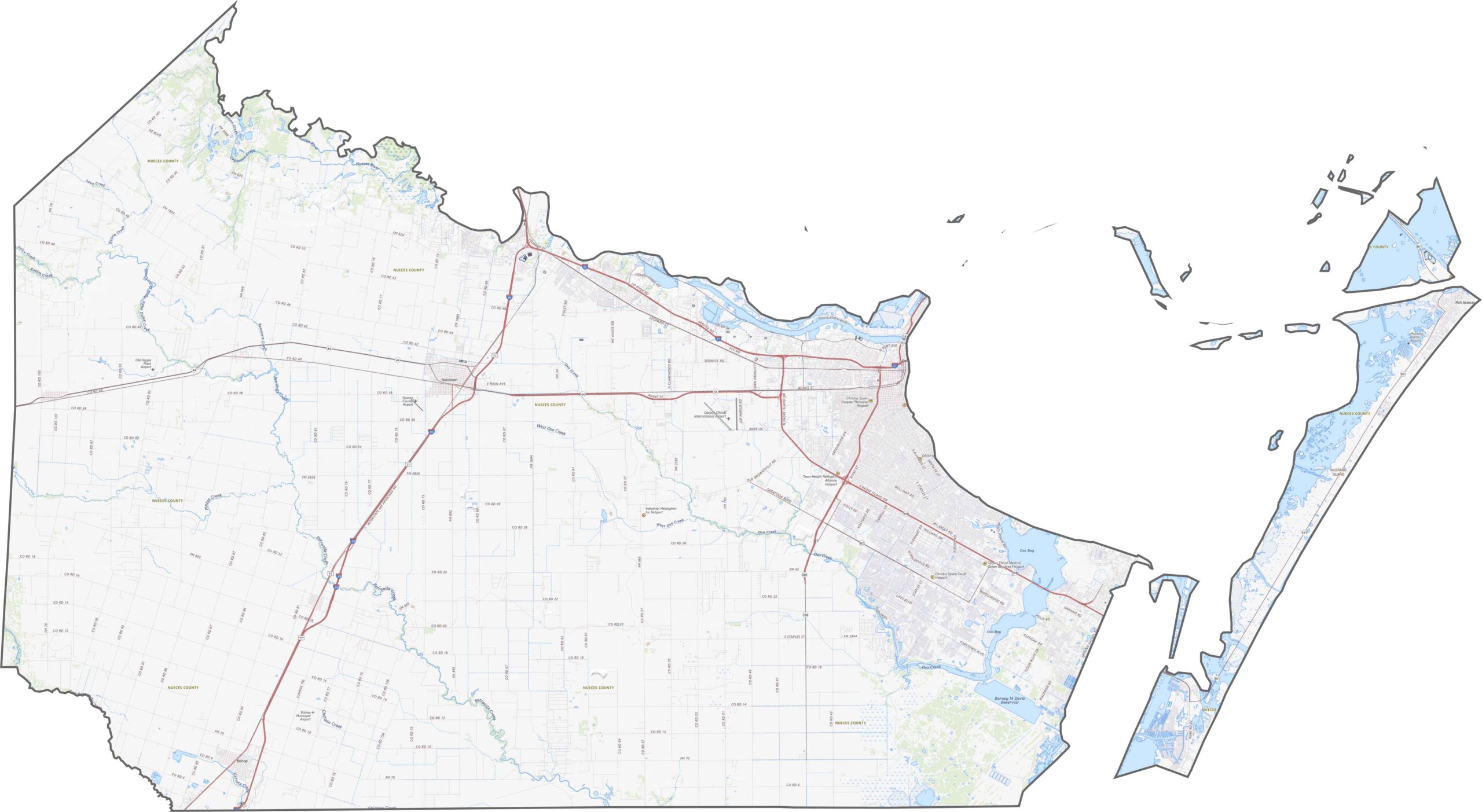
Nueces County is defined by its proximity to the Gulf Coast. The land is low, flat, and made up largely of sand and clay. One standout feature is the bay system, with Corpus Christi Bay curving into the county and shaping much of its terrain and drainage.
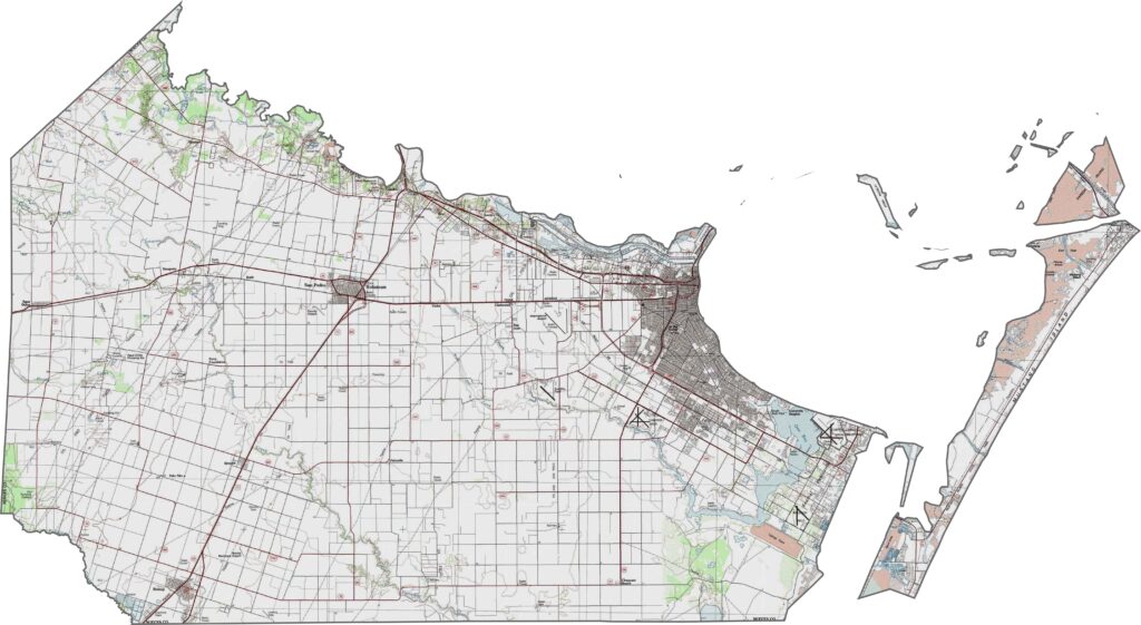
The county’s road network stretches inland from the coast. I-37 leads into Corpus Christi, while other routes run parallel to the shoreline. Even with good access, some inland roads can feel surprisingly remote. The landscape balances coastal connections with wide-open plains.
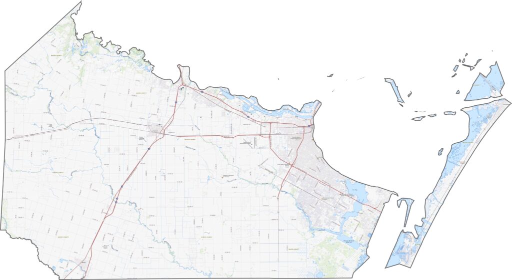
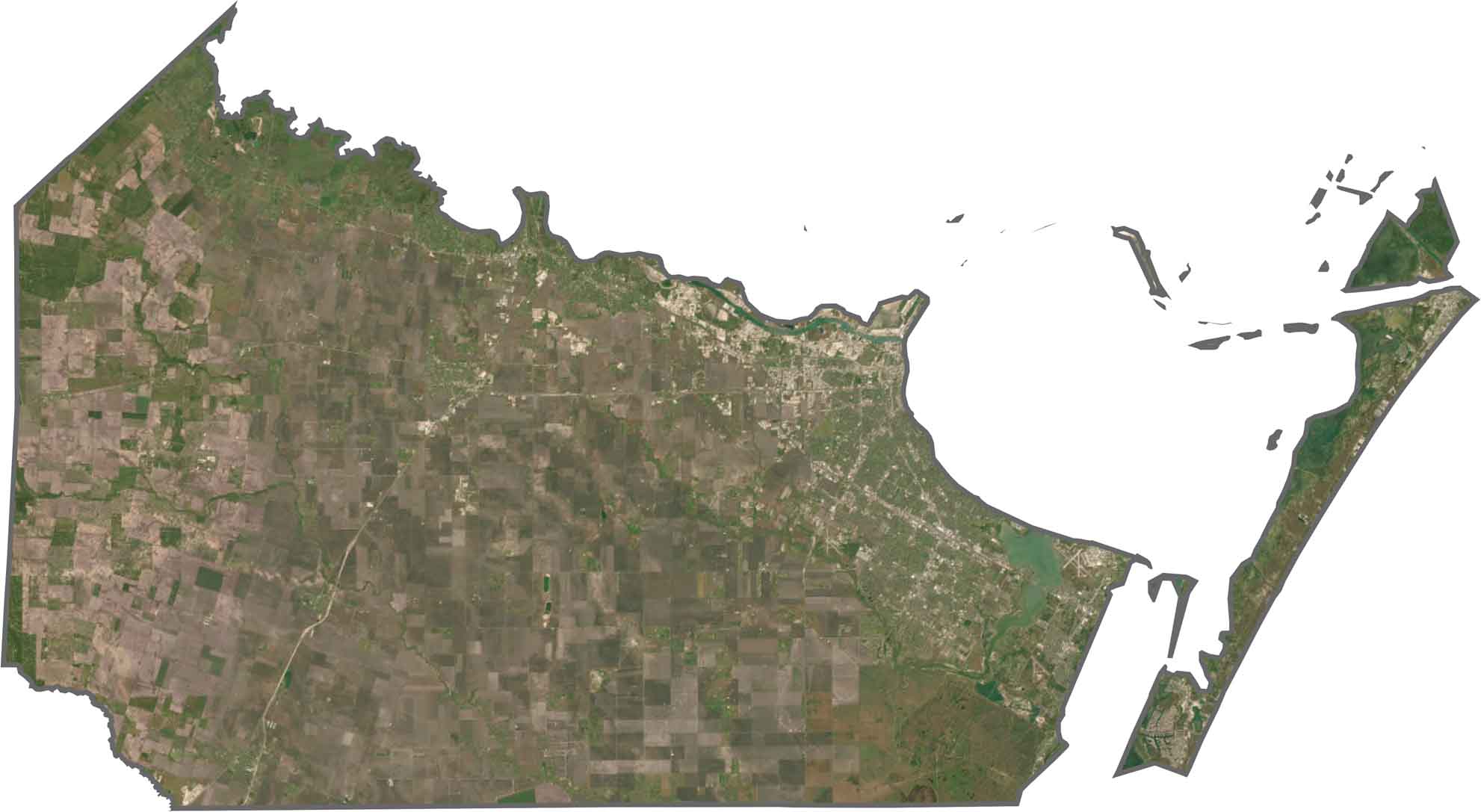
Beaches, water, and urban areas dominate the satellite view. Inland areas include agriculture and industry, but the coastline naturally draws the eye. Barrier islands and shipping channels form distinct outlines that are easy to spot from above.
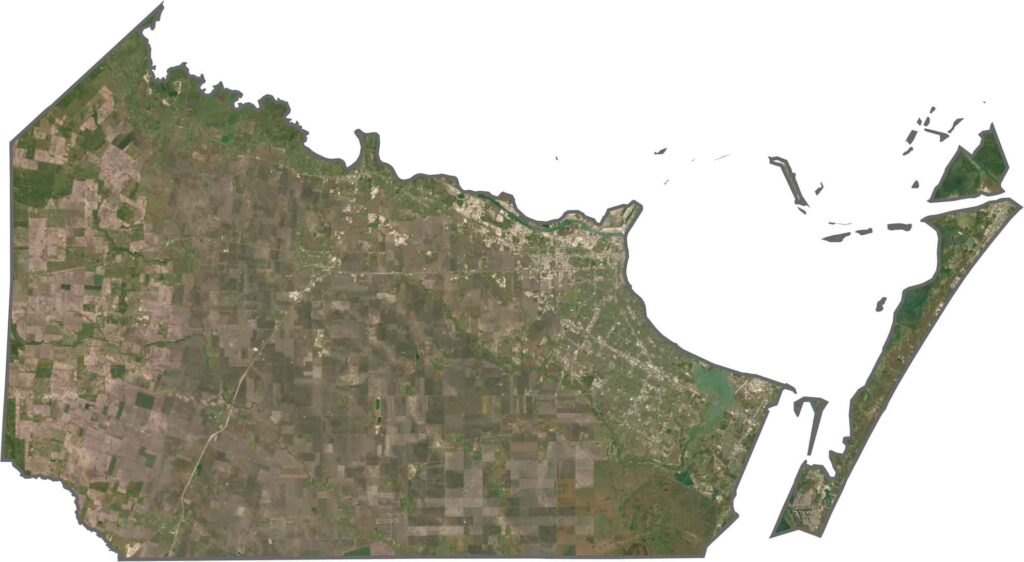
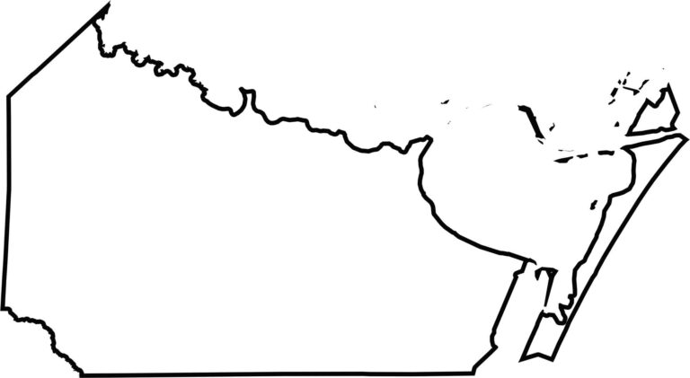
Nueces County has a coastal, almost claw-like shape. Its eastern edge follows the curves of Corpus Christi Bay and Nueces Bay. The county is bordered entirely by other Texas counties, with only its eastern edge reaching the Gulf Coast.








Discover all 254 legendary Texas county maps, covering the Lone Star State from the Panhandle to the Rio Grande. That means more rodeos, honky-tonk, and Texas BBQ.