
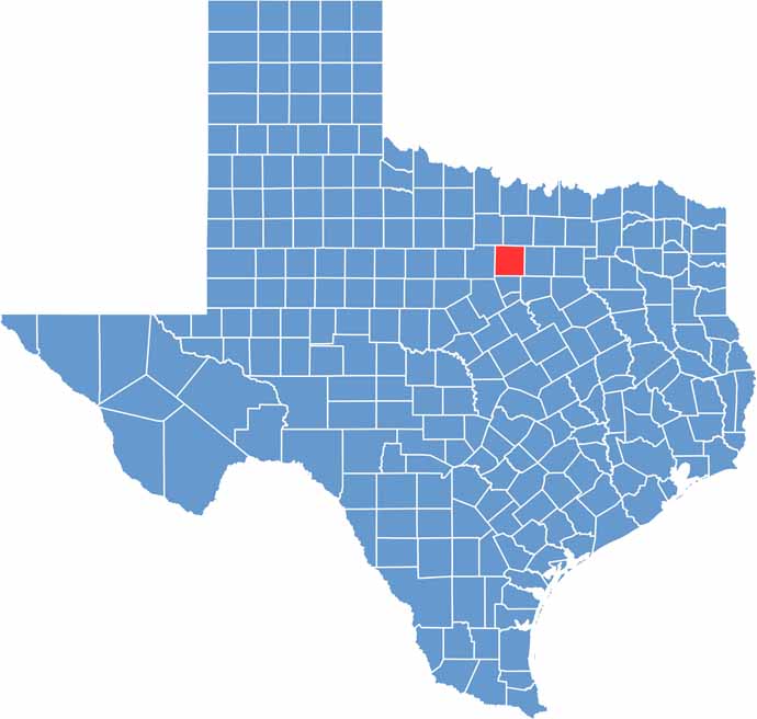
Parker County sits just west of Fort Worth, where the suburbs gradually give way to ranch country. Chandor Gardens features fountains and a waterfall, creating a little slice of Europe in the heart of Texas.
Weatherford is the largest town and is known as the “Peach Capital of Texas.” Every summer, the Parker County Peach Festival draws huge crowds.
The county has deep cowboy roots. The Parker County Sheriff’s Posse puts on a serious rodeo, and horse country is everywhere out here. Cutting horses are a big deal, and so are thoroughbreds.
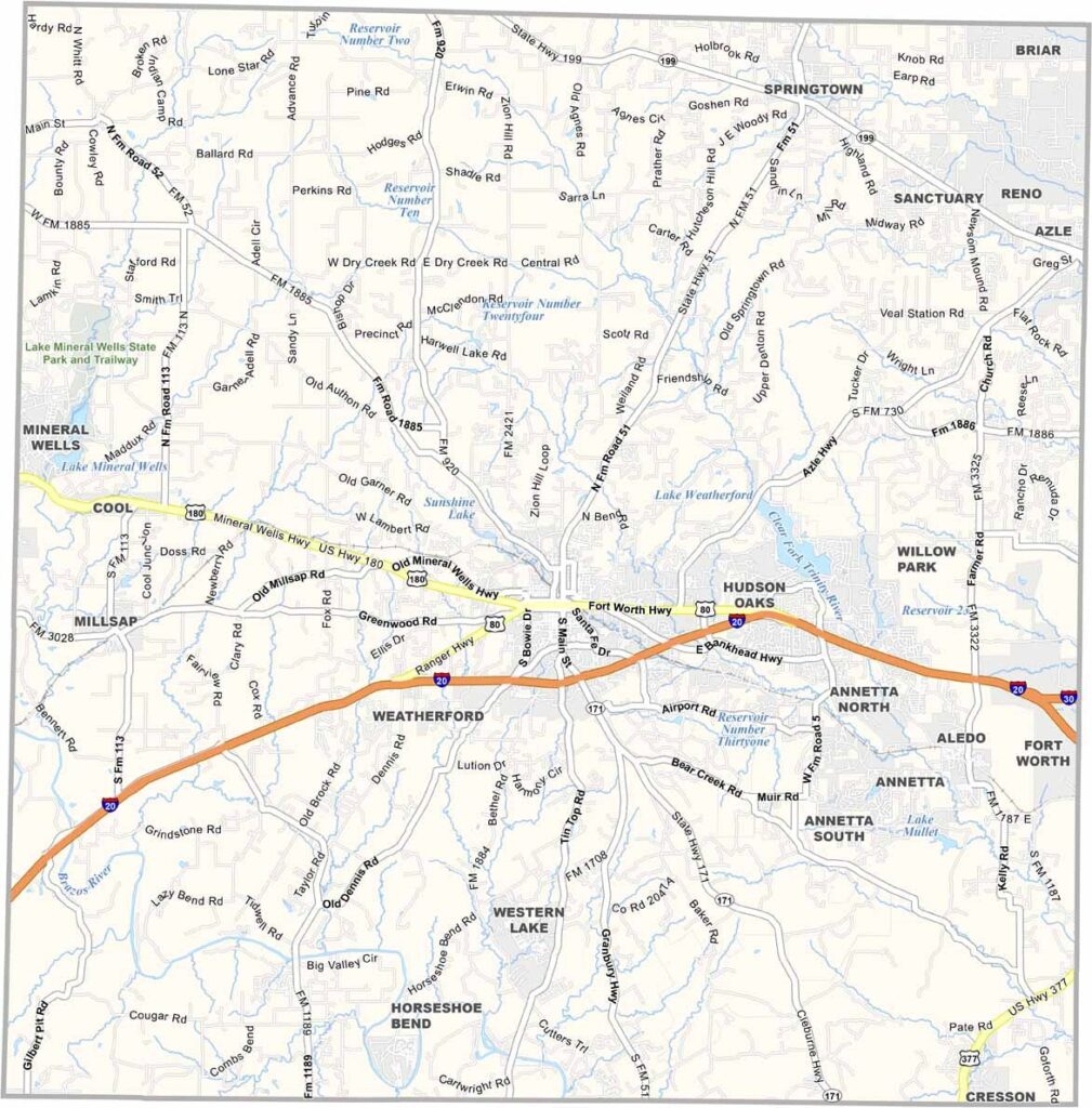
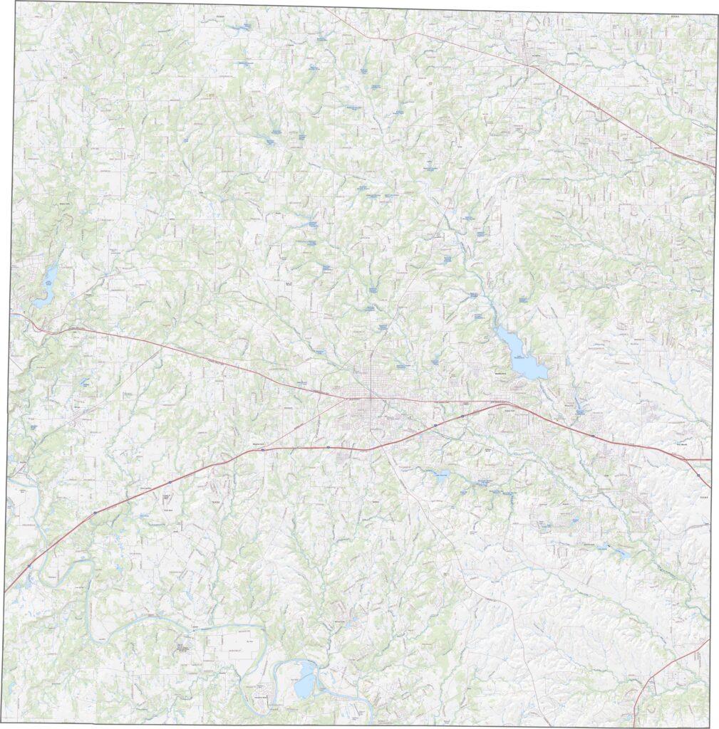
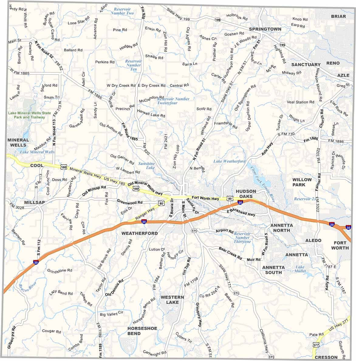
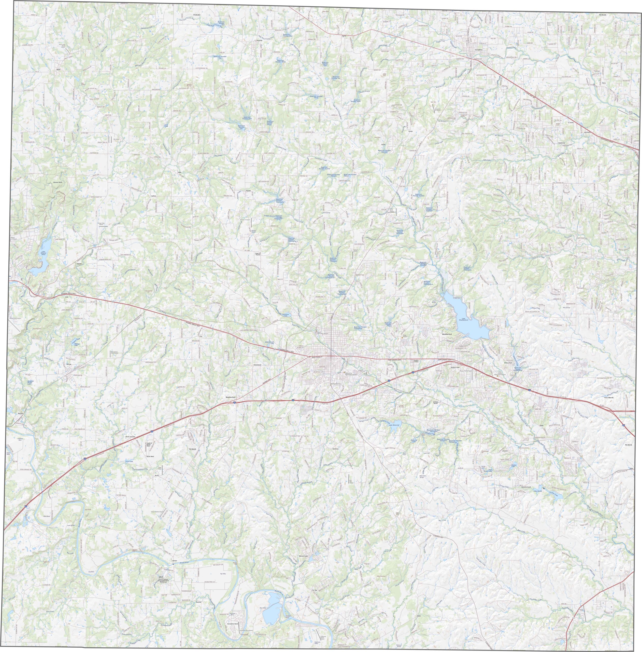
There’s a strong highway presence in Parker County, with I-20 and U.S. Highway 180 serving as major routes. Some roads cut straight across the rolling hills, while others wind around the ridges. It’s a mix of city-bound traffic and quiet rural drives. Use our zoom tool to explore every route in detail.
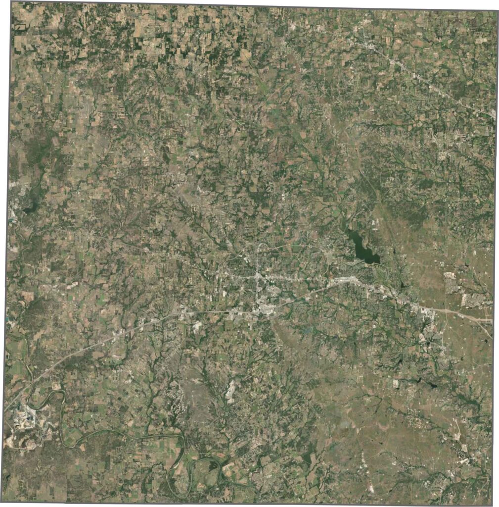
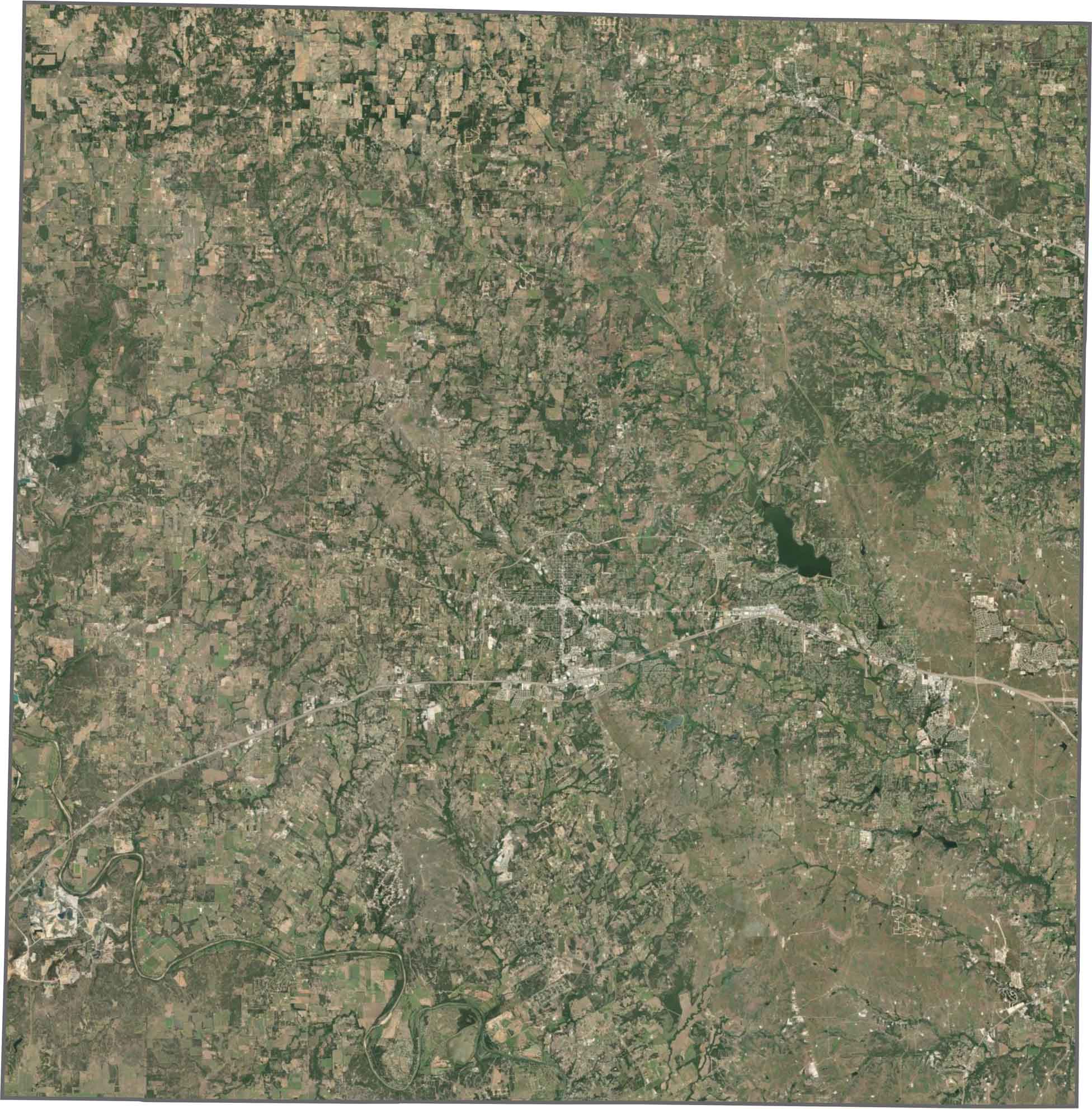
In the satellite view, scattered development appears toward the east before gradually giving way to farmland and pastures. The terrain isn’t completely flat, with small hills adding texture to the landscape. Forests break up the open spaces, especially around creeks and tributaries.
Parker County has a mostly square shape. Although it doesn’t border another state, it sits just west of the Fort Worth metro area.









Discover all 254 legendary Texas county maps, covering the Lone Star State from the Panhandle to the Rio Grande. That means more rodeos, honky-tonk, and Texas BBQ.