
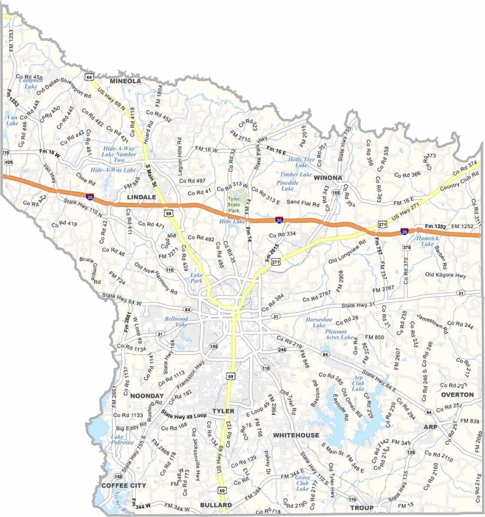
The heart of East Texas beats in Smith County. Tyler is famous for its roses and also serves as the county seat. You can’t miss the azaleas in spring. Yep, they’re everywhere.
Oil put the area on the map, but these days, healthcare and education are major parts of the economy. UT Tyler brings a youthful vibe to the area. The county also has plenty of lakes, making it a great spot for fishing and boating.
Smith County’s history runs deep, with stories of Native Americans, early settlers, and Civil War drama. Fall is a great time to visit, when the leaves change and the air turns crisp. Smith County blends old and new, urban and rural.
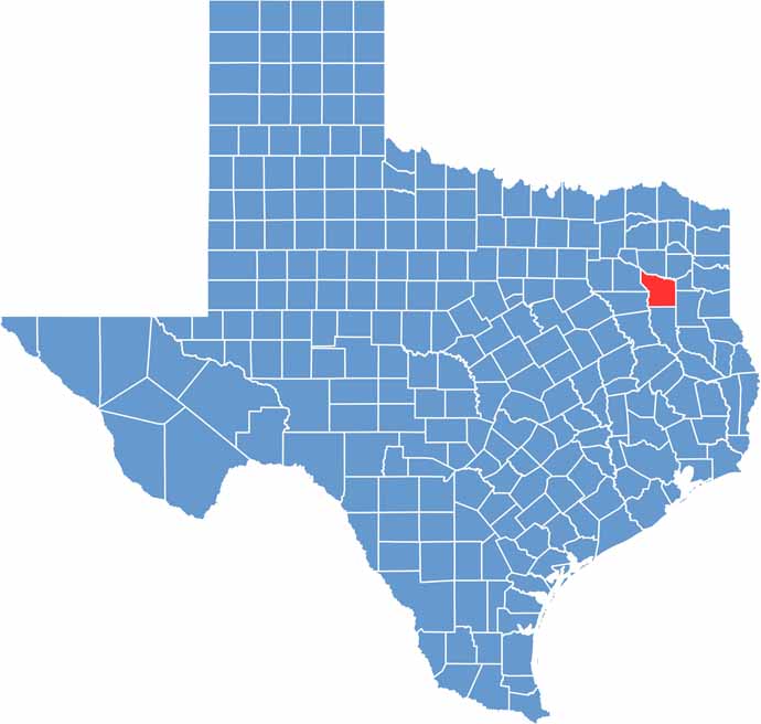
Williamson County has an irregular outline. It has no border rivers and no neighboring states. The southern border is curvy, while the other borders run straight.
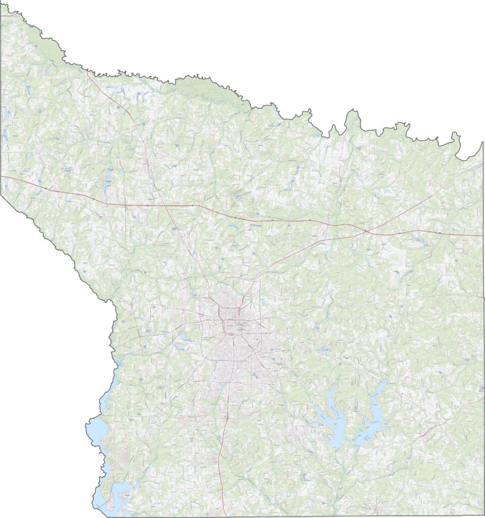
Williamson County has an irregular outline. It has no border rivers and no neighboring states. The southern border is curvy, while the other borders run straight.
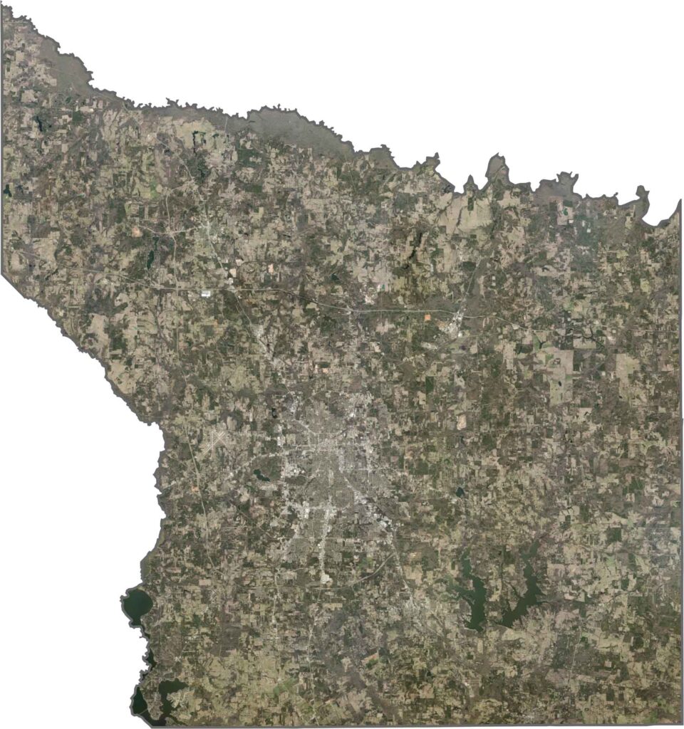
Williamson County has an irregular outline. It has no border rivers and no neighboring states. The southern border is curvy, while the other borders run straight.






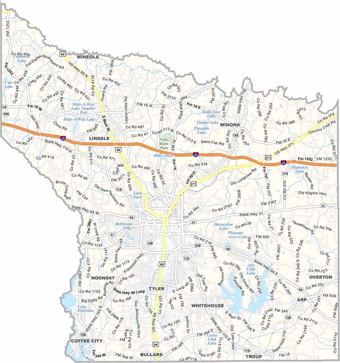
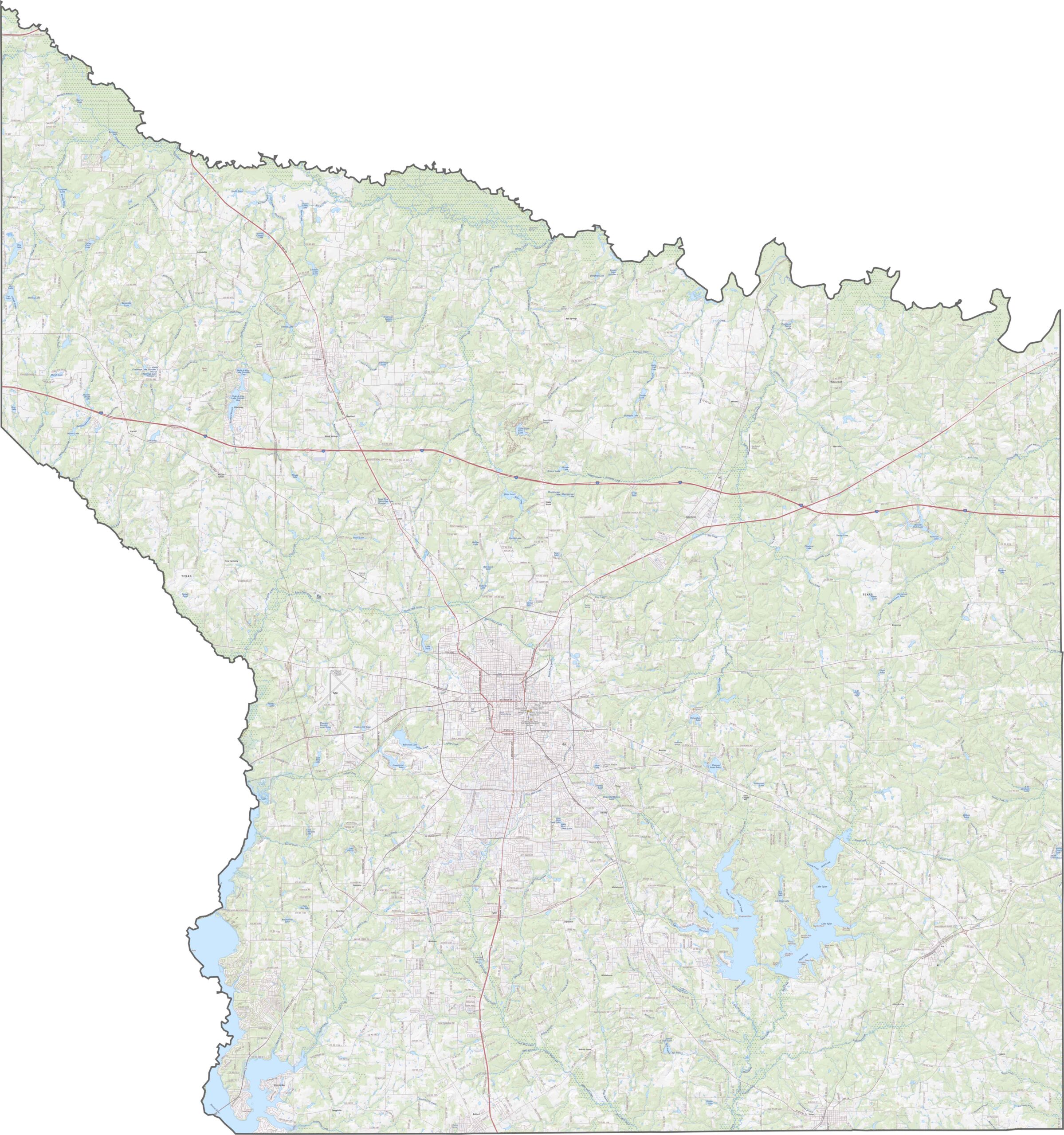
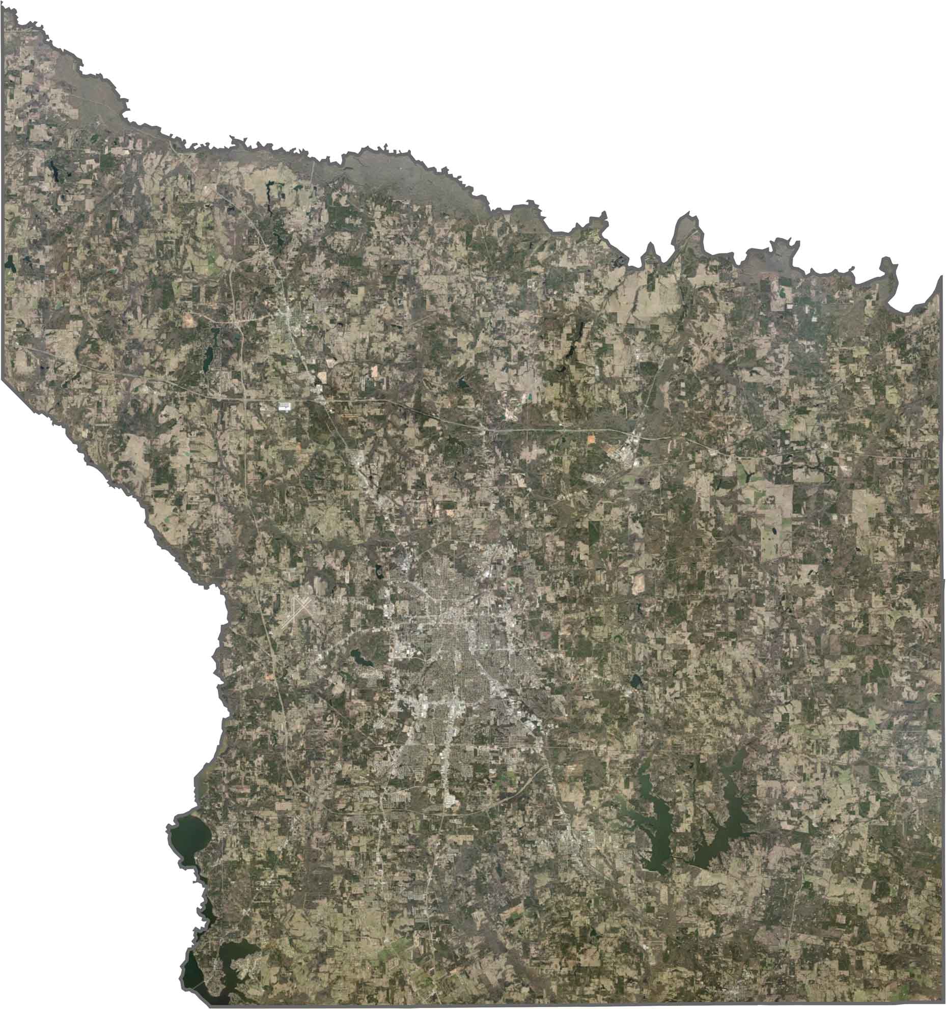


Discover all 254 legendary Texas county maps, covering the Lone Star State from the Panhandle to the Rio Grande. That means more rodeos, honky-tonk, and Texas BBQ.