
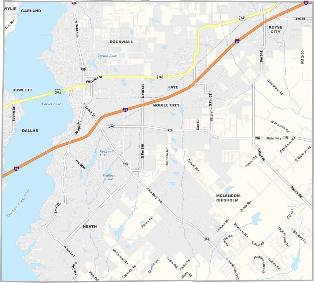
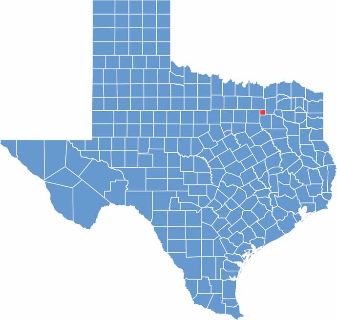
Rockwall County sits just east of Dallas. It’s the smallest county in Texas, but don’t let its size fool you. The area is booming. As part of the Dallas-Fort Worth metroplex, it offers small-town charm with big-city amenities close by.
The county gets its name from a subterranean rock wall discovered by early settlers. Some believed it was man-made, but it turned out to be a natural formation. Lake Ray Hubbard forms the county’s western border.
The lake is popular for boating and fishing. The county seat, also called Rockwall, has a charming downtown area. On summer evenings, you’ll often find live music and people strolling around. The county has grown rapidly in recent years, with new subdivisions appearing everywhere. Even so, it has managed to maintain that friendly Texas feel.
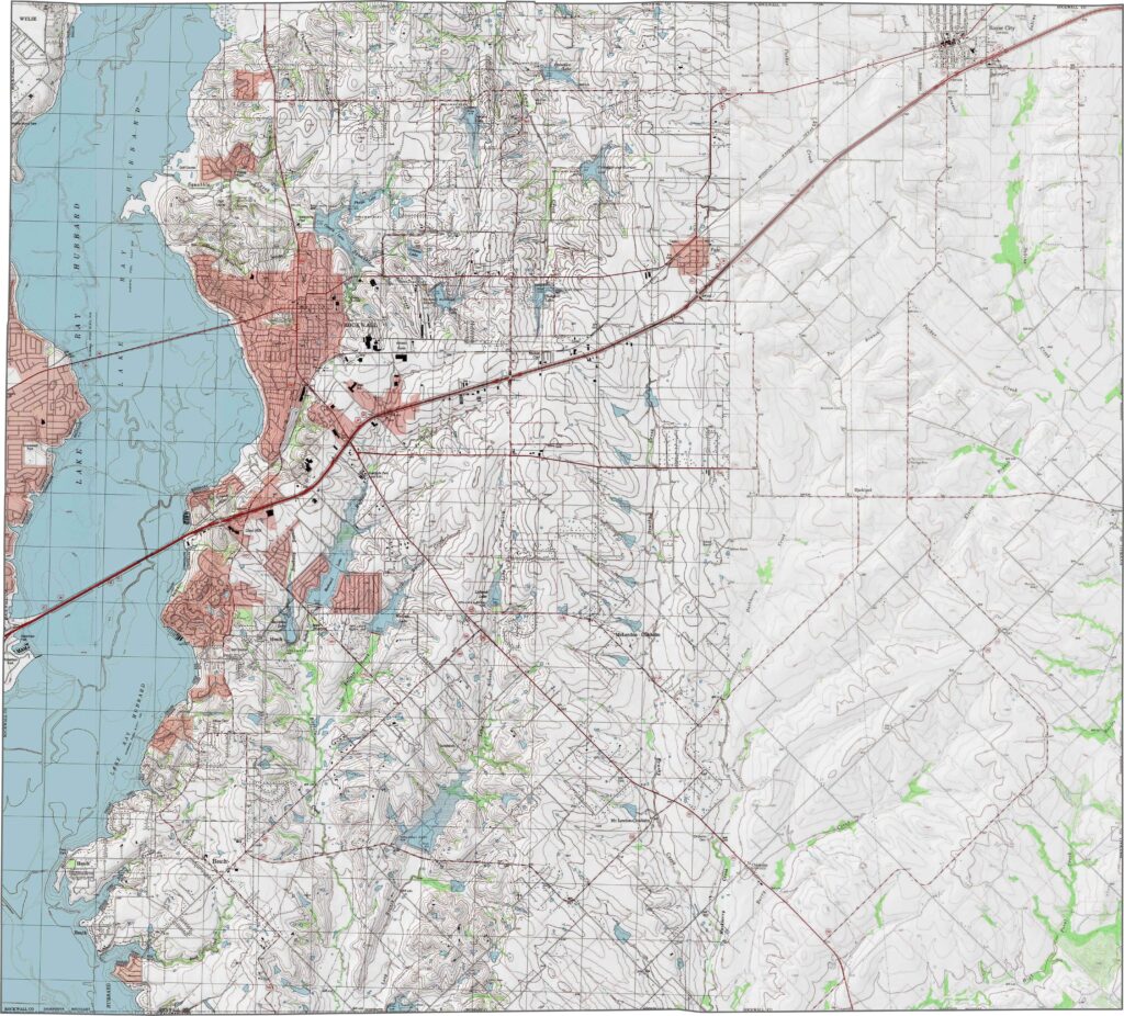
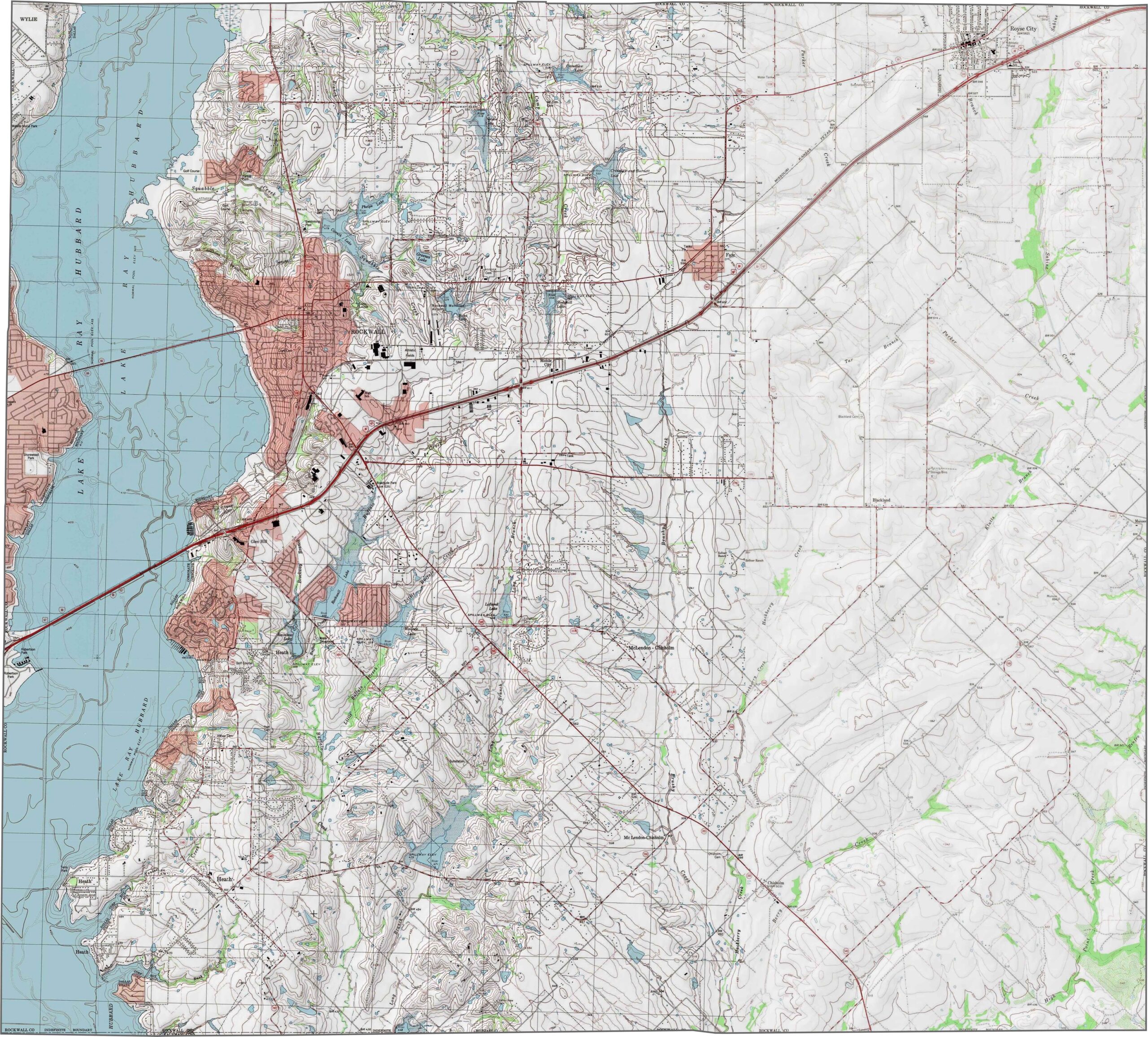
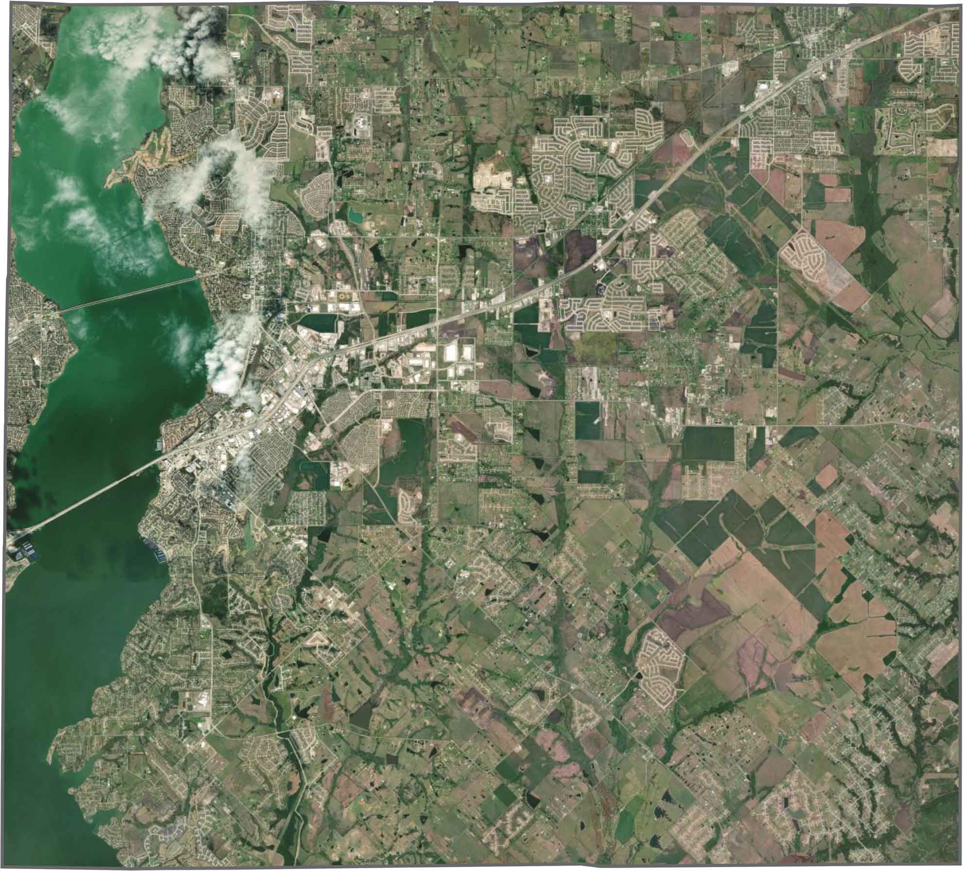
Rockwall County is the smallest county in Texas, and its terrain reflects that compact size. The landscape is mostly flat with gentle slopes. One notable feature is the eastern shore of Lake Ray Hubbard, which reaches into the county’s western edge and provides a narrow stretch of waterfront terrain.
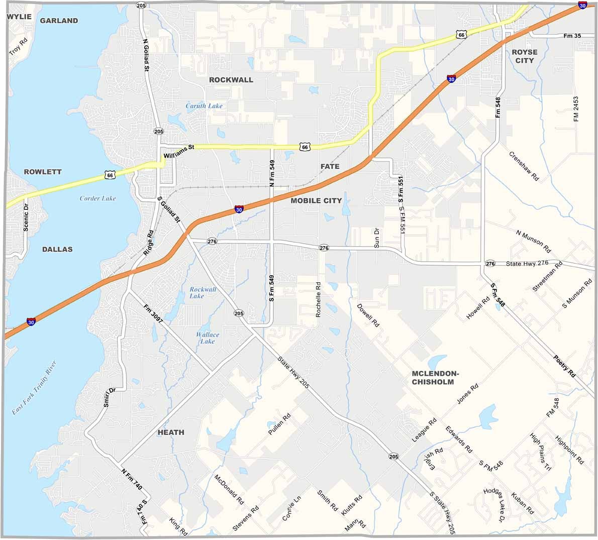
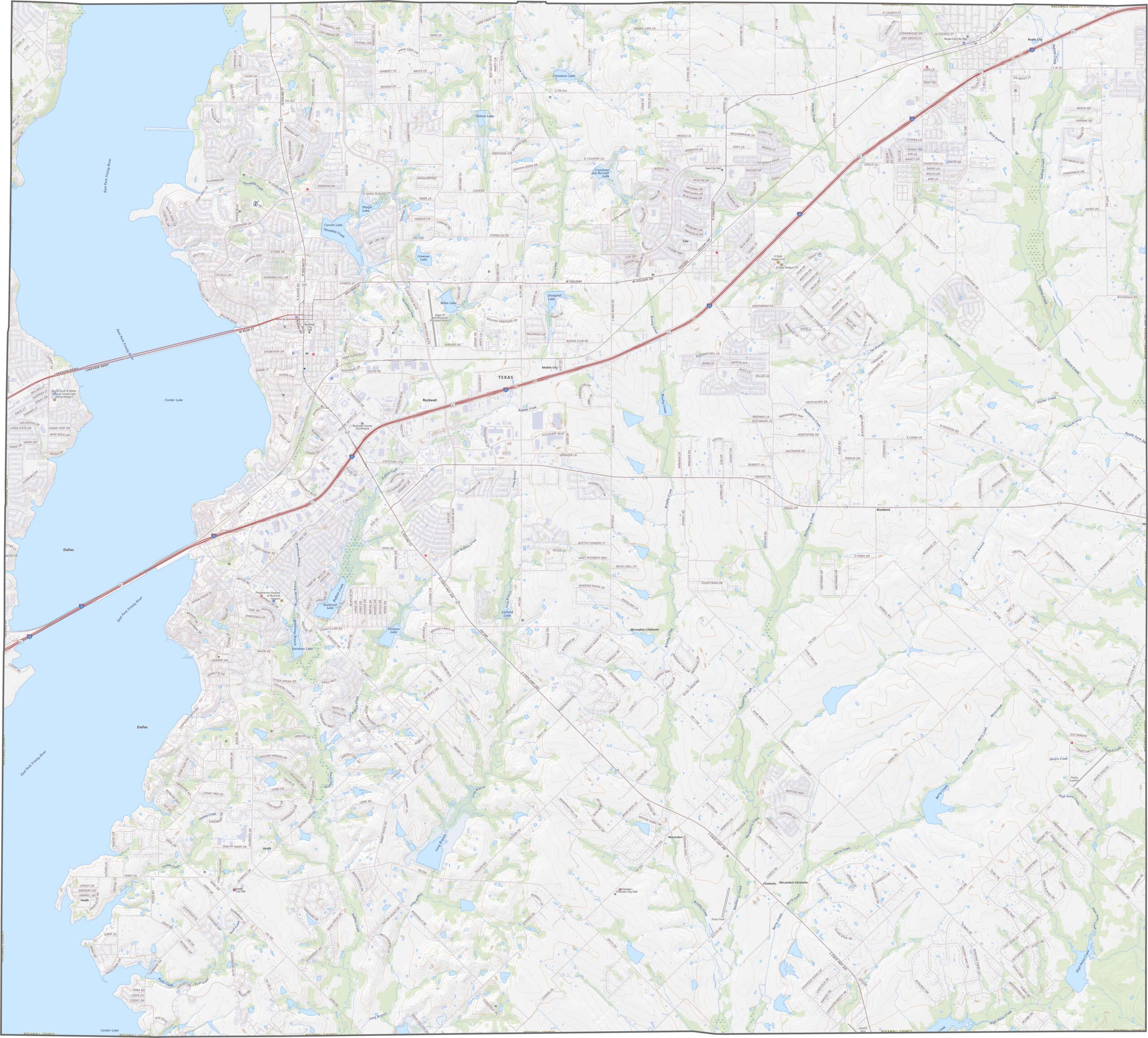
Compact, but far from quiet. Rockwall County is crossed by busy highways, with major routes like I-30 connecting the area to the Dallas-Fort Worth region. Despite all the traffic lanes, it doesn’t take long to drive from one end of the county to the other. Use our zoom tool to explore every mile in greater detail.
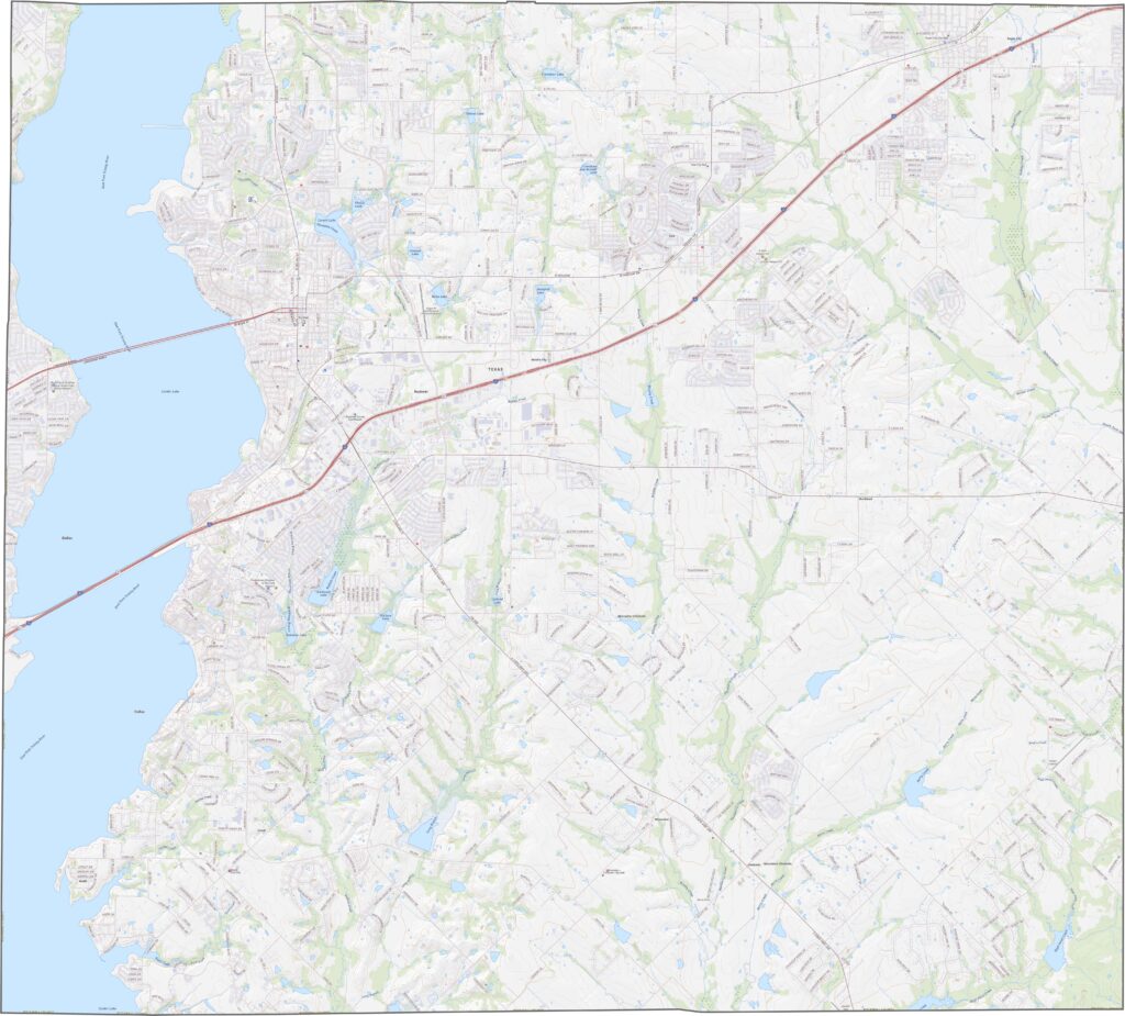
Rockwall County is dominated by rooftops, roads, and parking lots. Yep, suburban development is everywhere. Still, Lake Ray Hubbard stands out along the western edge, while trees cluster around creeks. Overall, the built environment clearly dominates the landscape.
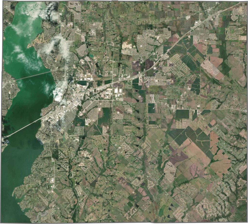
Rockwall County has a neat, slightly skewed square shape. It has no border rivers and doesn’t touch any neighboring states. Instead, straight county lines and mostly right-angled boundaries define its compact outline.









Discover all 254 legendary Texas county maps, covering the Lone Star State from the Panhandle to the Rio Grande. That means more rodeos, honky-tonk, and Texas BBQ.