
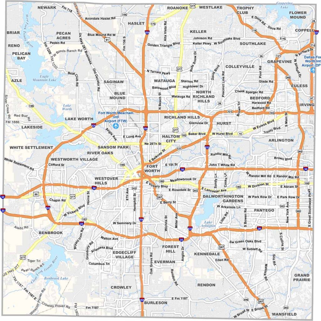
Fort Worth anchors Tarrant County in North Texas. It’s where cowboy culture meets big-city living. The Stockyards reflect the county’s cattle-driving past, while aerospace and defense industries point toward its future.
You can’t talk about Tarrant County without mentioning DFW Airport. It’s massive. The Trinity River winds through the county, creating green spaces amid the urban sprawl. Arlington is home to the Cowboys and Rangers.
Art lovers flock to the Kimbell and the Modern. The county is growing fast. Yep, it seems like there’s always construction somewhere. It’s a slice of Texas that’s equal parts howdy and high-tech.
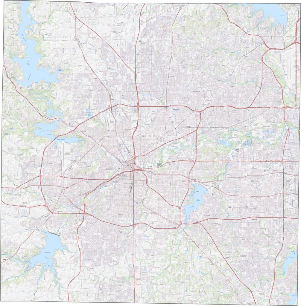
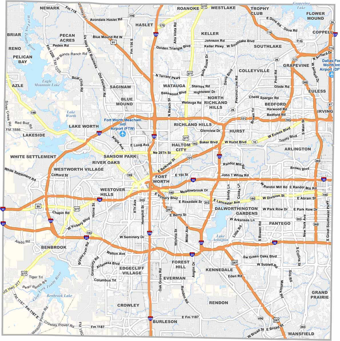
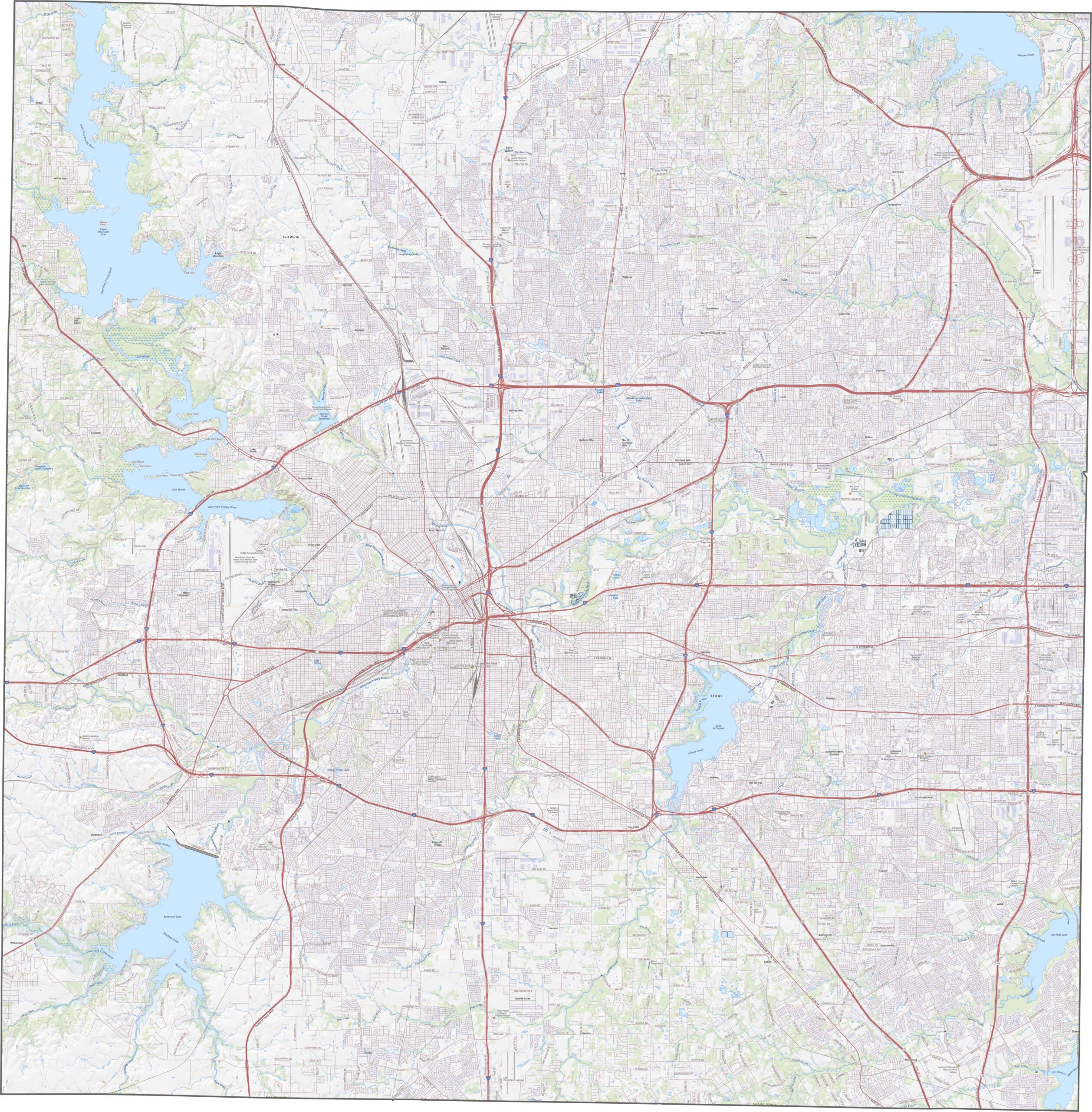
Tarrant County is crisscrossed with highways that run through Fort Worth in every direction. Some of the major routes include I-20, I-30, and I-820. Our zoom tool in the road map below lets you explore the county’s transportation network.
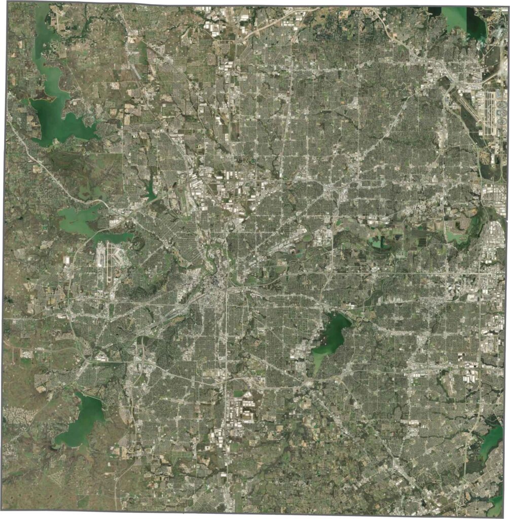
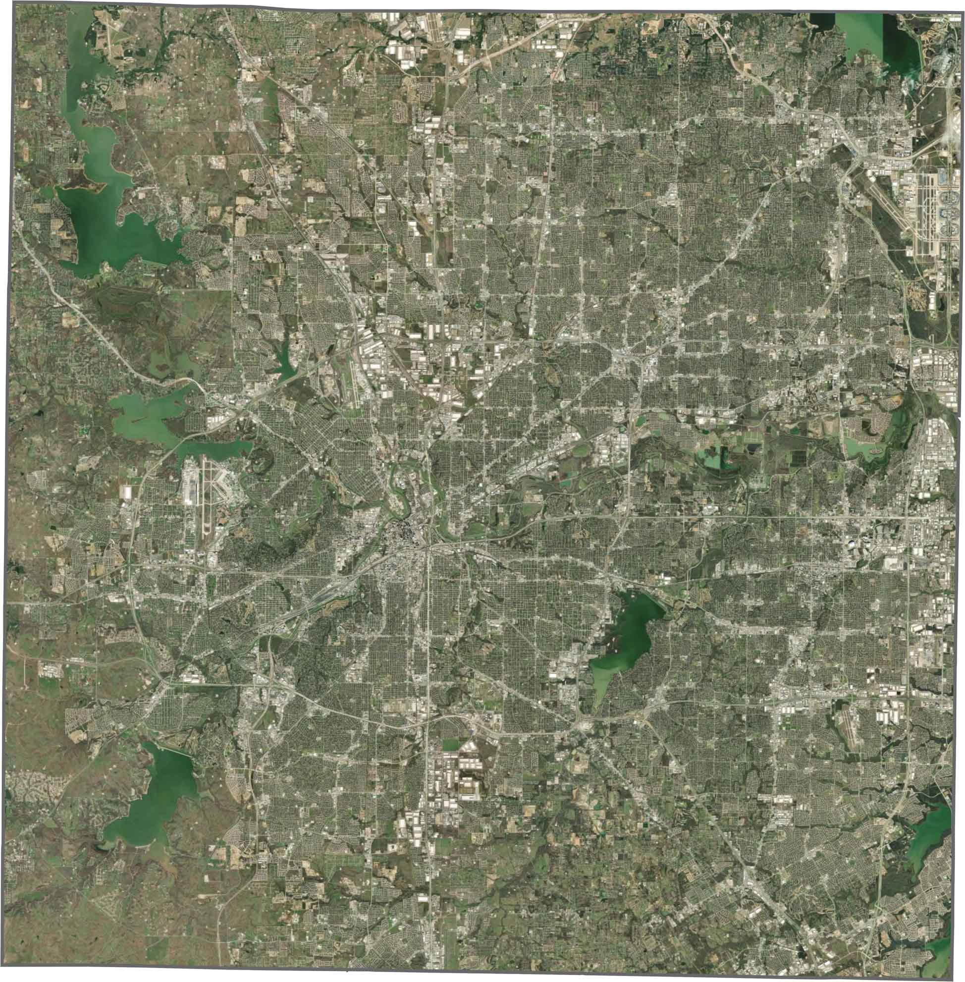
Urban development is everywhere, from parking lots and stadiums to neighborhoods and highways. Still, greenbelts follow the Trinity River and its forks, breaking up the concrete landscape. A few lakes and reservoirs appear as well, but most of the county looks like a sprawling metro maze.
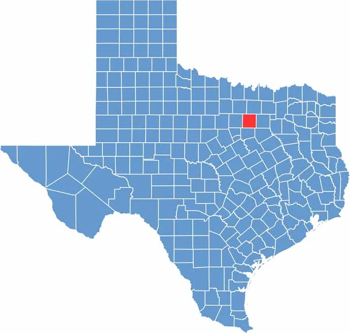
Tarrant County has a roughly square shape. No major rivers form its borders, and it doesn’t touch any other state. Even so, it anchors the western half of the Dallas-Fort Worth metro area.









Discover all 254 legendary Texas county maps, covering the Lone Star State from the Panhandle to the Rio Grande. That means more rodeos, honky-tonk, and Texas BBQ.