
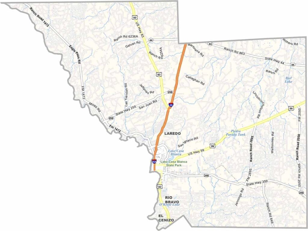
Webb County is home to Laredo and a whole lot of Texas. It’s actually one of the largest counties in the state, sitting down south along the Rio Grande.
Laredo, the county seat, is a major port of entry from Mexico. The culture here is pure Tex-Mex. You can hear it in the music and taste it in the food. The economy is diverse, with international trade, ranching, and oil and gas all playing important roles.
The terrain is mostly flat, with some rolling hills mixed in. This is brush country, tough and hardy, much like the people who call it home. Webb County blends old and new, American and Mexican, creating a unique corner of Texas that’s proud of its identity.
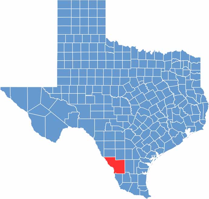
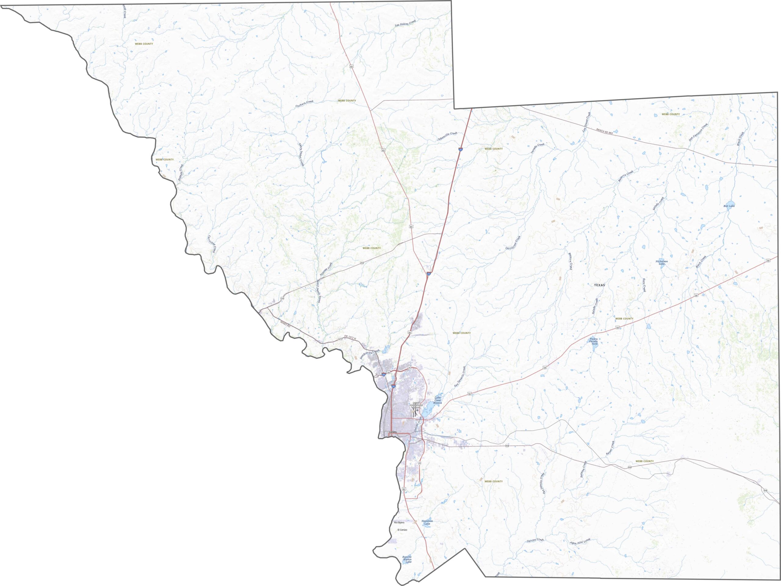
Webb County lies within the South Texas Brush Country, where flatlands meet low ridges and dry creek beds. The Rio Grande is the defining geographic feature, flowing along the southern border.
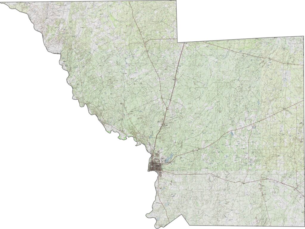
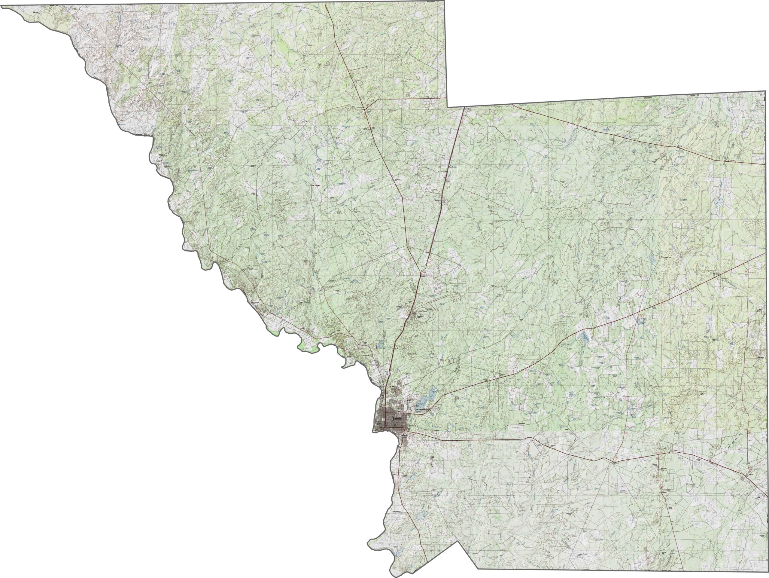
Roads converge on Laredo from all directions. International bridges, highways, and railways meet in the city, while areas outside Laredo stretch for long distances before reaching the next major stop. Border traffic mixes with oil trucks and ranch traffic. Our zoom tool helps you explore the network in greater detail.
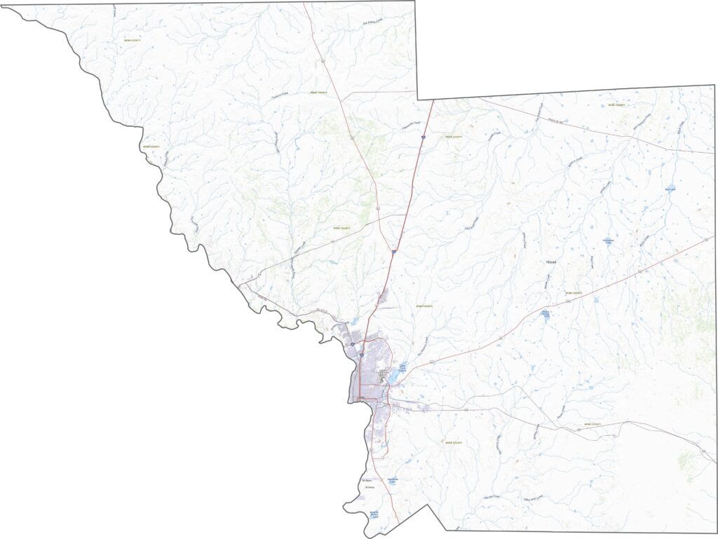
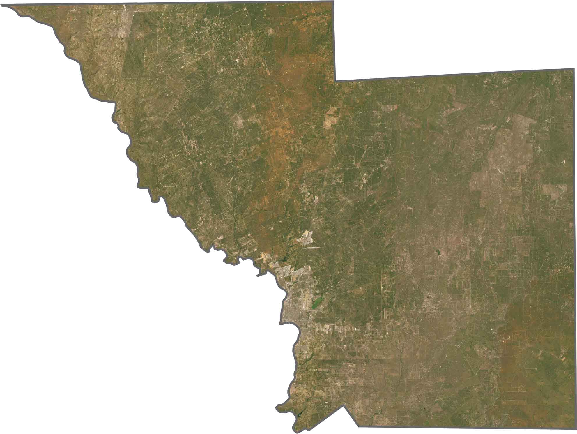
Laredo appears as a dense block of gray development. The Rio Grande stands out as it curves between city grids and open land. Farther north, the landscape becomes dominated by brush, dirt roads, and energy infrastructure.
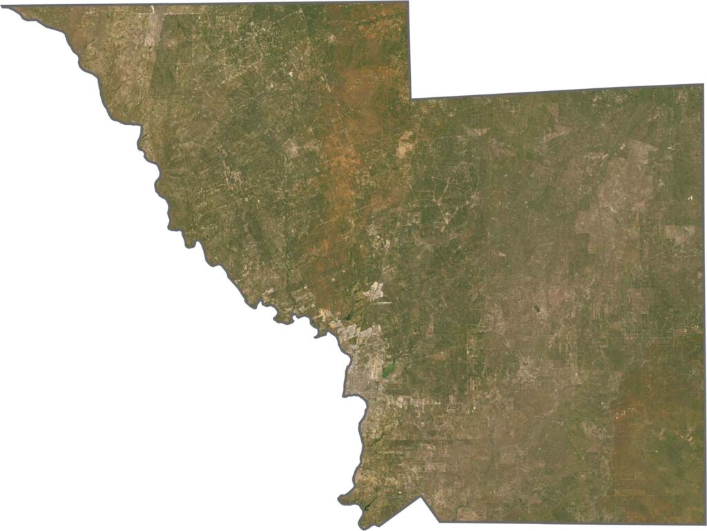
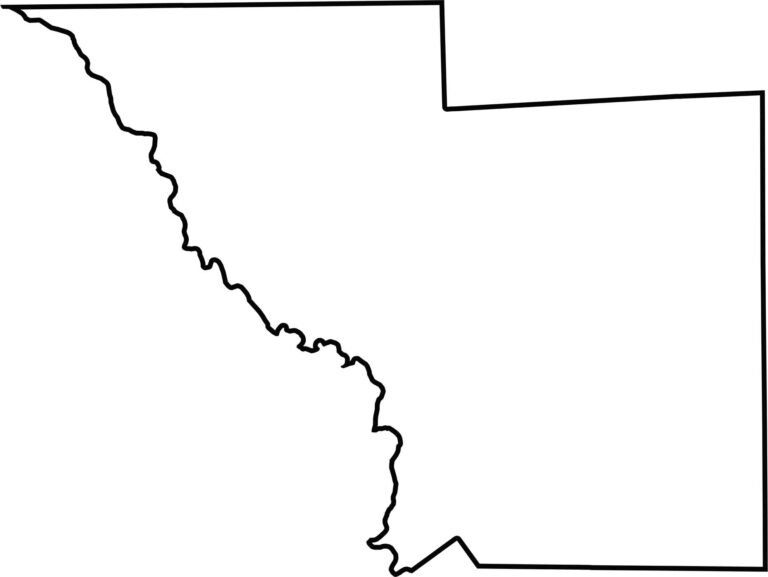
Webb County is a massive, blocky county that stretches far north from the Rio Grande. The river forms the southern edge and also marks the U.S.–Mexico border. No other state borders the county, but Mexico lies directly across the river.









Discover all 254 legendary Texas county maps, covering the Lone Star State from the Panhandle to the Rio Grande. That means more rodeos, honky-tonk, and Texas BBQ.