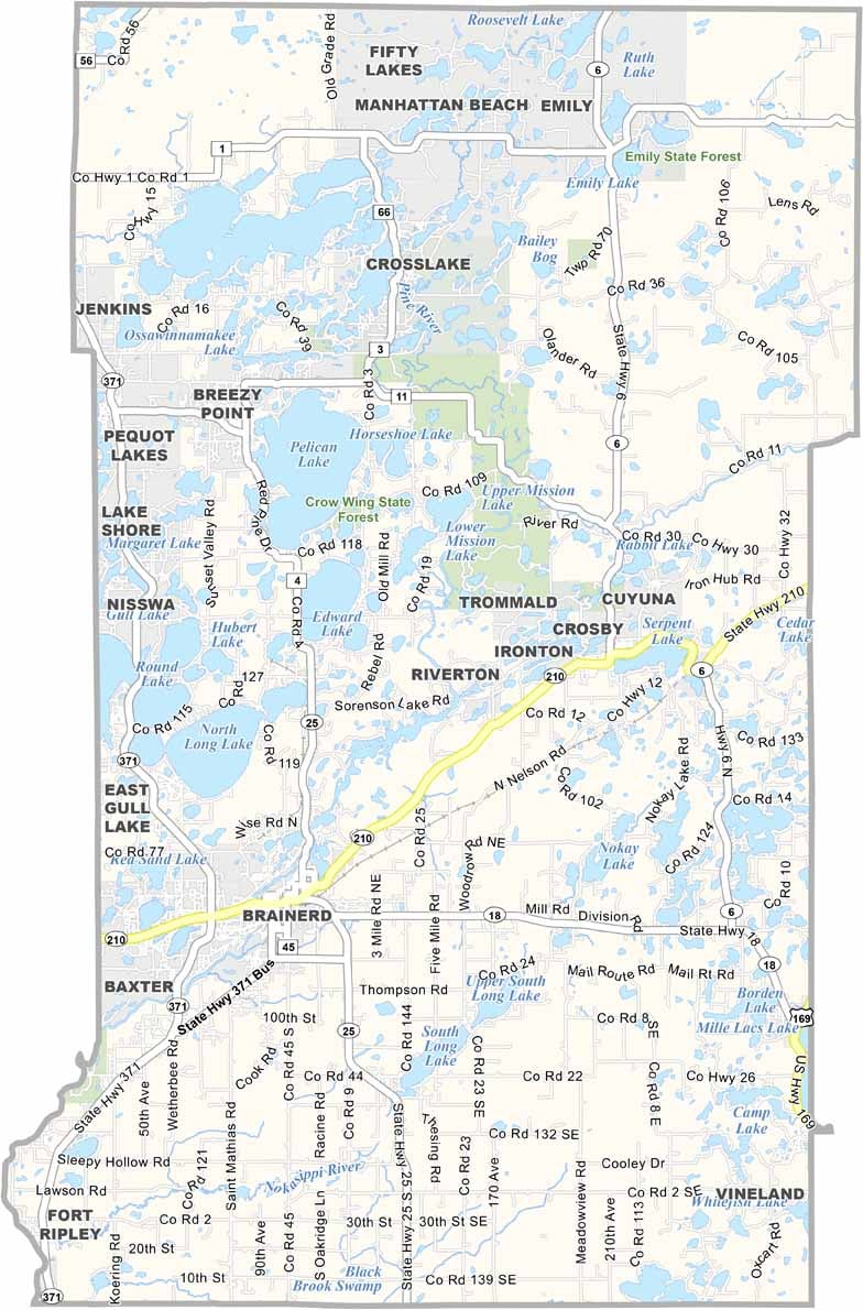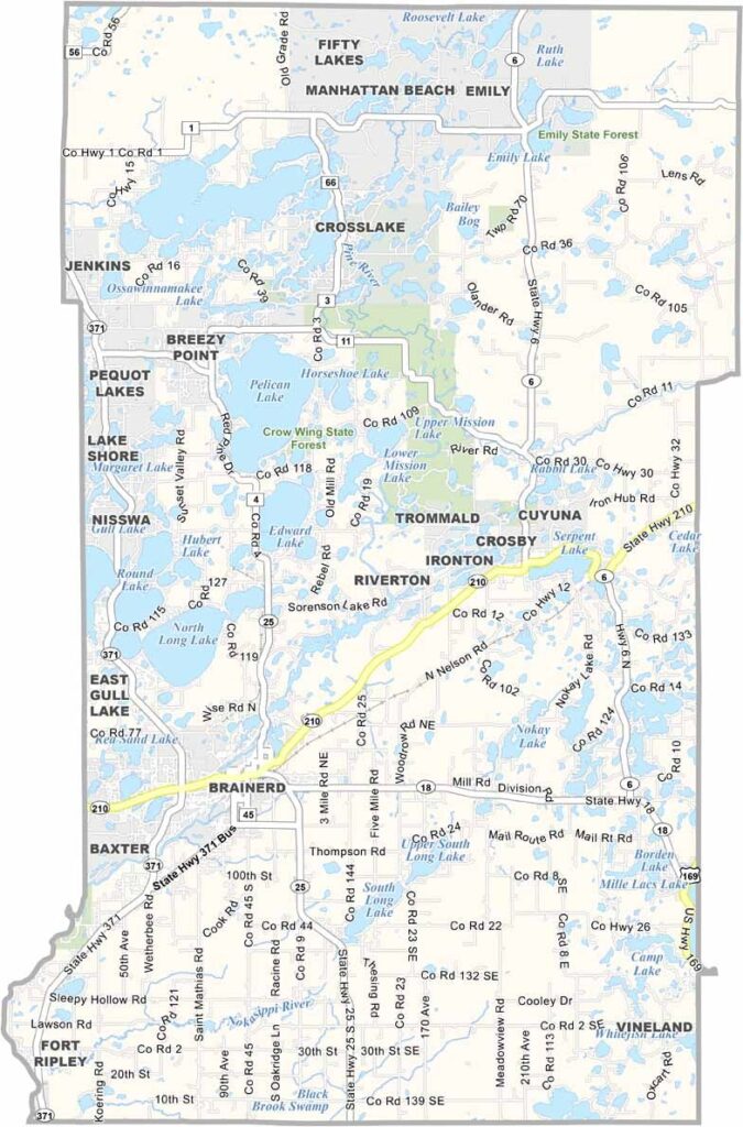
Crow Wing County Map, Minnesota

Crow Wing County, Minnesota

Crow Wing County is up in the heart of Minnesota, in the middle of the state, about two hours north of the Twin Cities. Lakes are everywhere here. Seriously, there are over 400 of them.

Brainerd, the biggest city, will make you feel right at home. The area has some cool history too, with old logging camps and Native American heritage sites. Paul Bunyan Land is a quirky local attraction that will give you a chuckle.

If you're into nature, the county has miles of trails winding through forests and along lakeshores. It's the kind of place where you can really slow down and enjoy the simple things in life.
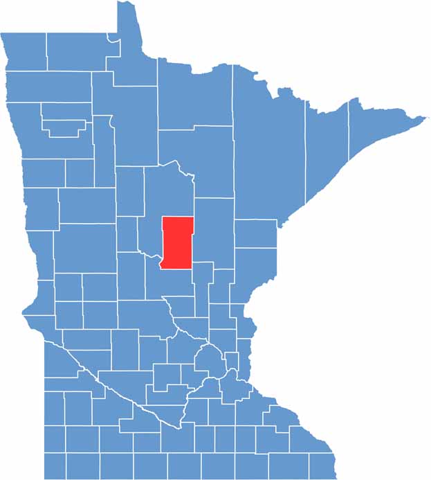

Crow Wing County location map of Minnesota
CategoryDetails
County NameCrow Wing County
County SeatBrainerd
PopulationApproximately 68,000
Cities, Towns, and CommunitiesBrainerd, Baxter, Pequot Lakes, Crosslake, Nisswa, Breezy Point, Emily, Crosby
Interstates and HighwaysMN 18, MN 25, MN 210
FIPS Code27-035
Total Area (Land and Water)1,157 square miles (Land: 999 sq mi, Water: 158 sq mi)
Adjacent Counties (and Direction)Aitkin County (Northeast), Mille Lacs County (Southeast), Morrison County (Southwest), Cass County (Northwest)
Time ZoneCentral Time Zone (CT)
StateMinnesota
Coordinates46.5012° N, 94.0510° W
EtymologyNamed after the Crow Wing River
Major LandmarksPaul Bunyan State Trail, Cuyuna Country State Recreation Area, Crow Wing State Park, Gull Lake
Scroll to Top